
Hello folks!
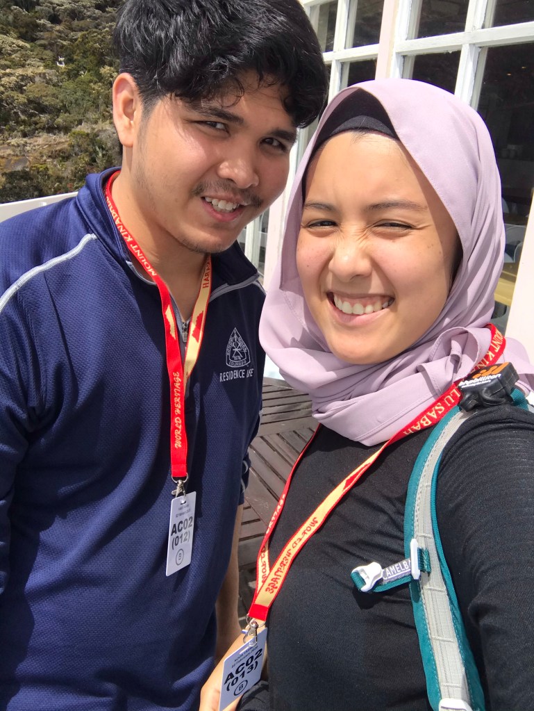
Today’s post will be interesting because Fahim and I are going to talk about our 2 day/ 1 night hike on the highest peak of Malaysia, Mt. Kinabalu. This trip is very dear to our hearts because we have been talking about scaling it ever since our college days, and that dragged on until sometime in October of last year, when we decided to finally give it a go. The trip became possible when a friend of mine told me that she was planning to hike too, and that she found a guided trip at an affordable price. Safe to say, we were both hooked, registered both our names and bought flight tickets right away!
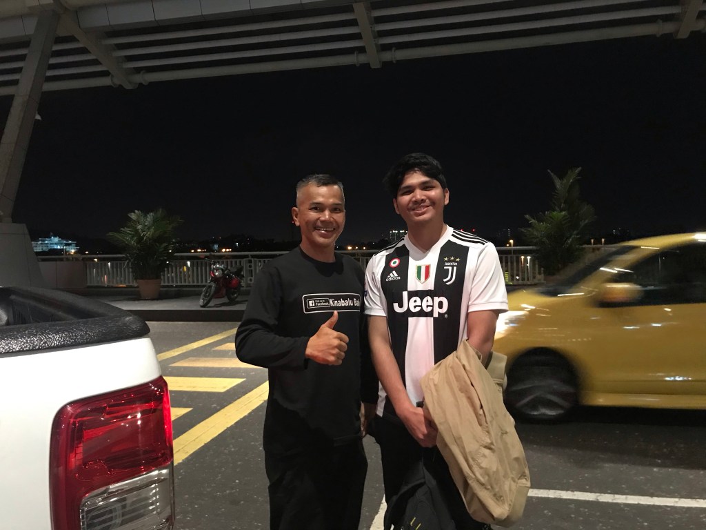
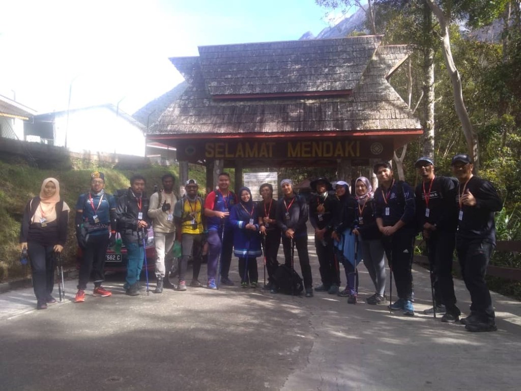
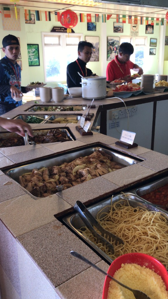
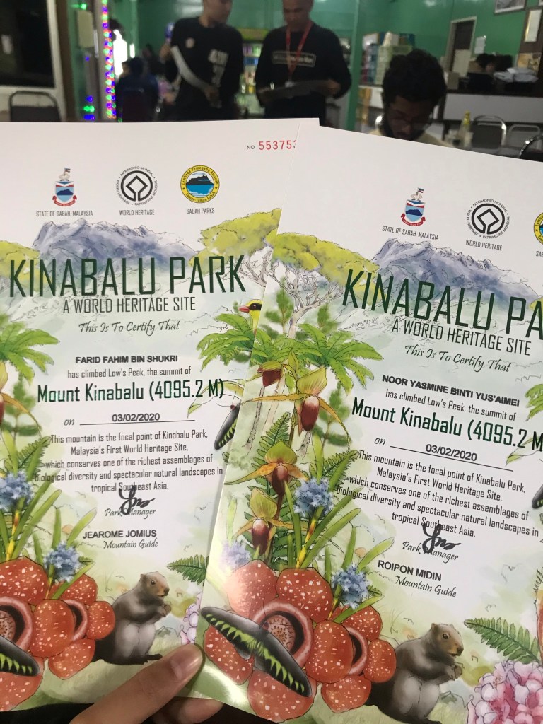
Firstly, we would like to introduce our extremely skilled yet generous guide, Jaffri from KinabaluBah. We would recommend many others to choose KinabaluBah (ain’t a sponsored post, by the way) because our trip was only RM700 per person! The expenses include your overnight stay at Laban Rata, permit, certificate, buffet meals for the entire 2 days/ 1 night stay (breakfast, lunch, dinner, supper, breakfast next day and late lunch the day after), three local yet expert guides and a ton worth of pictures the whole way. Also, Jaffri is extremely friendly and kind, and would ensure that you get to the peak and back safely no matter what! He would wait for you if you need some time to recover from AMS, or would carry you if you injure yourself, and he has all the supplies needed to help you get back on your feet and to get that colored certificate everyone have been dreaming of!
Click on this link to redirect to Kinabalu Bah facebook page.
First of all, here are some important info on our Kinabalu hike:
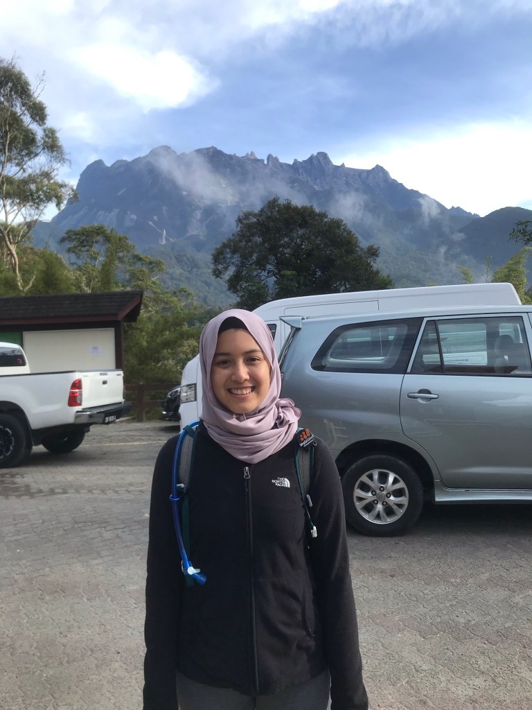
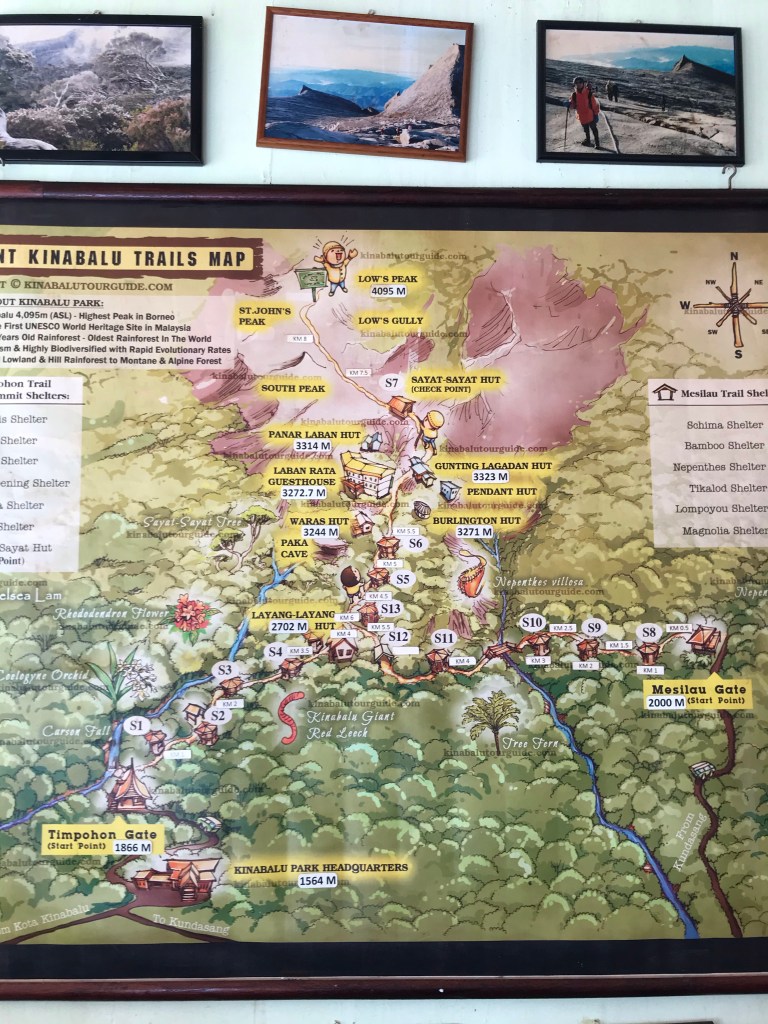
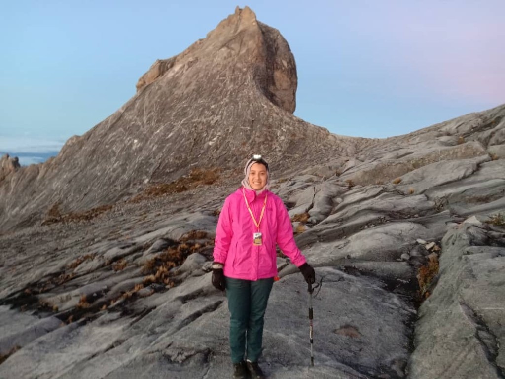
1. Summit elevation: 4095 m/ 13, 435 ft
2. Route: Timpohon trail
3. Distance: 8.7 KM each way
4. Duration: 2D/1N
Anyway, this was our itinerary of the whole trip:
First day (2nd Feb 2020)
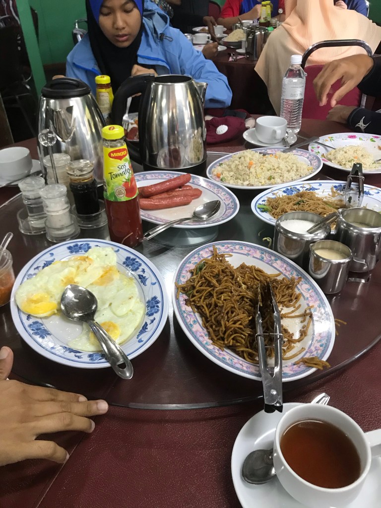
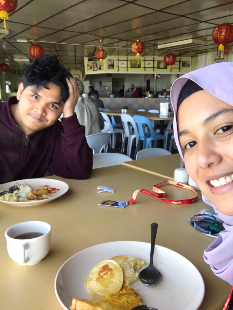
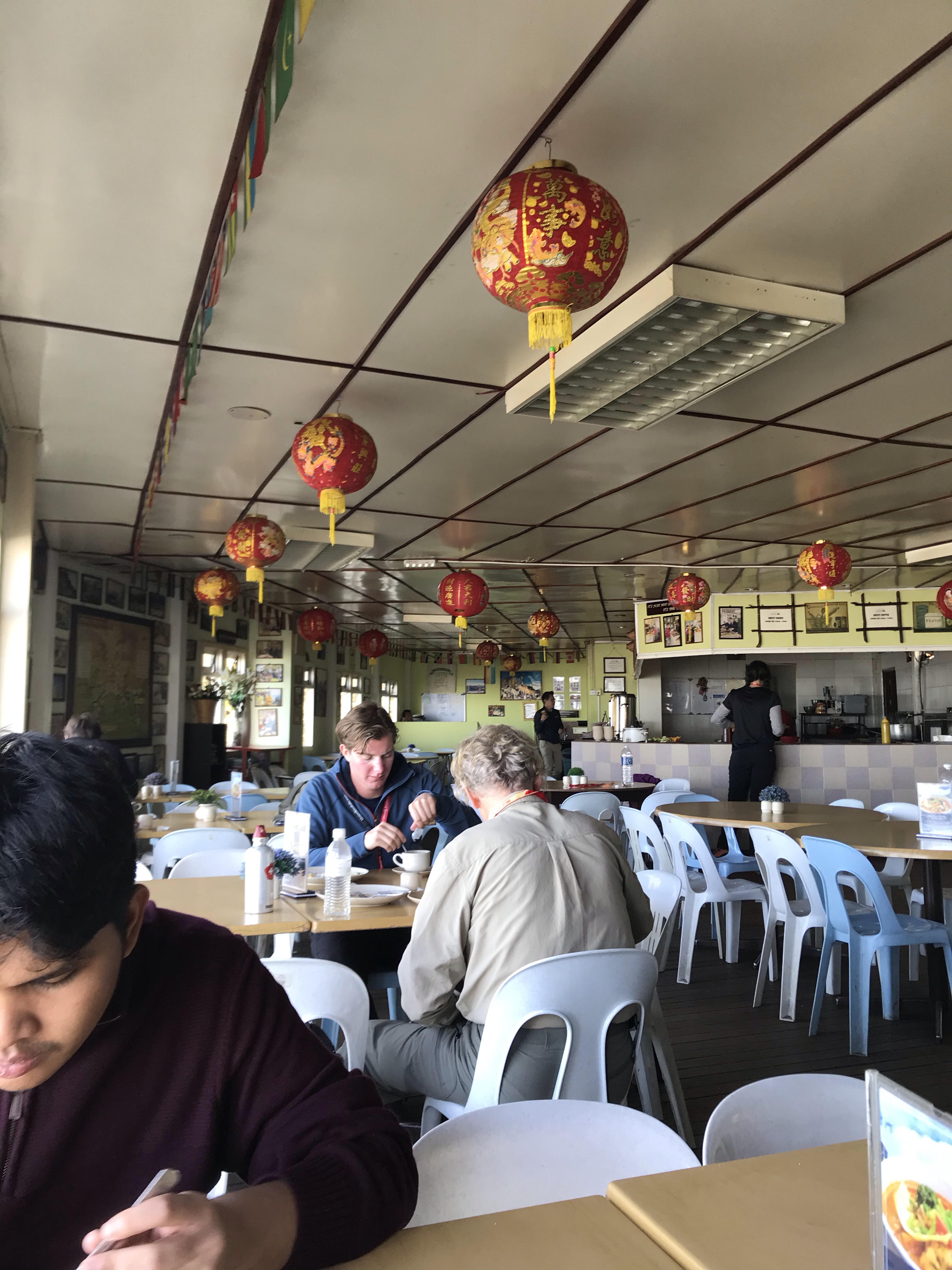
7am: Breakfast at Restoran Panataran
This restaurant sits literally outside of the Kinabalu Park, and the main dining spot for hikers alike. The breakfast was also included in the trip expenses.
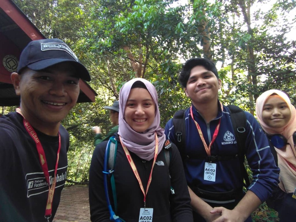
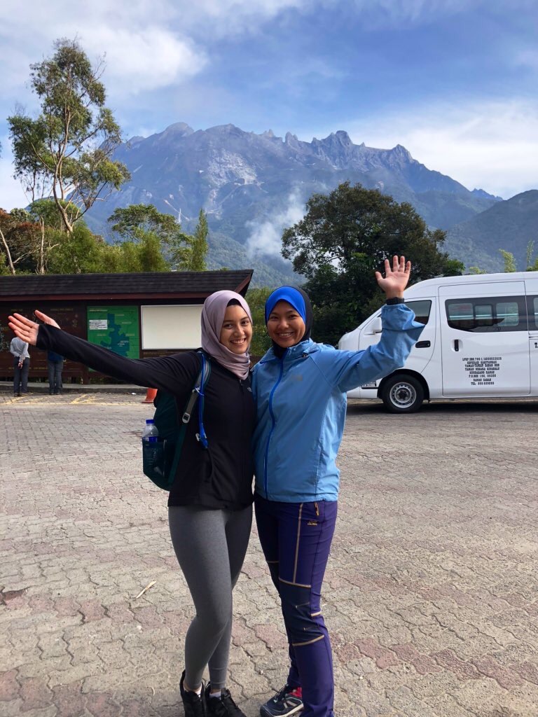
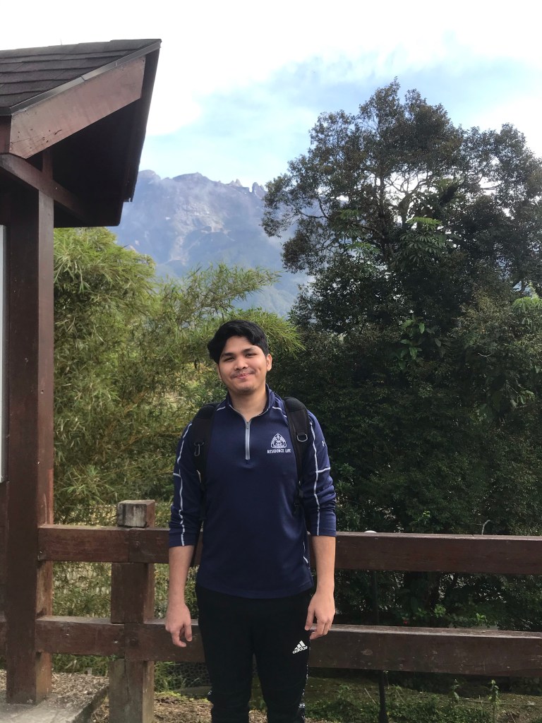
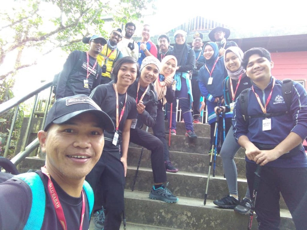
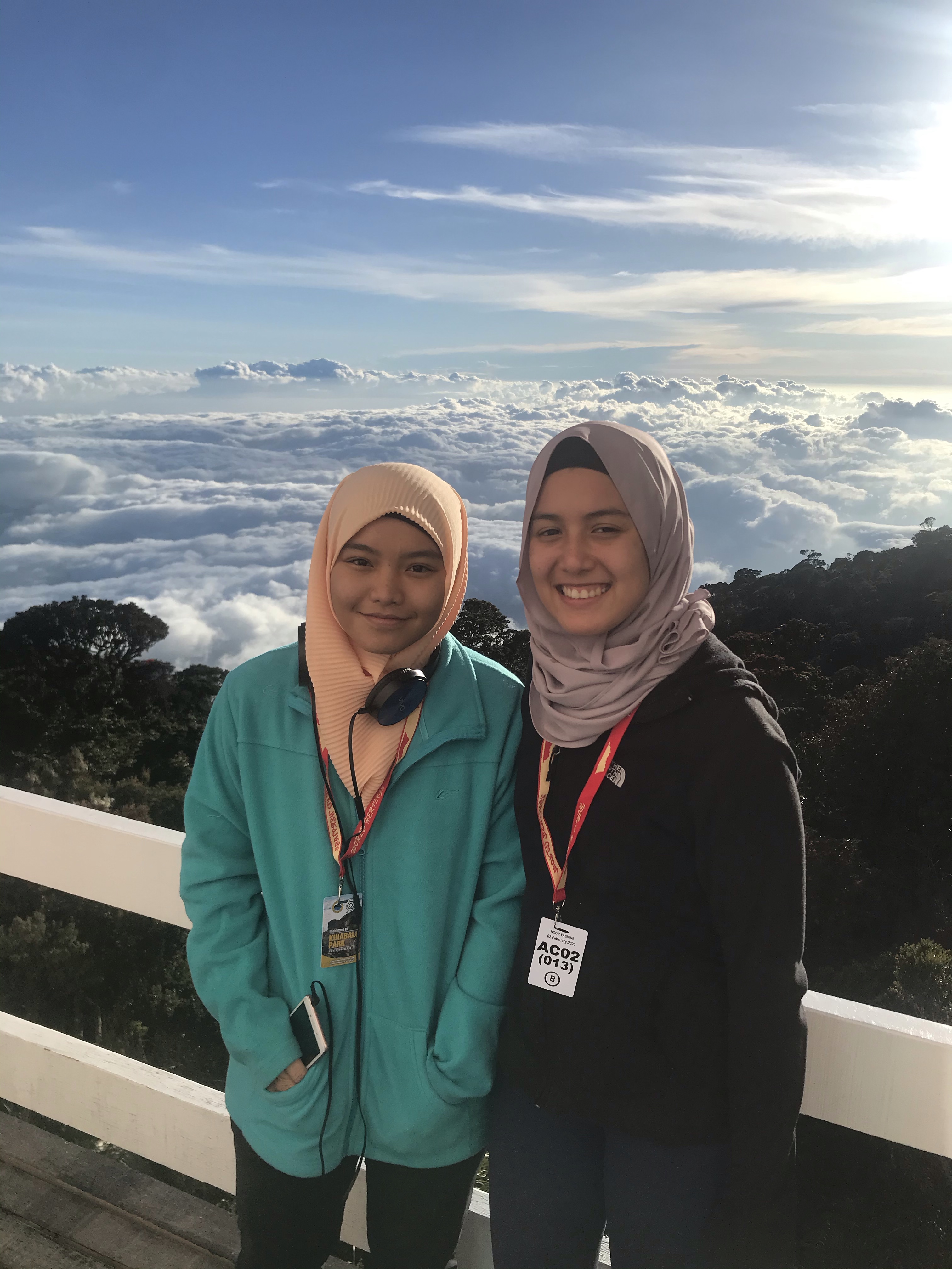
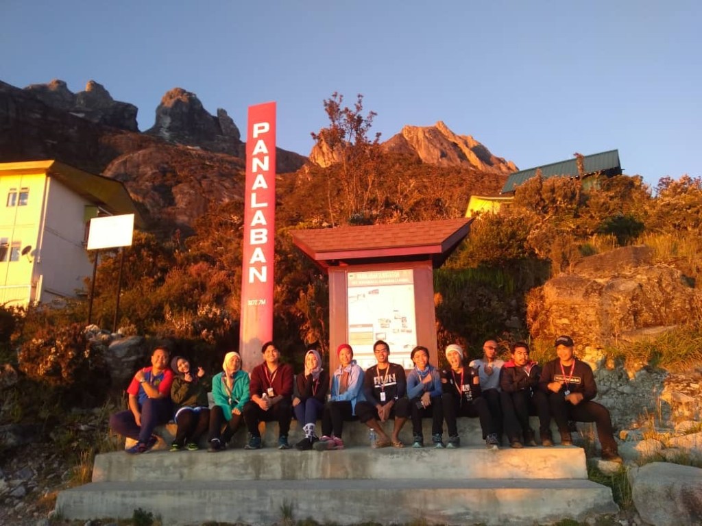
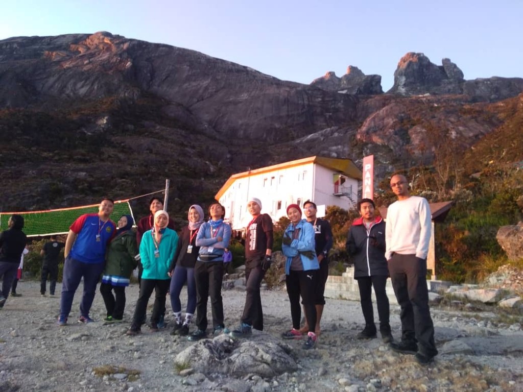
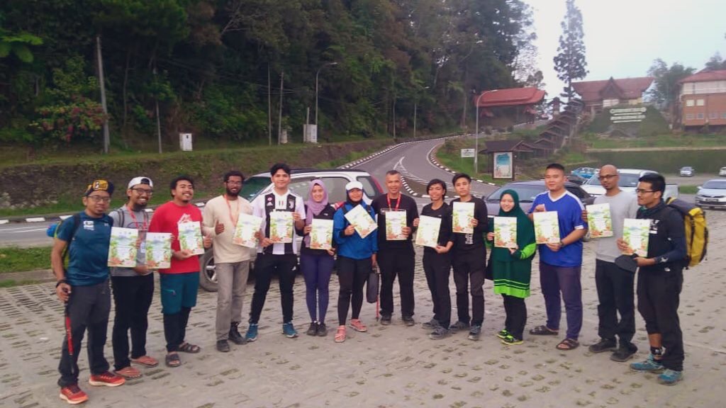
We also met up with the rest of our group members at this restaurant. There were 15 of us altogether.
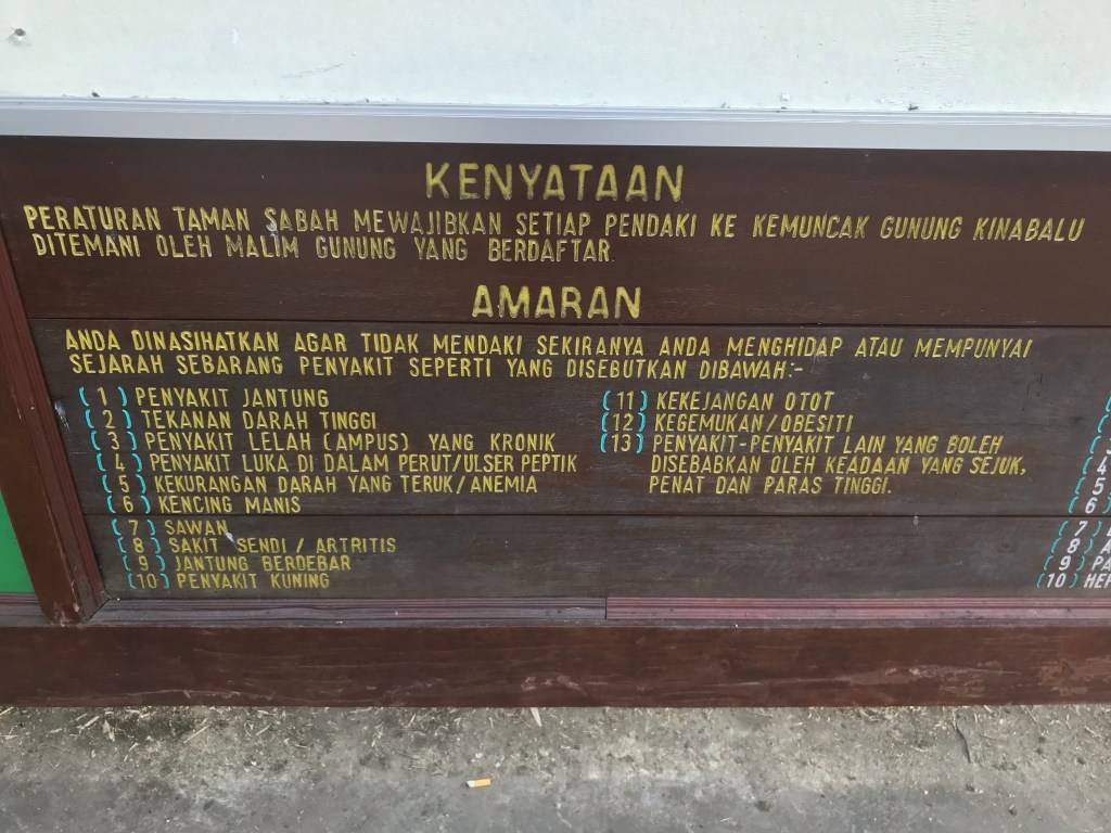
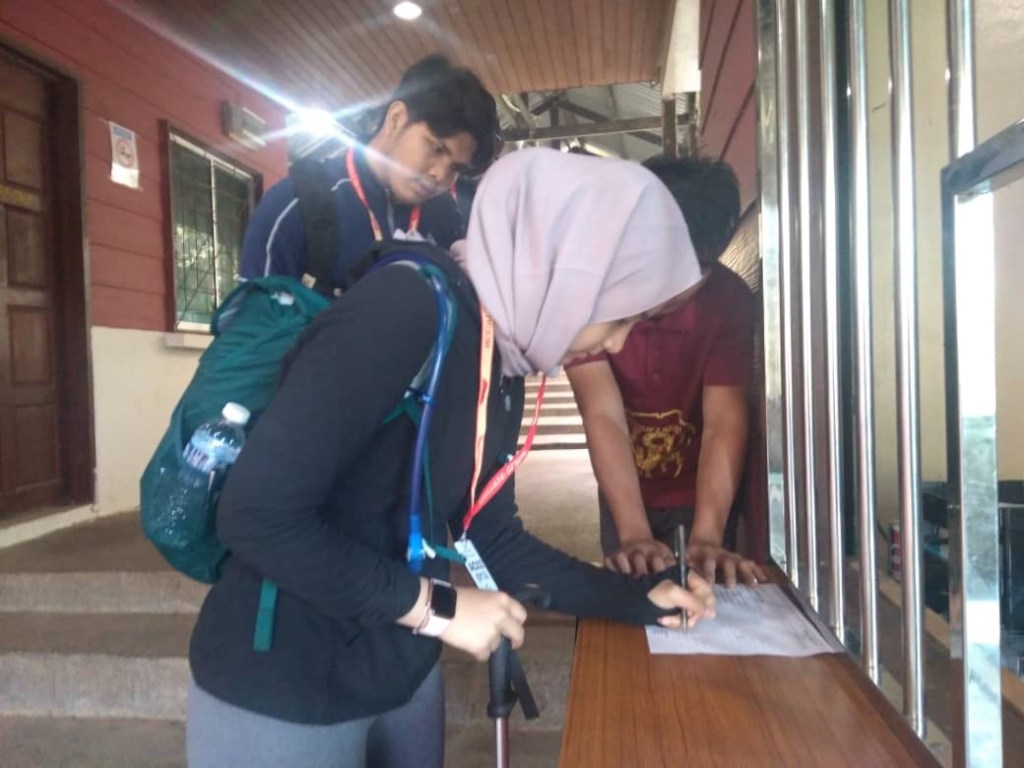
8 am: Registration in Kinabalu Park
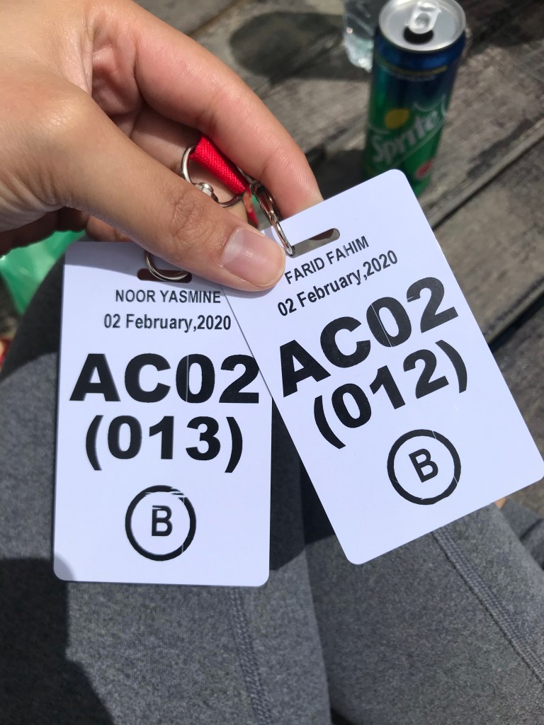
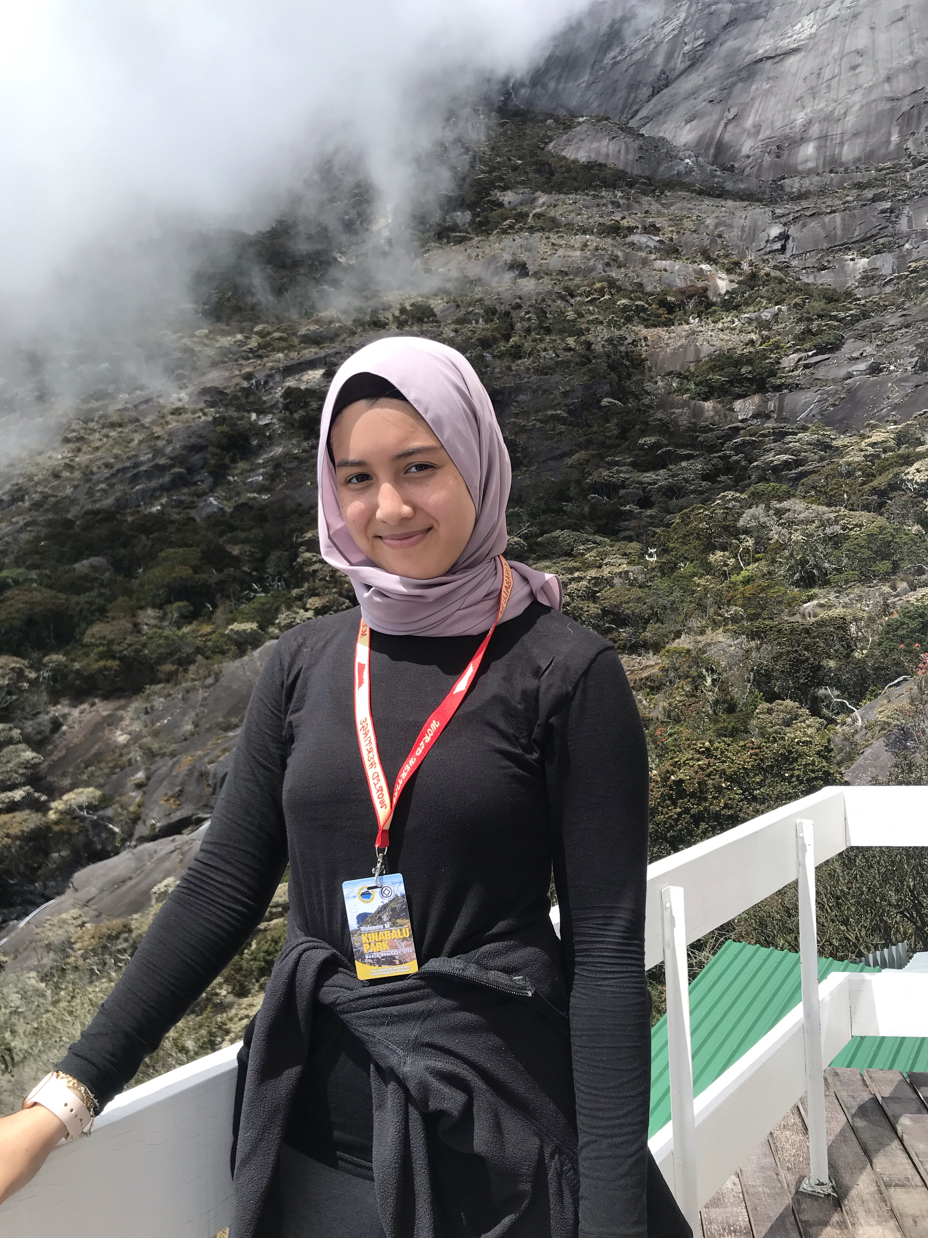
After our breakfast, we walked to the main office in Kinabalu park for registration. This is where we fill up forms containing our details, as well as getting our tags which is a very essential piece for the hike. You will be expected to have your tags with you at all times during the hike (especially at the following checkpoints: Timpohon Gate, Laban Rata, Sayat-Sayat hut).
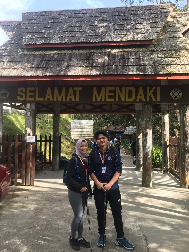
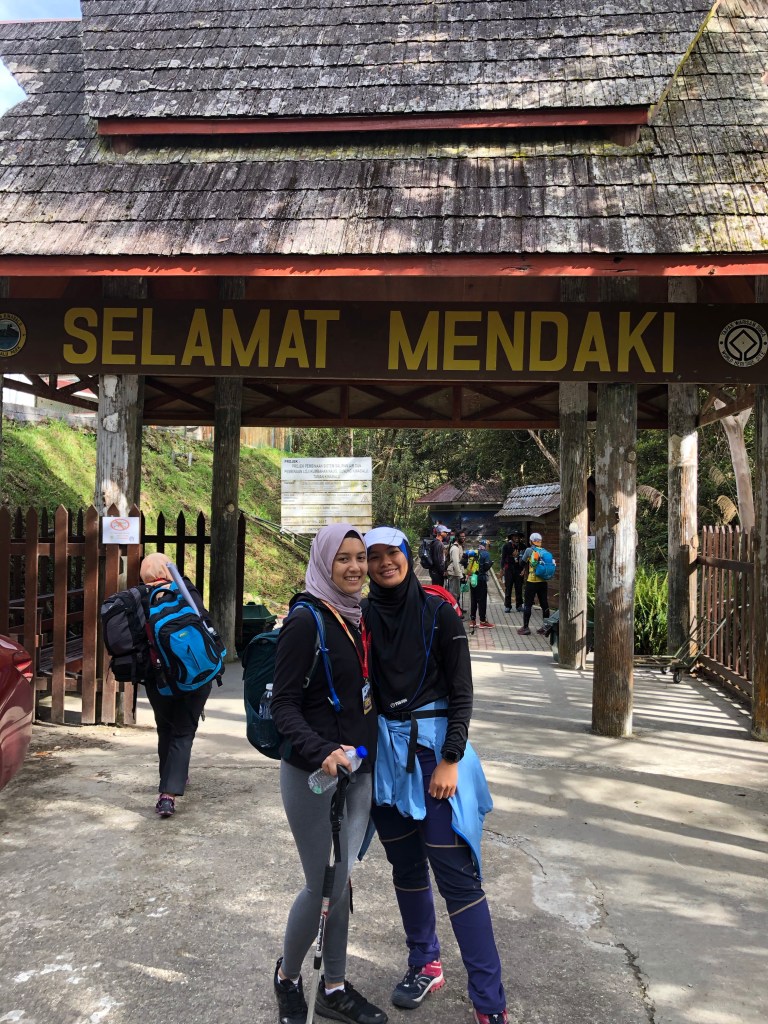
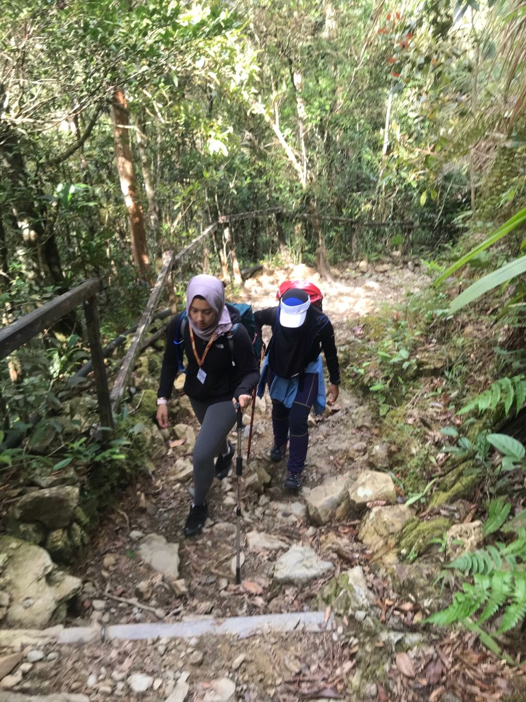
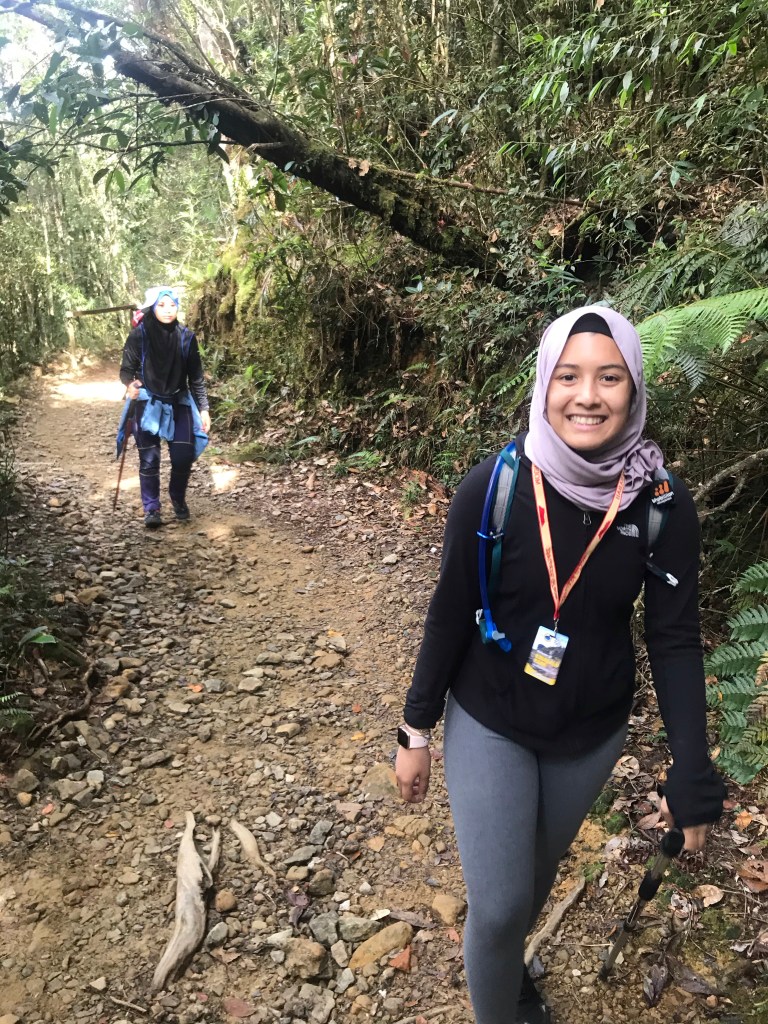
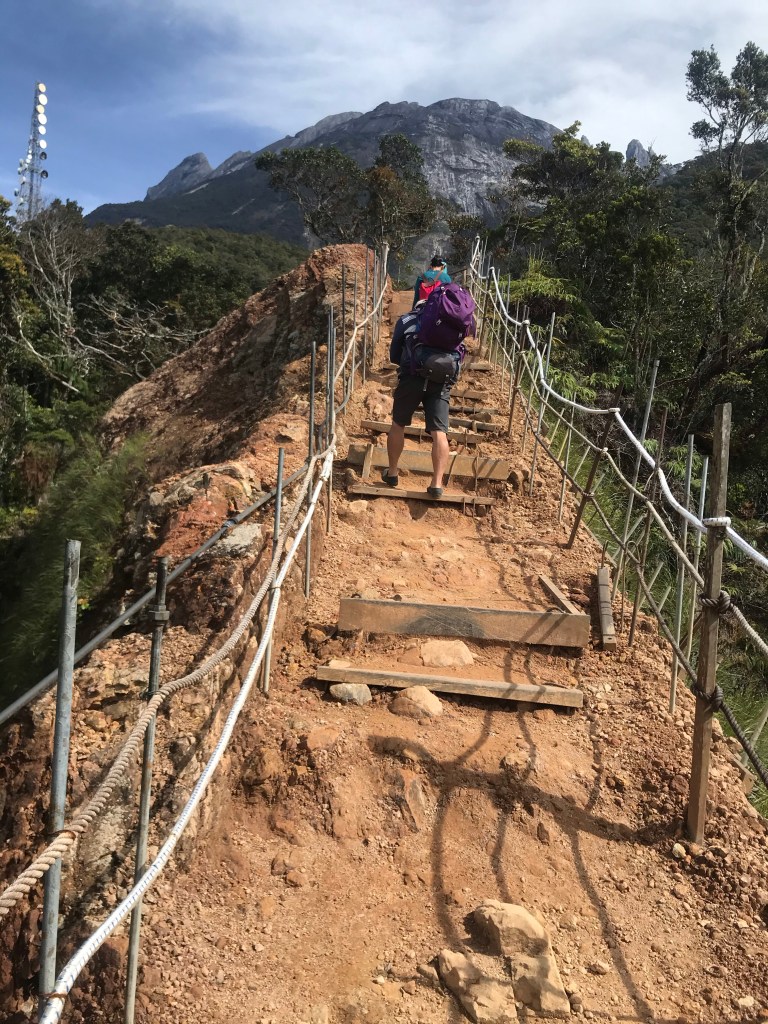
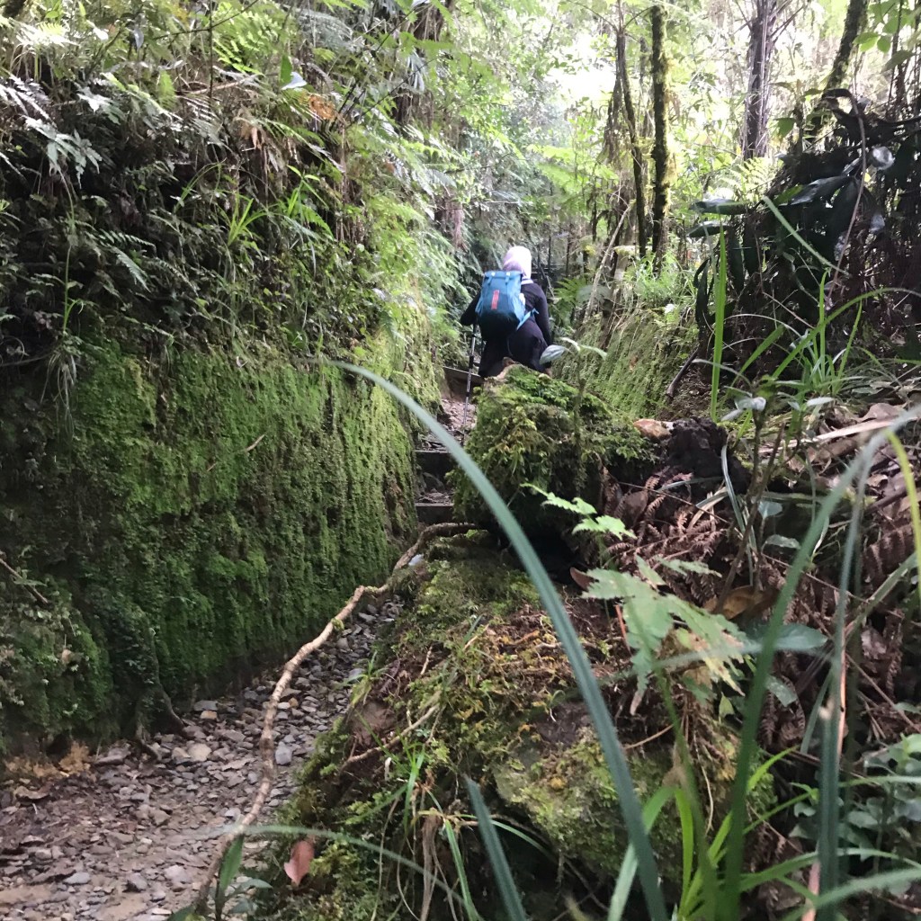
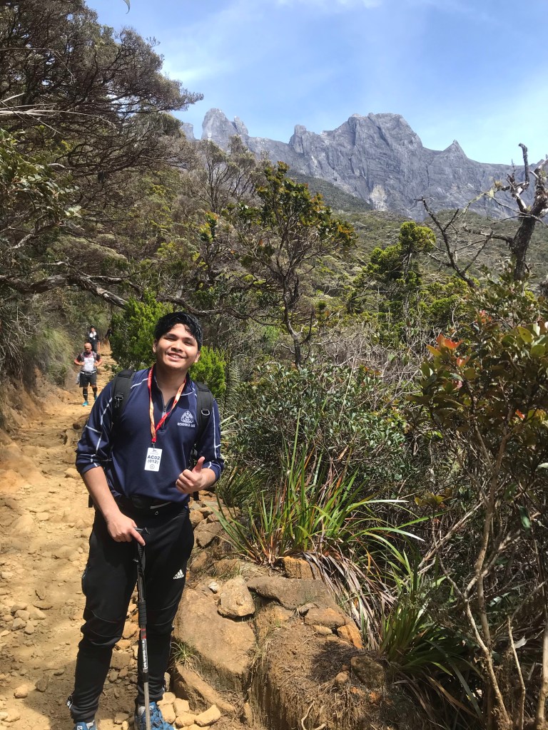
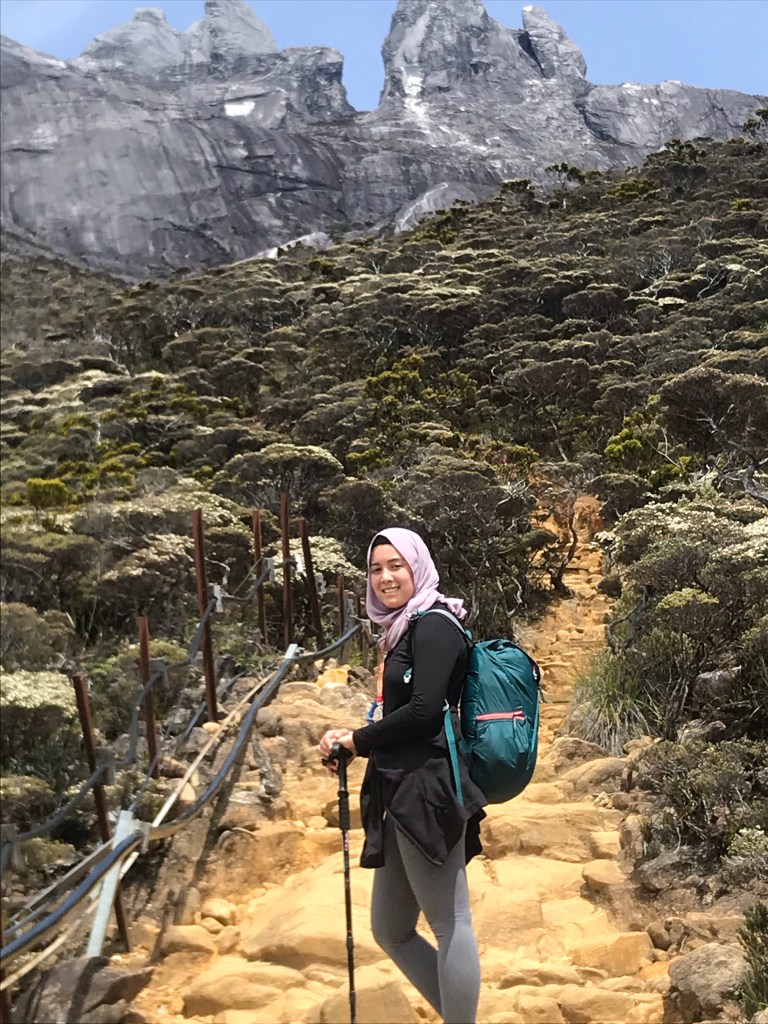
9am: Start hiking via Timpohon trail
After registration, all 15 of us carpooled to Timpohon Gate, which is our very first checkpoint. Here is also where we have to double check our names and our tag numbers prior to the hike.

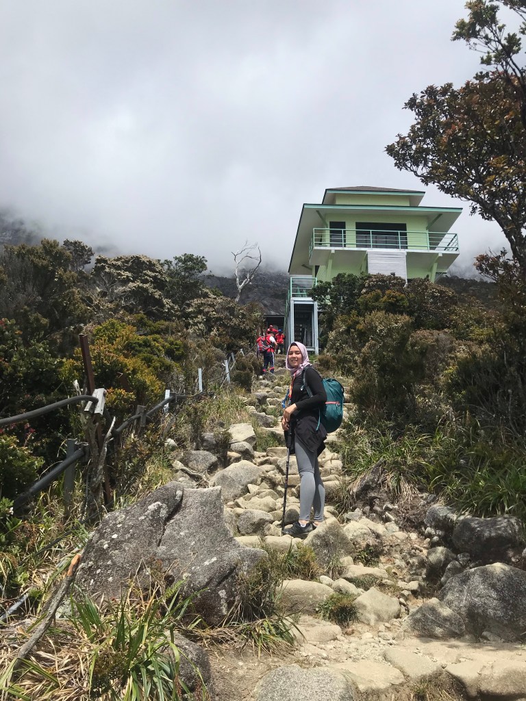
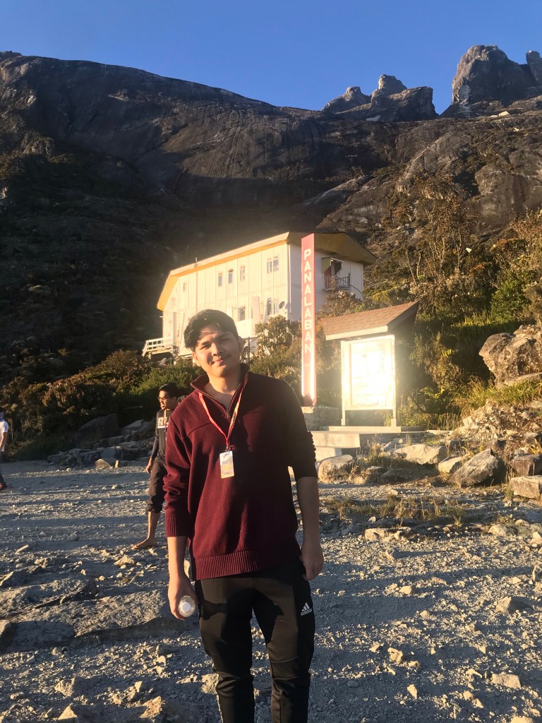
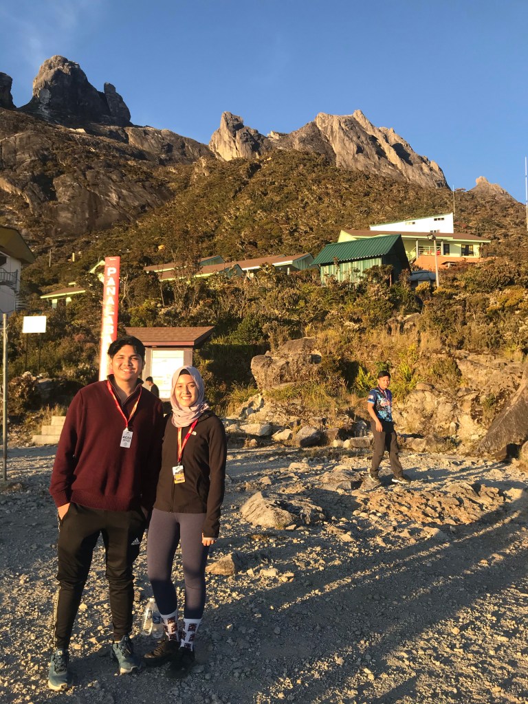
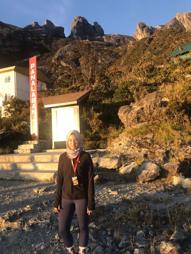
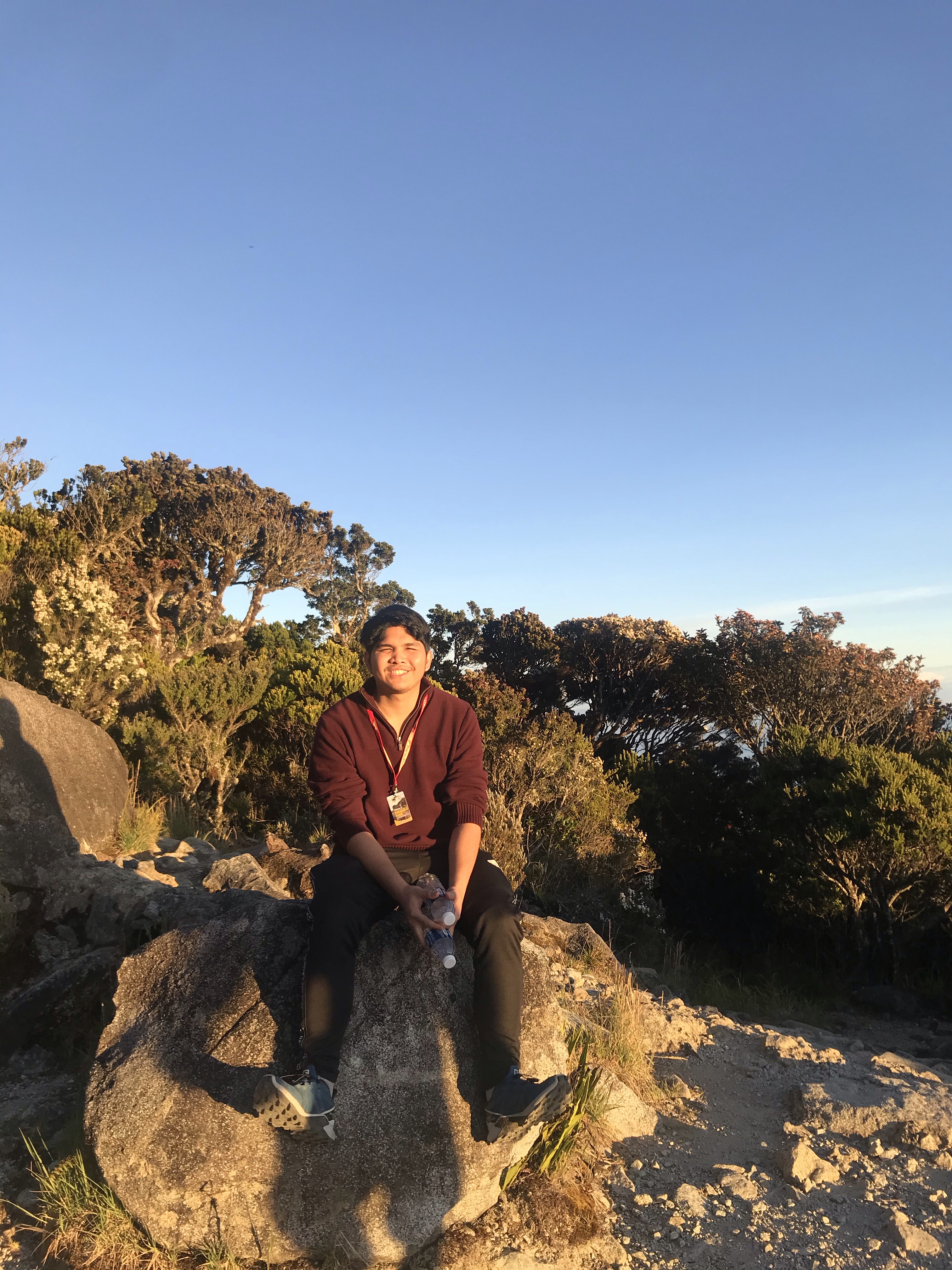
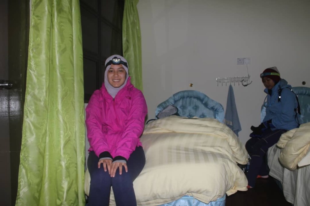
12:30 pm: Reached Panalaban
5:00 pm: Dinner
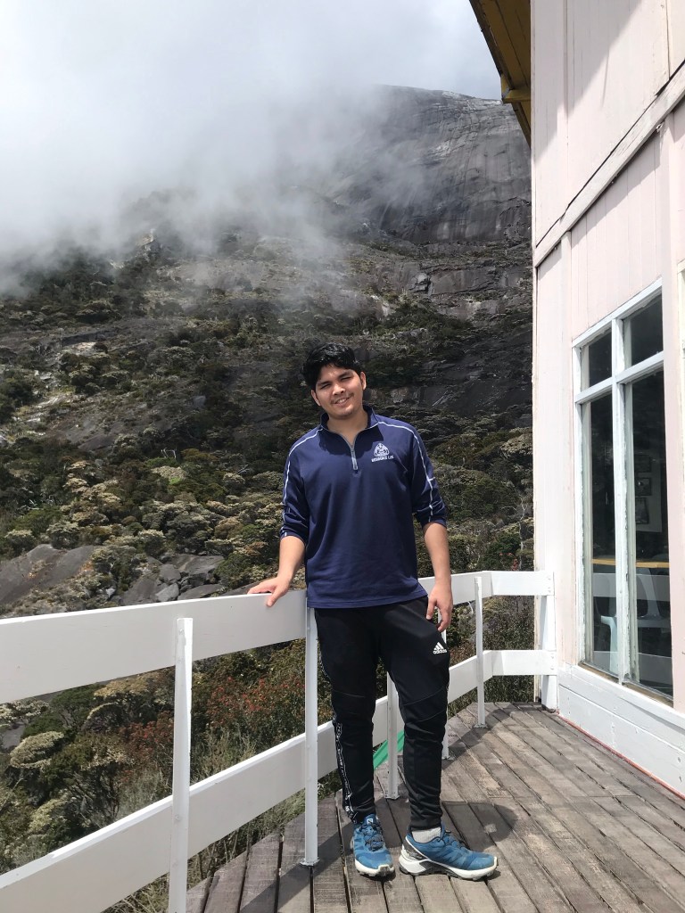
We had our dinner at around 5pm. Prior to that, we showered and rested for a bit while waiting for the others to reach Panalaban. There was no water heater, of course, but showering really helps to cool down blood vessels and ultimately making us feel more relaxed and refreshed.
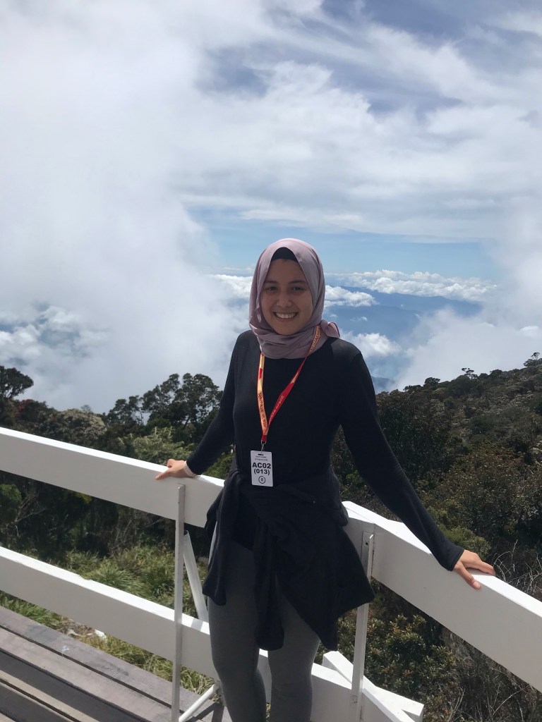
Afterwards, we went down to the dining area to have our dinner and to enjoy the pretty view that Kinabalu has to offer.
8:00 pm: Rest
Second day (3rd Feb 2020)
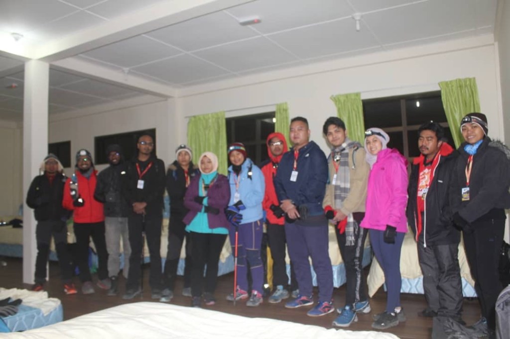
2:00 am: Supper at Panalaban
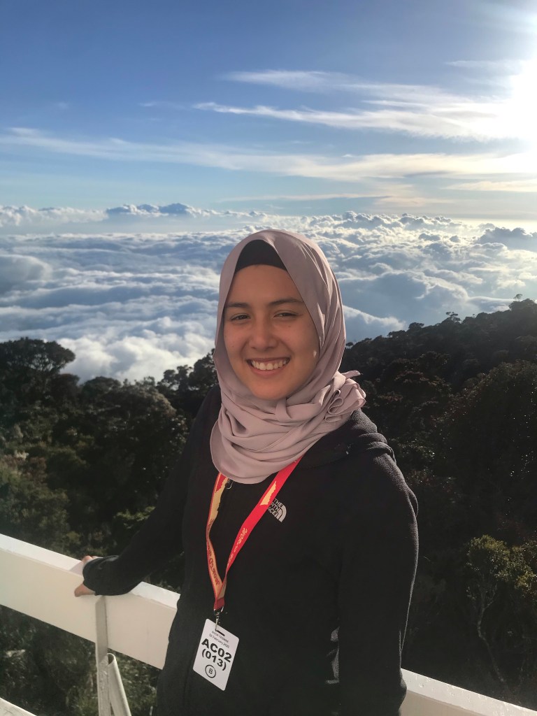
The next morning, En Jaffri woke us up sometime before 2am so we could get ready and head to the dining area to have our supper before continuing our summit hike. We honestly cannot tell you how unbelievably cold the morning was. I (Yasmine) was in three layers of shirts, and two layers of pants. We both were wearing hot packs in our gloves and shoes which tremendously helped in warming us.
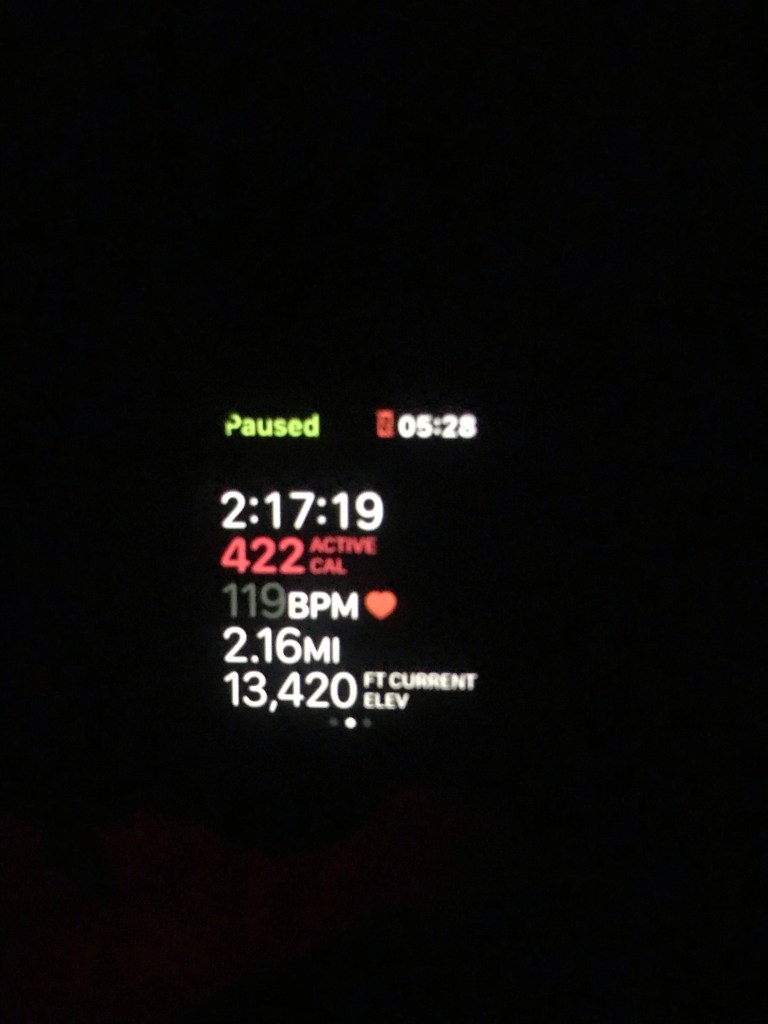
2:45 am: Start ascending to the peak
Unfortunately, we had no pictures during this part of the hike as we were freezing. Basically, our next checkpoint before reaching the peak was Sayat-Sayat hut. Our guide has told us that everyone had to reach Sayat-Sayat before 5:30 am or they would not allow us to venture any further. This was done as a safety precaution. So, we had to time ourselves for this part of the hike. This hut is located between KM 7.0 and KM 7.5. Therefore, we still had another 1km from Sayat-Sayat to Low’s Peak.
The trail from Panalaban to Sayat-Sayat was “staircase” steep, but was definitely 2x more intense from previous day.
We finally reached Sayat-Sayat checkpoint at 4:00 am. We waited for some of our group members here, but after 20 minutes, we decided to continue as we were getting cold.
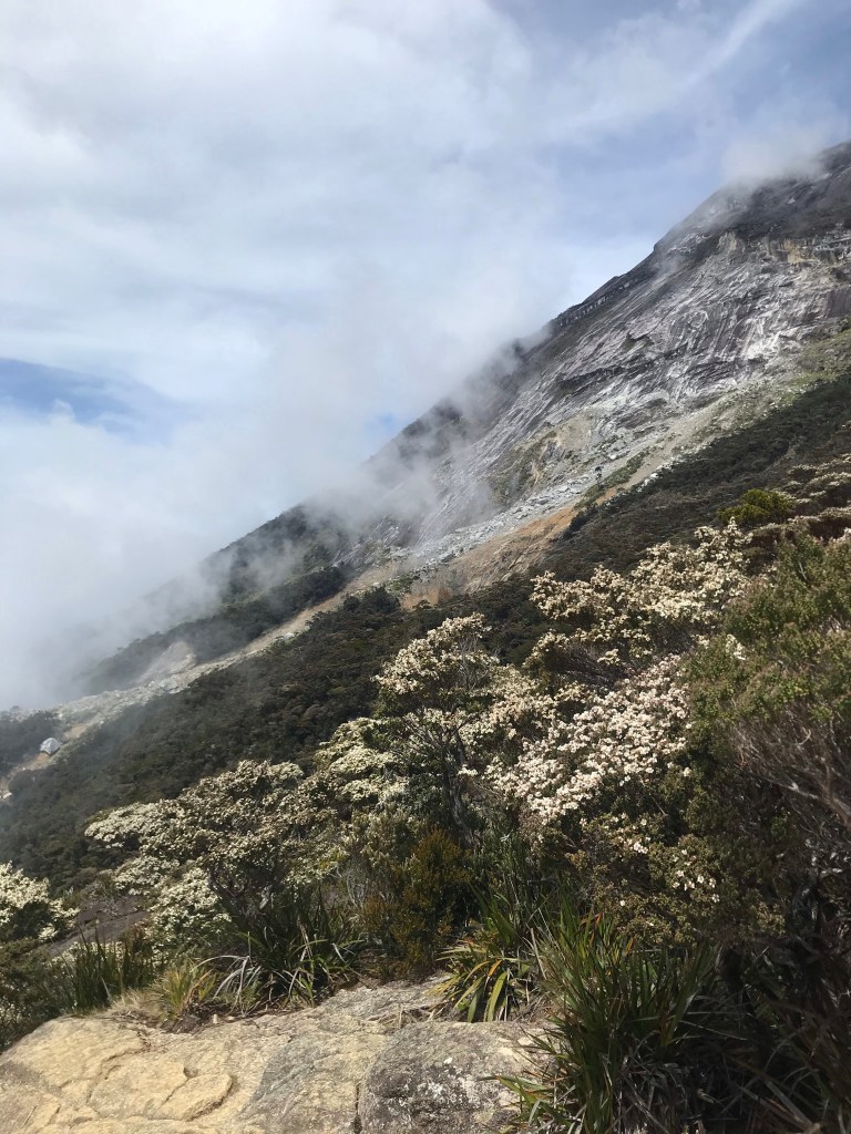
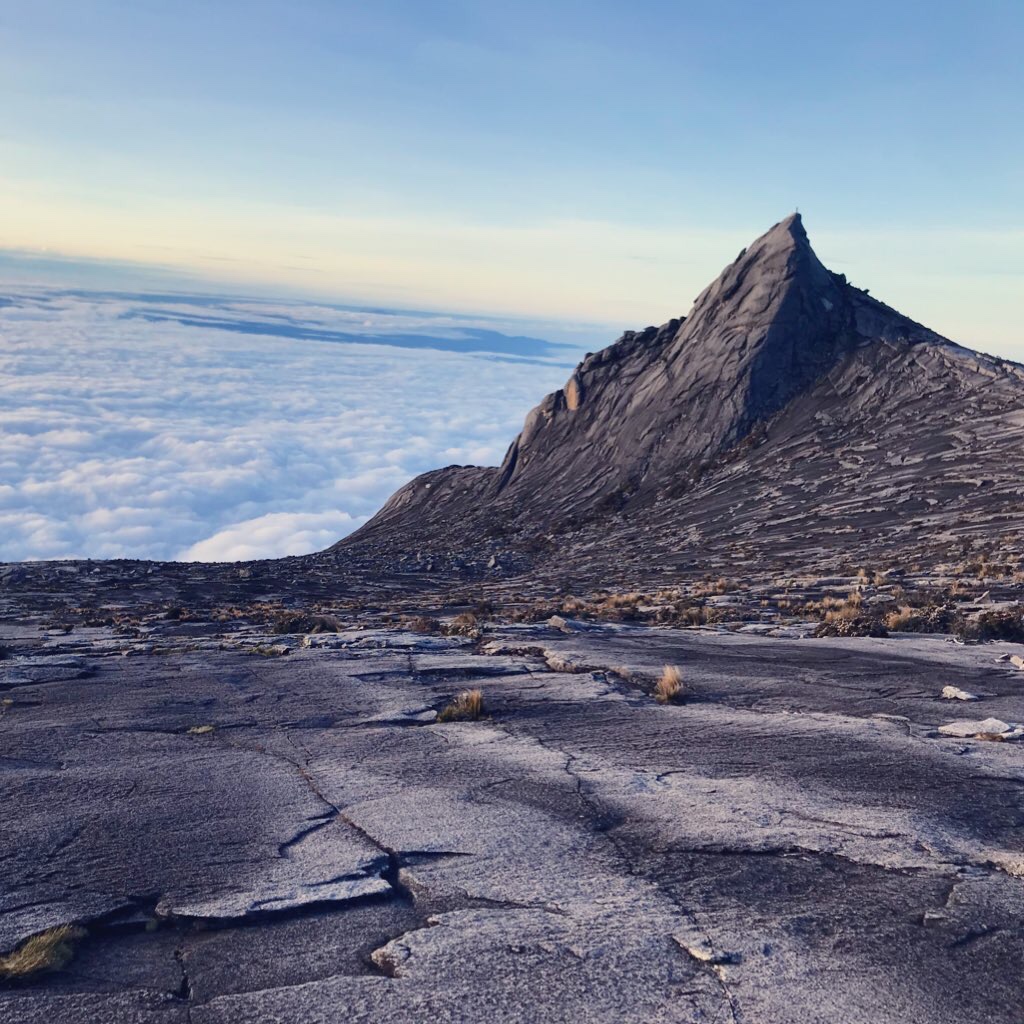
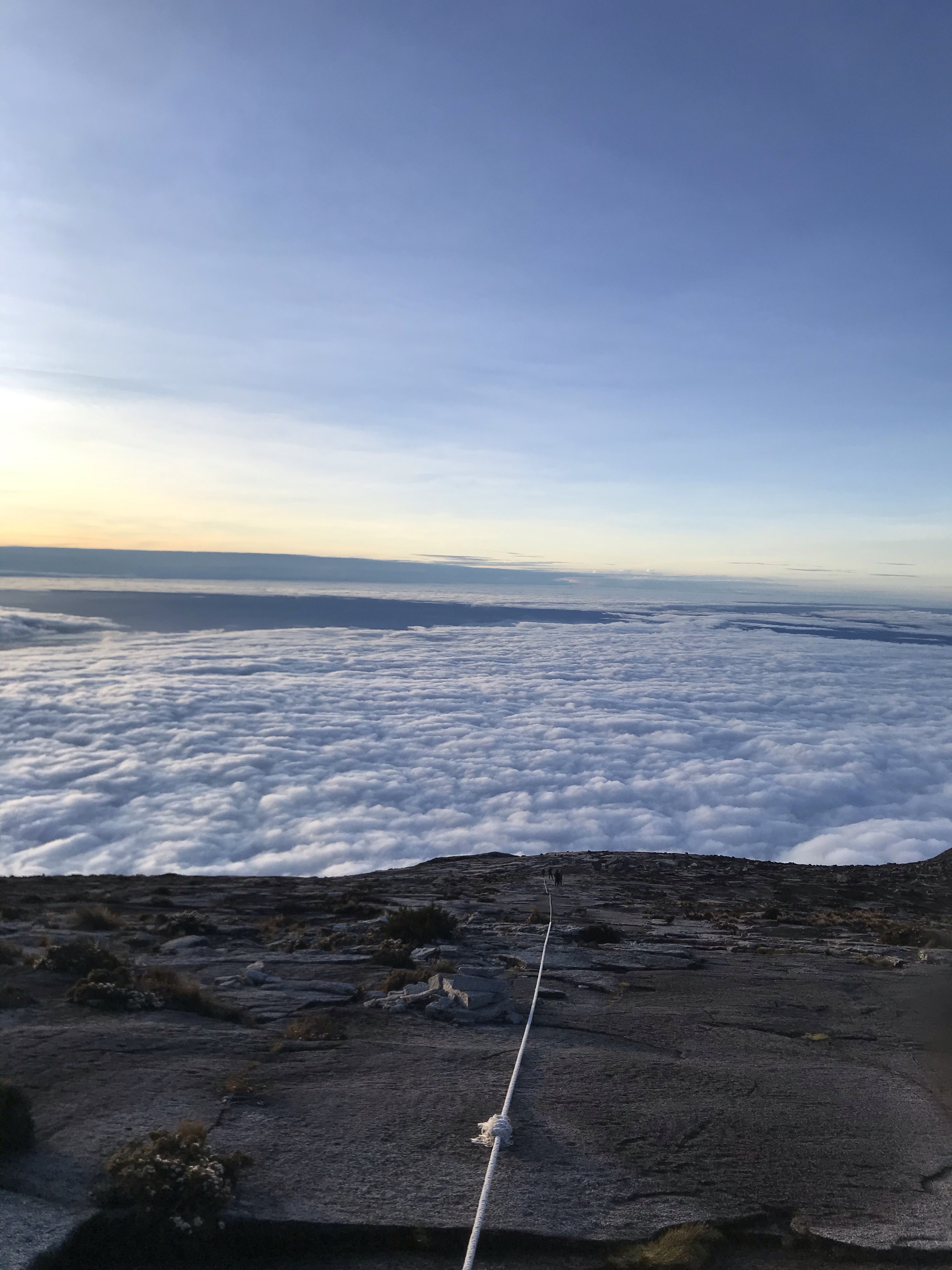
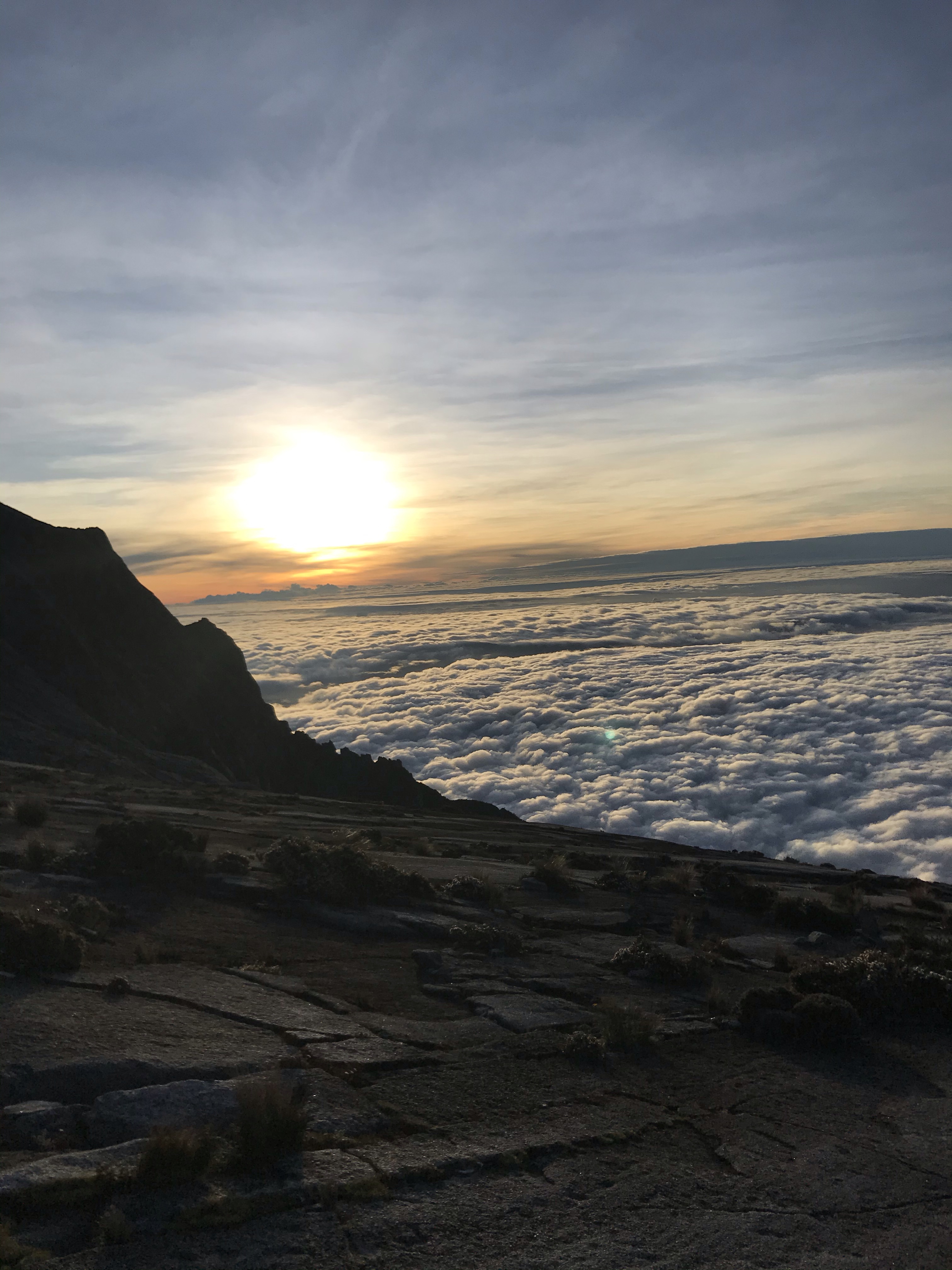
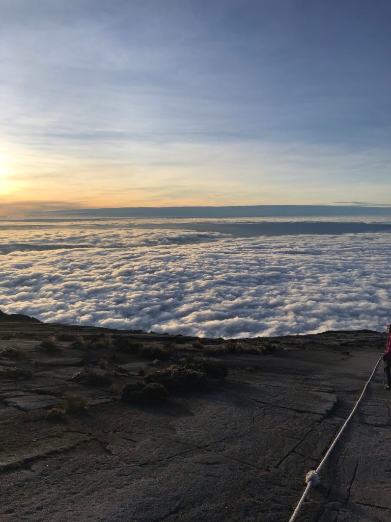
The trail from Sayat-Sayat hut to the peak is no joke. It was steep all the way, We’re pretty sure the inclination from here onwards was 45 degree-ish and steeper. There are ropes provided all the way to the peak at this point. It’s important to wear gloves to help you when you’re depending on the ropes. One can get severe AMS due to rapid elevation gain, so please be careful. If you start feeling AMS or cramps, please get the “air garam” or ORS dehydration salt to somewhat make you feel better.
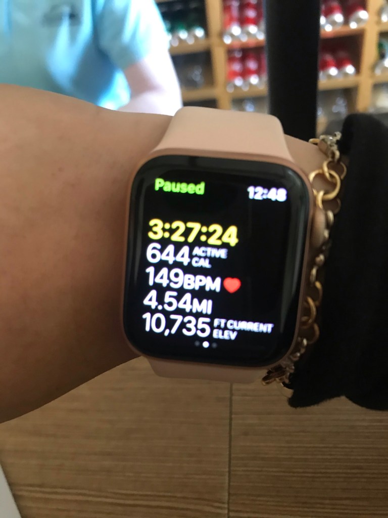
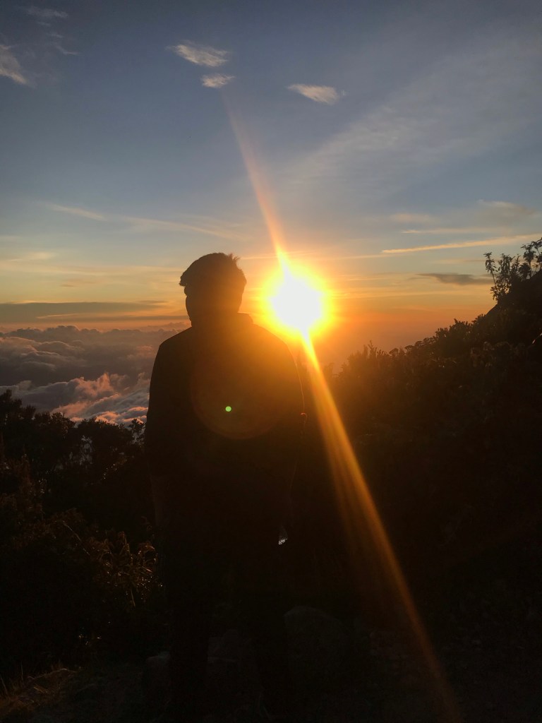
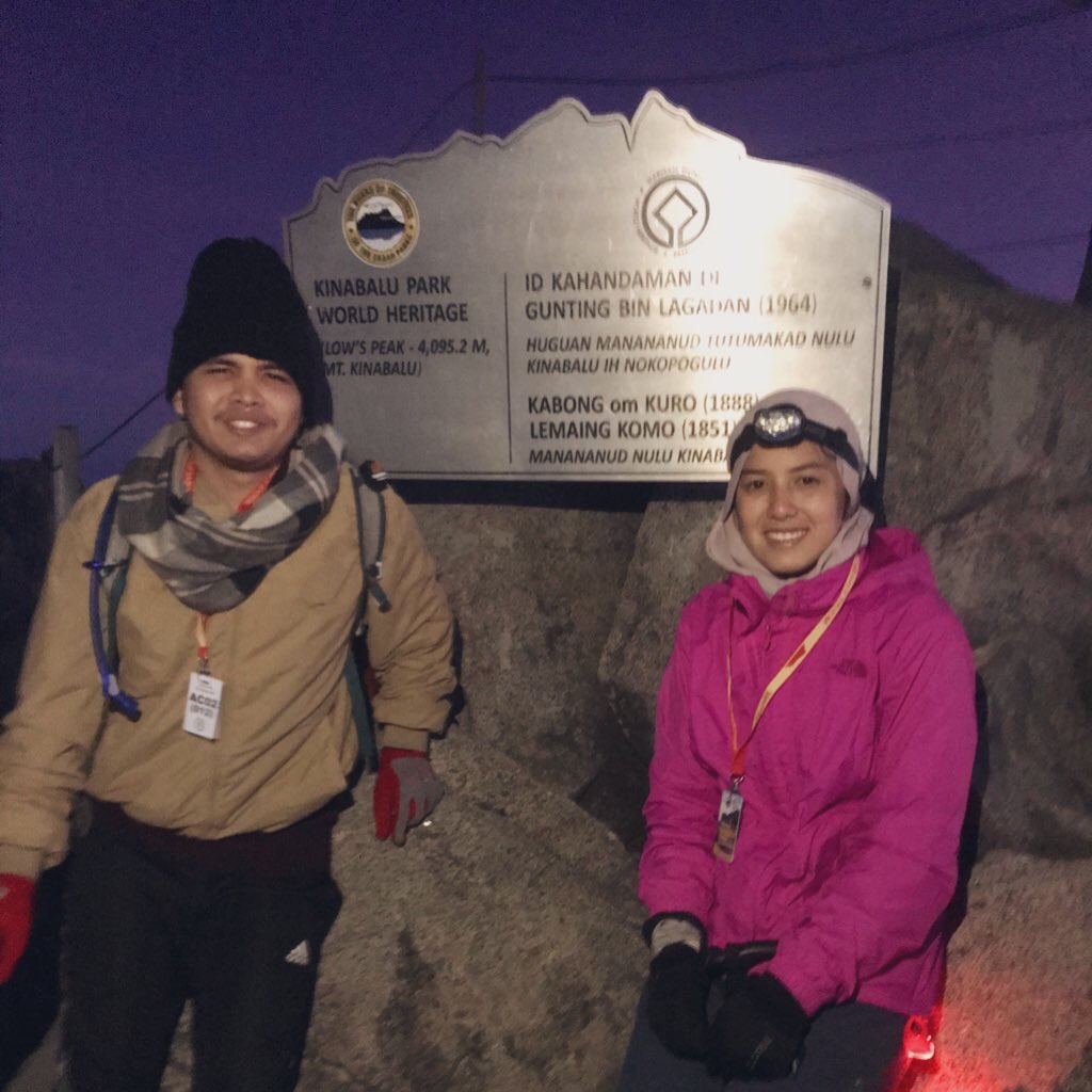
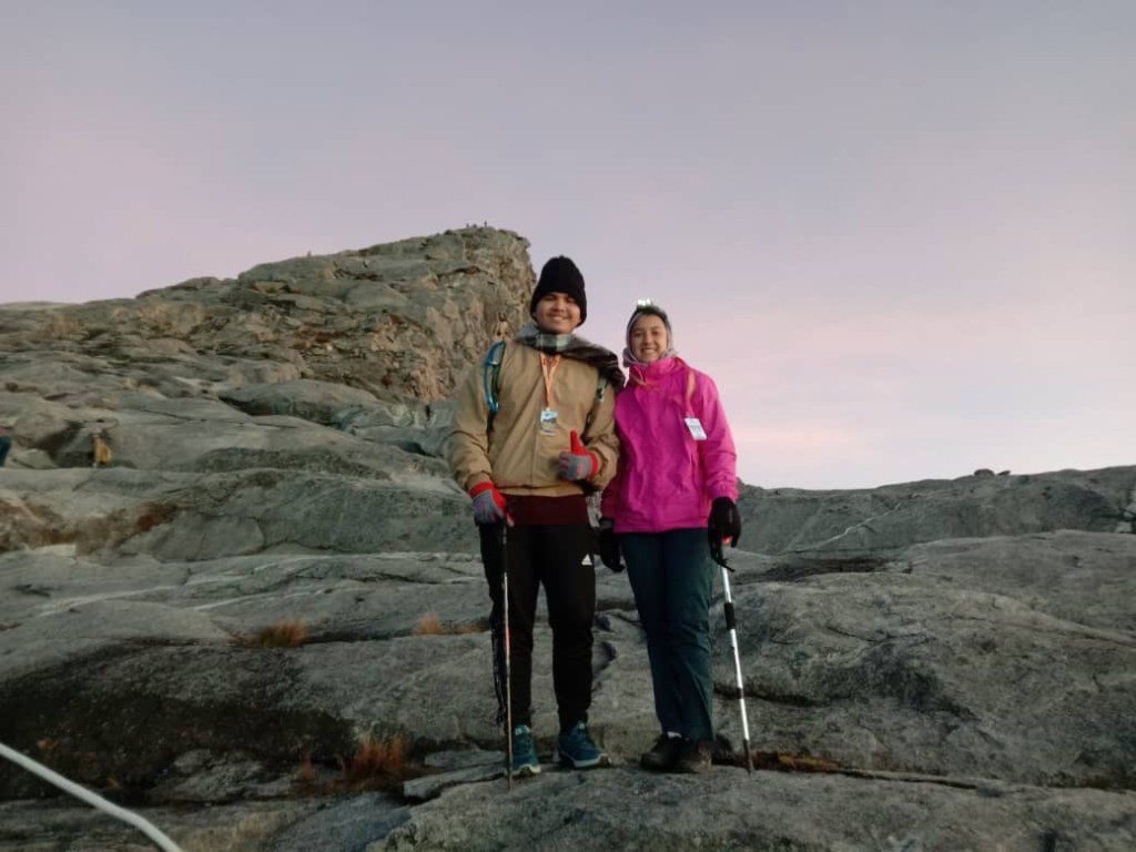
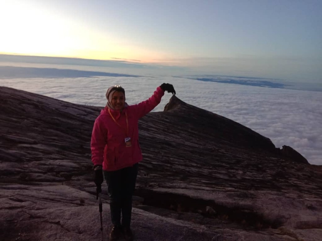
5:30 am: Reached peak
We were the first of our group to reach Low’s Peak. When we got there, there was already a long queue for photos at the signboard. Of course, we had to queue. Once we had our photos taken, we waited for the rest of our friends. Mind you, it was super windy and freezing, and we thought we could find shelter in between boulders while waiting for the rest of the group. However, after 30 minutes of waiting, we could not stay any longer so we decided to descend.
6:00 am: Descend
8:00 am: Reached Panalaban
We were the earliest to reach back to our dorms. So, while waiting for the rest, we packed our stuffs, and managed to sleep for an hour and a half.
9:30 am: Breakfast 🥞
10 am: Start descending
We didn’t take any photos throughout our descend as we were saving batteries. We couldn’t charge our electronics in the dorm as electricity for our dormitory was only available after 12:00 pm.
1:30 pm: Reached Timpohon gate
6:00 pm: Dinner
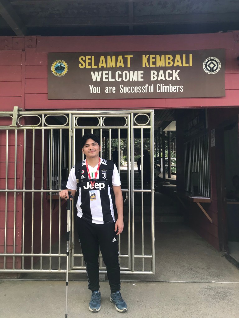
Our certificate giving ceremony was held during dinner at Restoran Panataran. We took pictures afterwards and bid goodbye to our friends.
Honestly, we had such an amazing time hiking Mt K, especially with the help of En Jaffri, and the local guides. Everyone else on the trip were really nice too. Everything went smooth for us, Alhamdulillah. We managed to get to the peak and back safely without any injuries.
Our tip is that you follow the rules and regulations of the park. Be respectful of the surrounding and only mind your own business while hiking. Have proper training prior to the hike, because trust us, Kinabalu is intense. We were lucky as we have trekked Mt Nuang the week before, so we were both considered very fit for the hike. We also did not struggle with AMS as we were lucky to have summited mountains higher than Kinabalu prior to this. But, training regularly and wearing proper shoes are exceptionally important to avoid you from having cramps.
Overall, Kinabalu was beautiful and worth the struggle. I would recommend anyone with the right amount of fitness to try it and experience it. It’s definitely worth it.
That’s all for now.
Cheers,
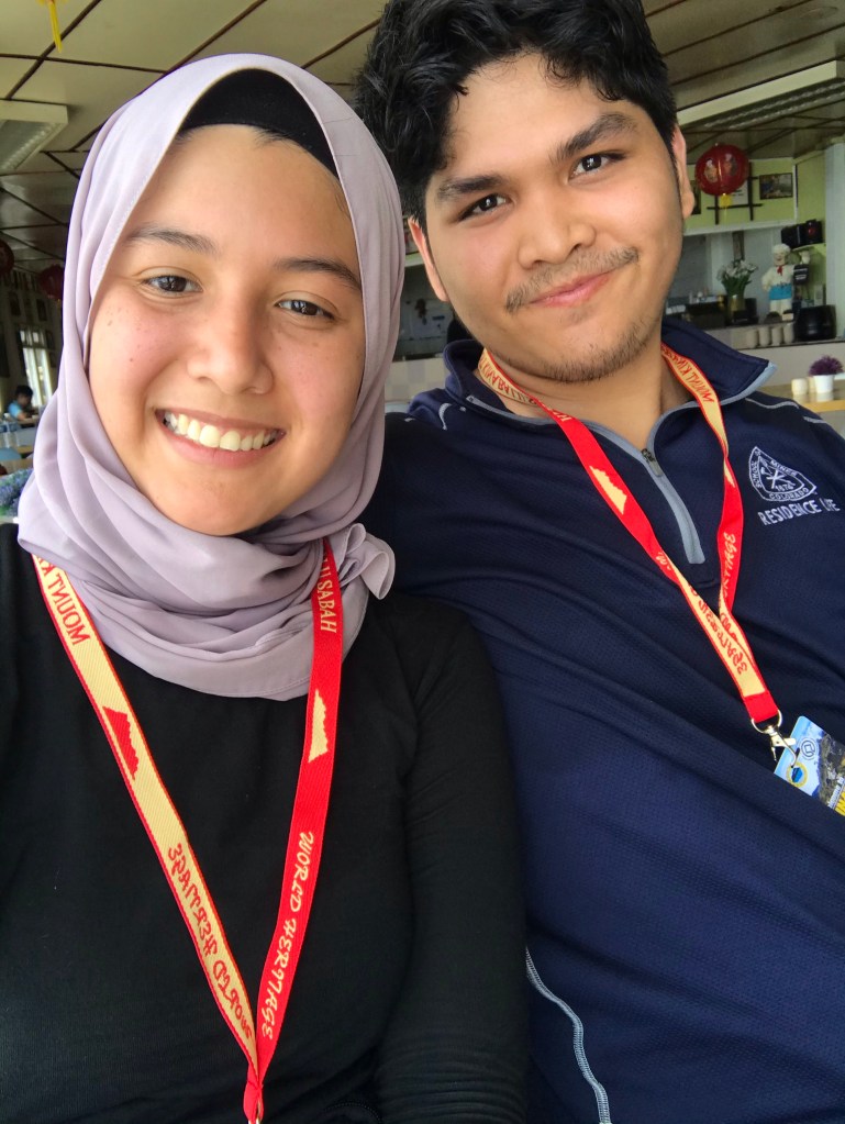
Fahim & Yasmine
