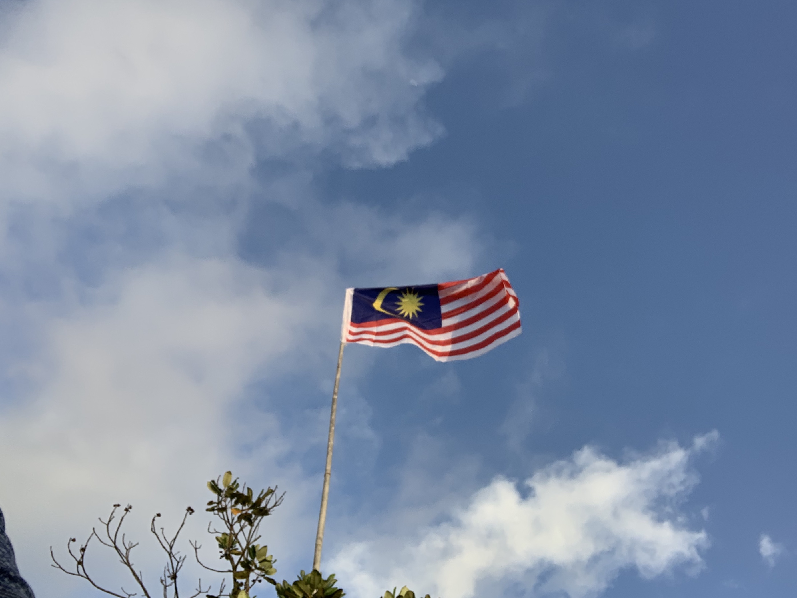
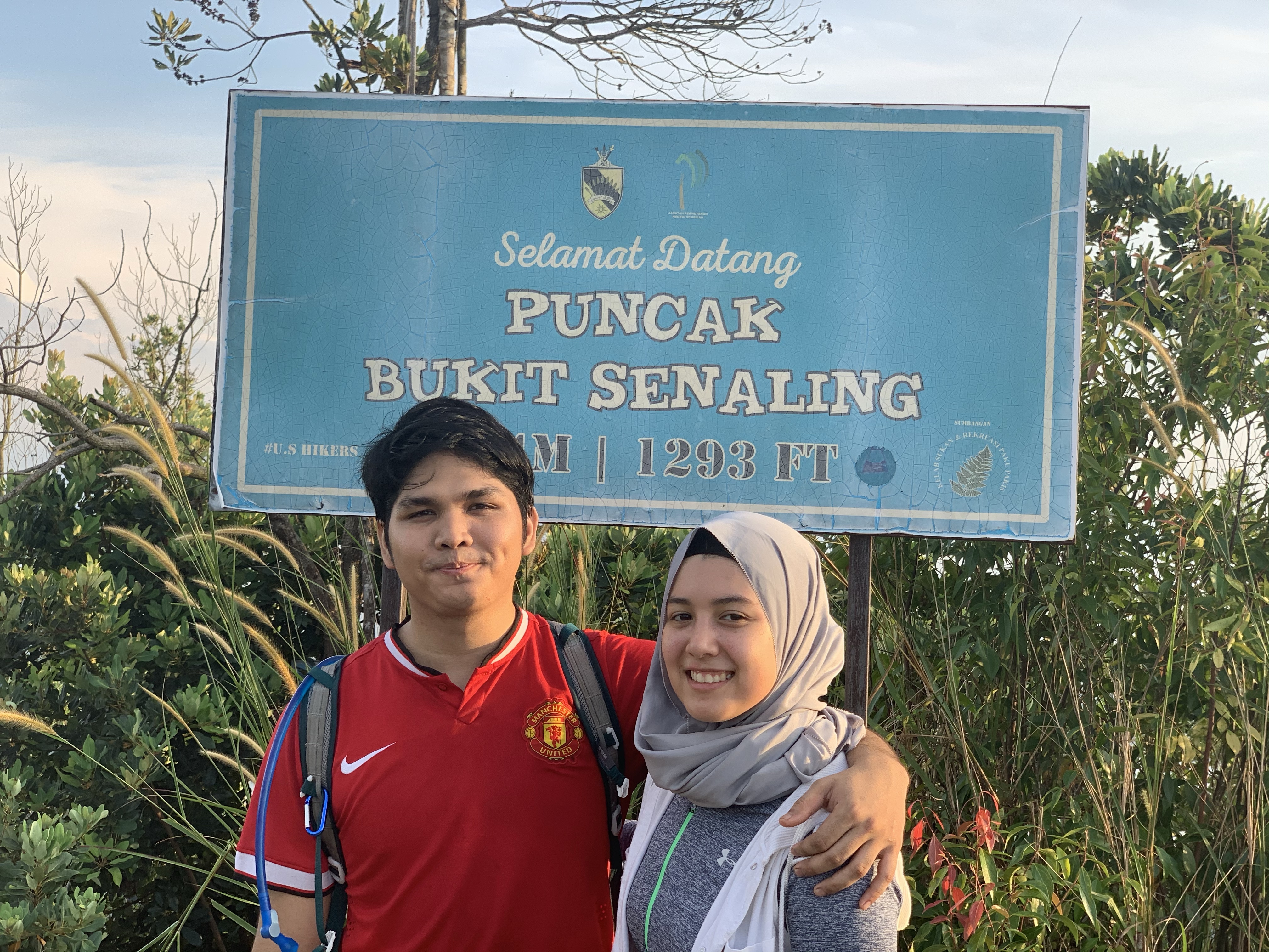
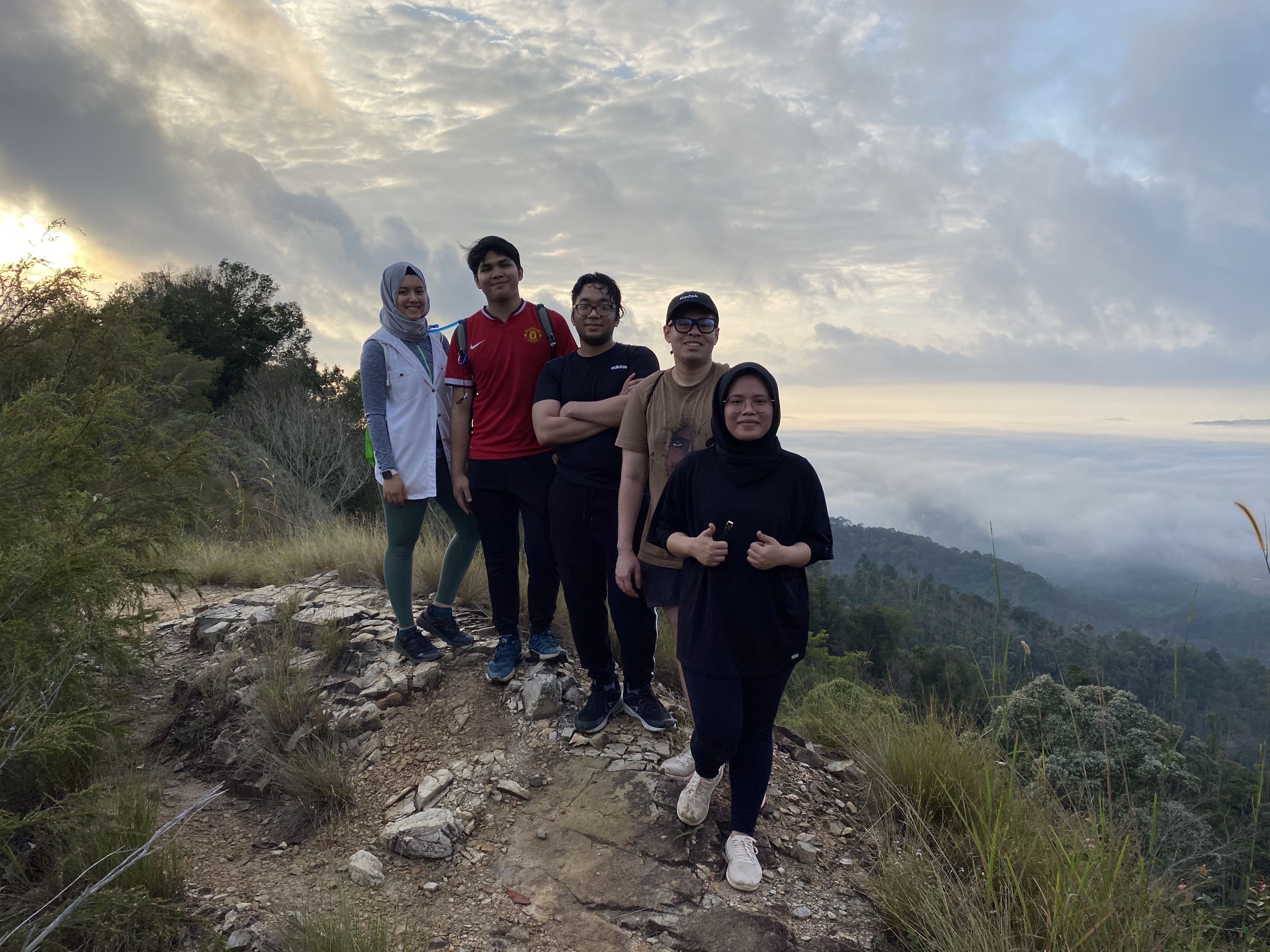
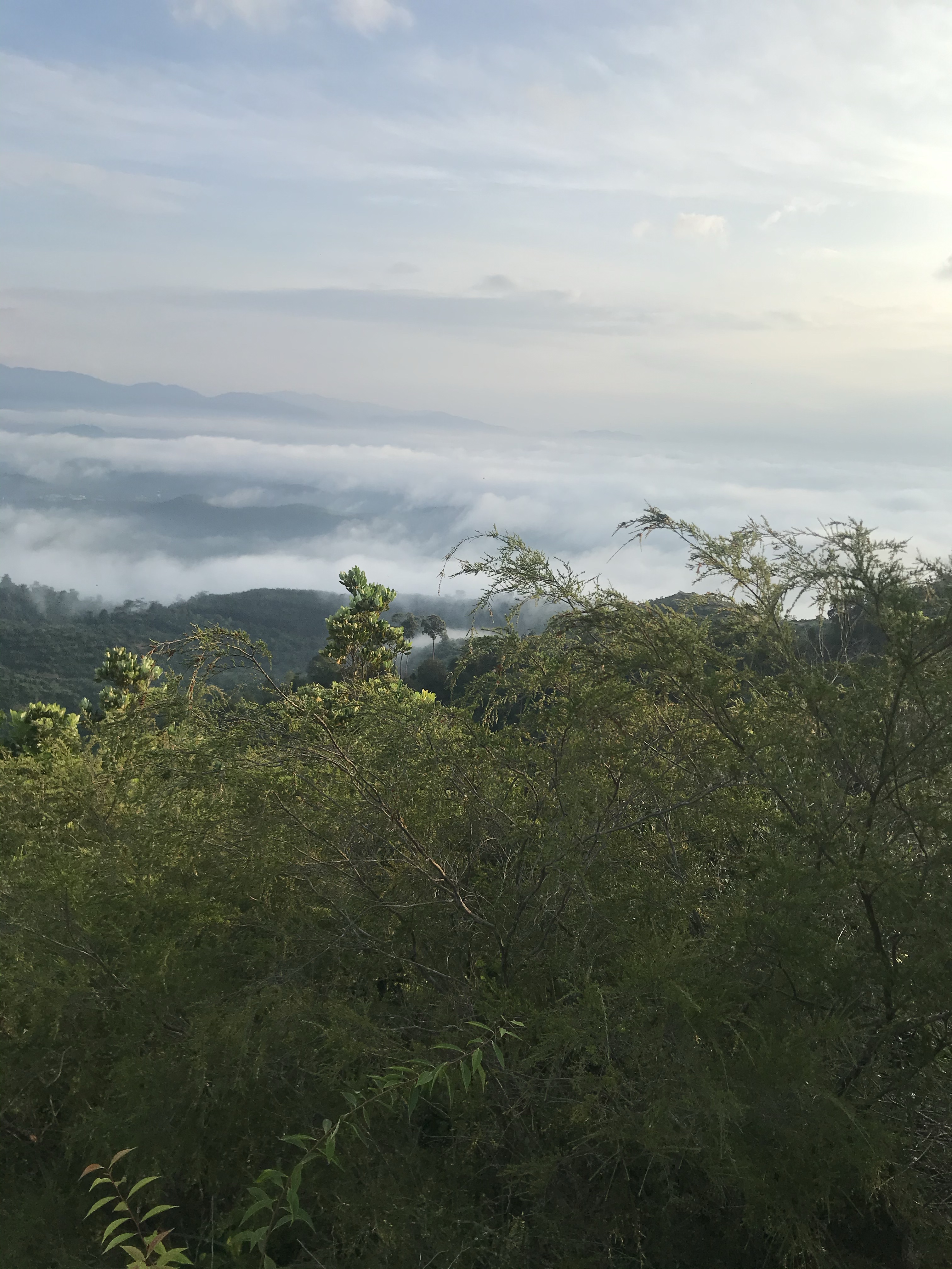
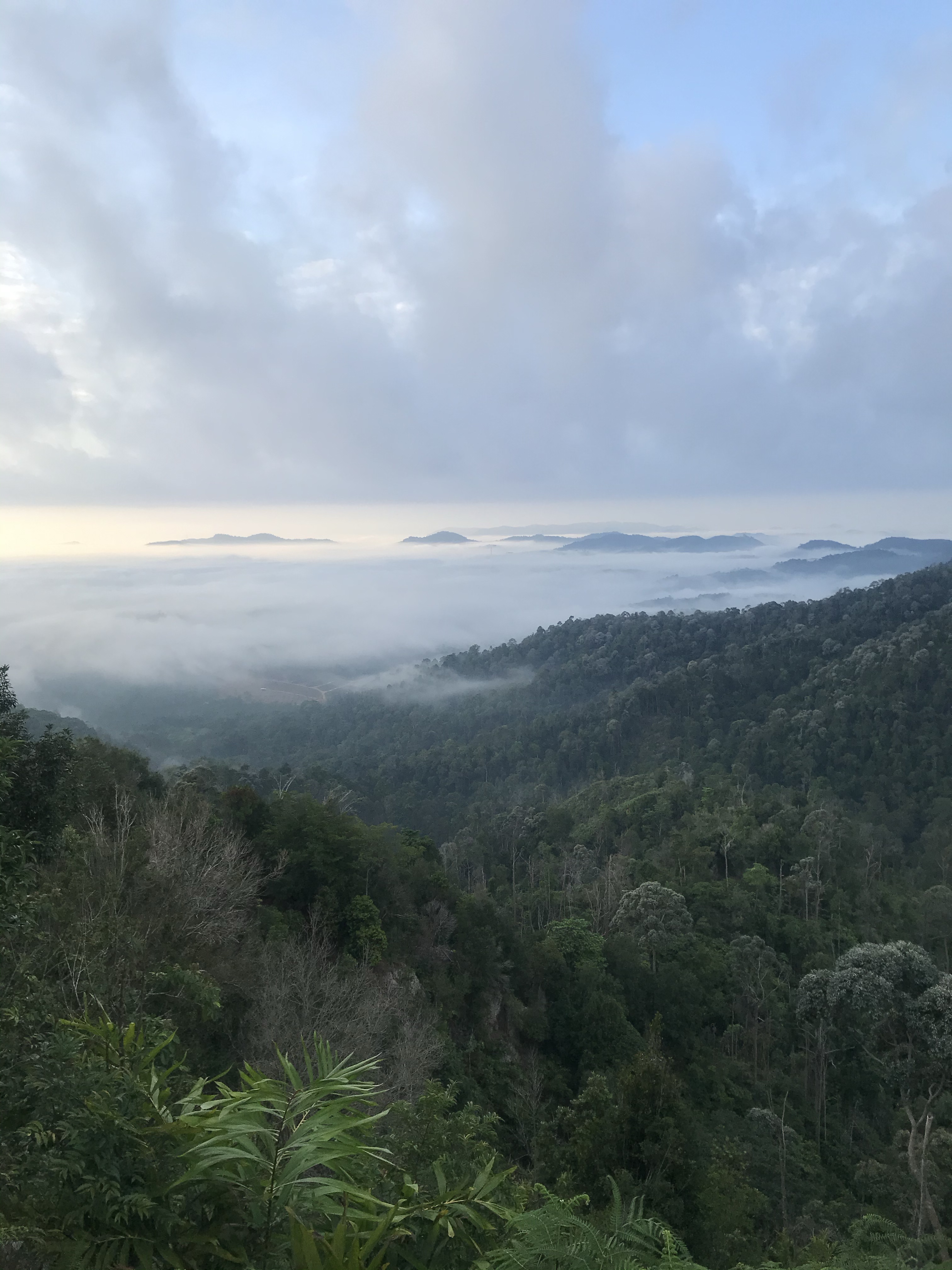
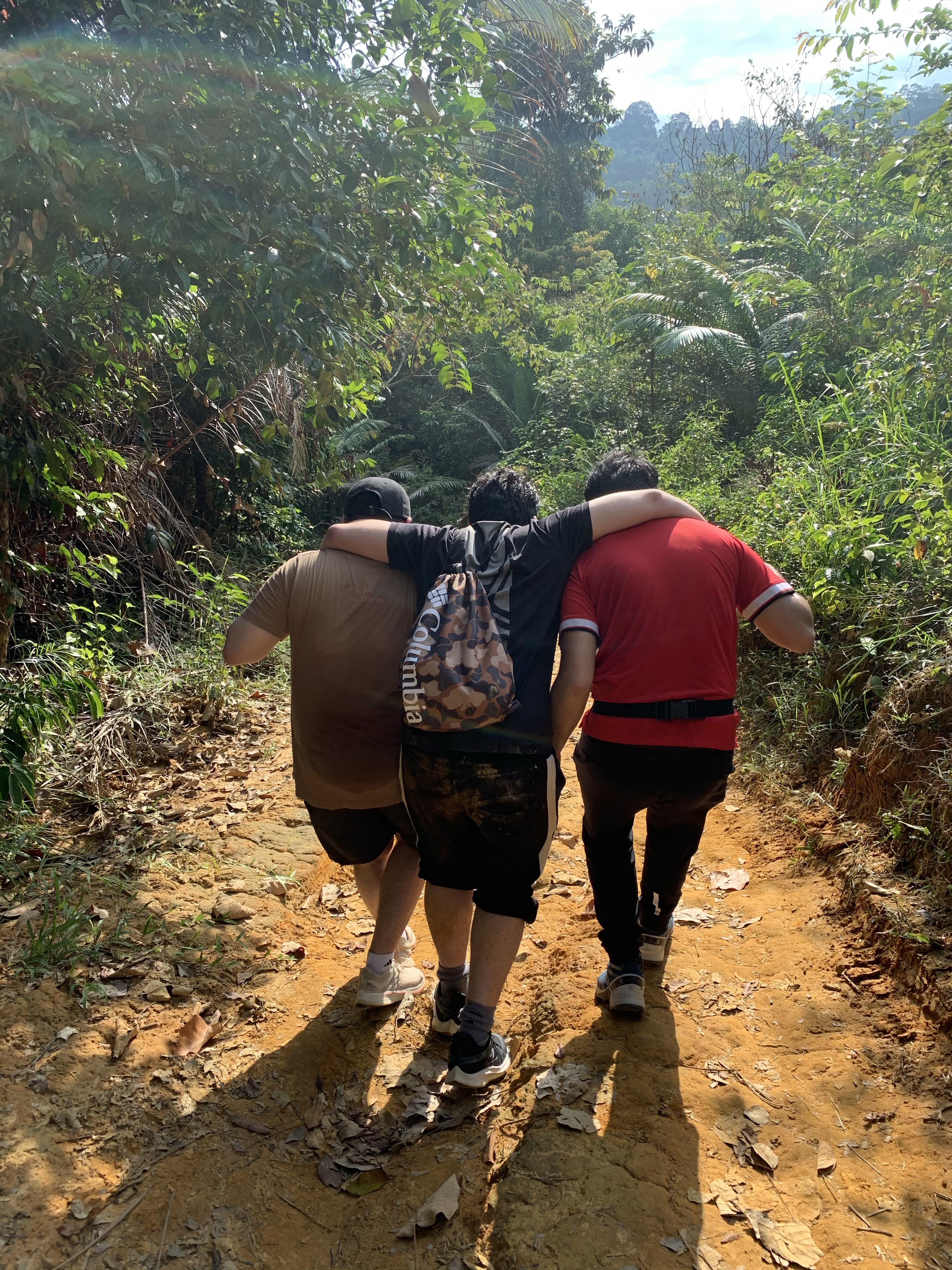
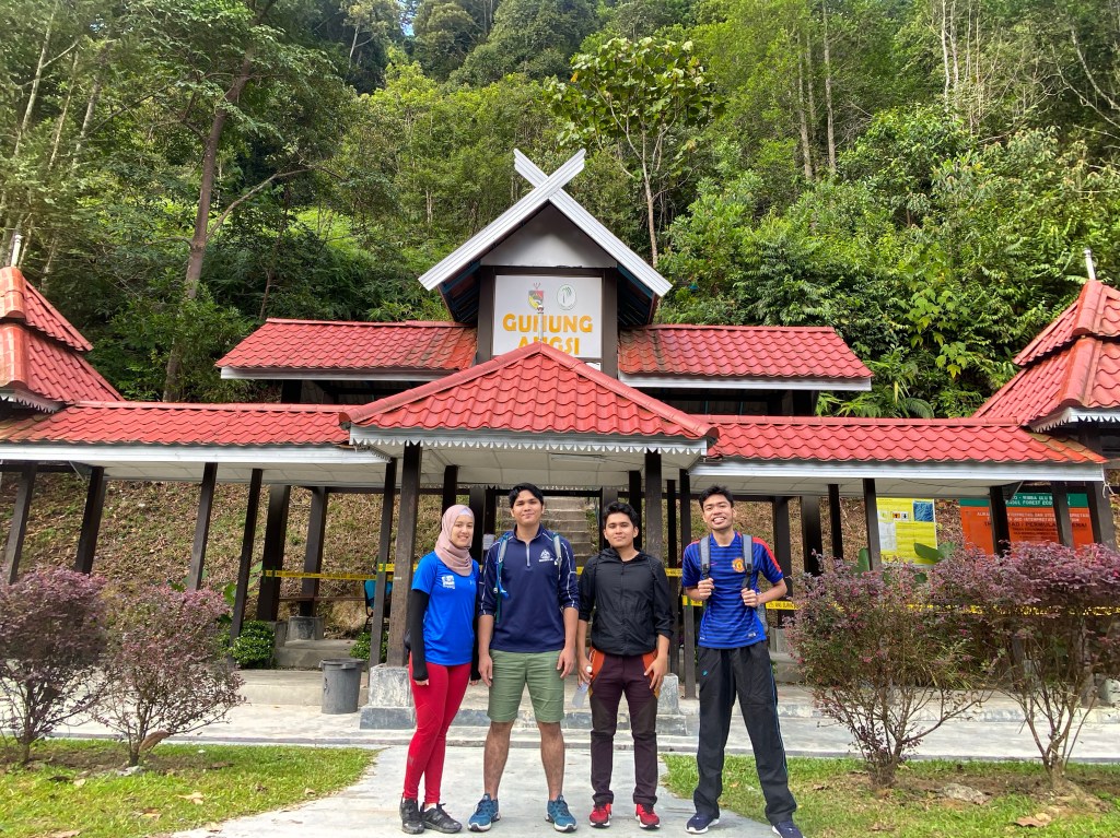
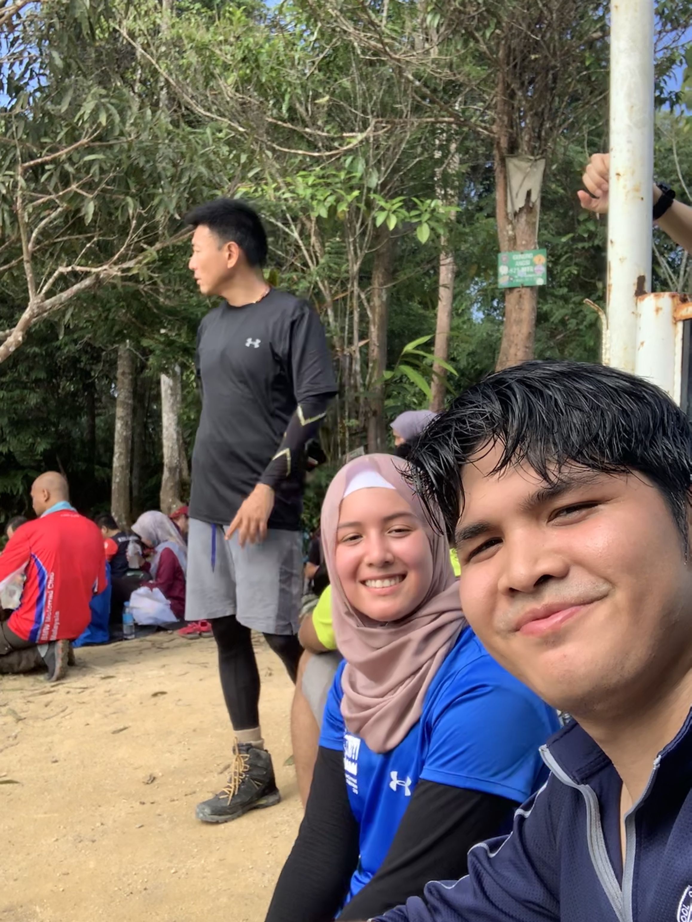
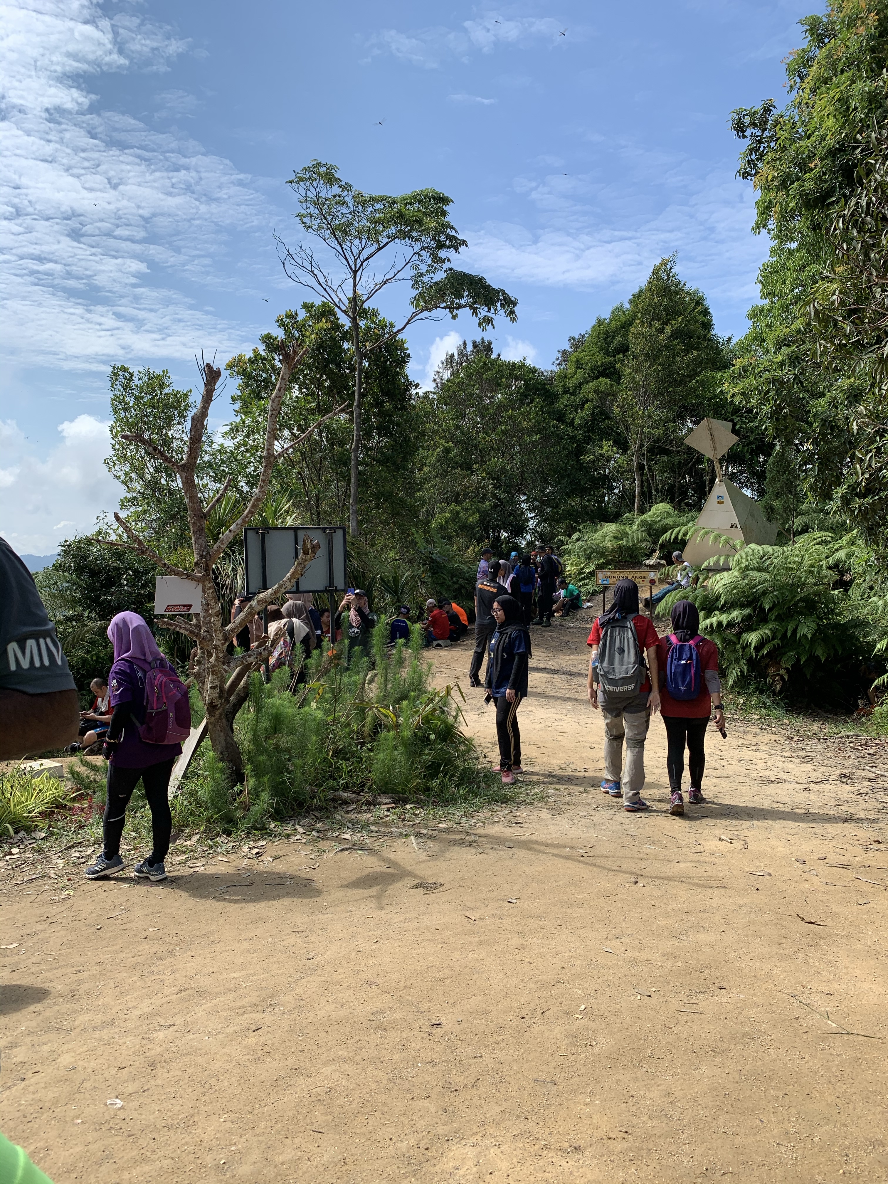
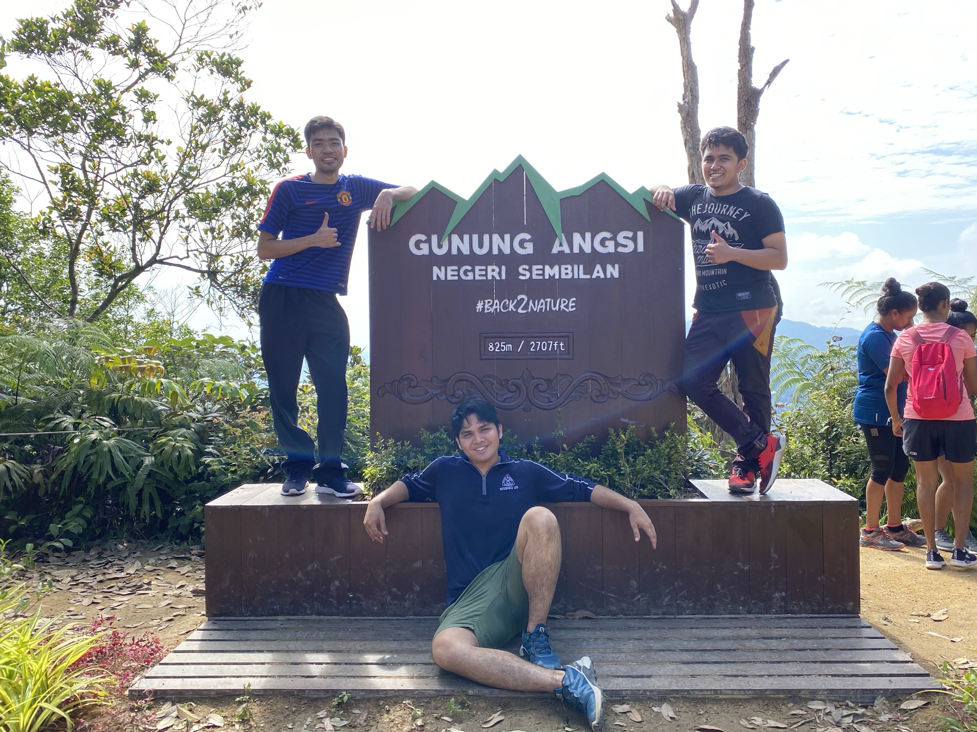
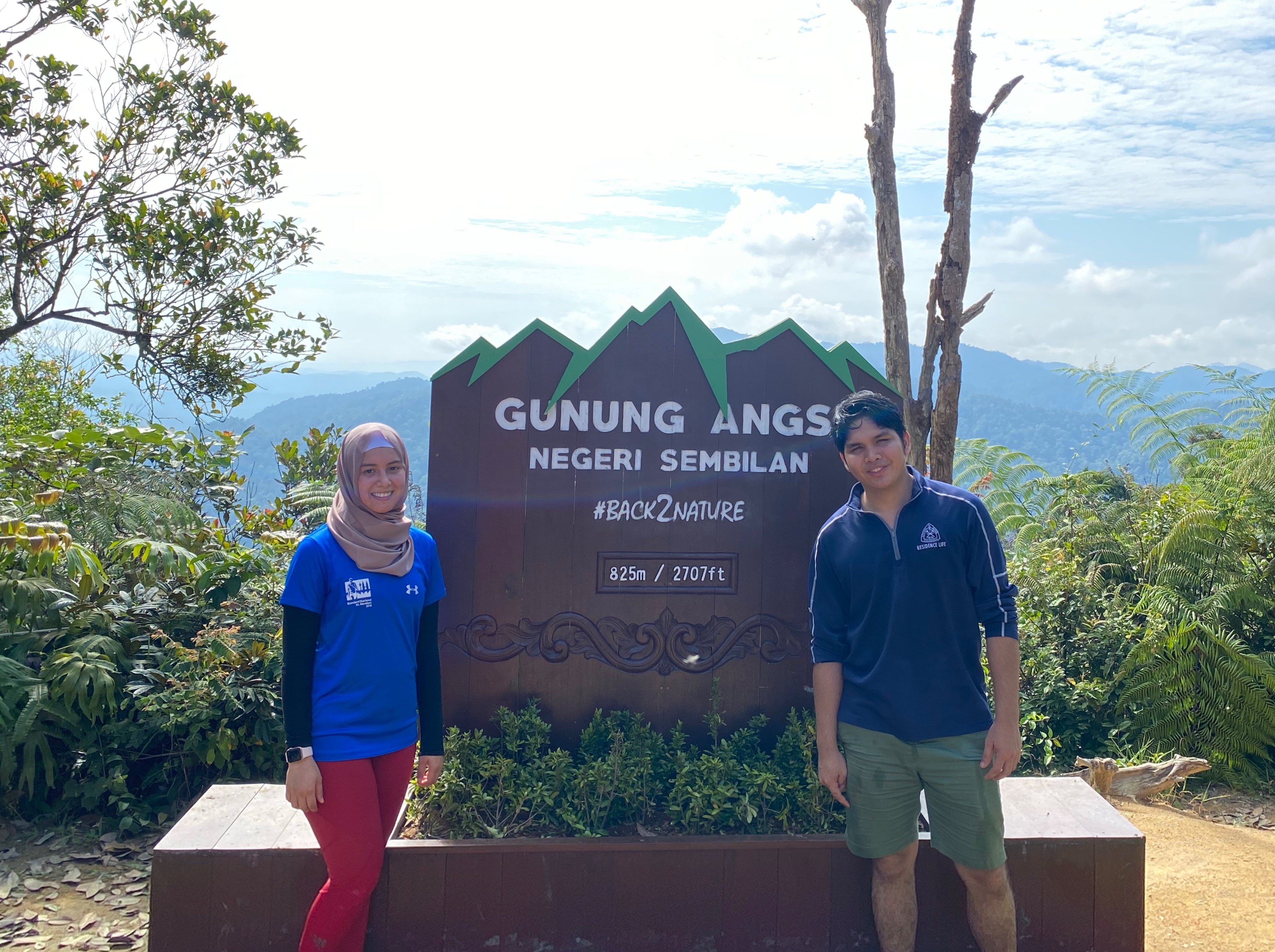
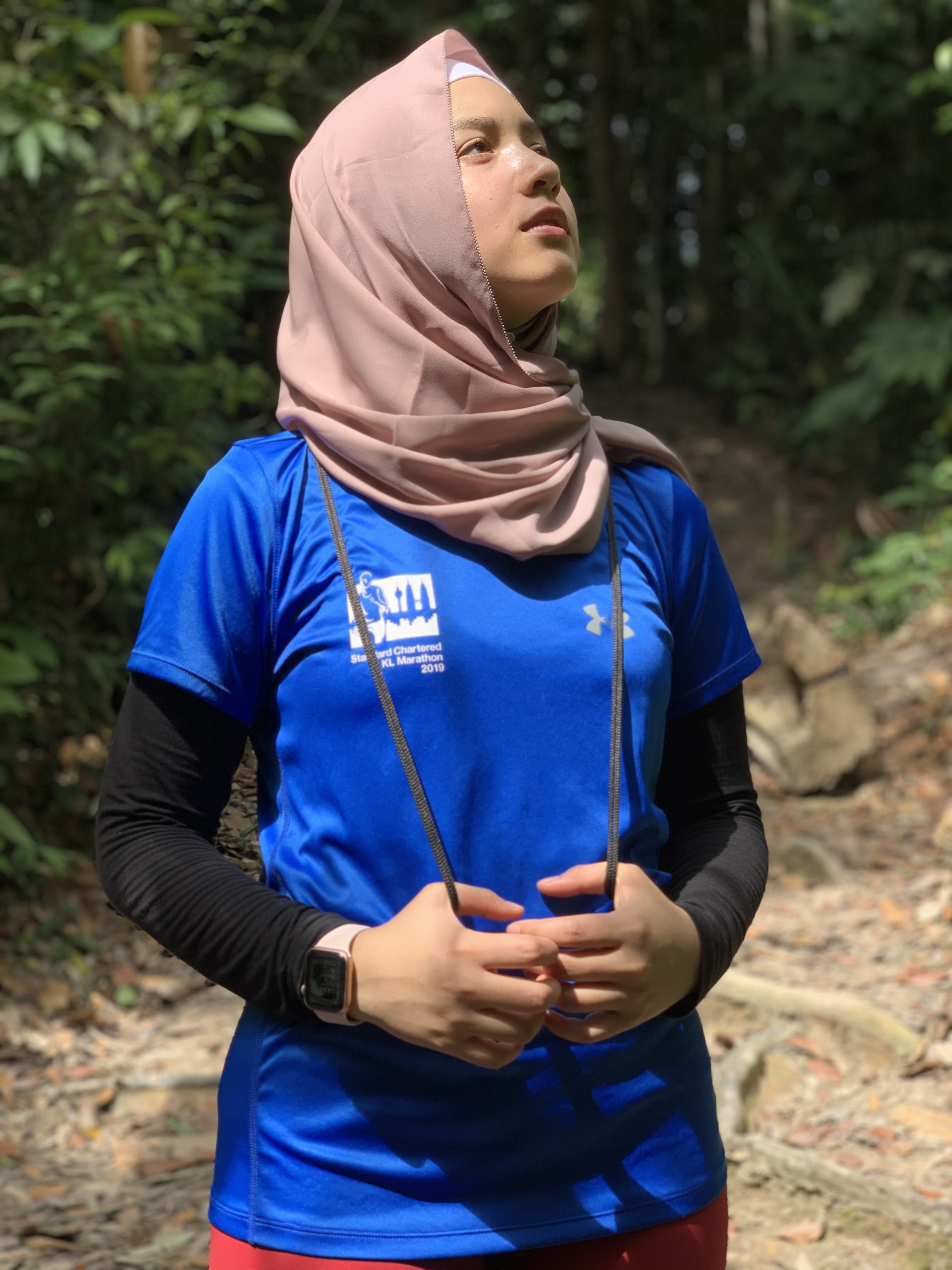
Last Sunday, both of us, joined by our college friends have decided to hike Bukit Senaling of Kuala Pilah, popularly known for her panoramic views above the clouds.
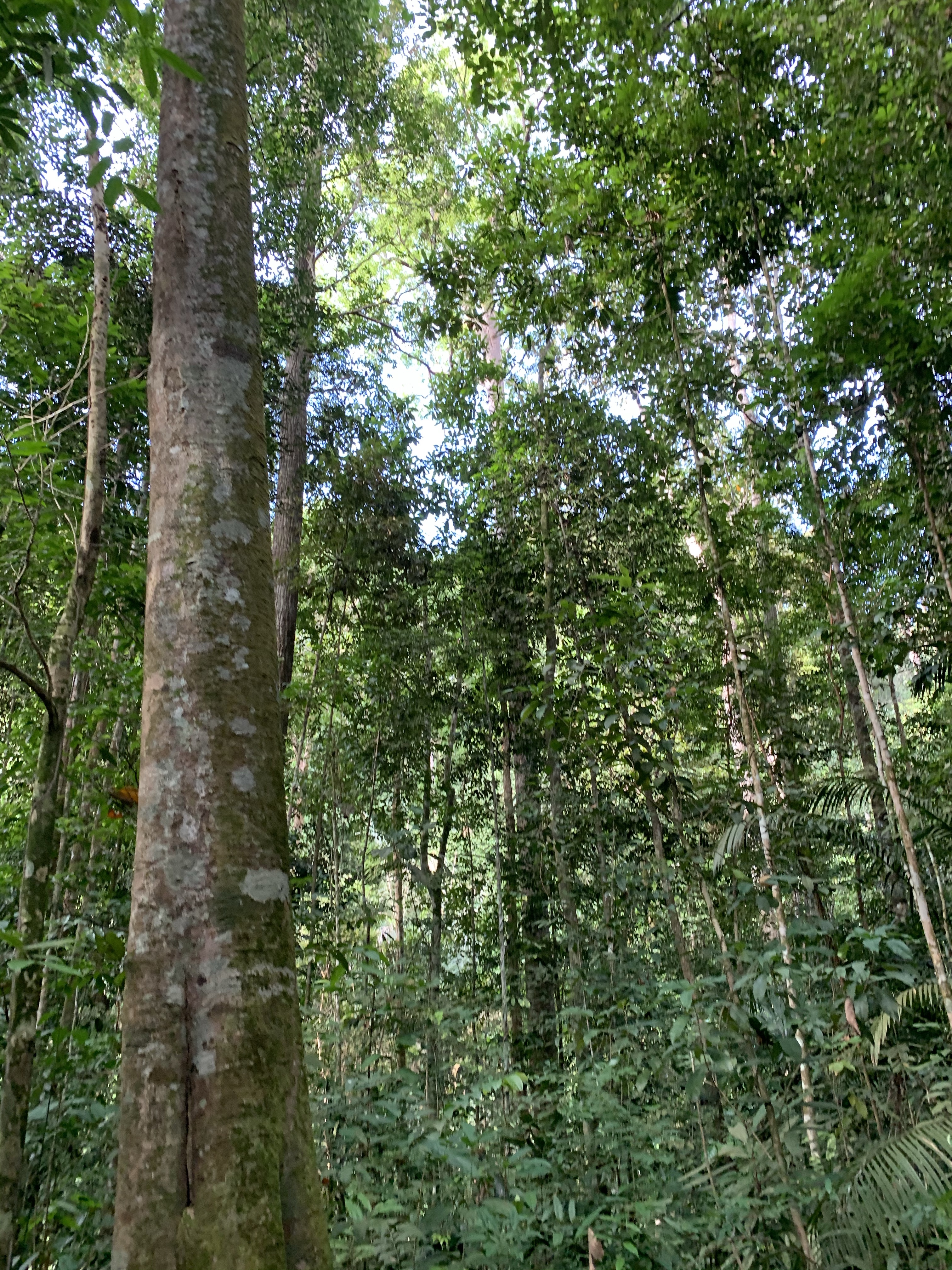
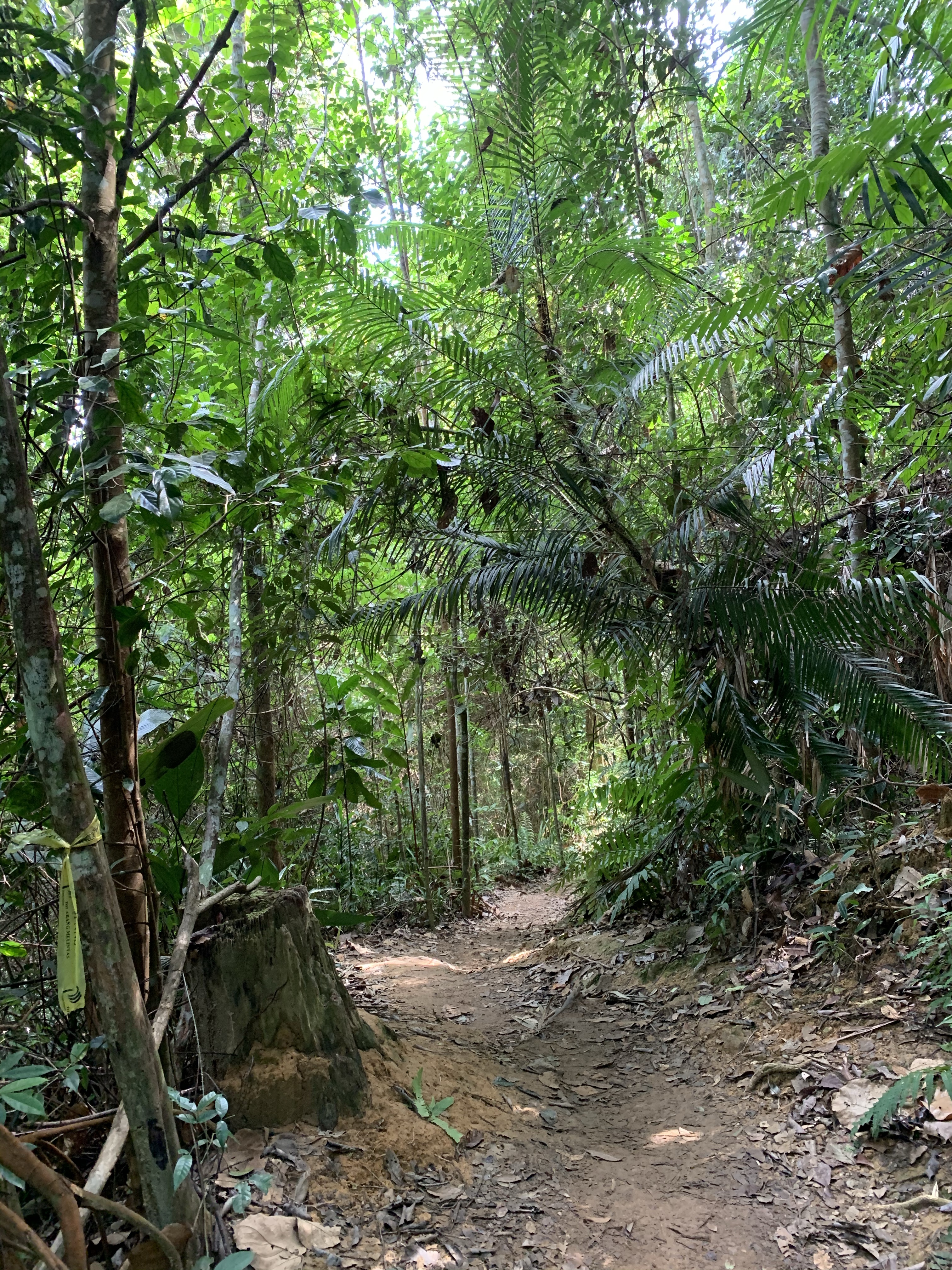
The hike up is a lot less challenging than her neighboring counterparts, namely Gn. Angsi and Datok. The route is less steep and of average distance. However, Senaling offers you a trail through different landscapes and plantations, and personally for us, the best way to learn your topography.
Info:
- Location: Pekan Senaling, Kuala Pilah
- Trailhead coordinate: 2.690491N, 102.264534E
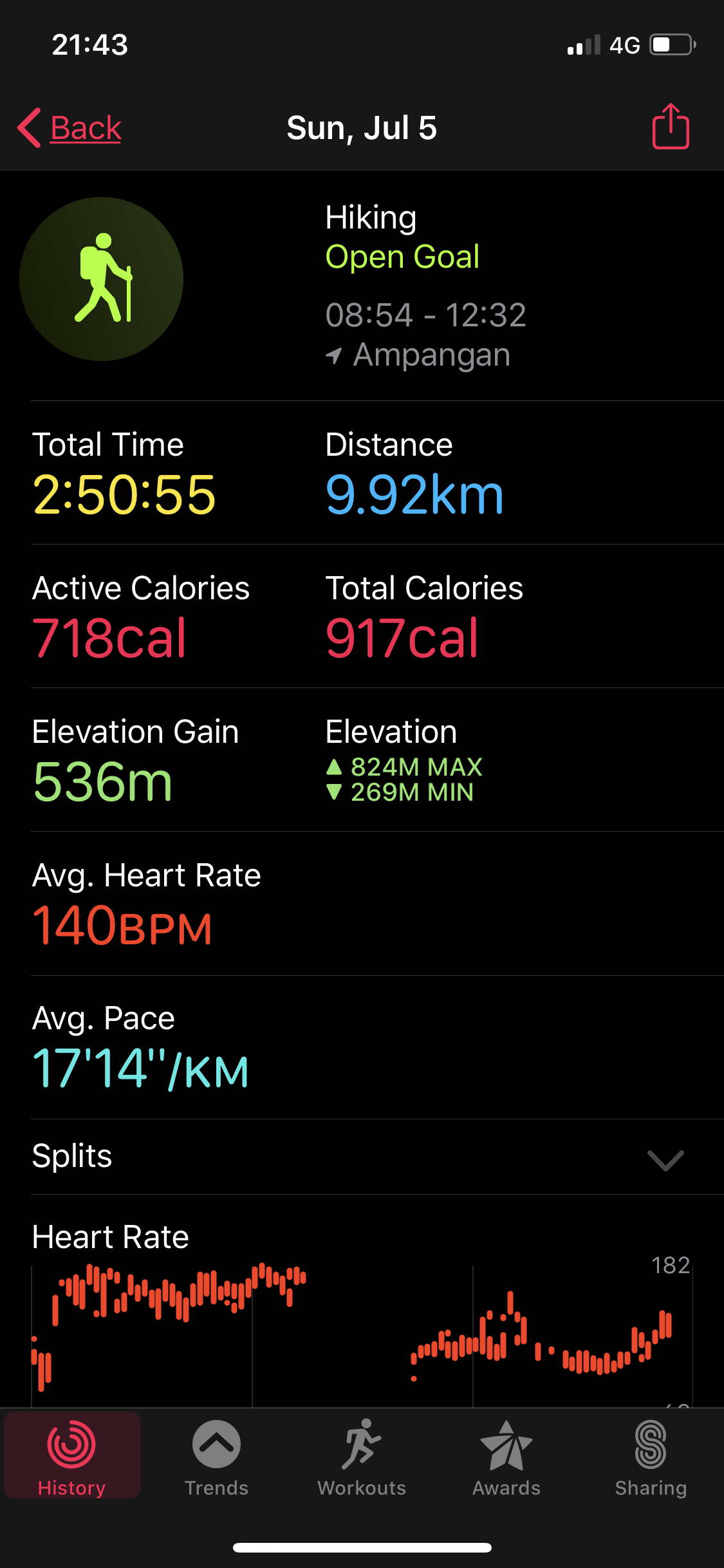
- Summit elevation: 394 meters (1, 293 ft)
- Elevation gain: 341 m
- Distance: 3km one way
- Duration: 45 mins — 1hr one way
- Permit fee: RM15 per head
- Parking: Provided
- Road condition to trailhead: Tar road, thru a residential area. You will park at a designated parking area prepared by the locals, just a walk away from the trailhead.
- Facilities: Surau is provided. Food and drinks available. Toilet is provided.
Trail route:
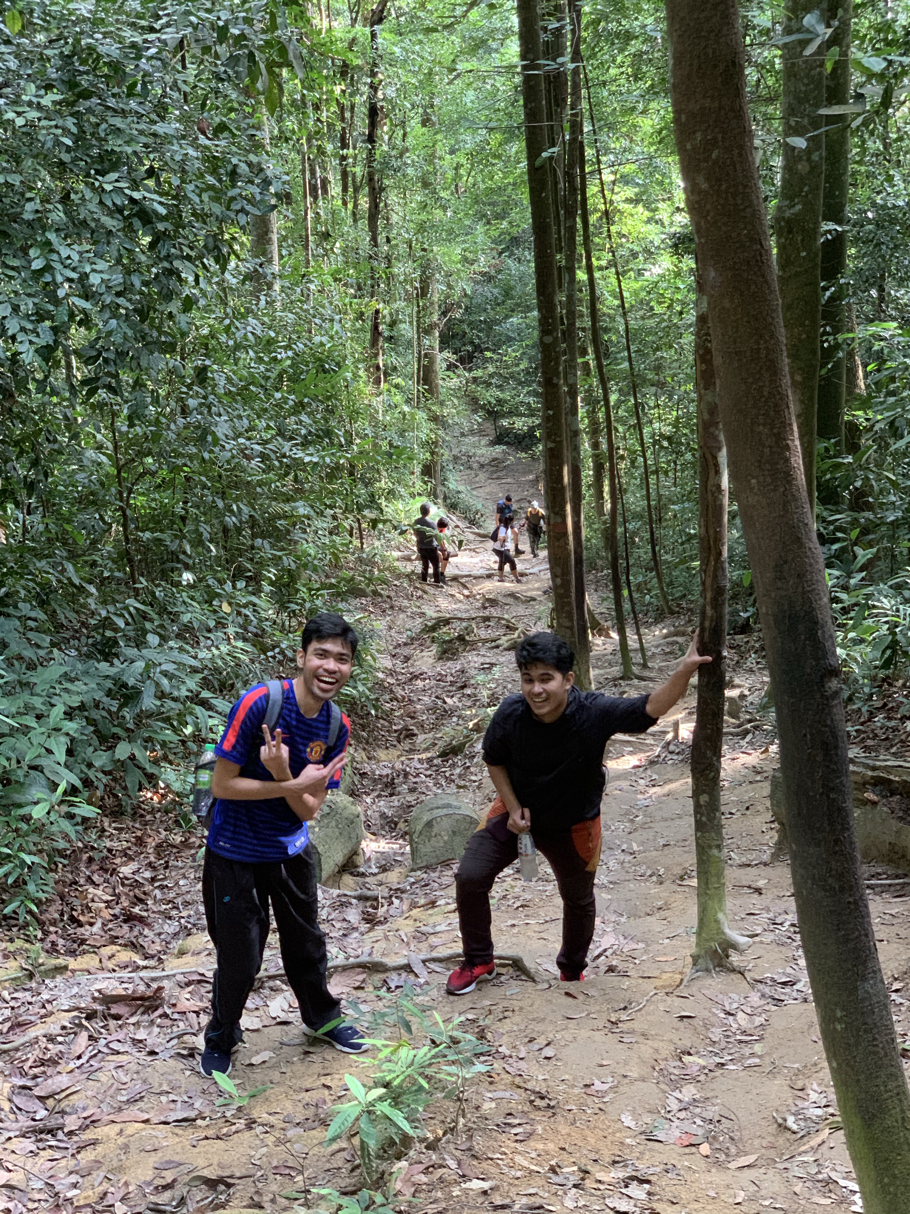
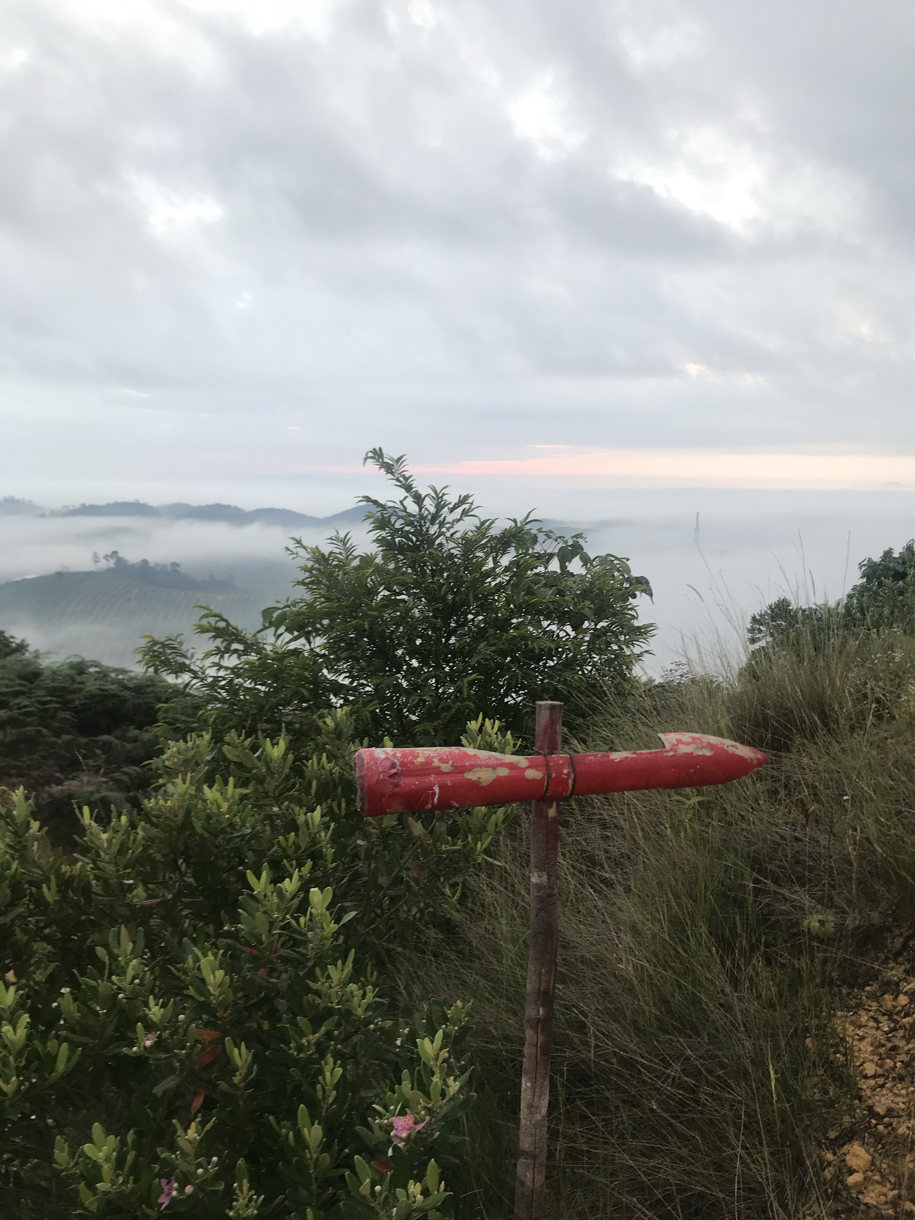
The trail is actually very easy to follow. You will see red arrows at every 0.5 km or so, and follow them exactly (even if you doubt them when its leading you downhill instead of uphill, just follow them).
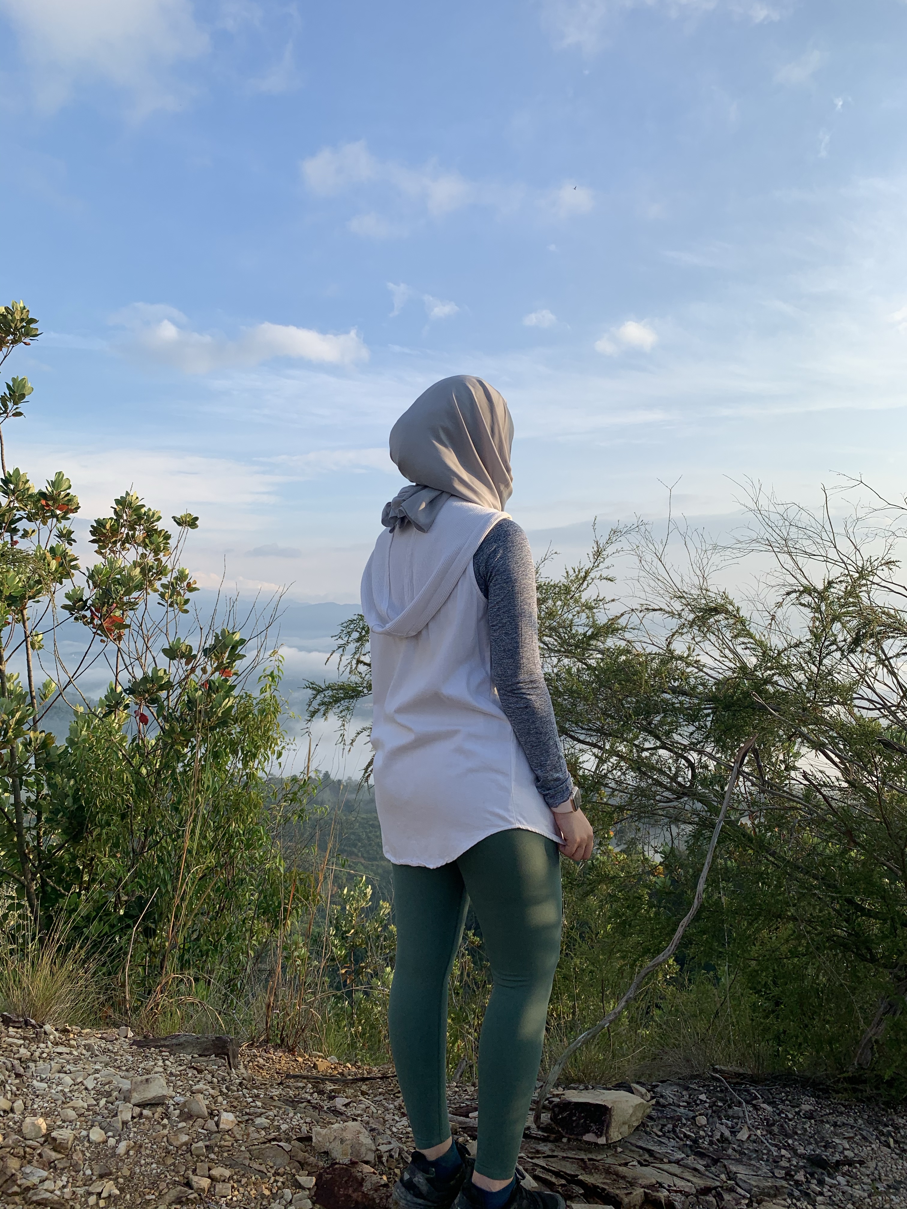
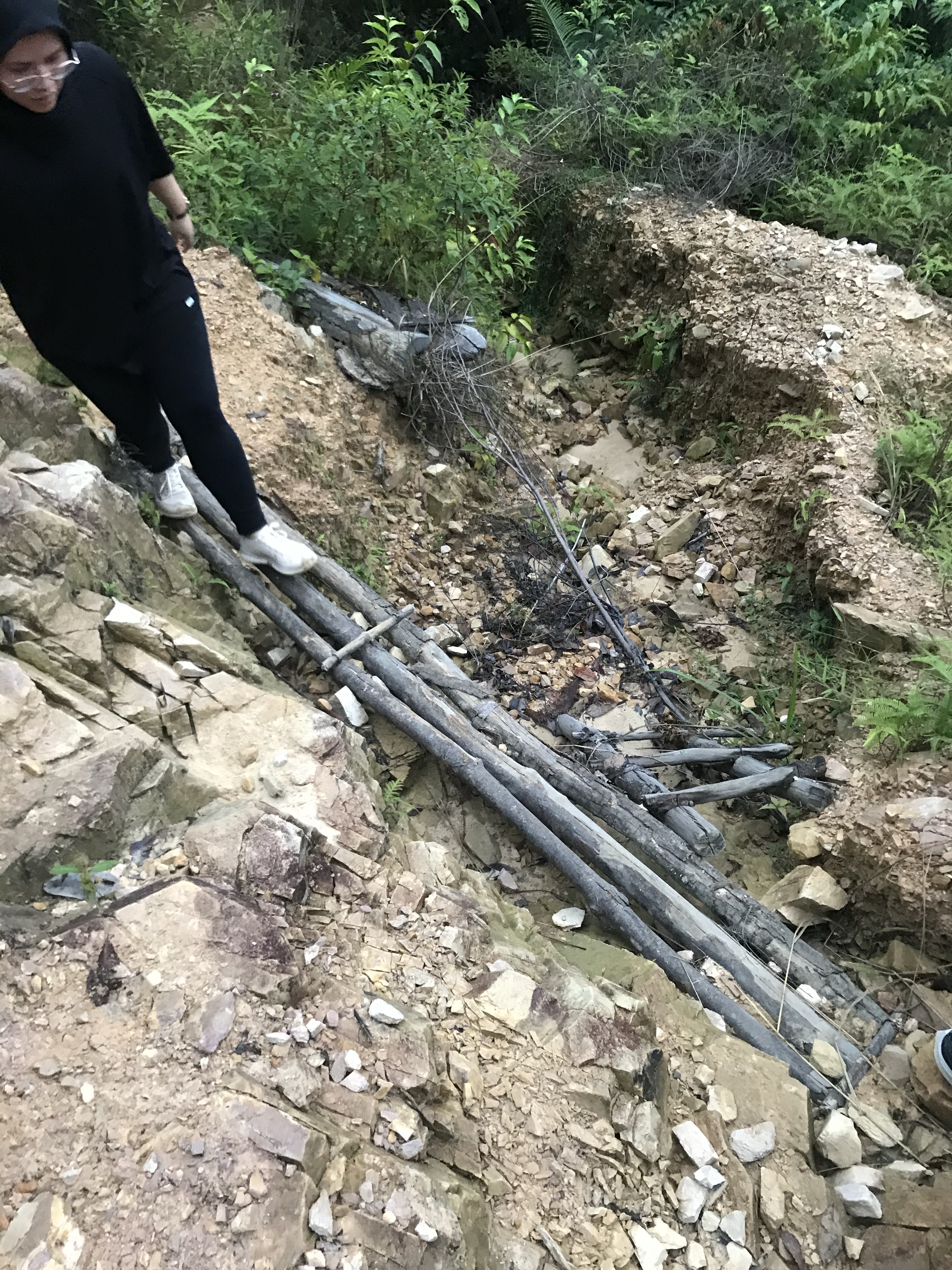
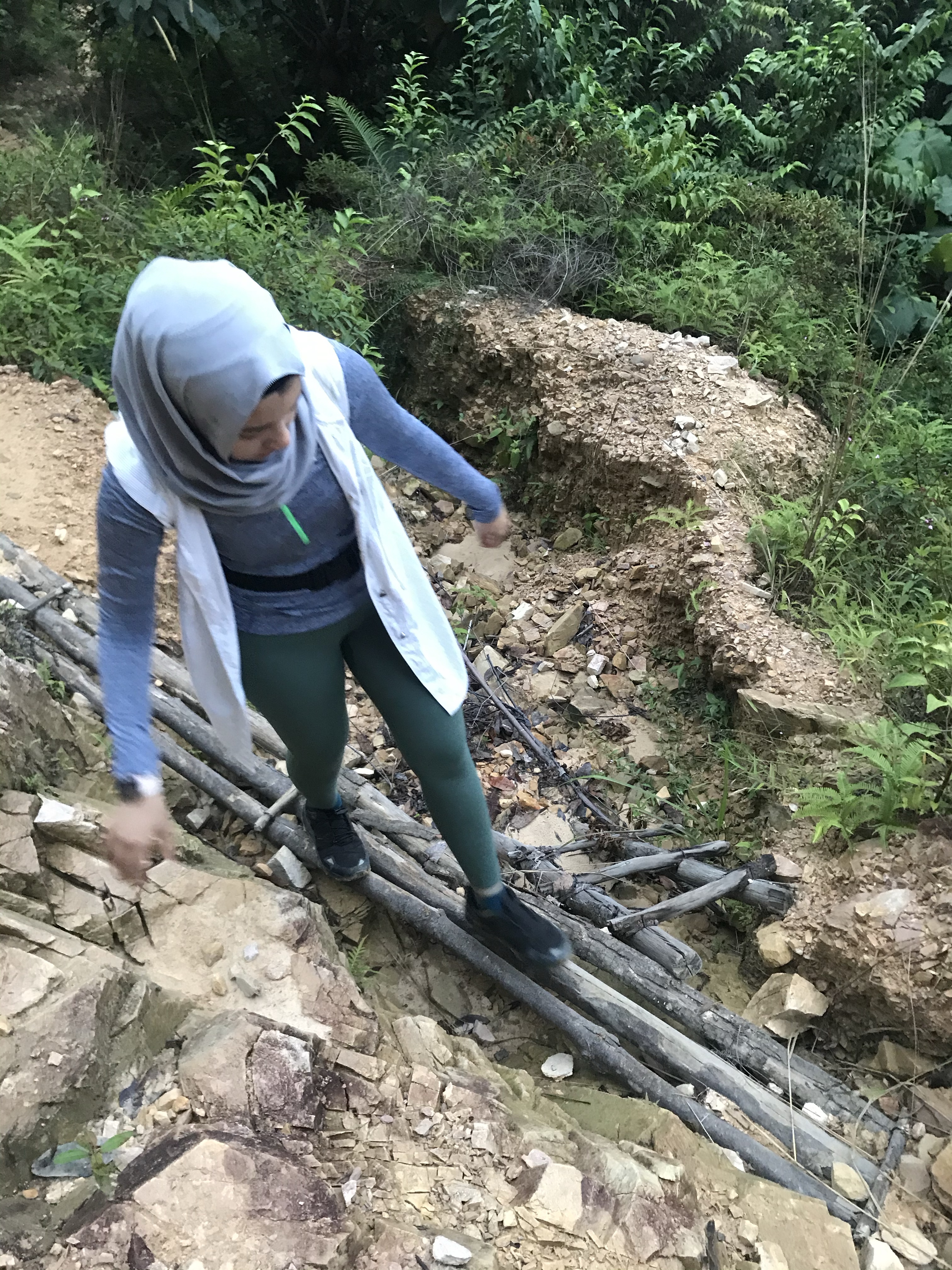
Start of the trail —> walk uphill till you see a pondok (hut) —> rubber plantation —> follow the arrow that leads downhill —> palm tree plantation —> cross a mini creek (anak sungai) —> trek uphill which you may now observe the clouds engulfing the panorama —> steeper trail, going thru an open forest —> wooden staircase —> flat trail (400m) to the panoramic point.
Pics:
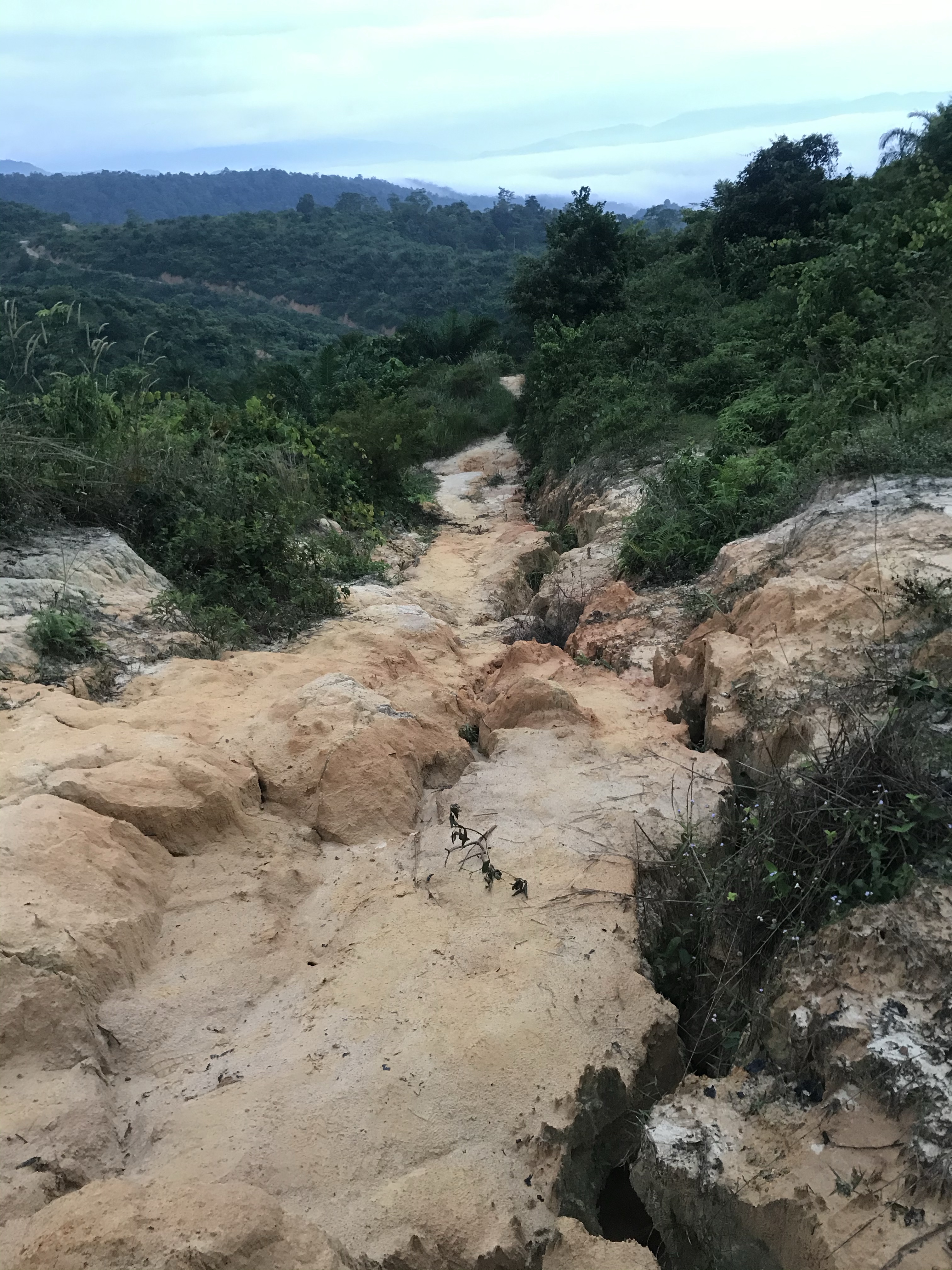
Dry, rocky trek most of the way. 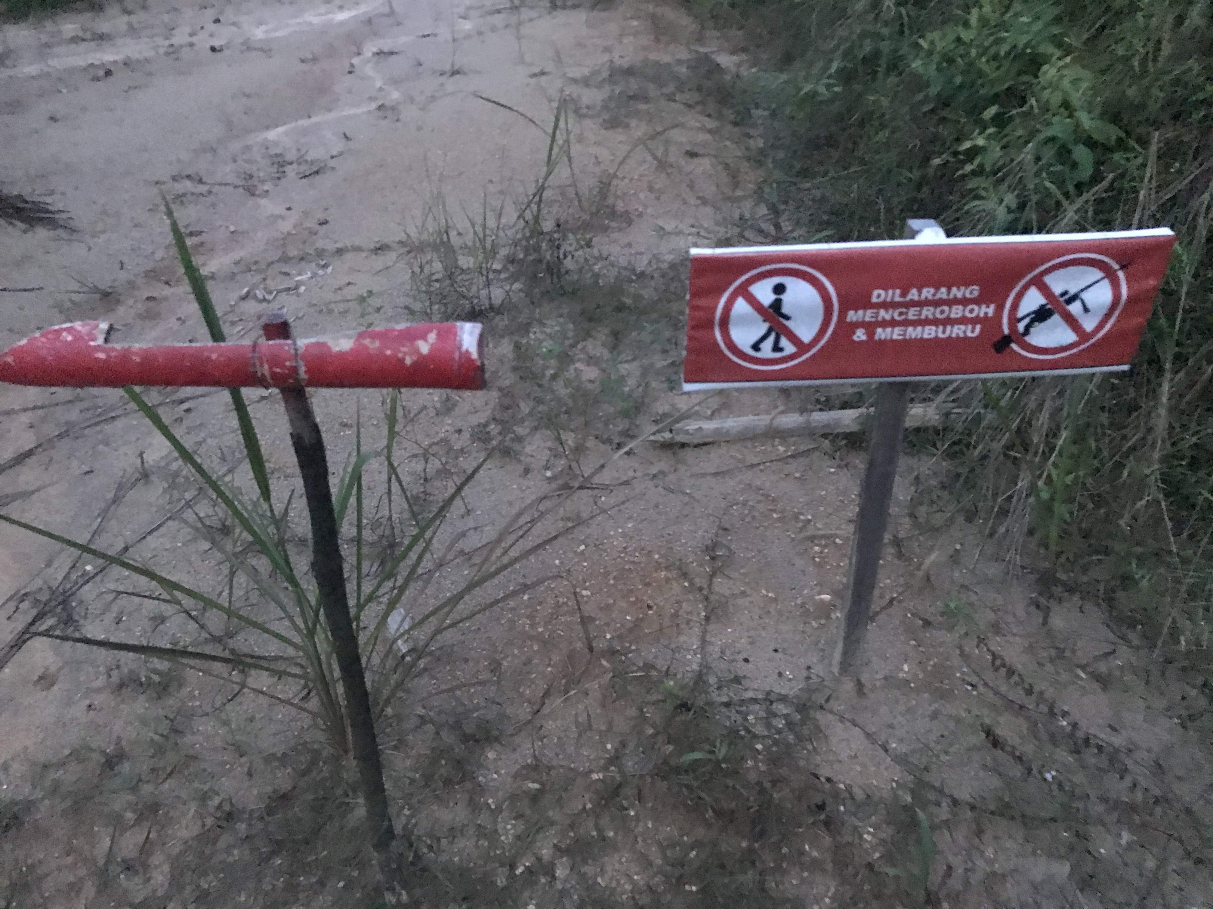
Follow the red arrow 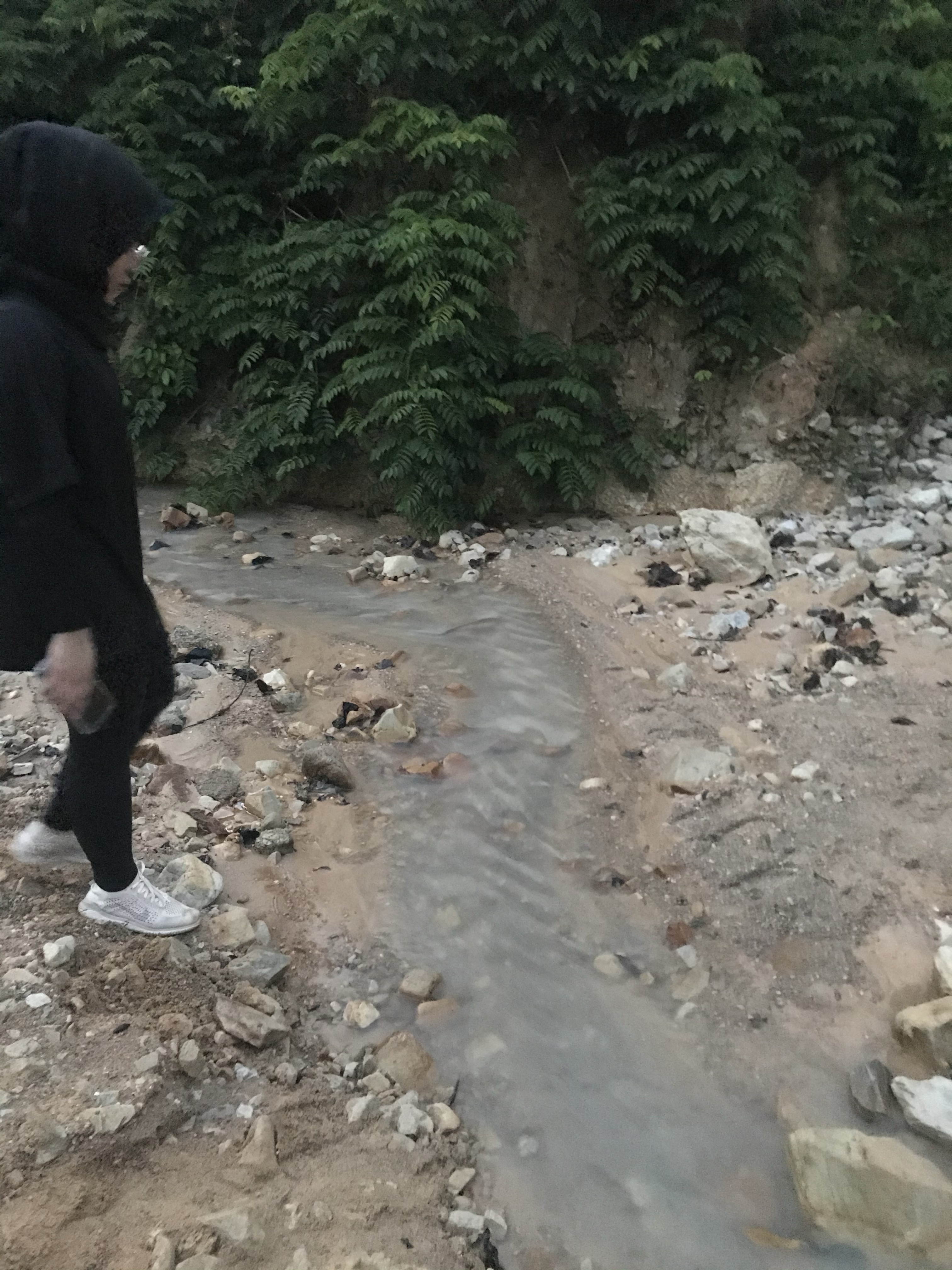
Mini creek at halfway point 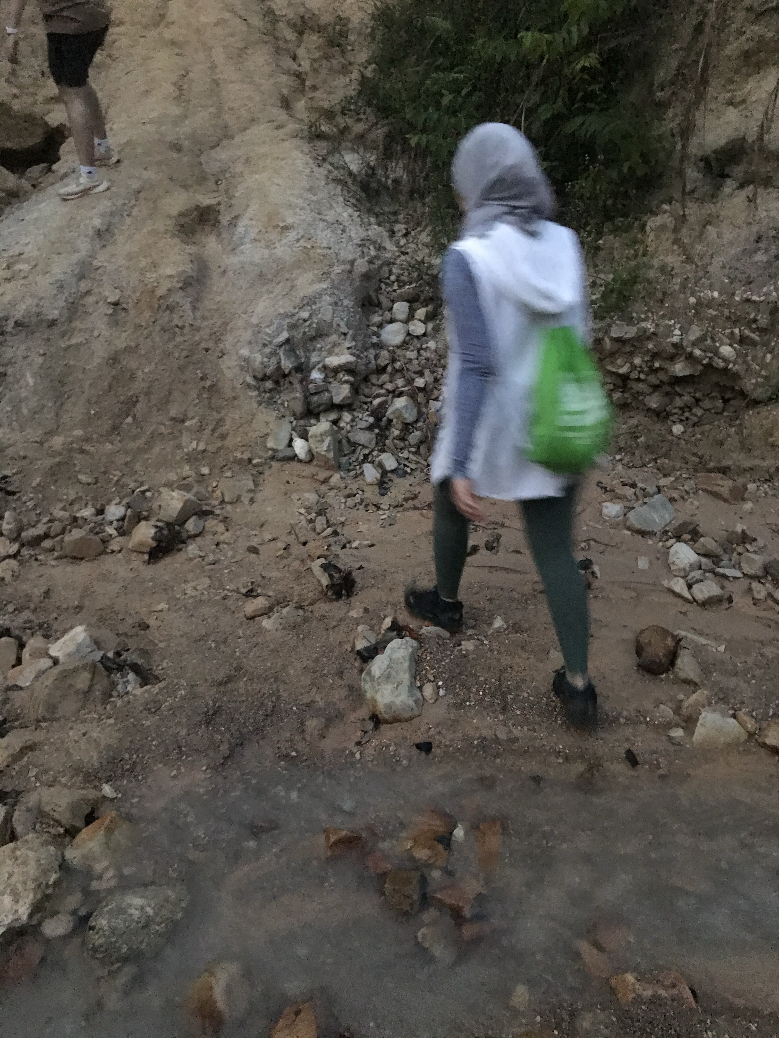
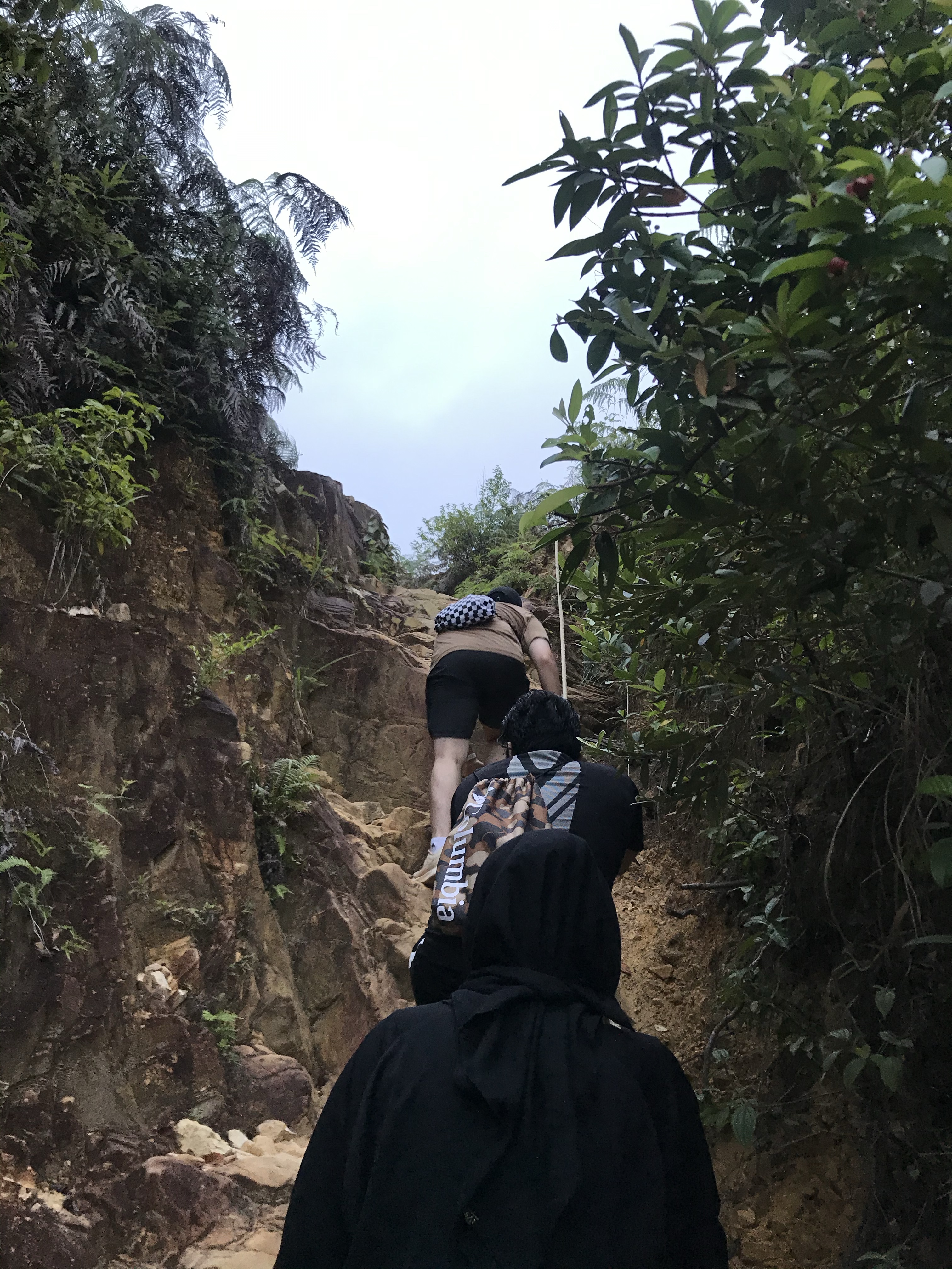
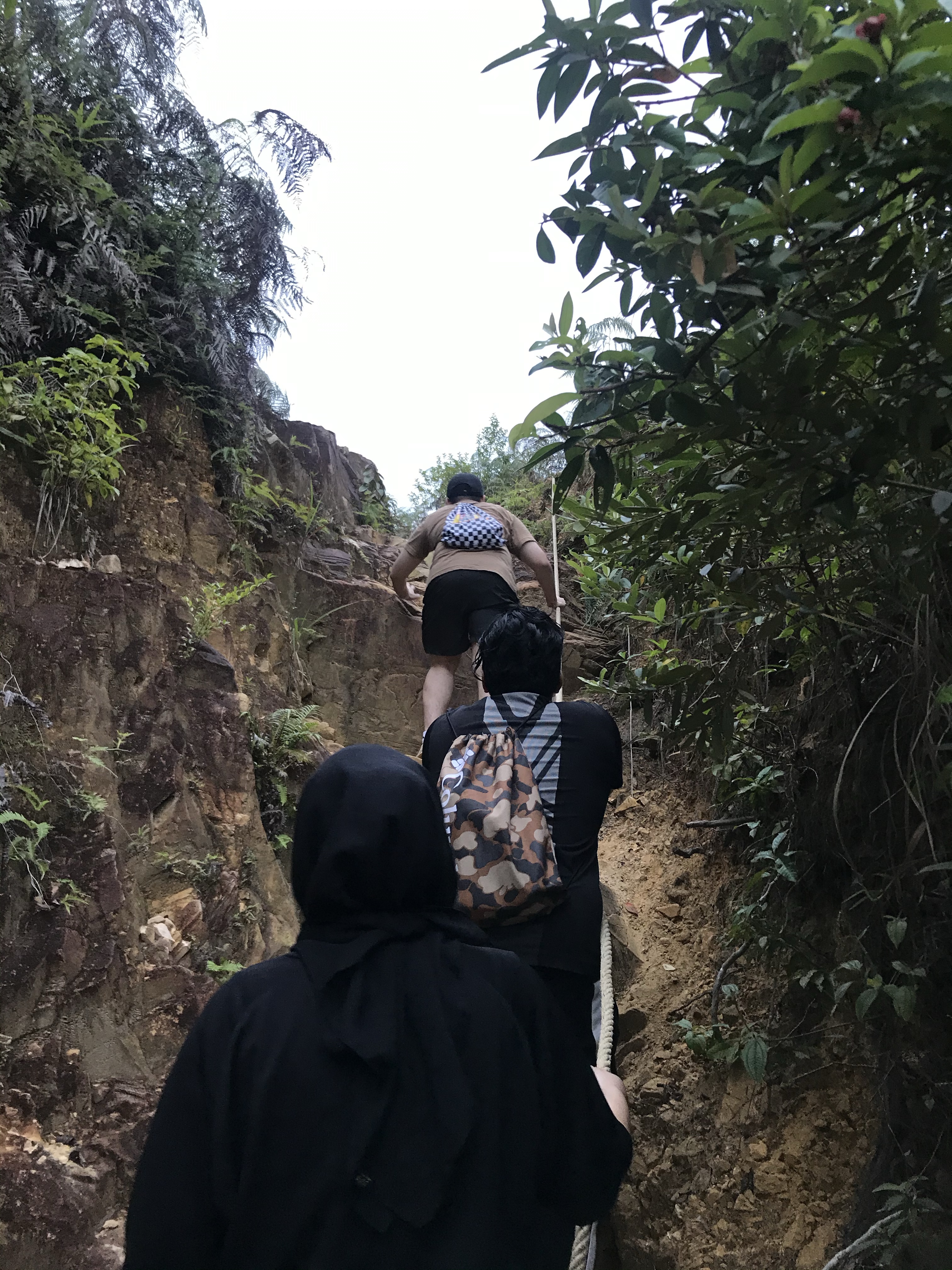
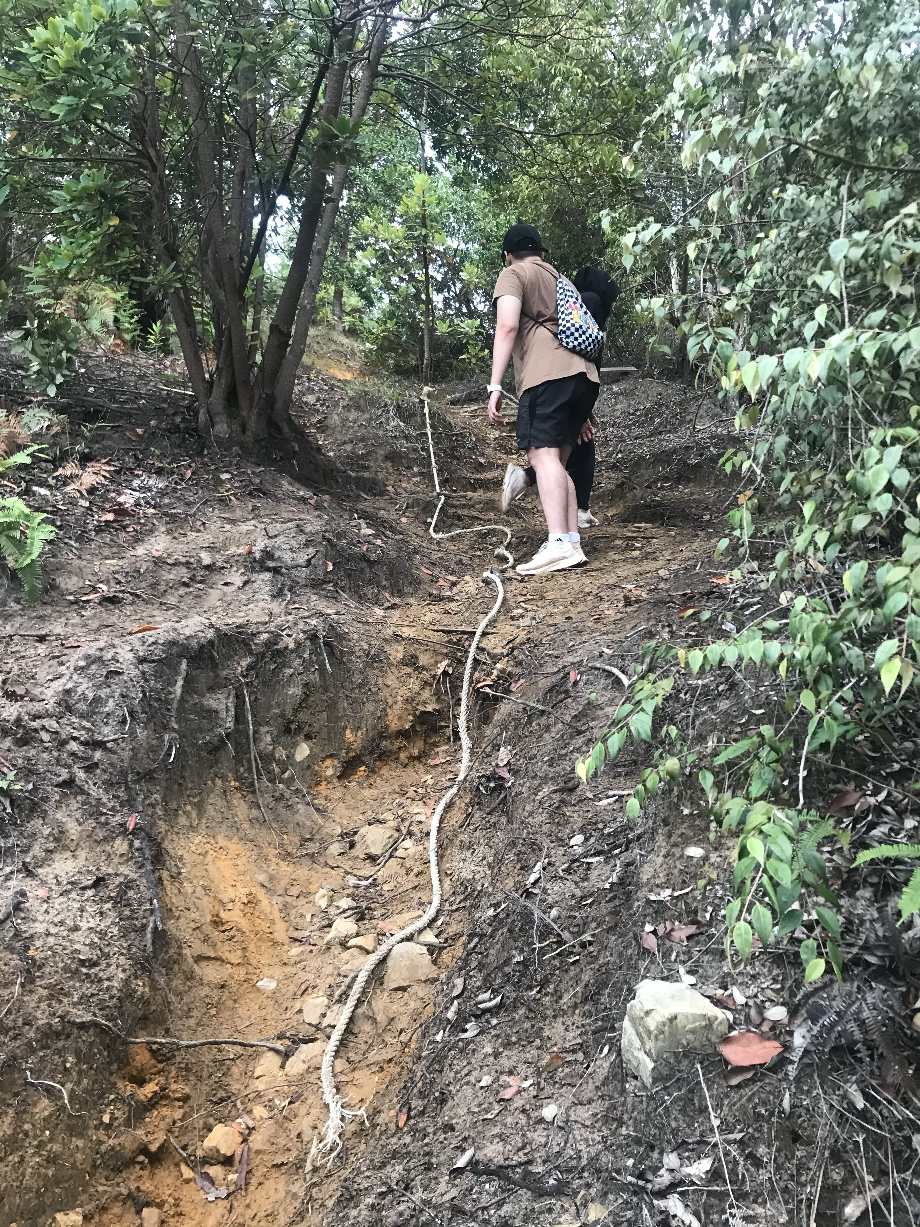
Steep trail with the help of ropes 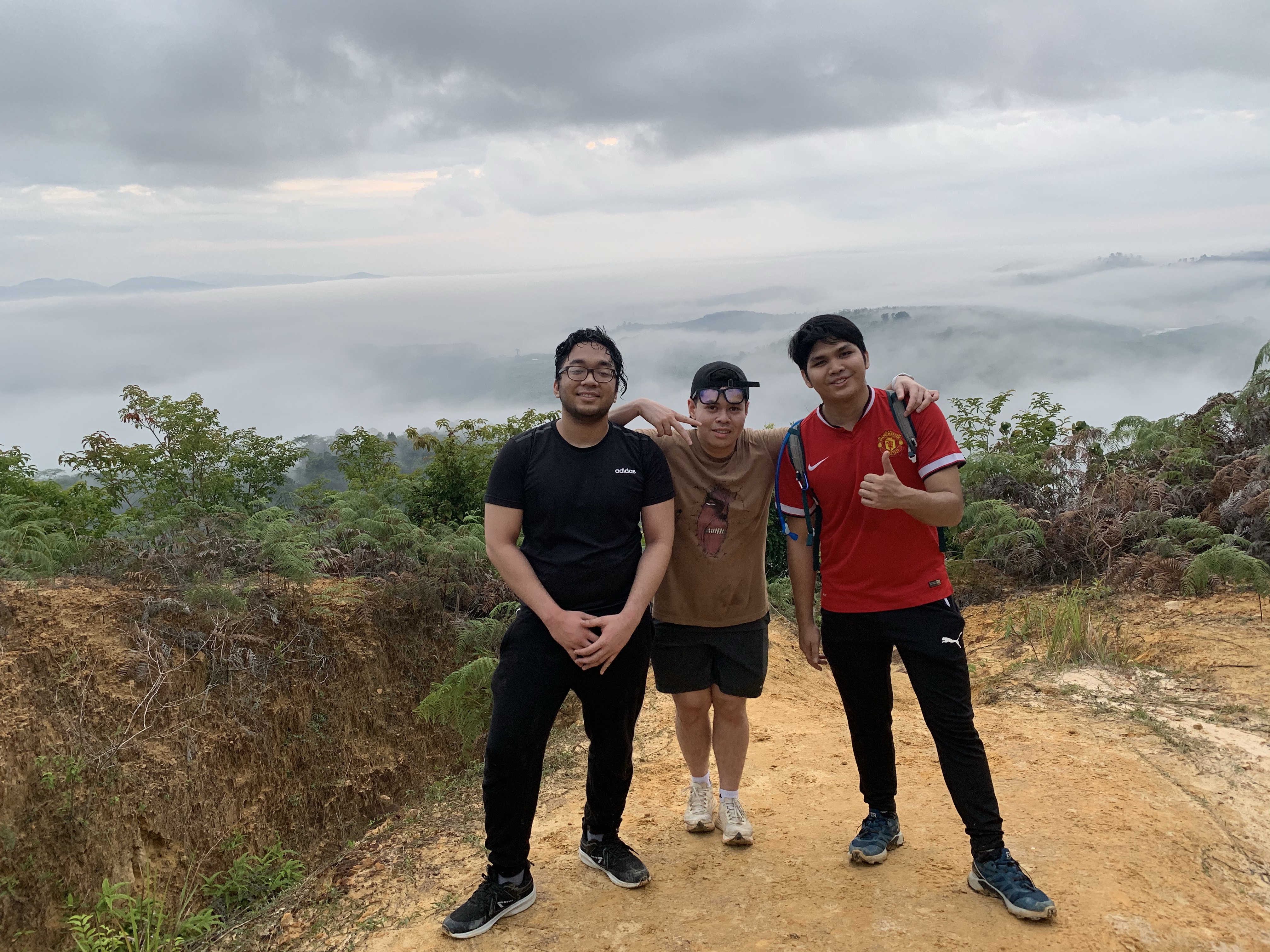
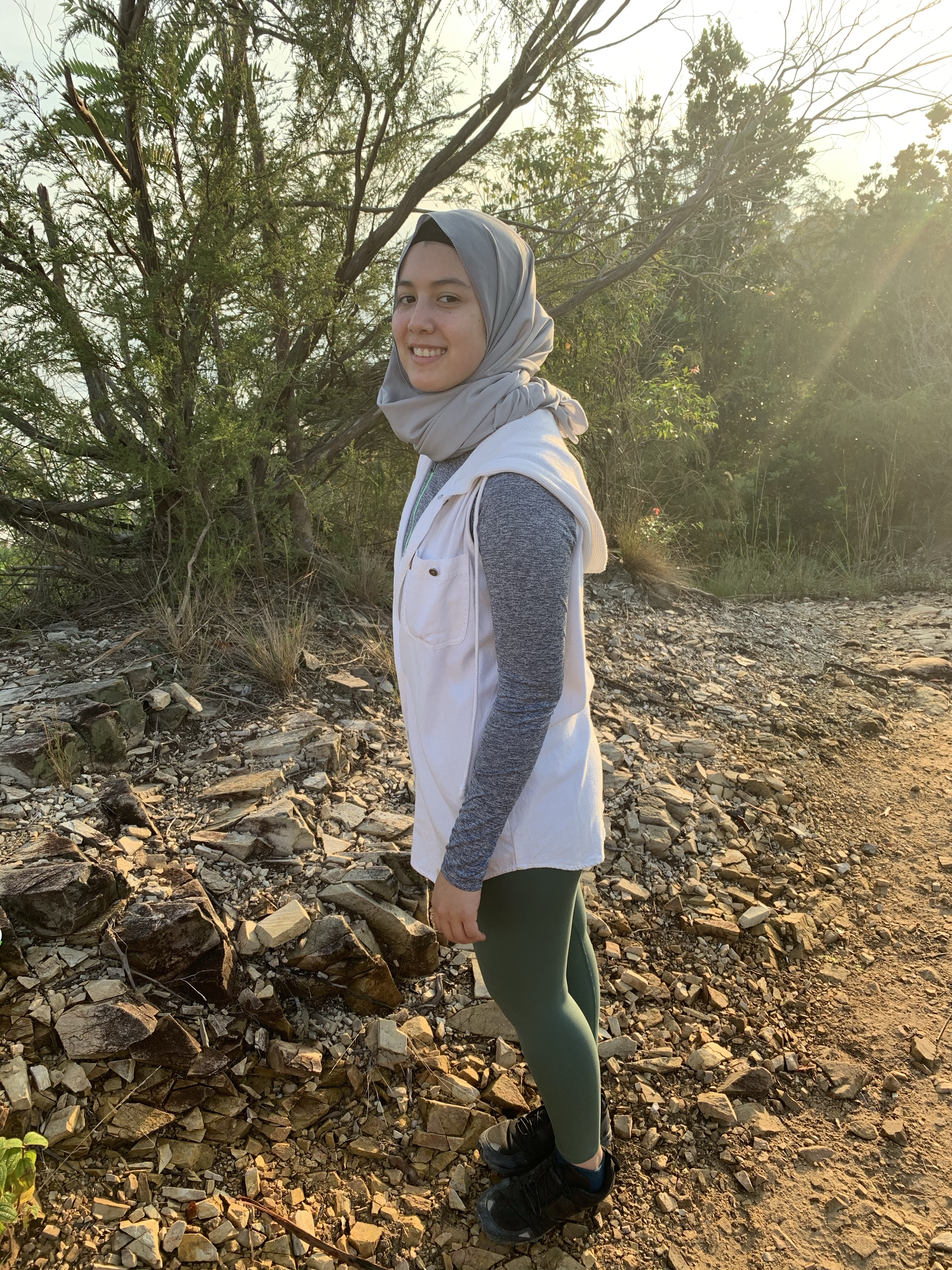
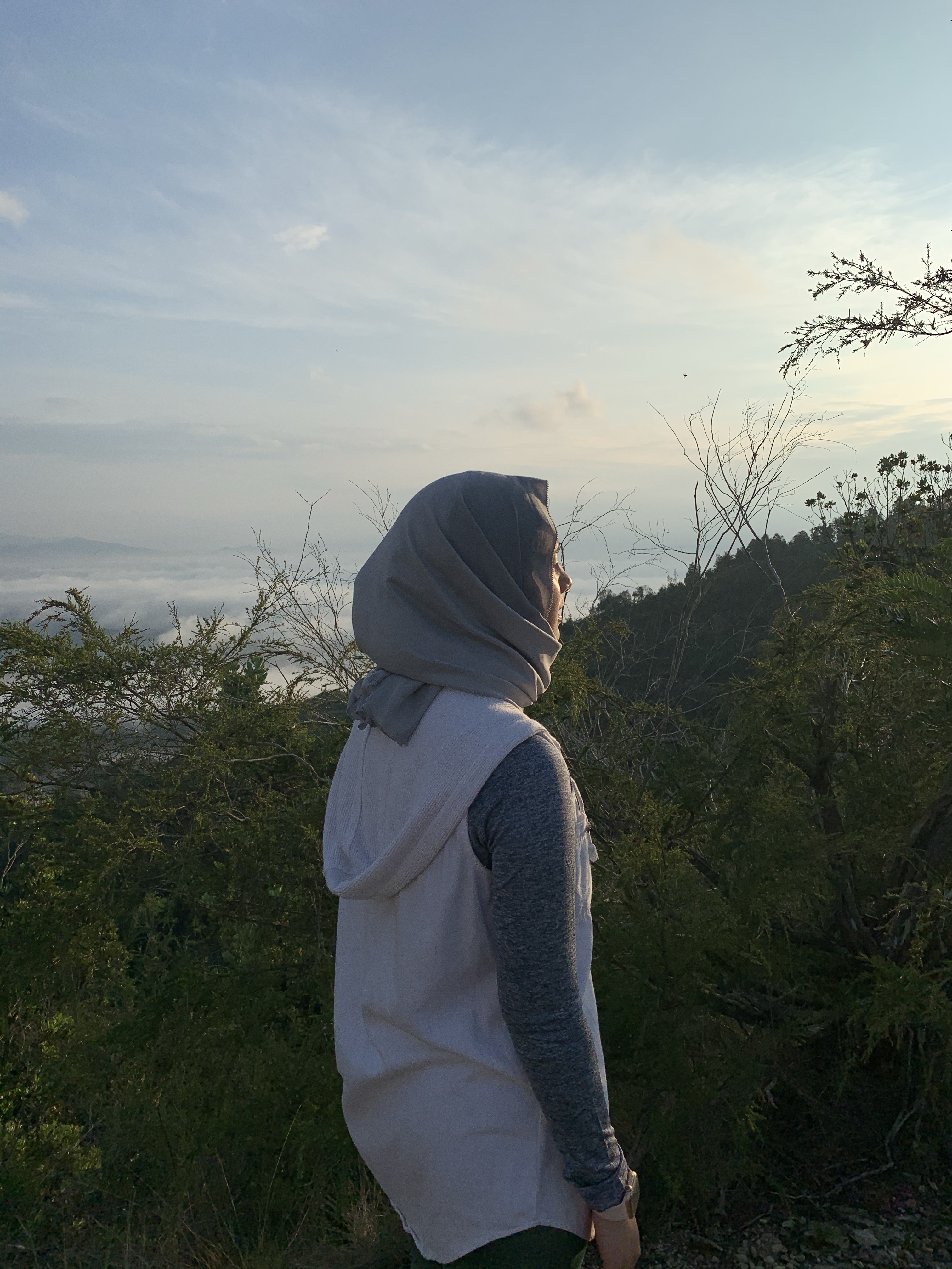
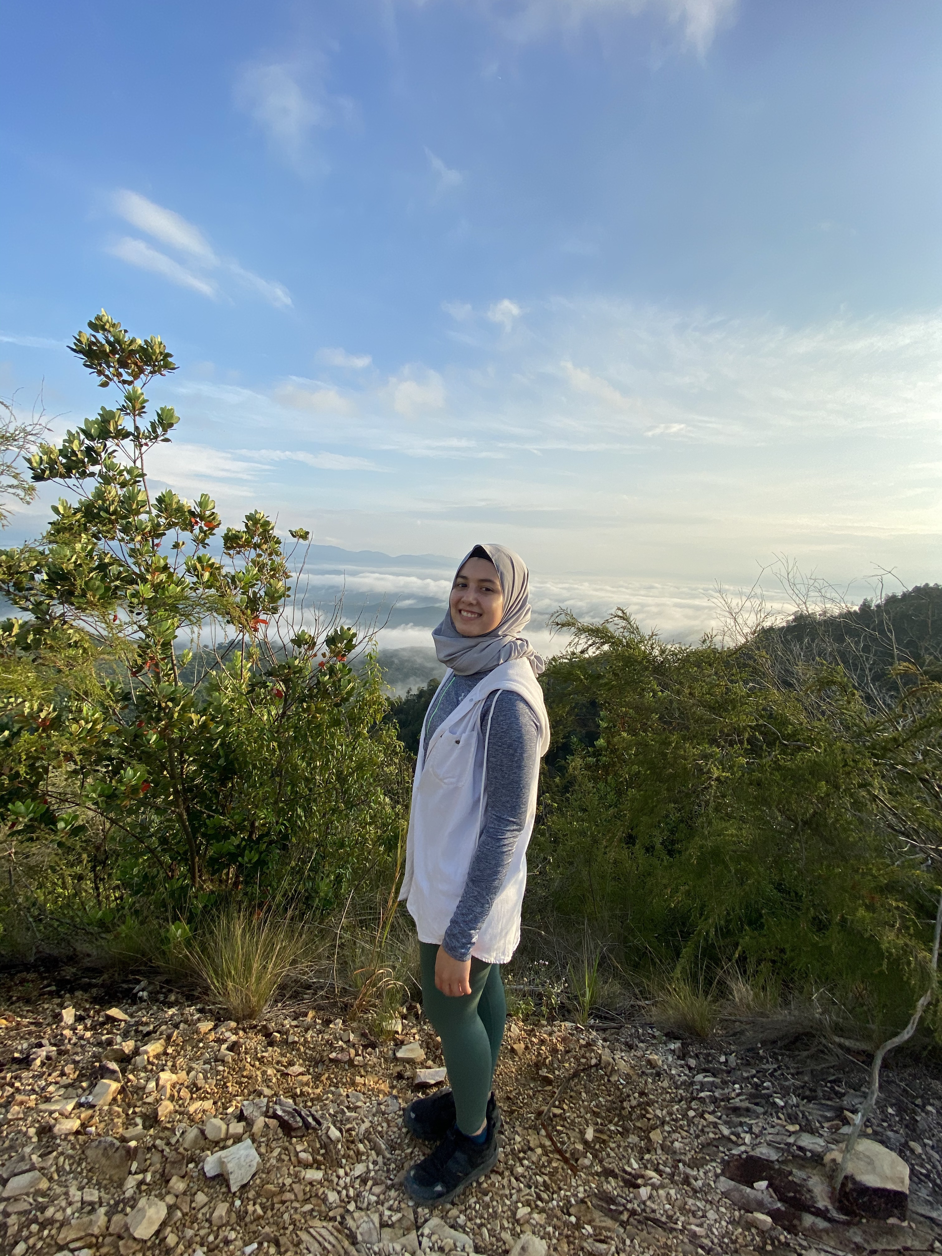
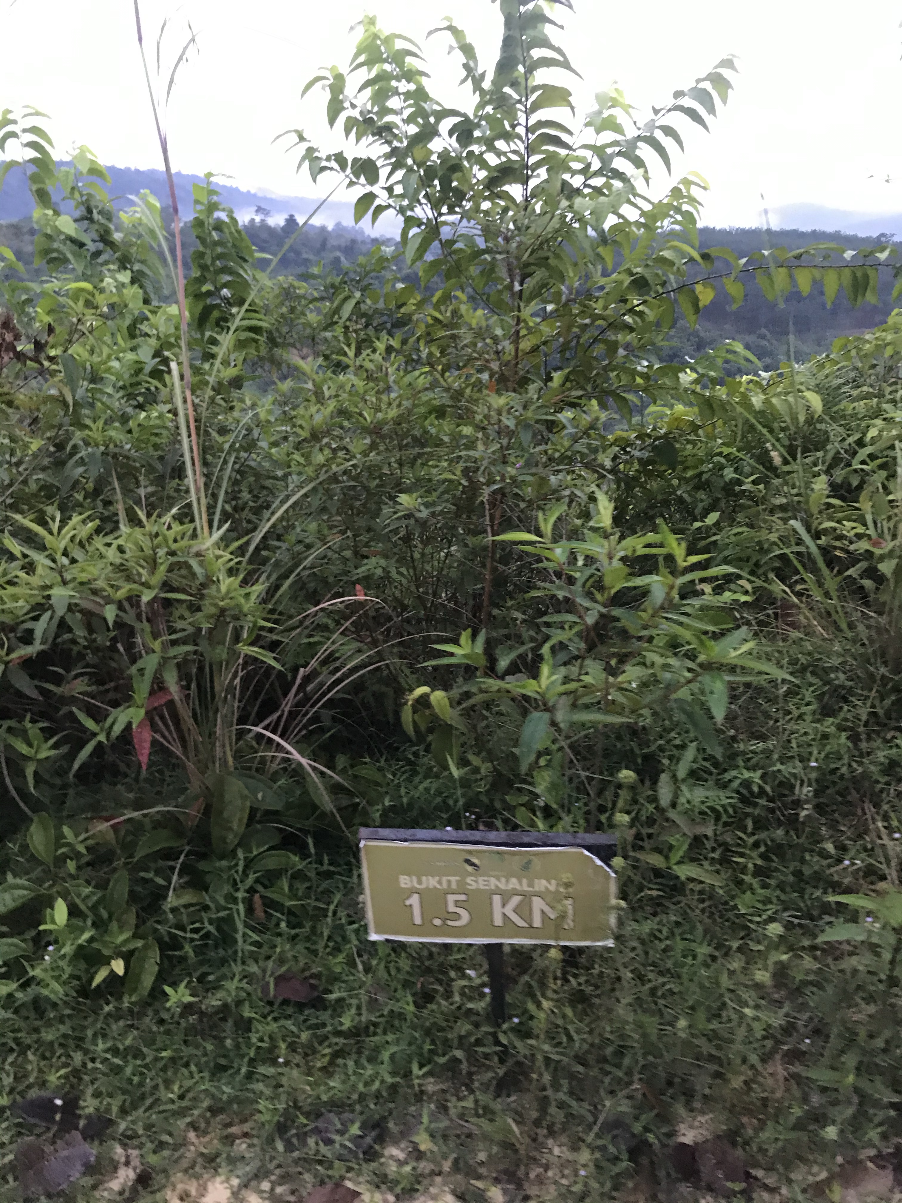
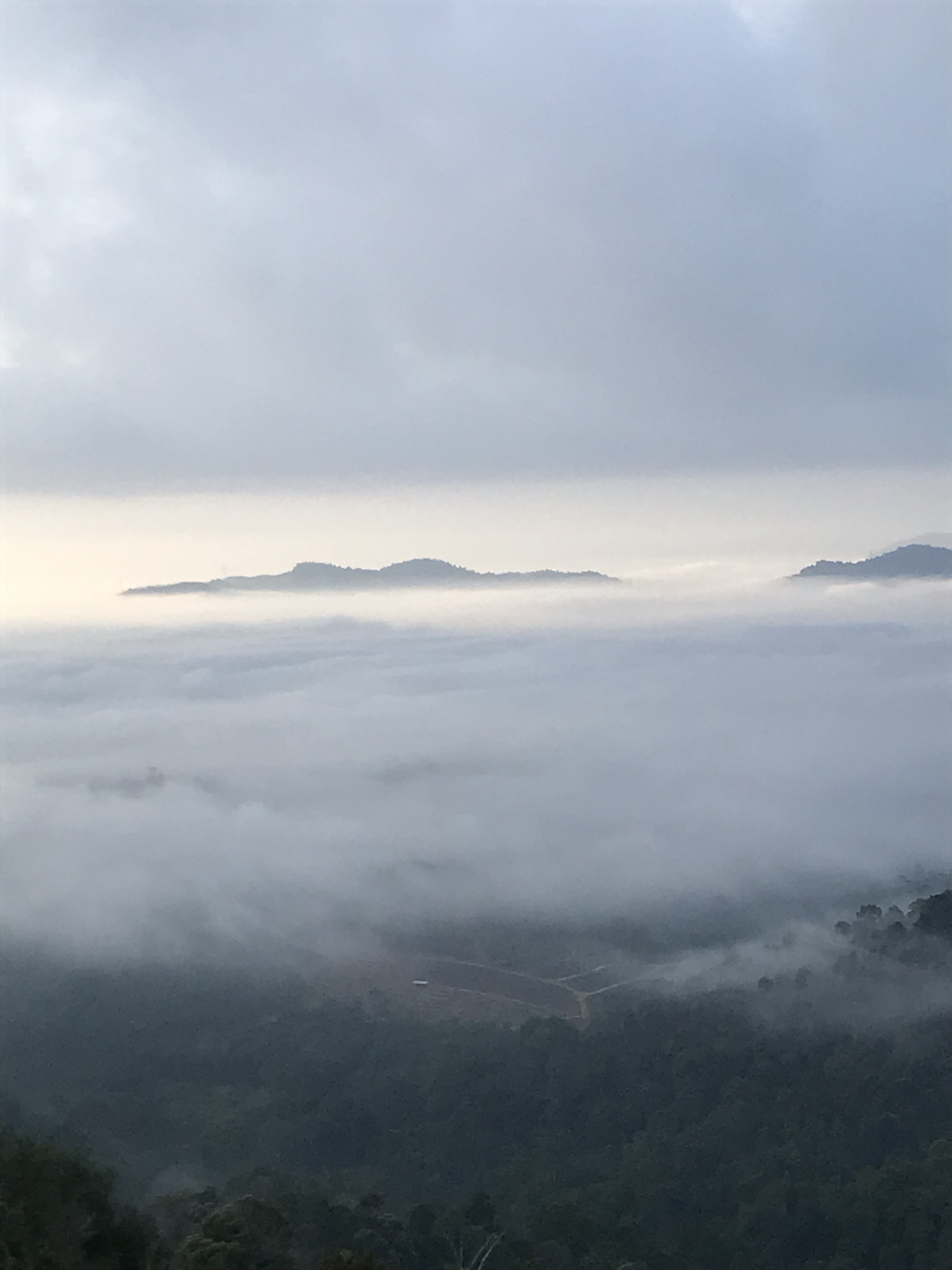
View at false peak 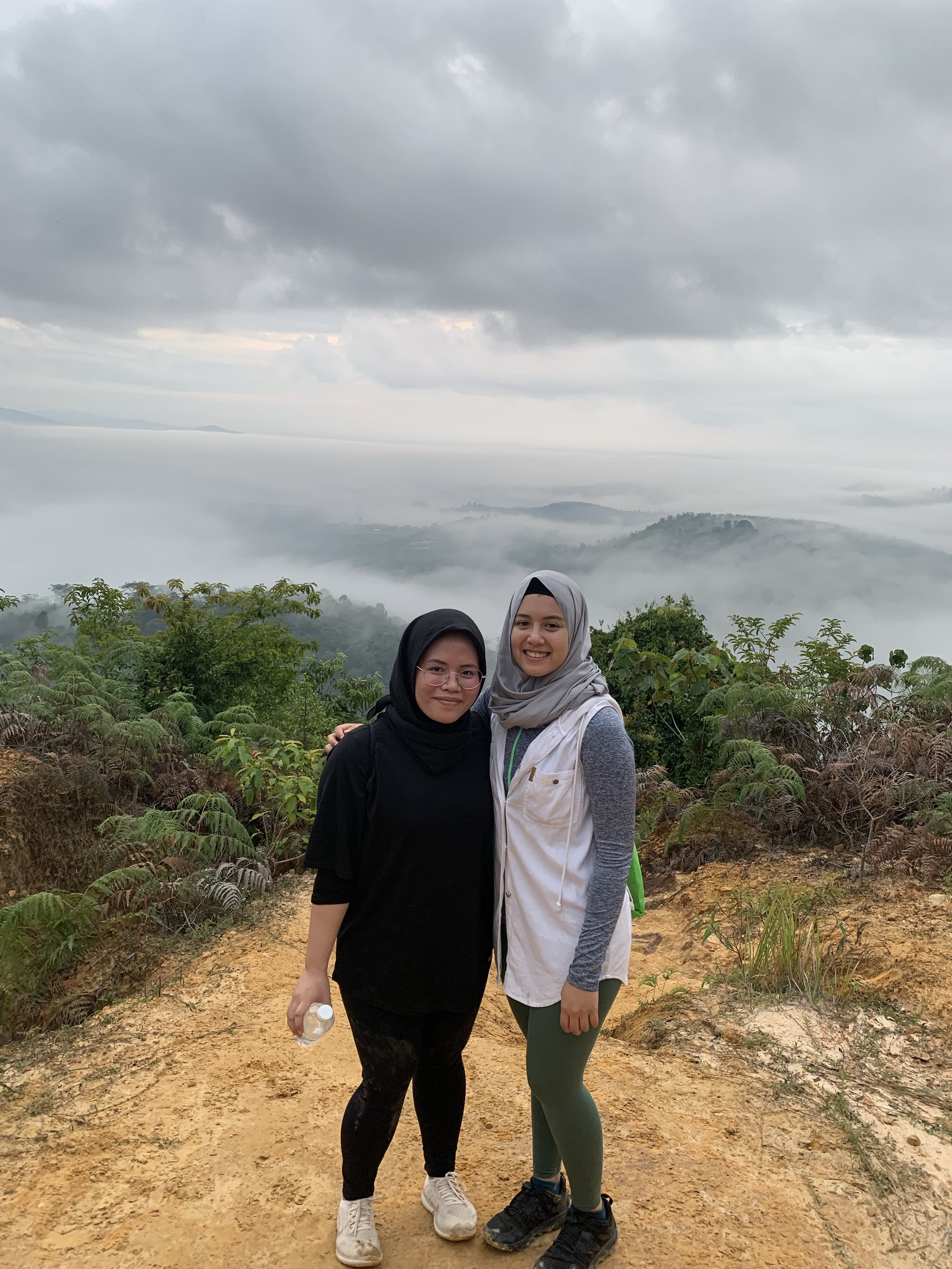
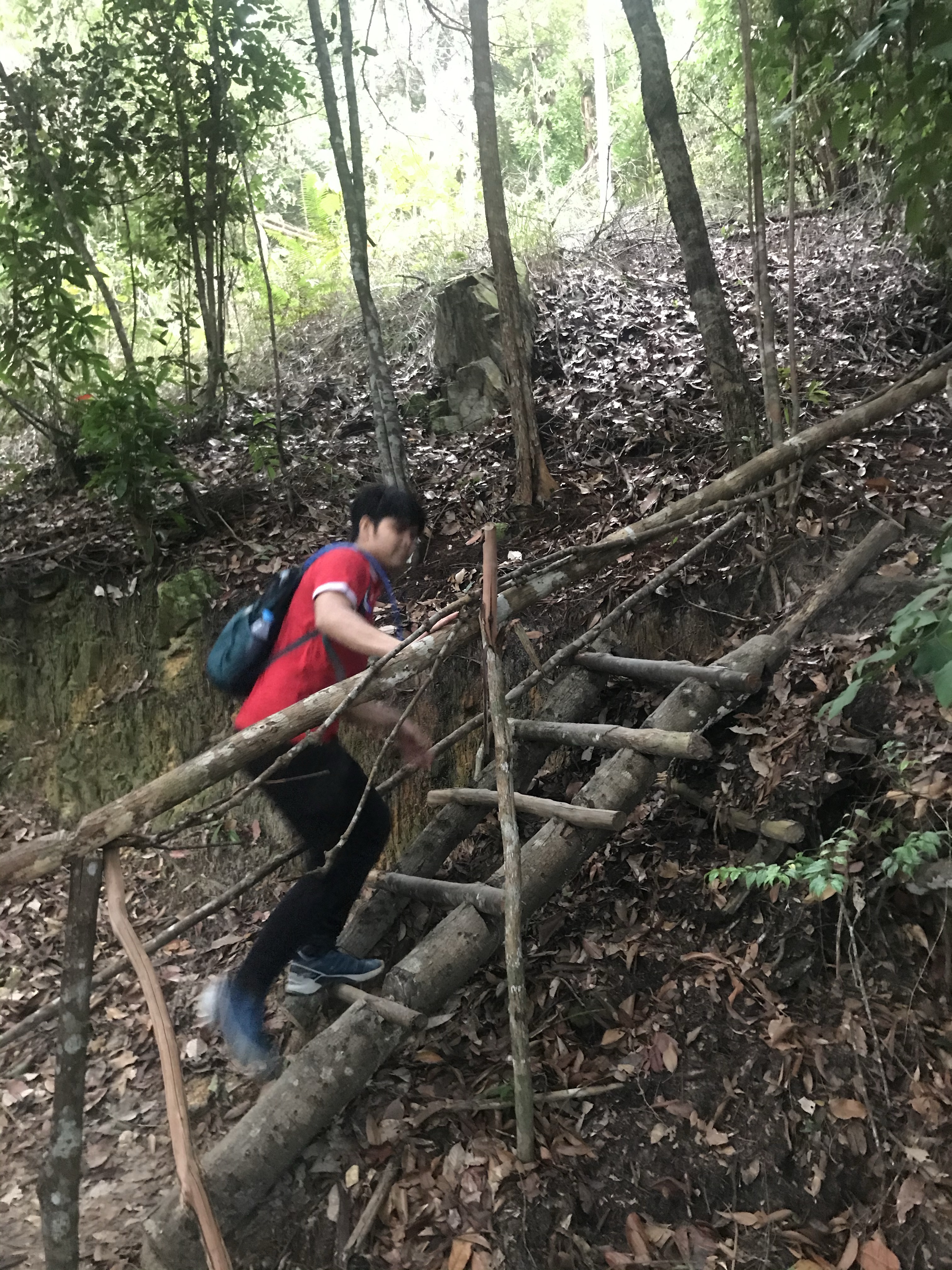
Wooden staircase 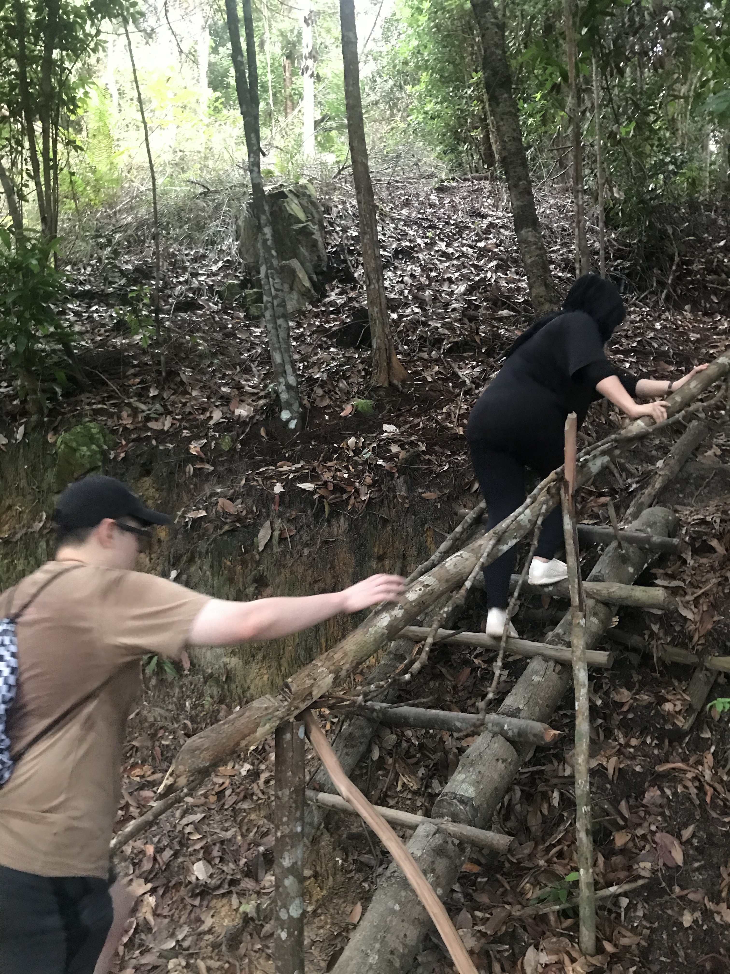

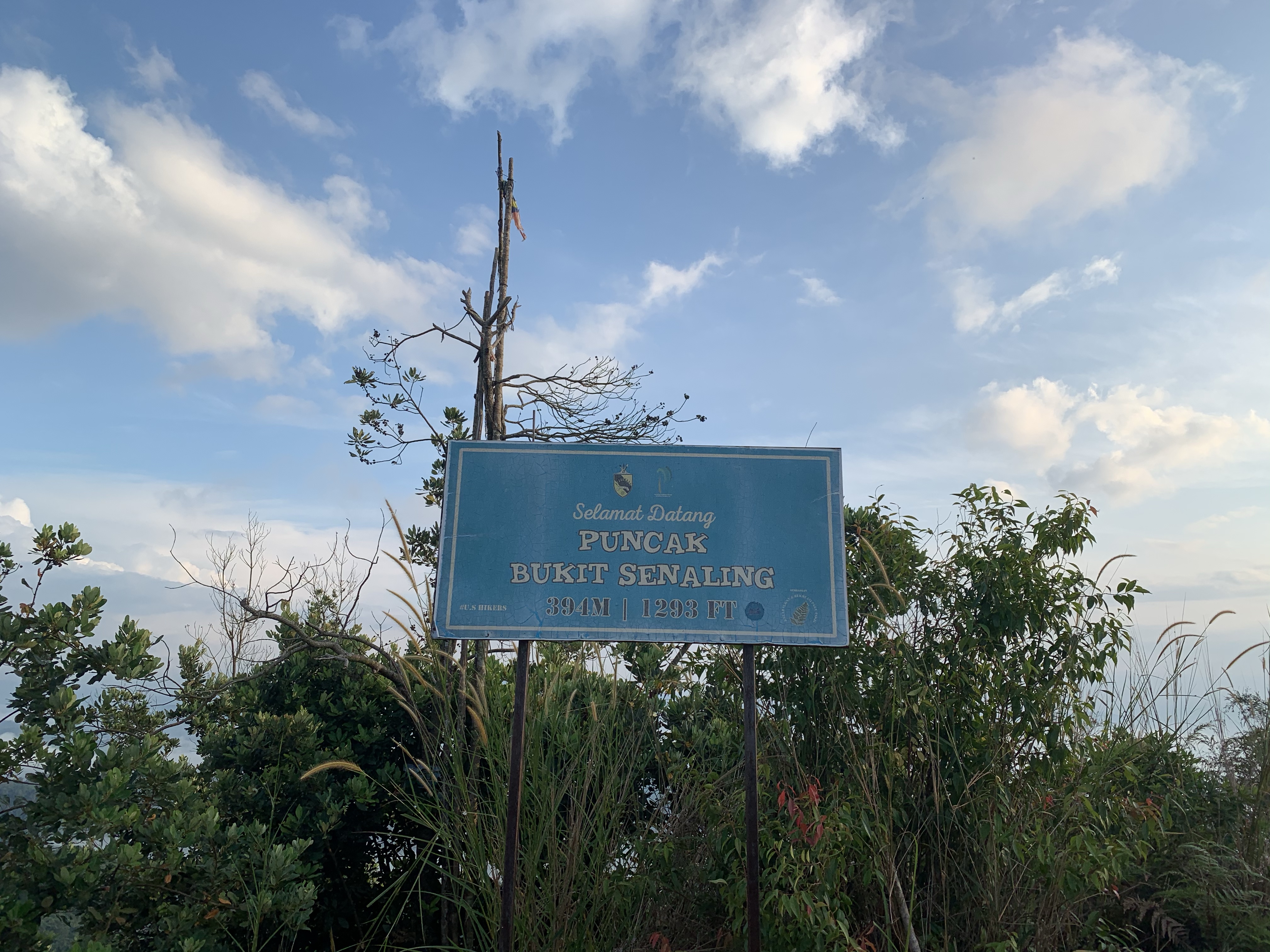
Peak 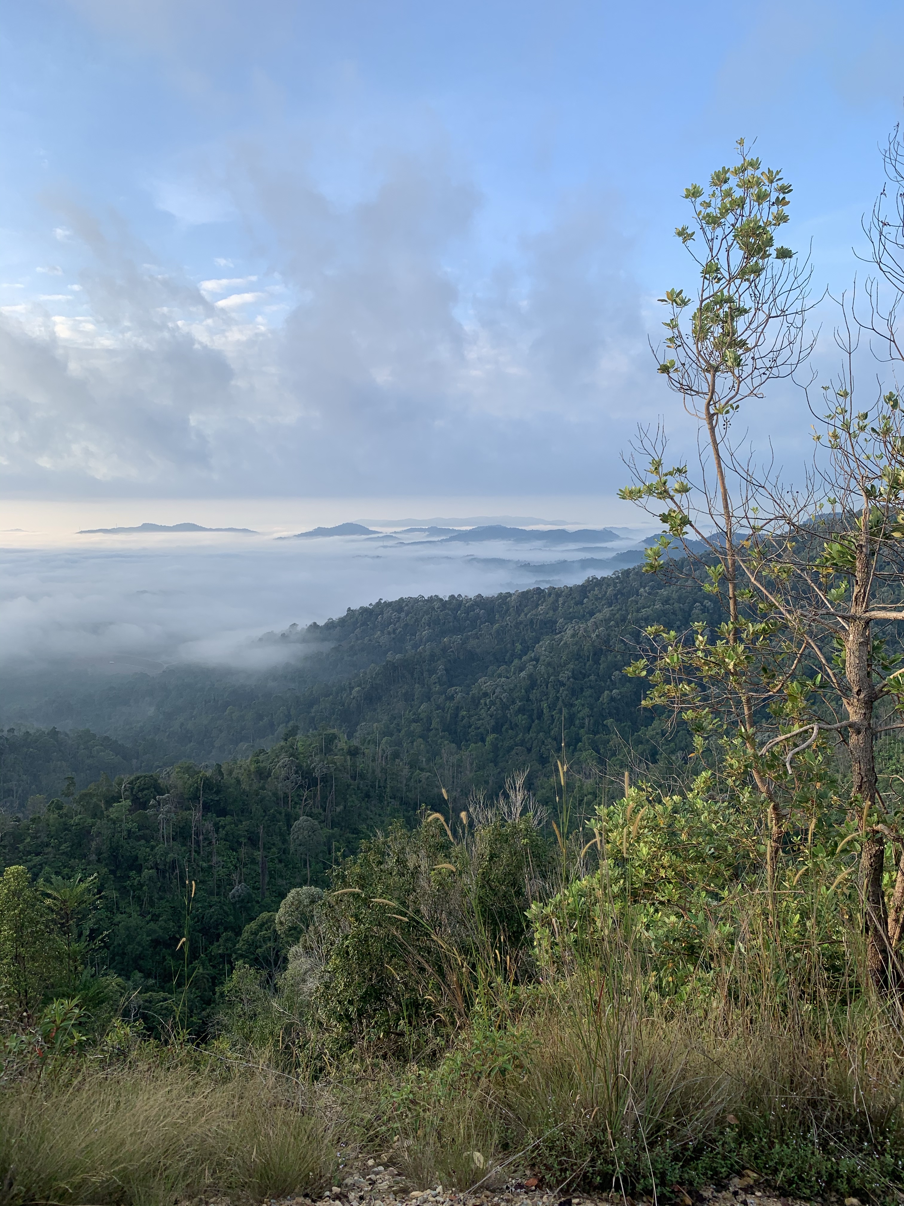
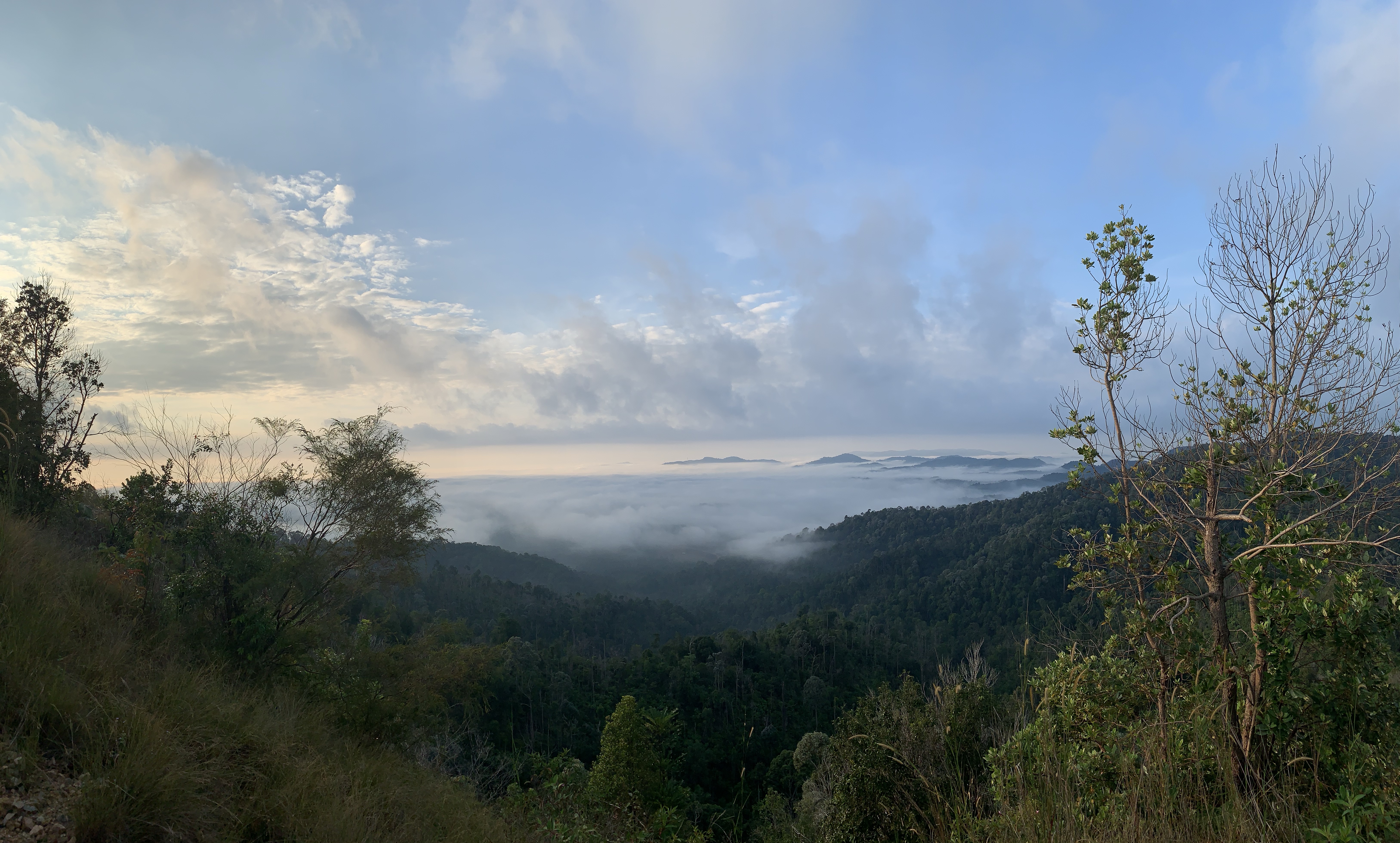
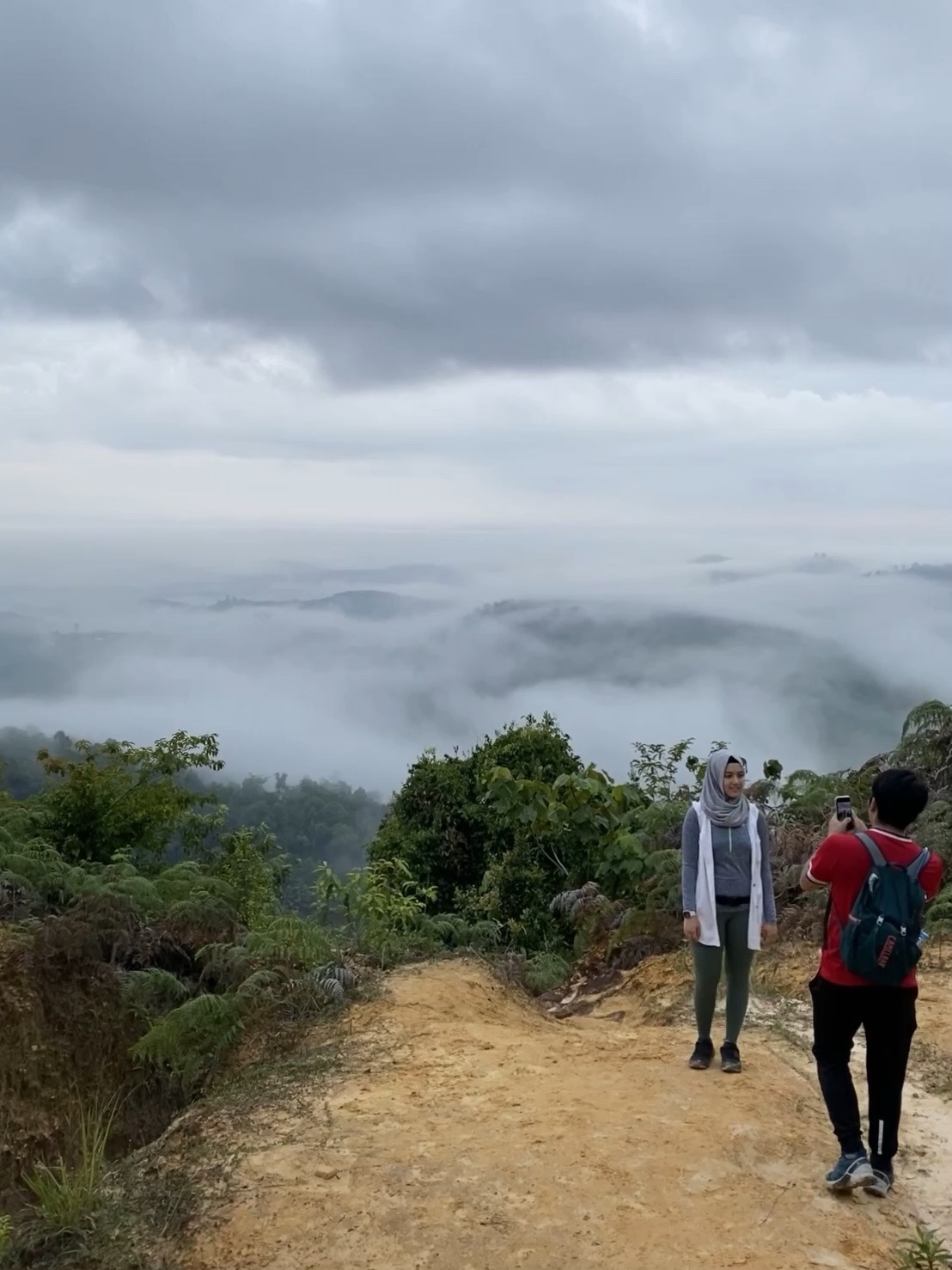
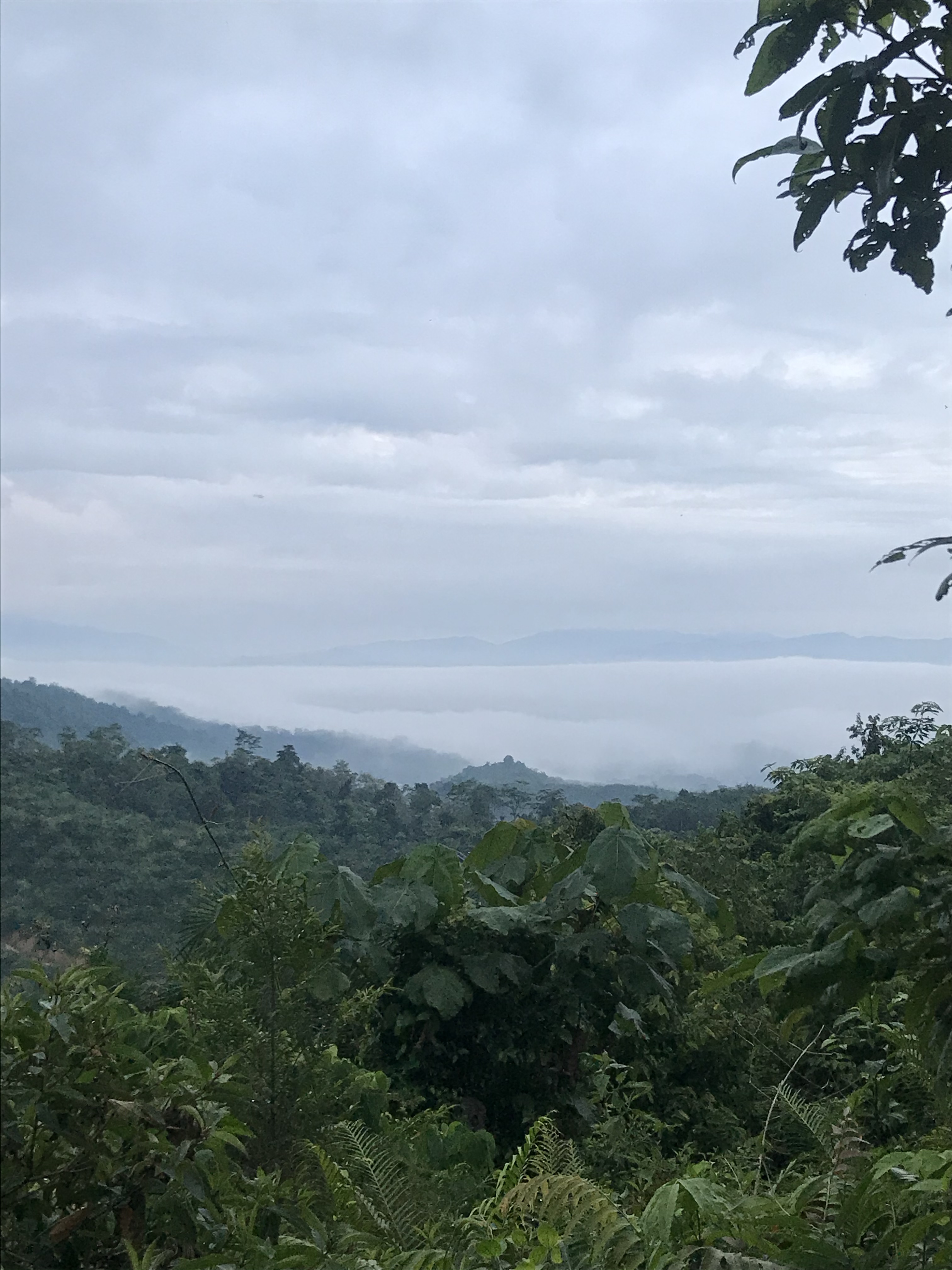
Panoramic point