Hello there!
Today, we’re going to tell you about our recent trip to Gunung Datuk, which is located in Rembau.
We woke up pretty early in the wee hours of Sunday morning as the drive from KL to Rembau took about 1 hr 35 minutes. We reached Gunung Datuk at 5am in the morning.
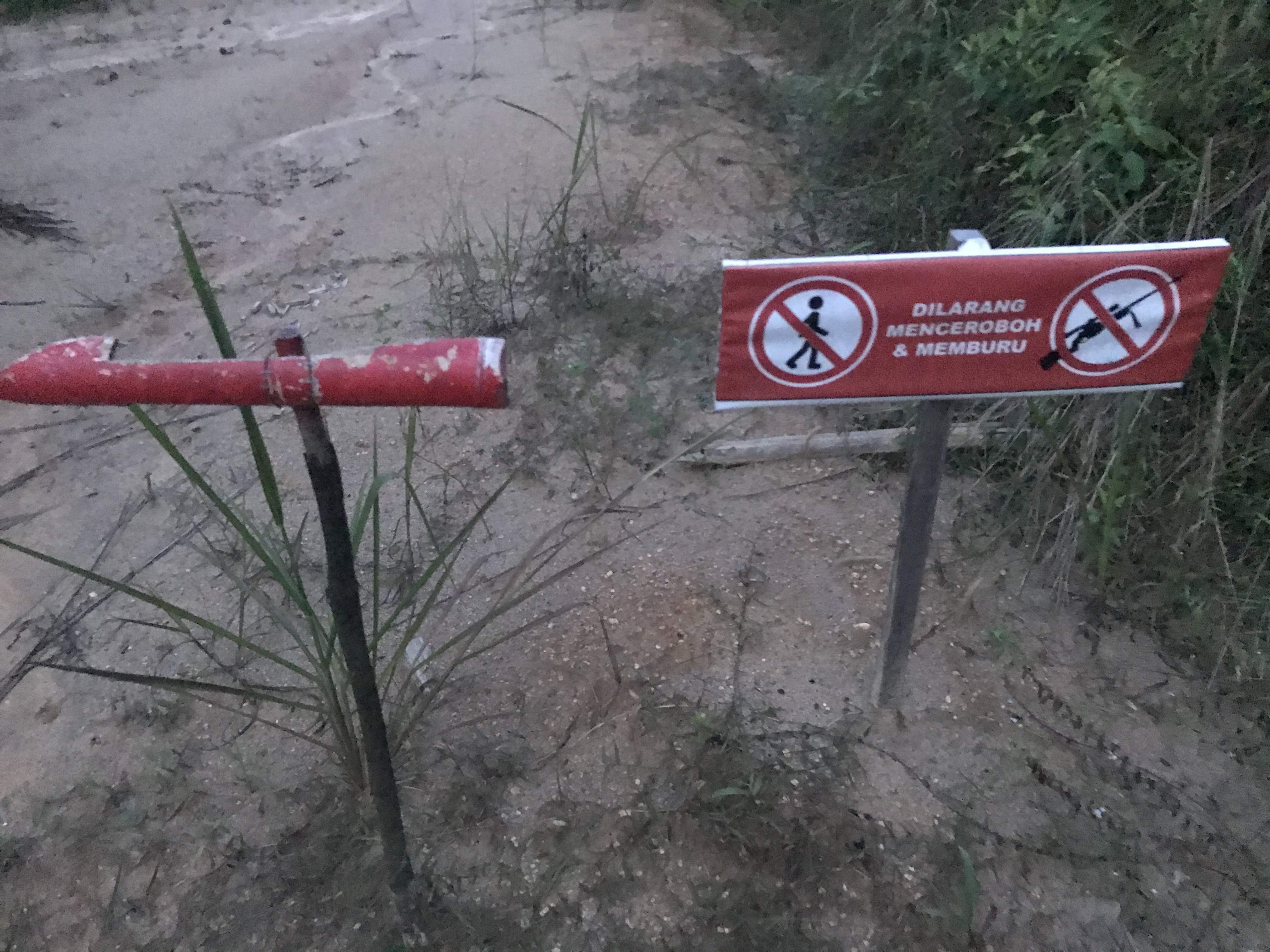
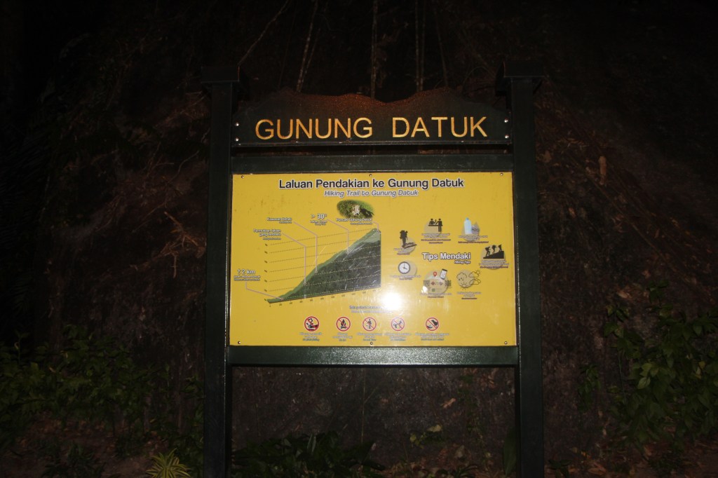
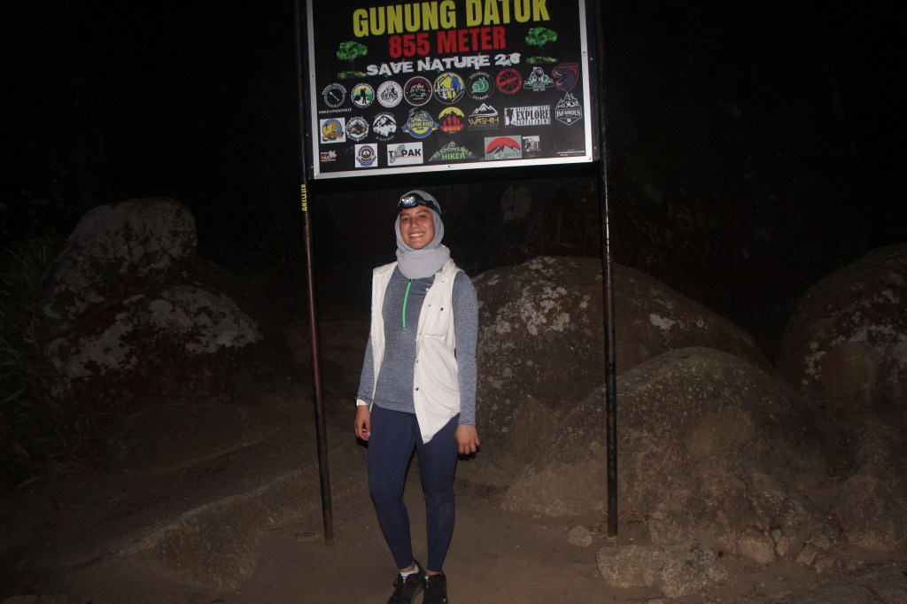
This is a signboard you’d not miss, which is located right at the registration hut.
Typically, you’d have to pay a permit fee of RM5 and to write down names before entering the premise. However, the registration hut was still closed at 5am, so we were only able to queue for that after our hike.
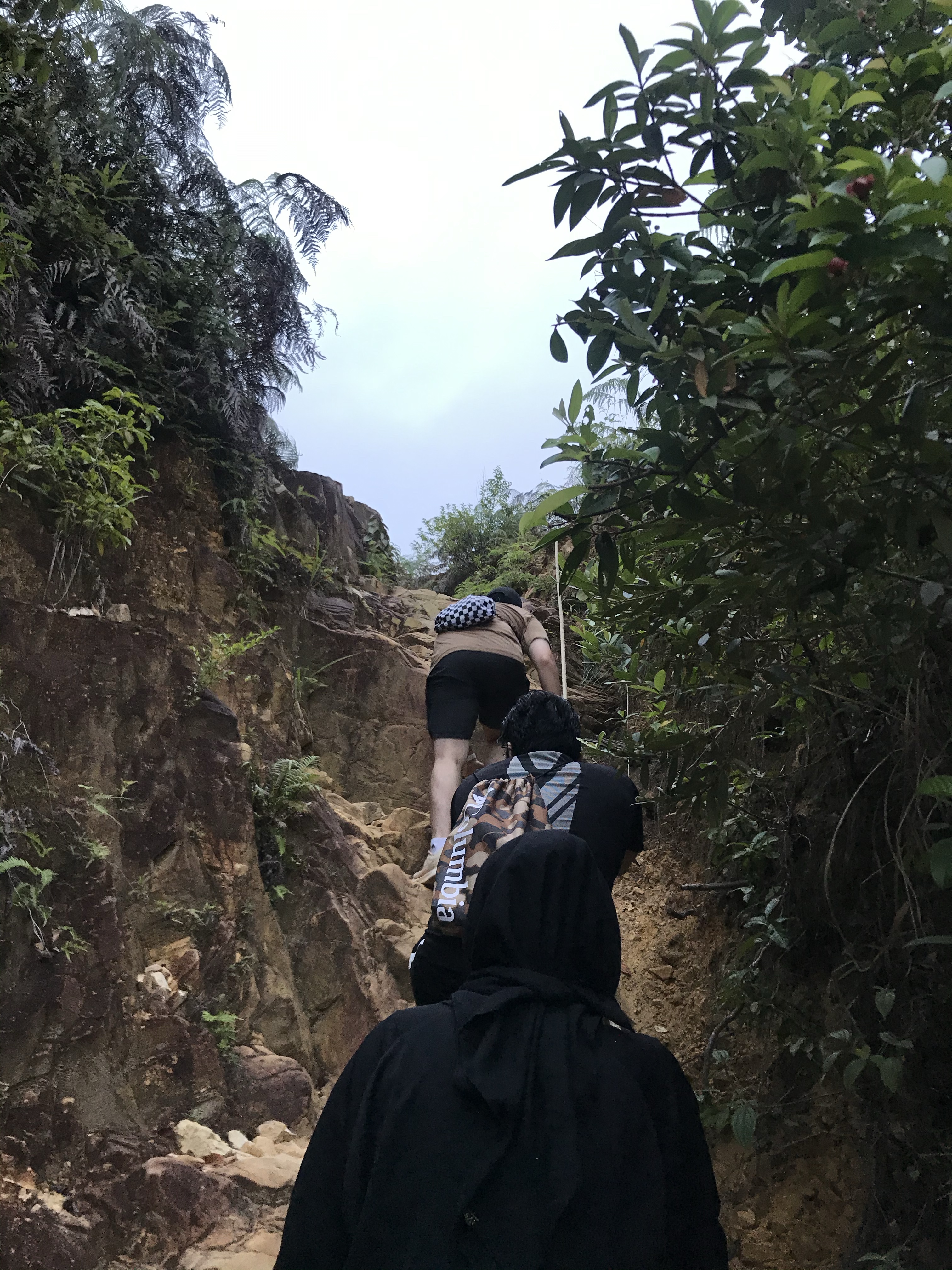
Climbing Gunung Datuk was, in our honest opinion, is challenging yet manageable.
This is because, Datuk is consistently steep all the way, in which we prefer, because it’s not like those mountains where you’re going up and down crossing hills to get to summit. It is a fairly straightforward hike, and not that long as well. But, in order to summit Gunung Datuk, one has to be mentally ready for a strenuous leg day and to be physically fit, as the hike down may tire your legs.
Here are some facts on Gunung Datuk:
- Location: Rembau, Negeri Sembilan (part of Banjaran Titiwangsa)
- Summit elevation: 884 m (2, 900 ft) above sea level
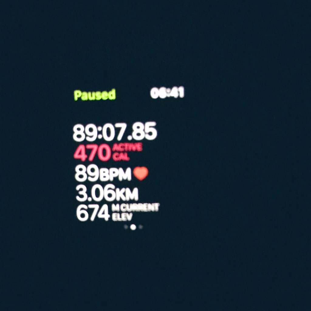
- Distance: 3.06 km one way
- Duration: Typically 2-3 hours. We took about 89 minutes to reach summit.
- Permit fee: RM 5 per person
- Parking: Free, but gets filled up very fast
- Road condition to trailhead: 2WD is permissible, but there are rough tracks which you may want to be careful with.
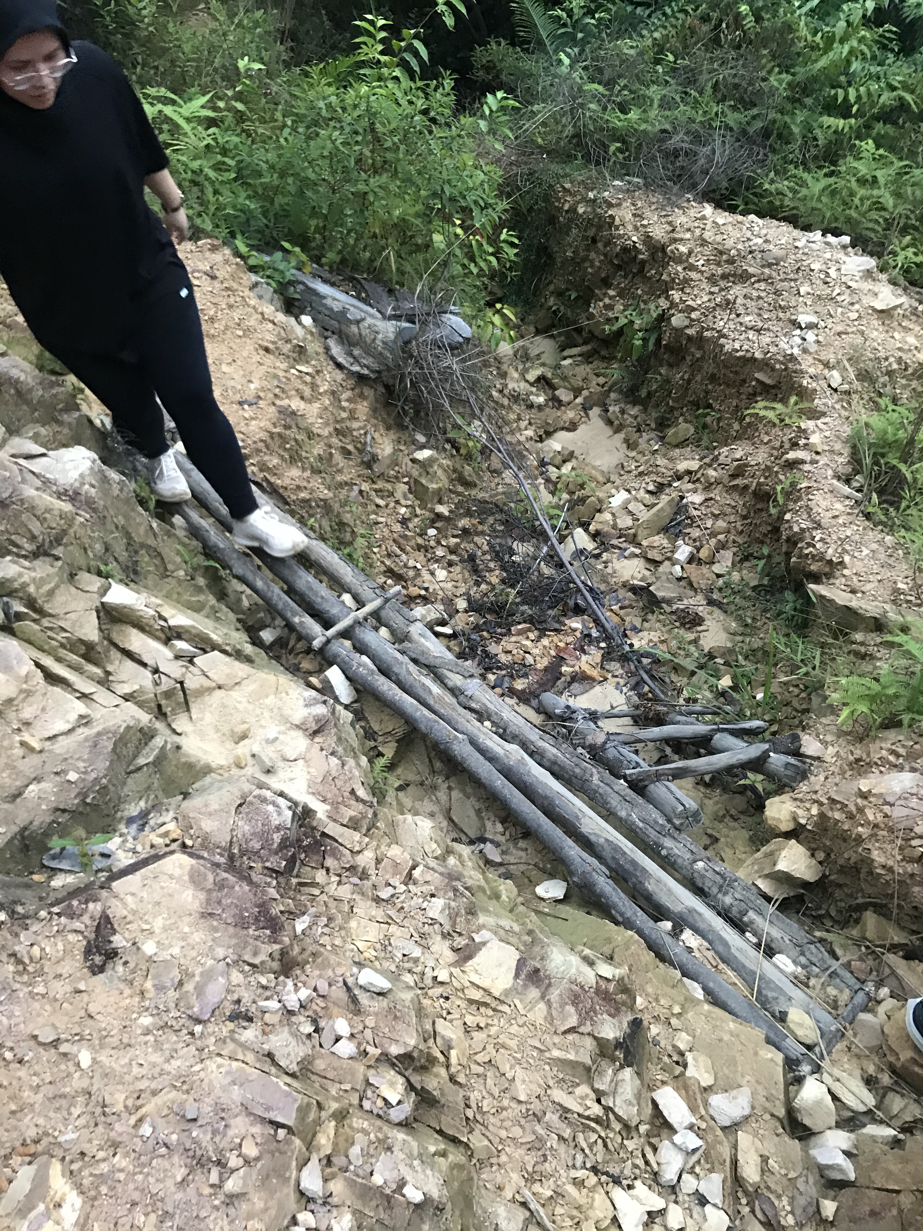
Honestly, we wouldn’t mind paying the fee at all because the trail was very well-maintained. We have to admit, the trail was very well-kept and has accessible, stable staircases at the boulder summit, which has a similar feel to the trail in Gunung Kinabalu, except — of course– for its distance and panoramic view. We were convinced that there were less trash around (except for one Kinder bueno wrap that we picked up on our way down), which is very impressive. We just love clean trails 😉
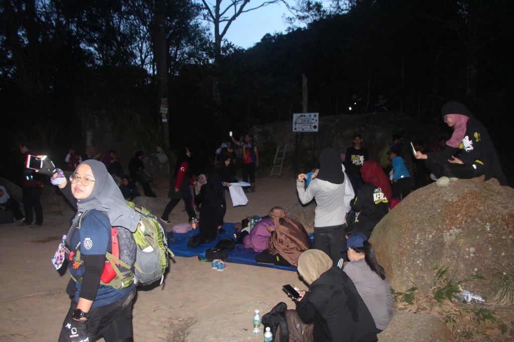
Anyway, summiting a sunrise hike is just like a regular hike, except that it requires headlamp for you to see in the dark. We were honestly quite surprised to see so many groups of people on our way up, also trying to catch the sun. But, we were even more surprised to see a lot more groups coming up on our way down. Gunung Datuk is a very popular hiking spot during the weekend, so you may want to come up a little earlier to avoid traffic.
There are many benefits to sunrise hiking, which we are very sure why there are others who have opted for this too:
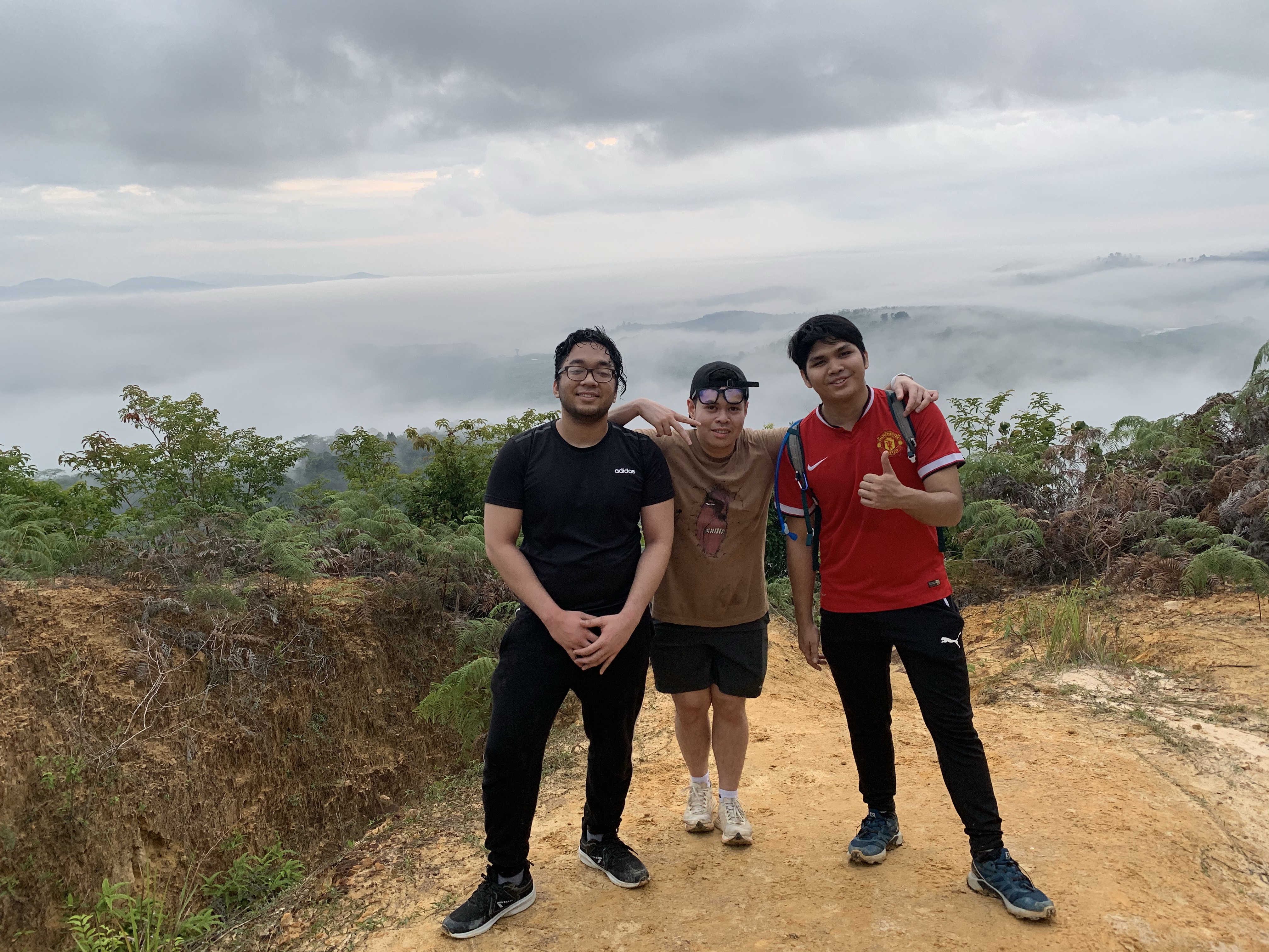
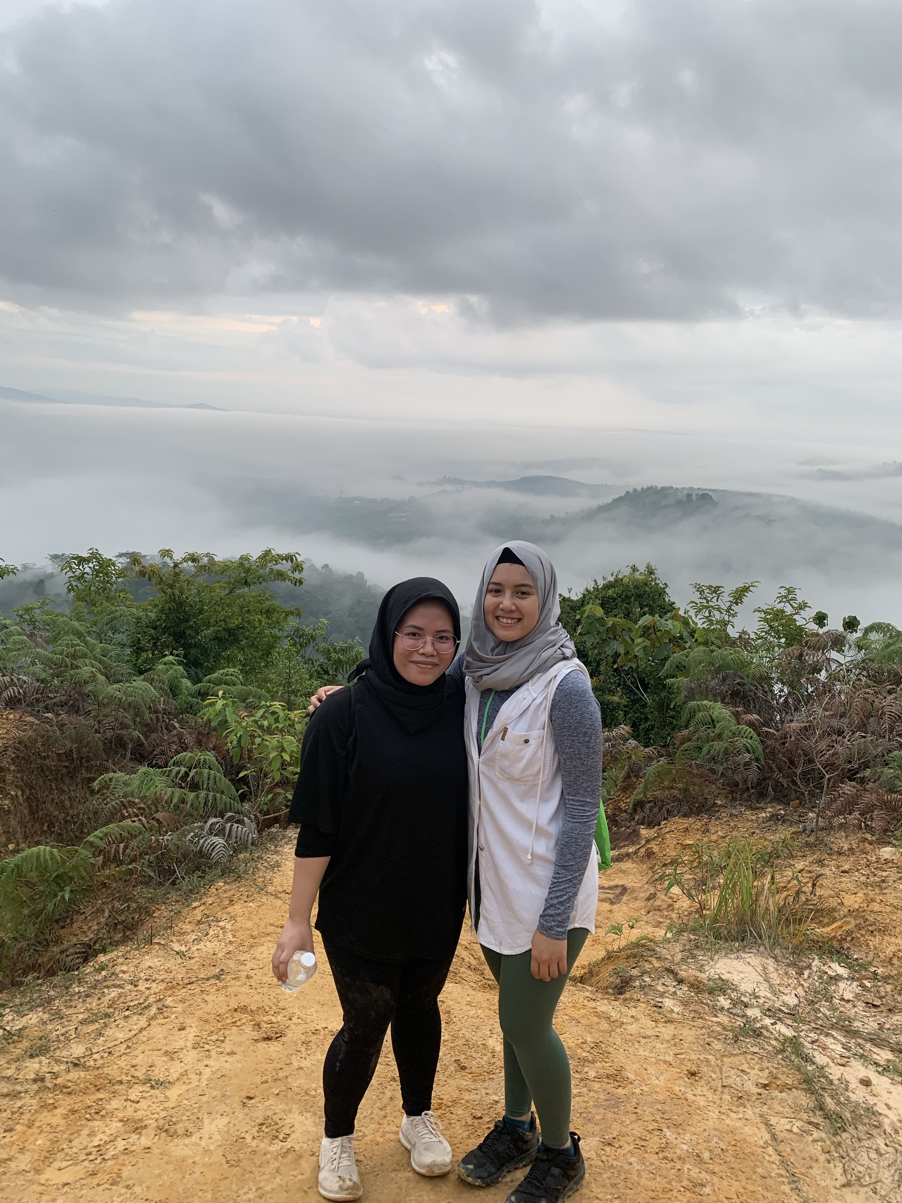
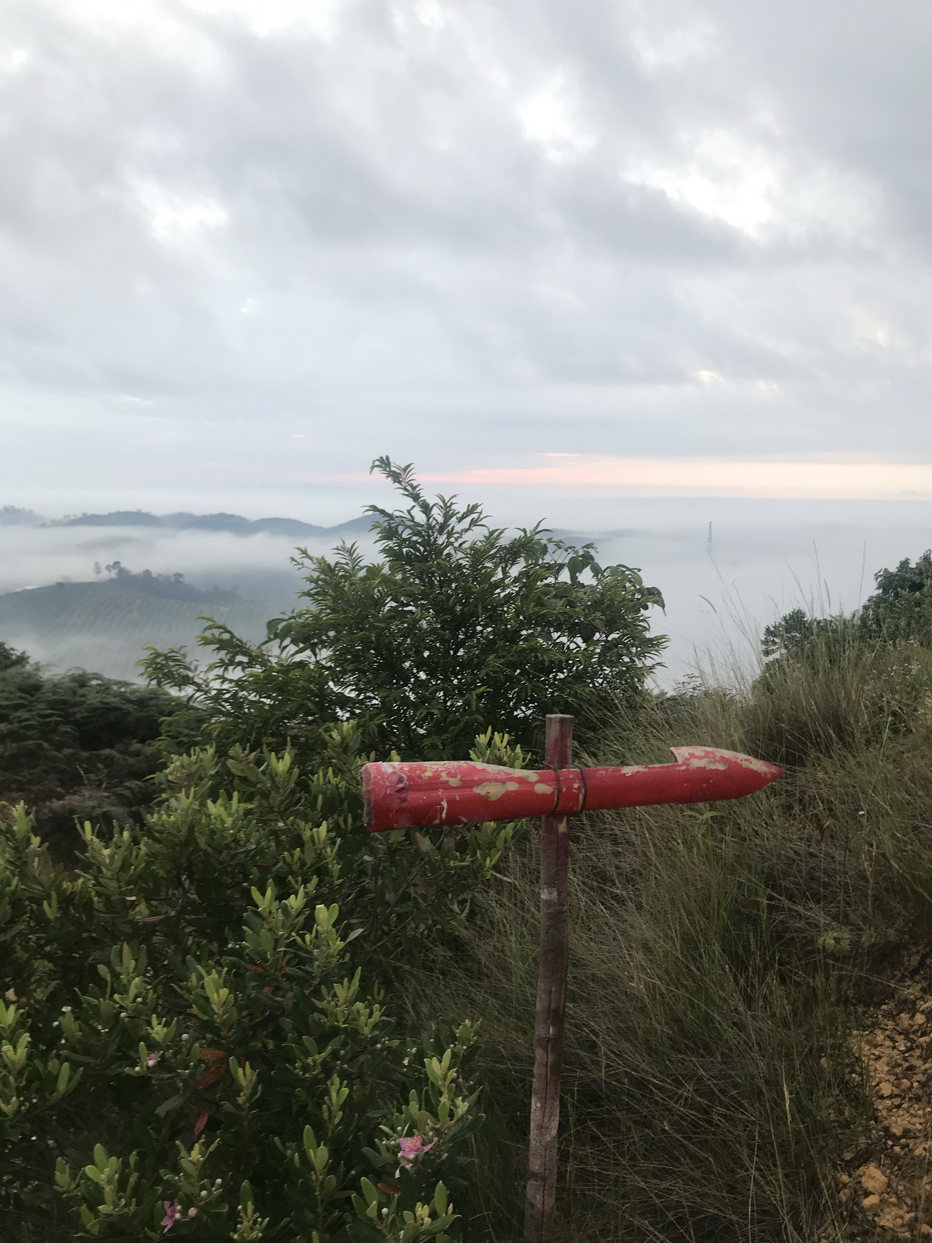
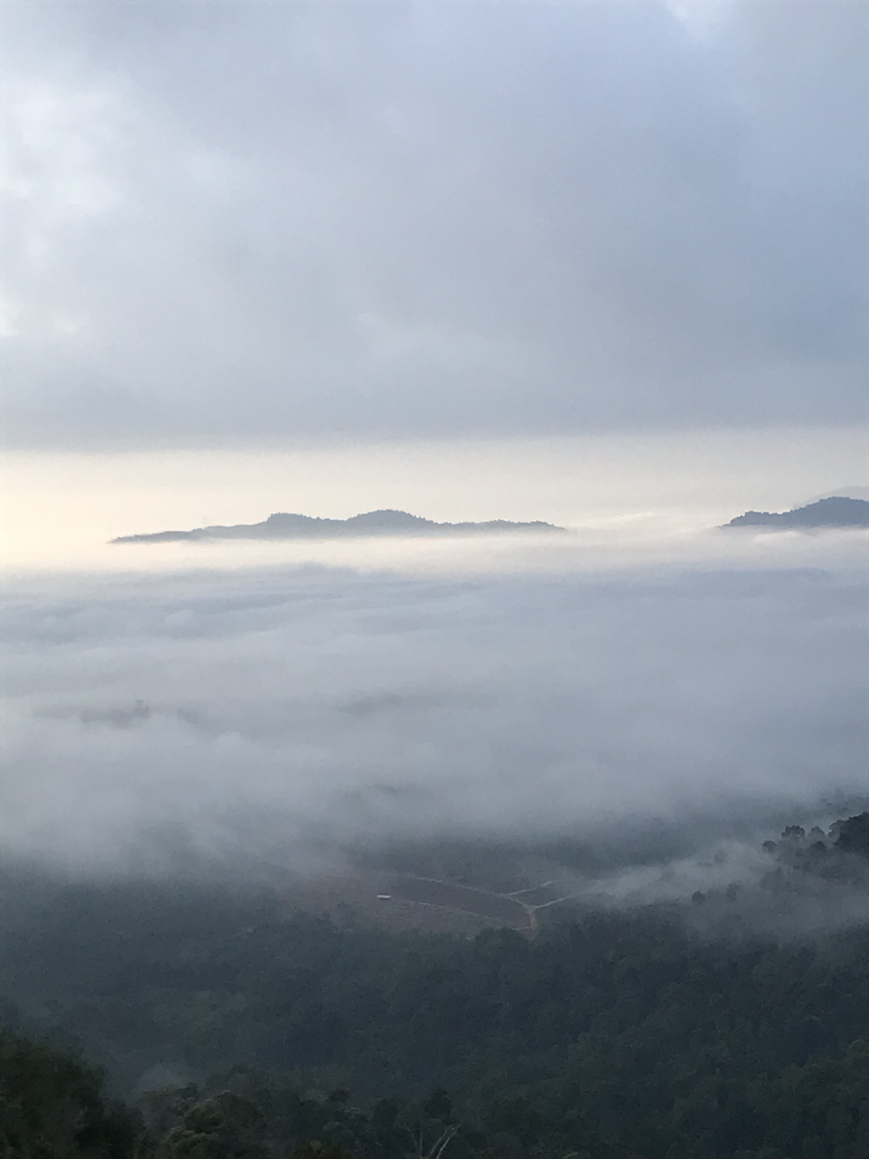
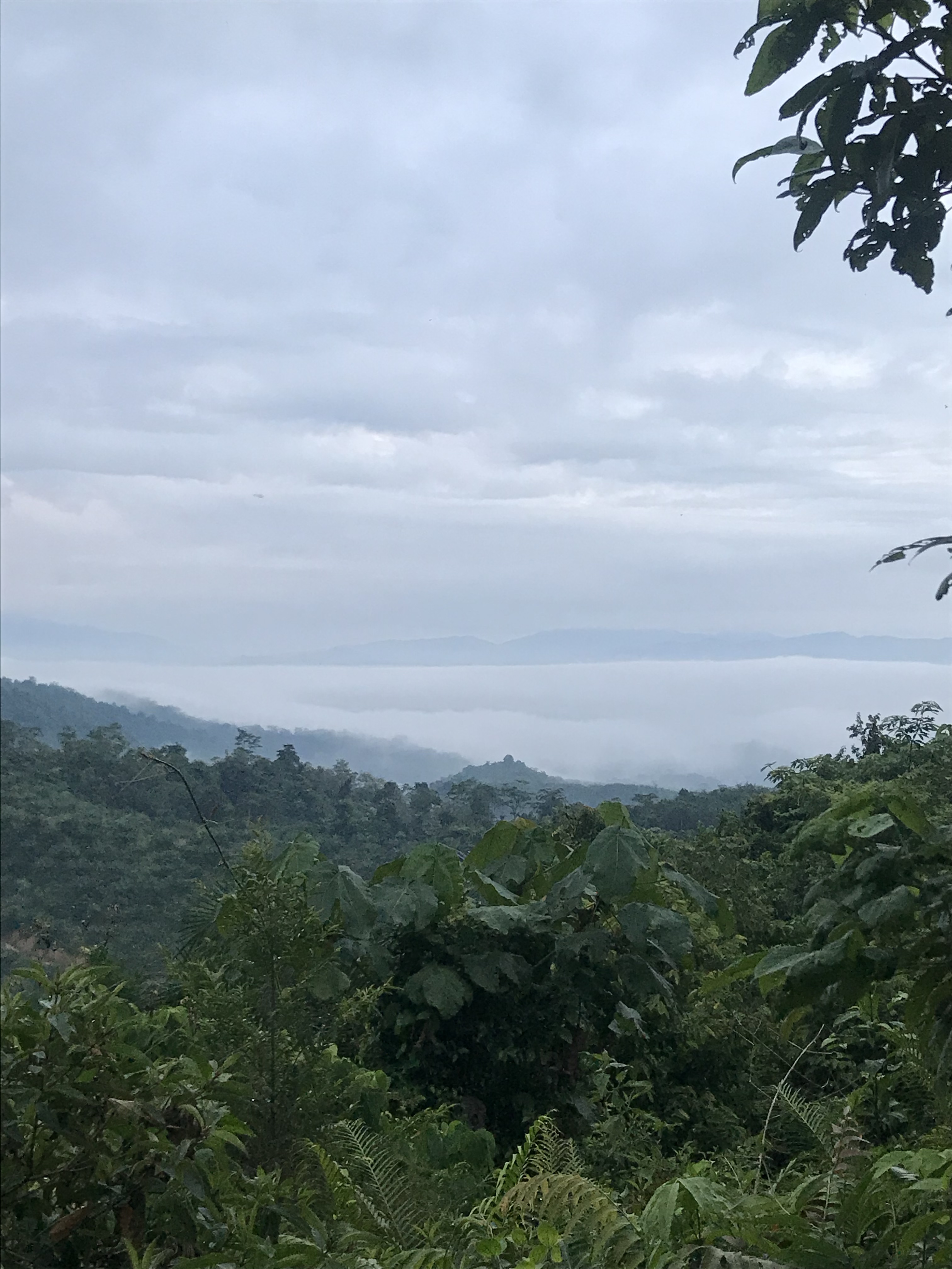
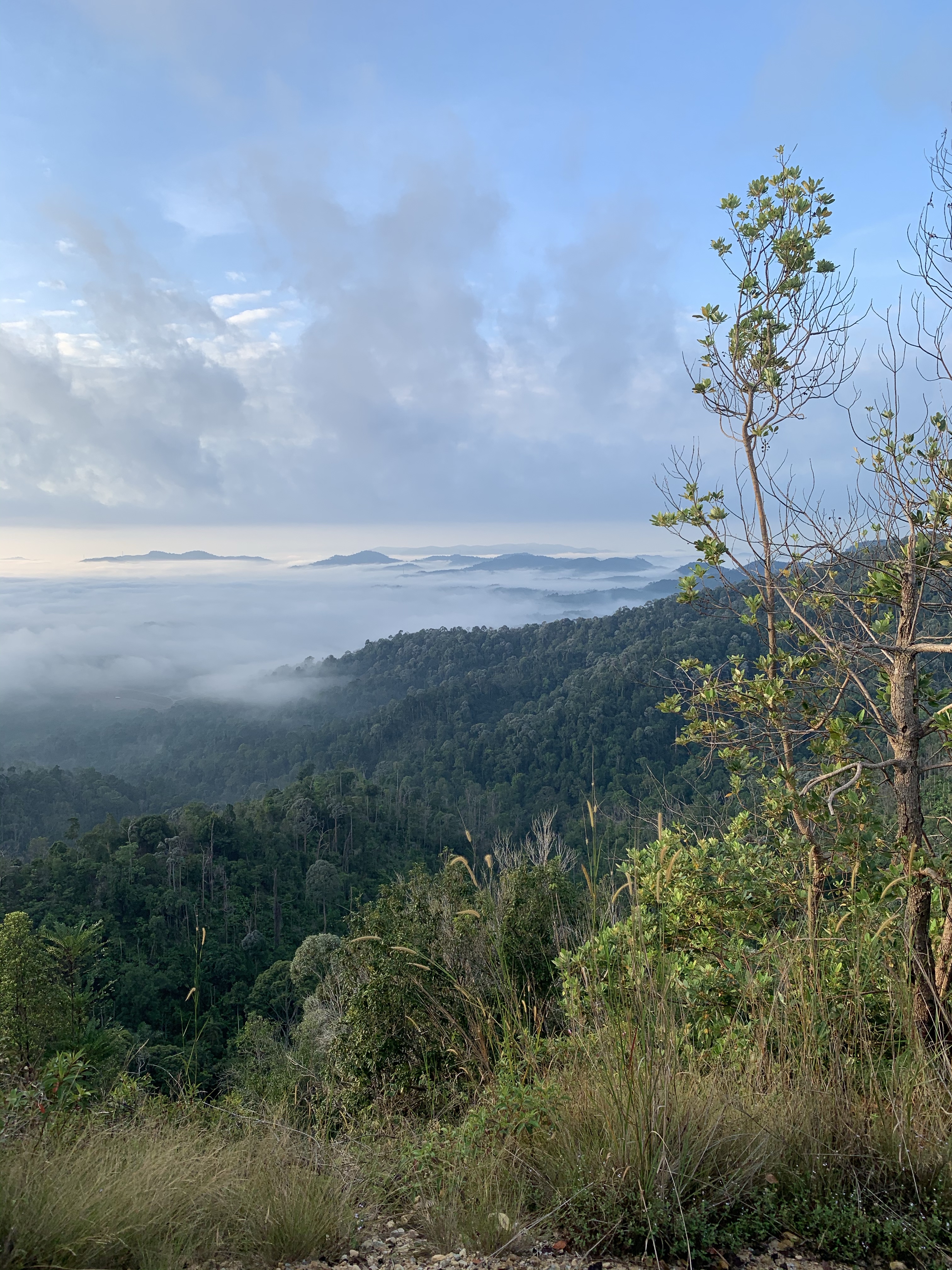
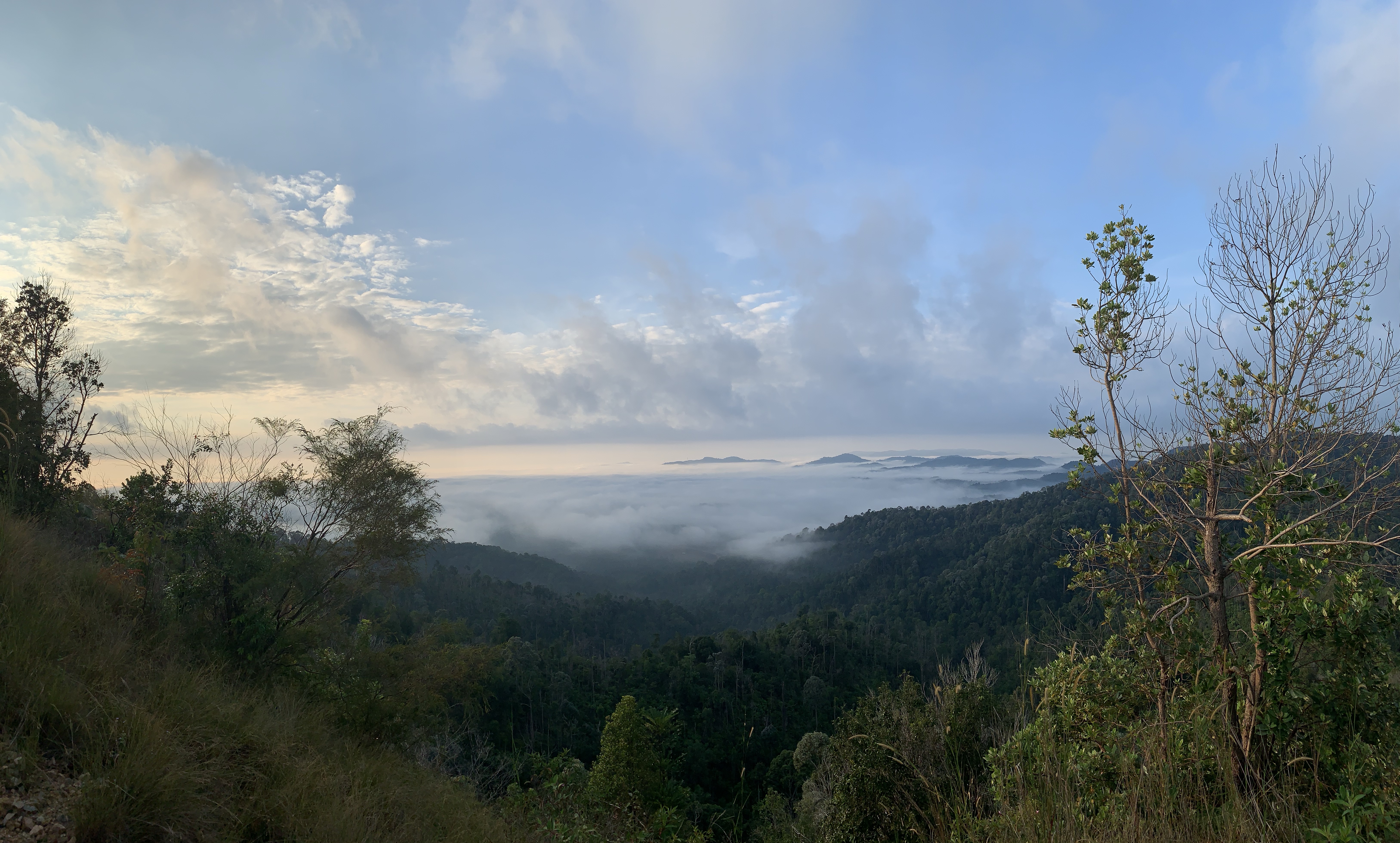
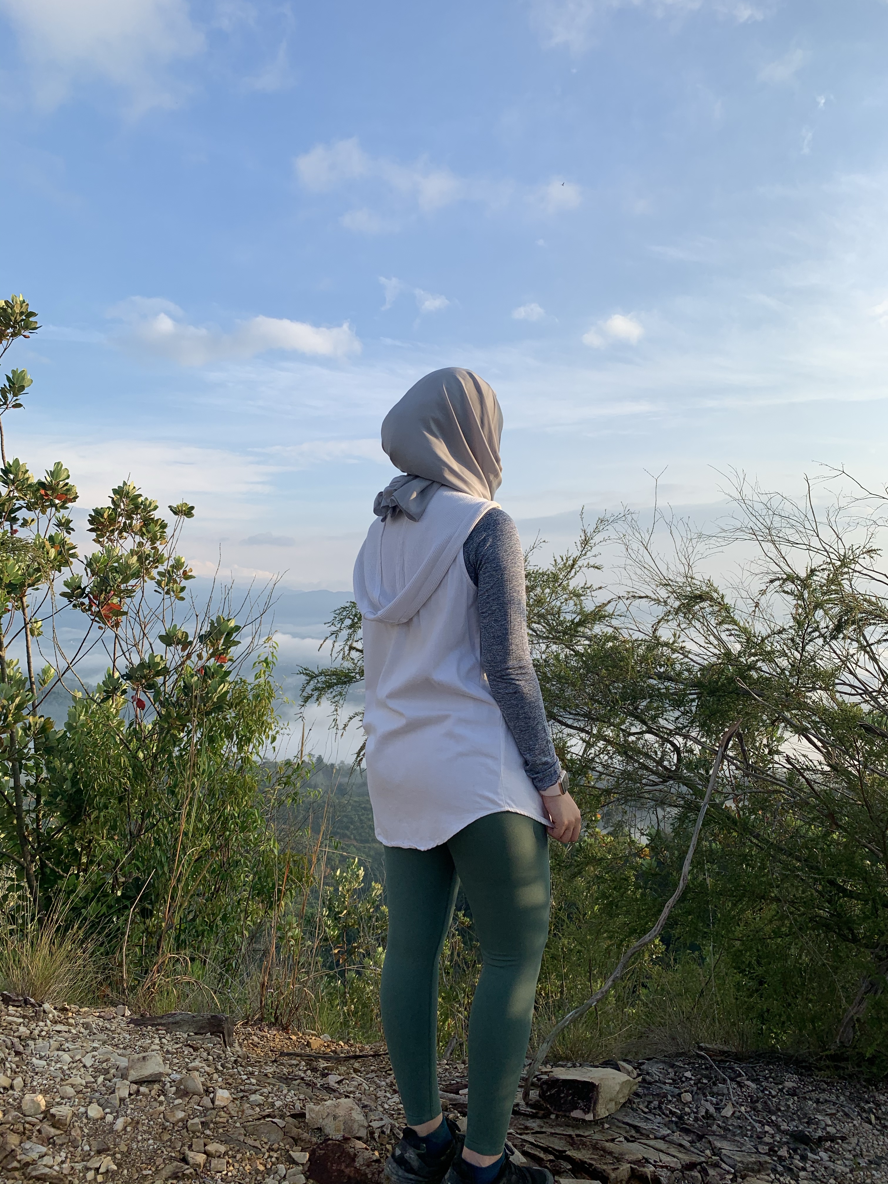
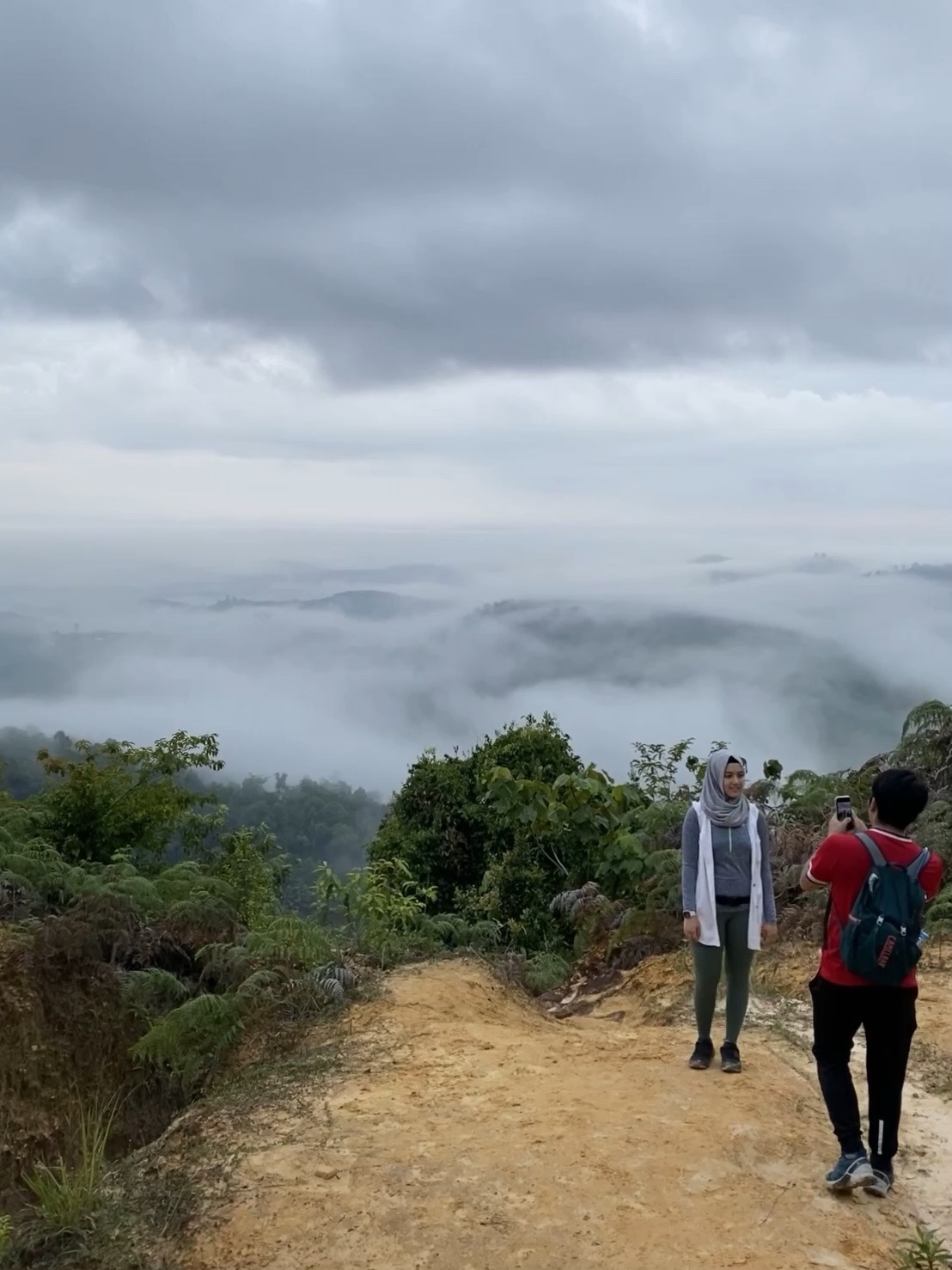
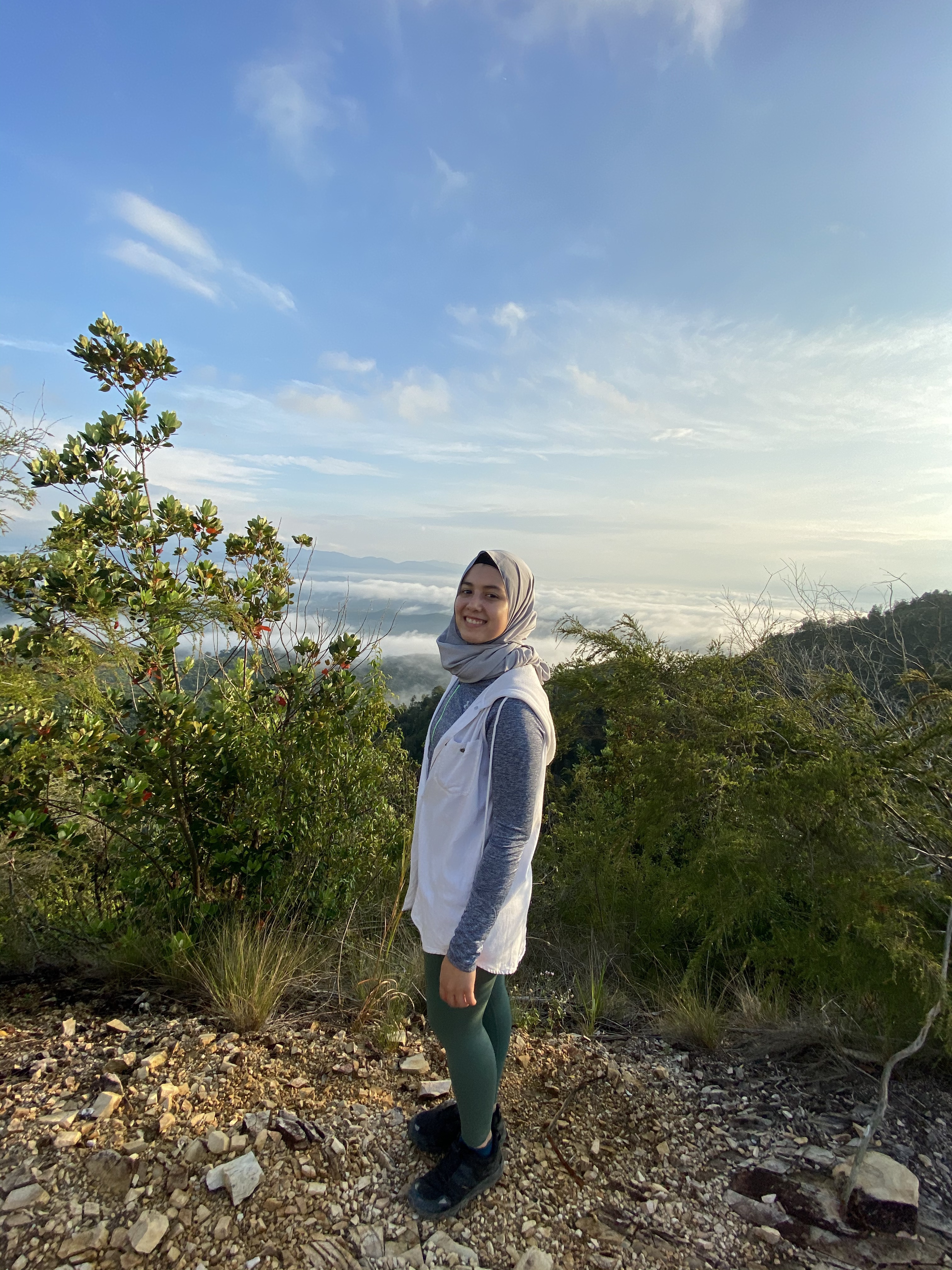
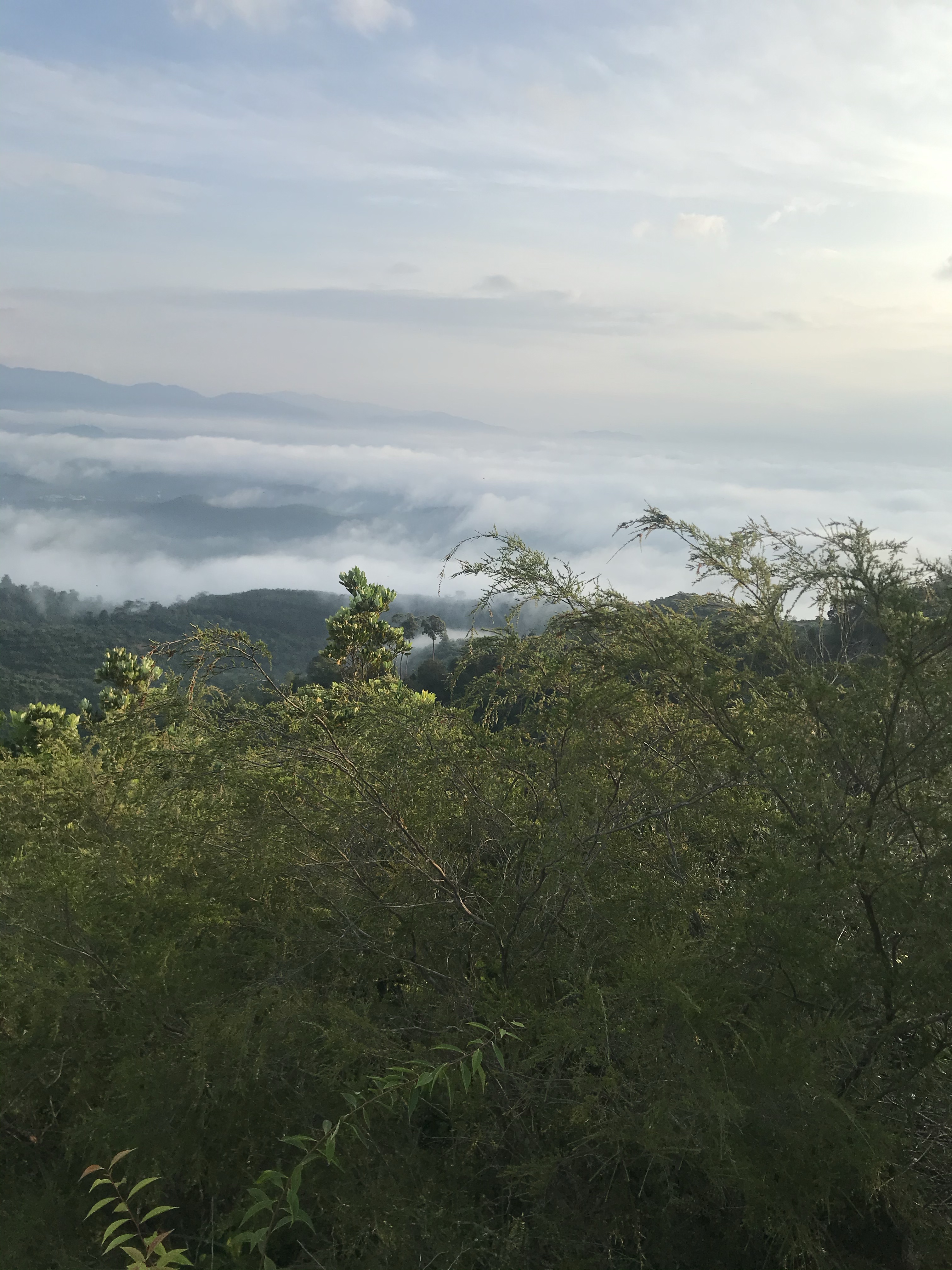
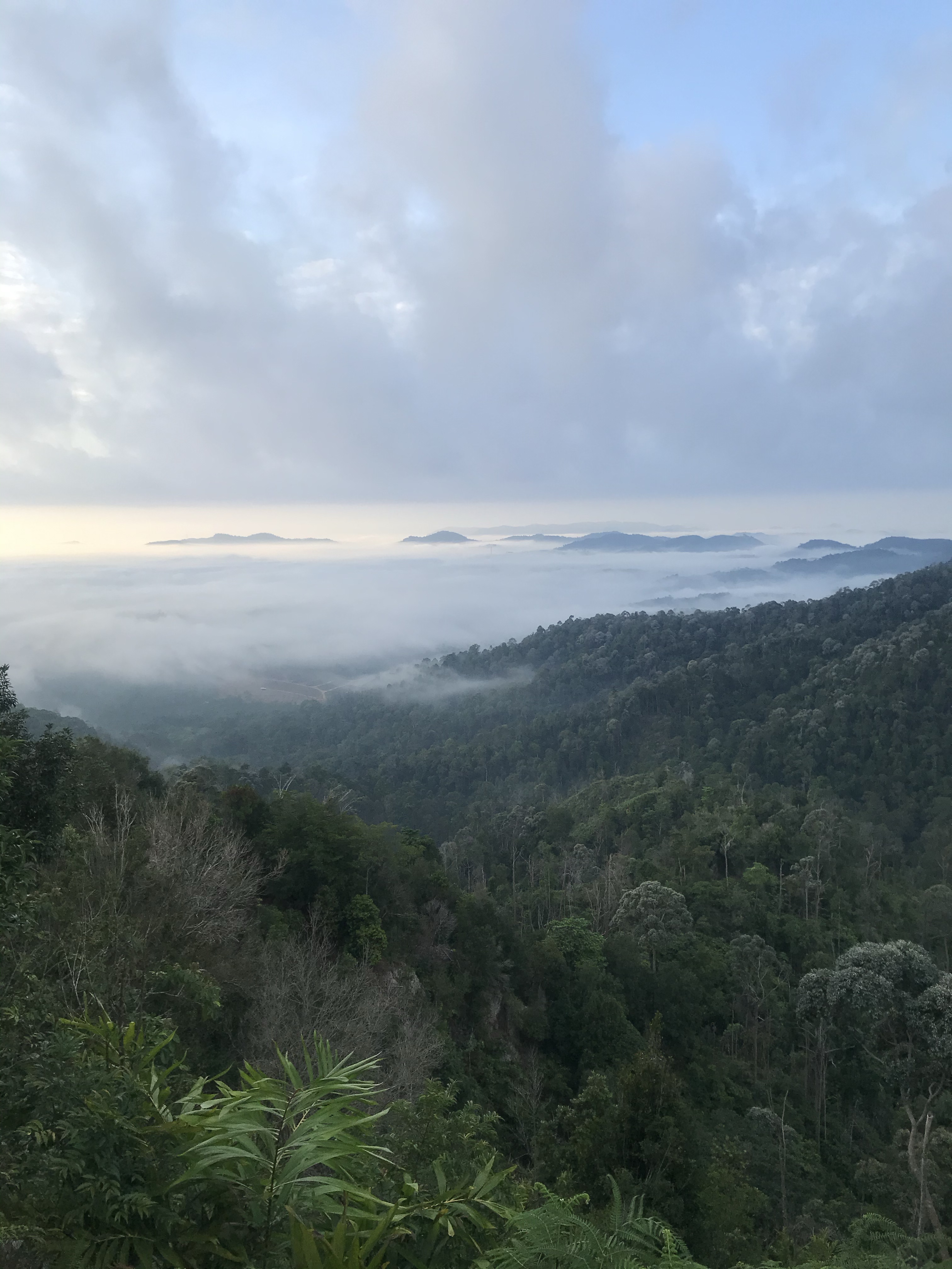
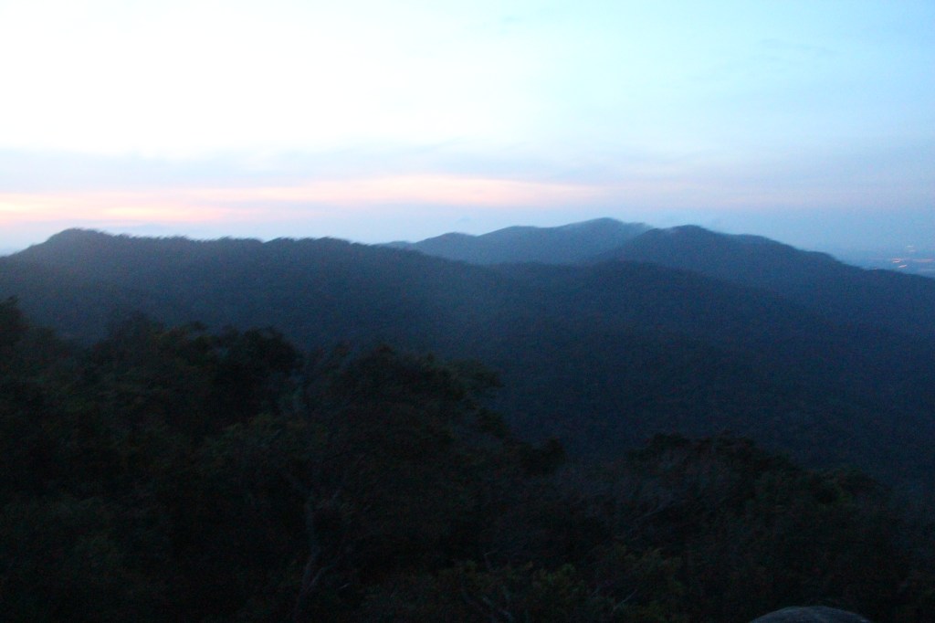
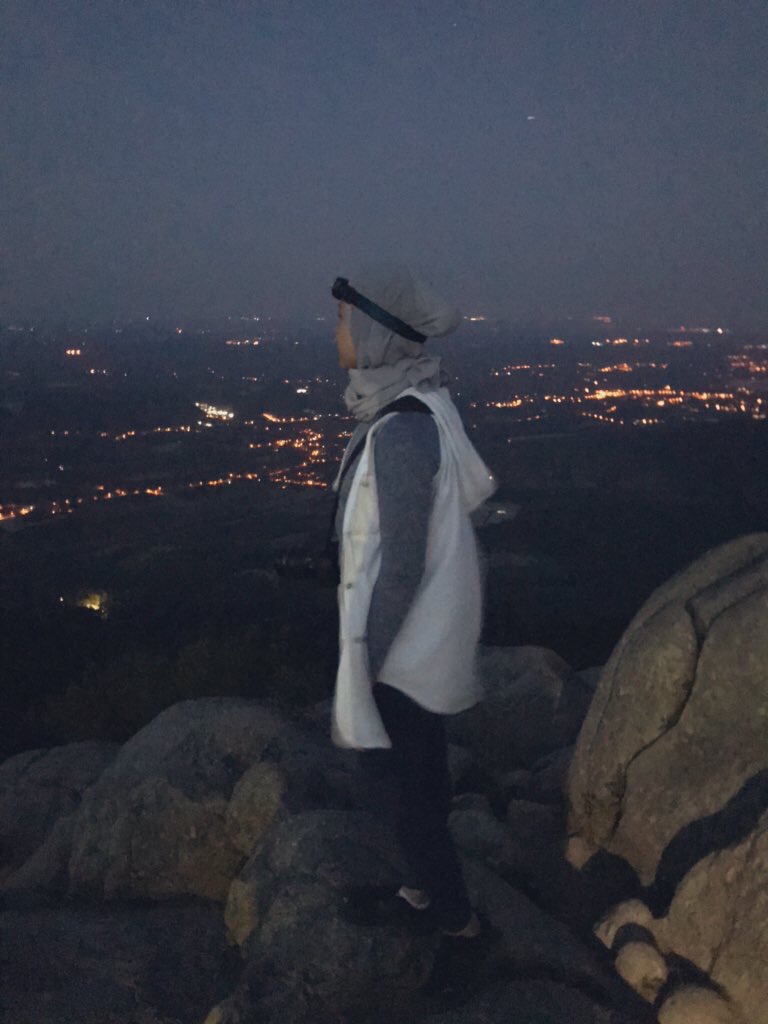
- Sunrise view is amazing. Gunung Datuk offers a 360 panoramic city view of Rembau district.
- Cool temperature. Although this does not make you sweat less, but going early in the morning gives you less respiration because of the low temperature.
- You’re more motivated because you don’t know how steep the trail is in front of you. Some people get demotivated easily when hiking steep trails, so this is definitely a major plus point!
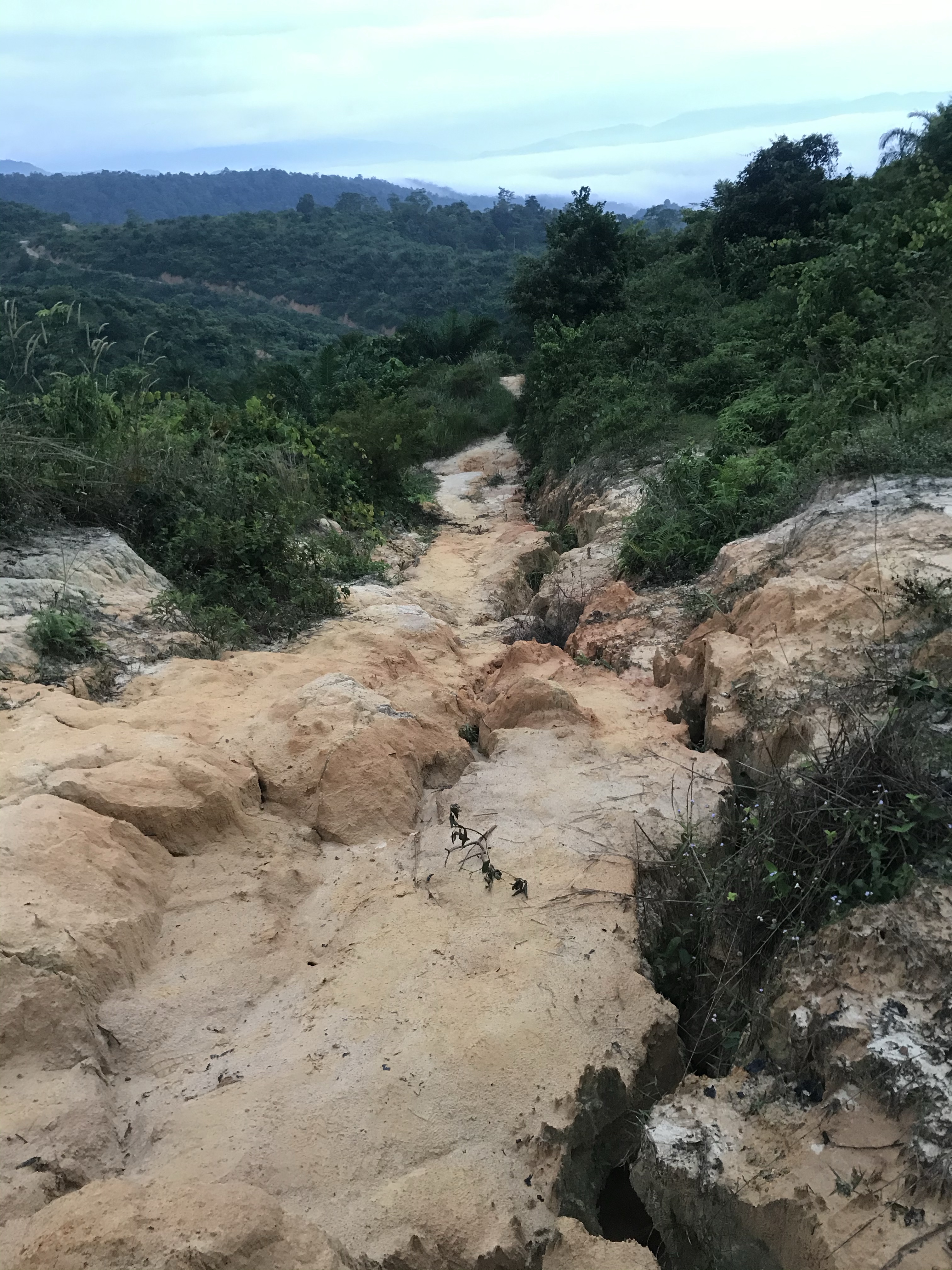
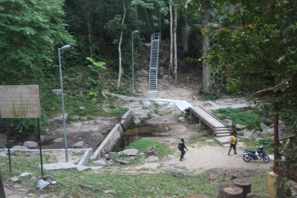
Here’s how the entrance looks like from the parking lot. Registration hut is located ahead of the staircase. Bear in mind, our pictures are taken mostly during our hike down, so these pictures are backwards.
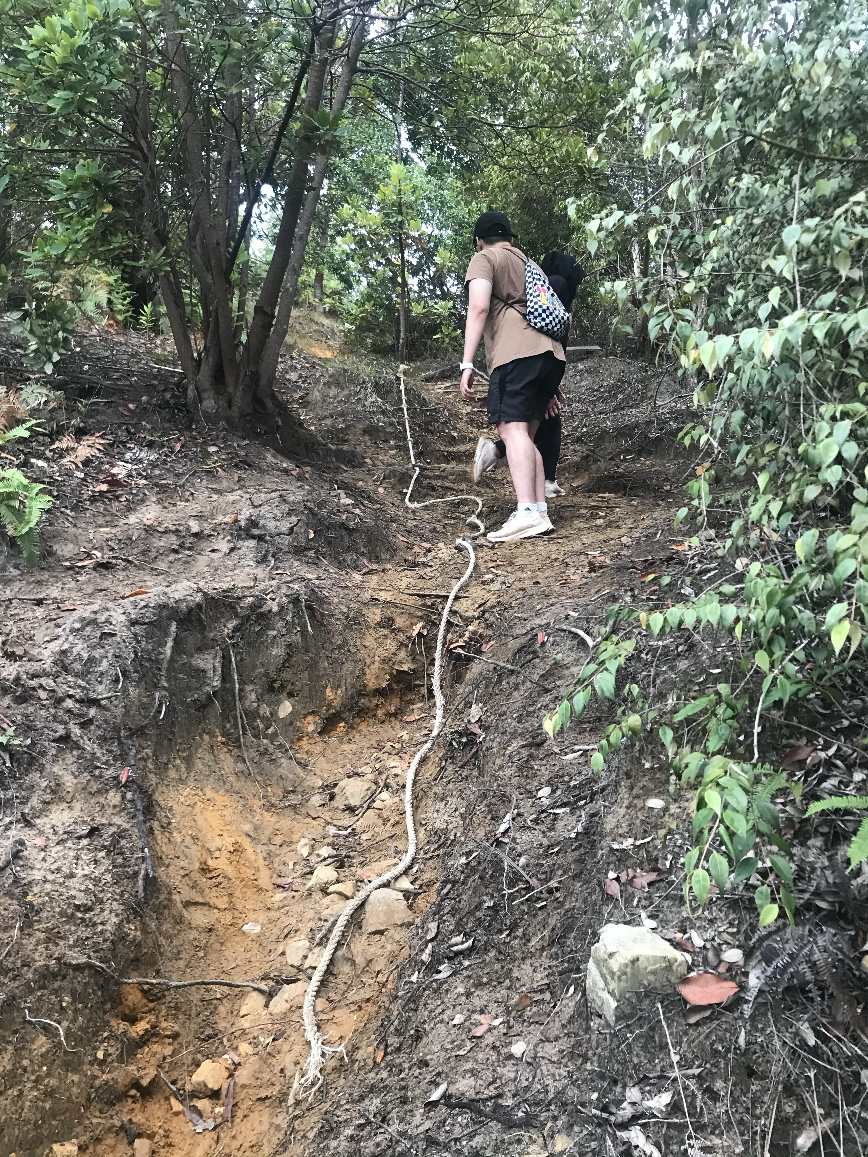
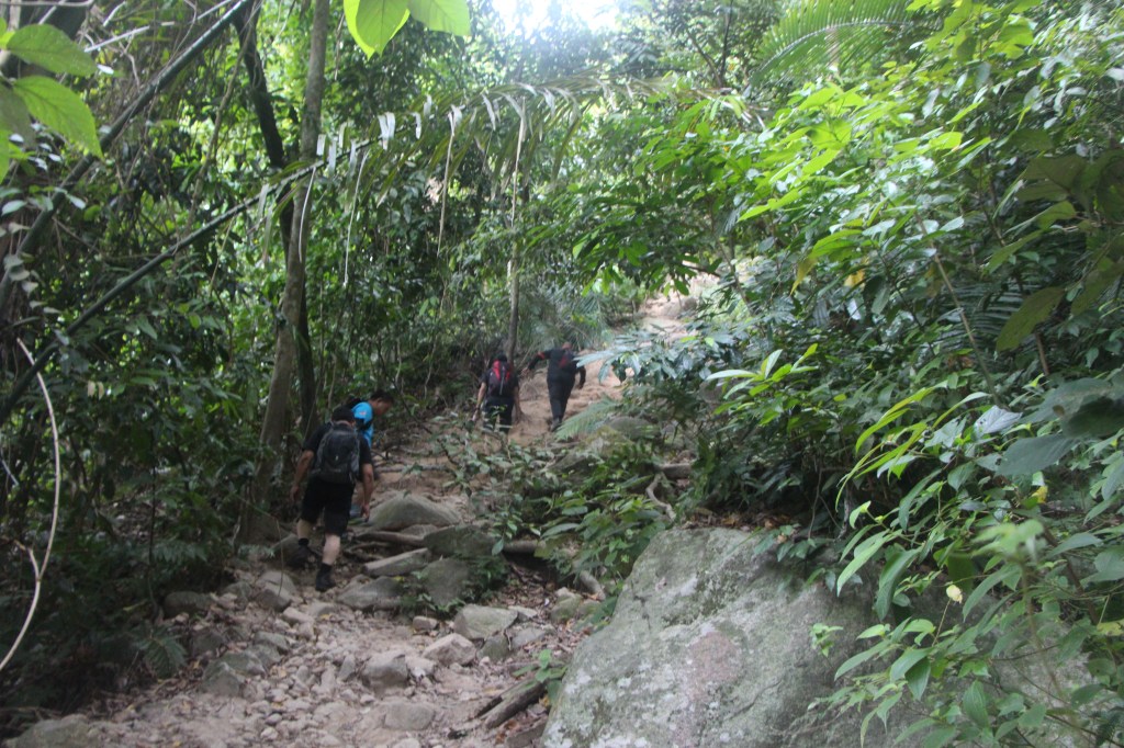
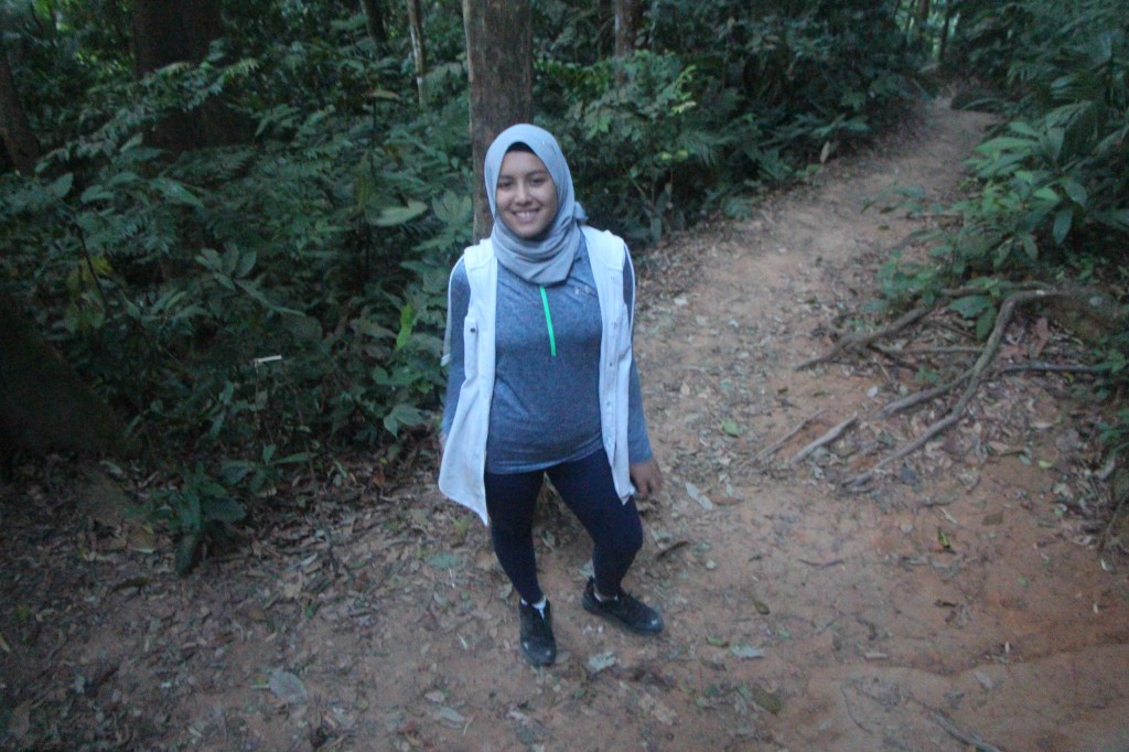
The trail situation right after entrance! Not steep yet as of this moment.
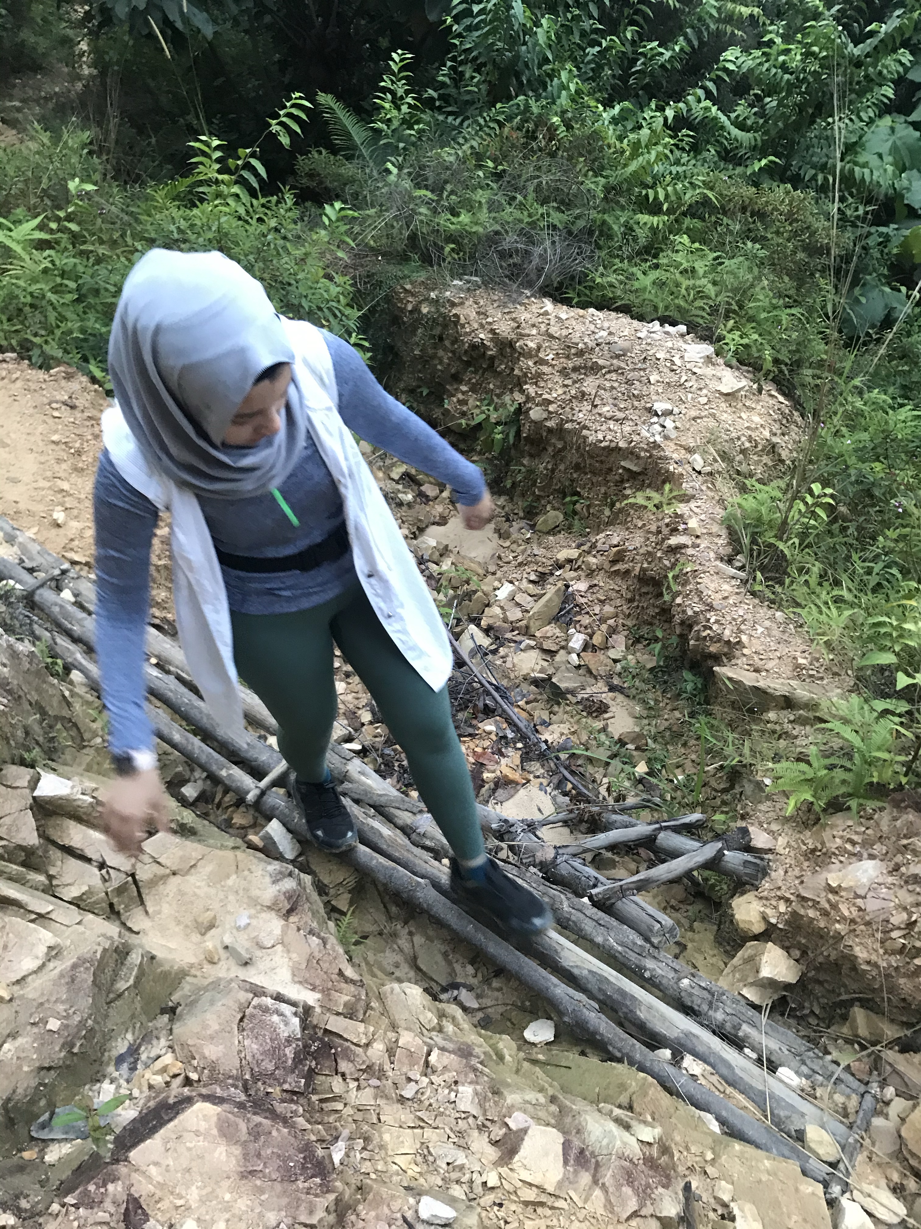
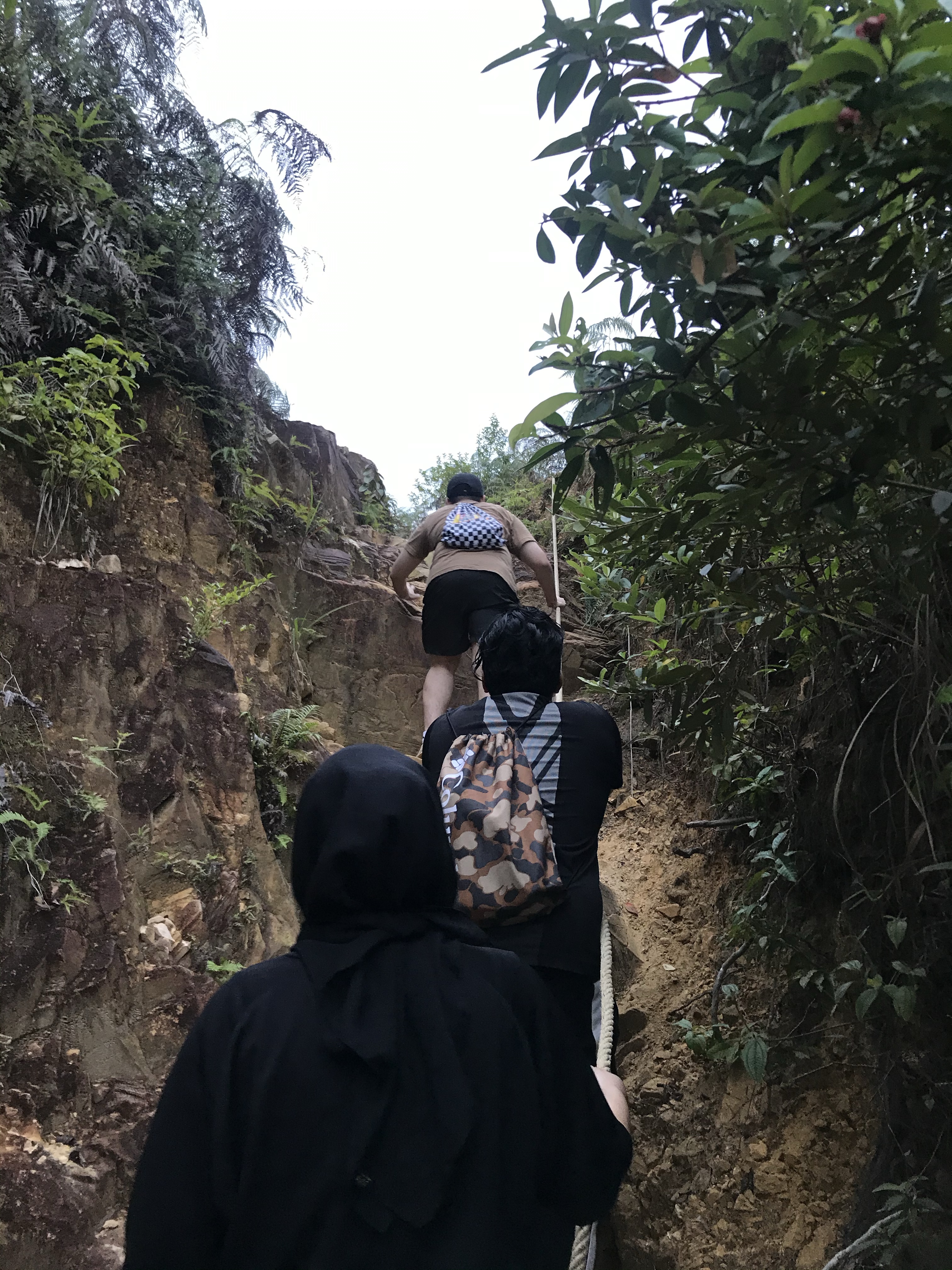
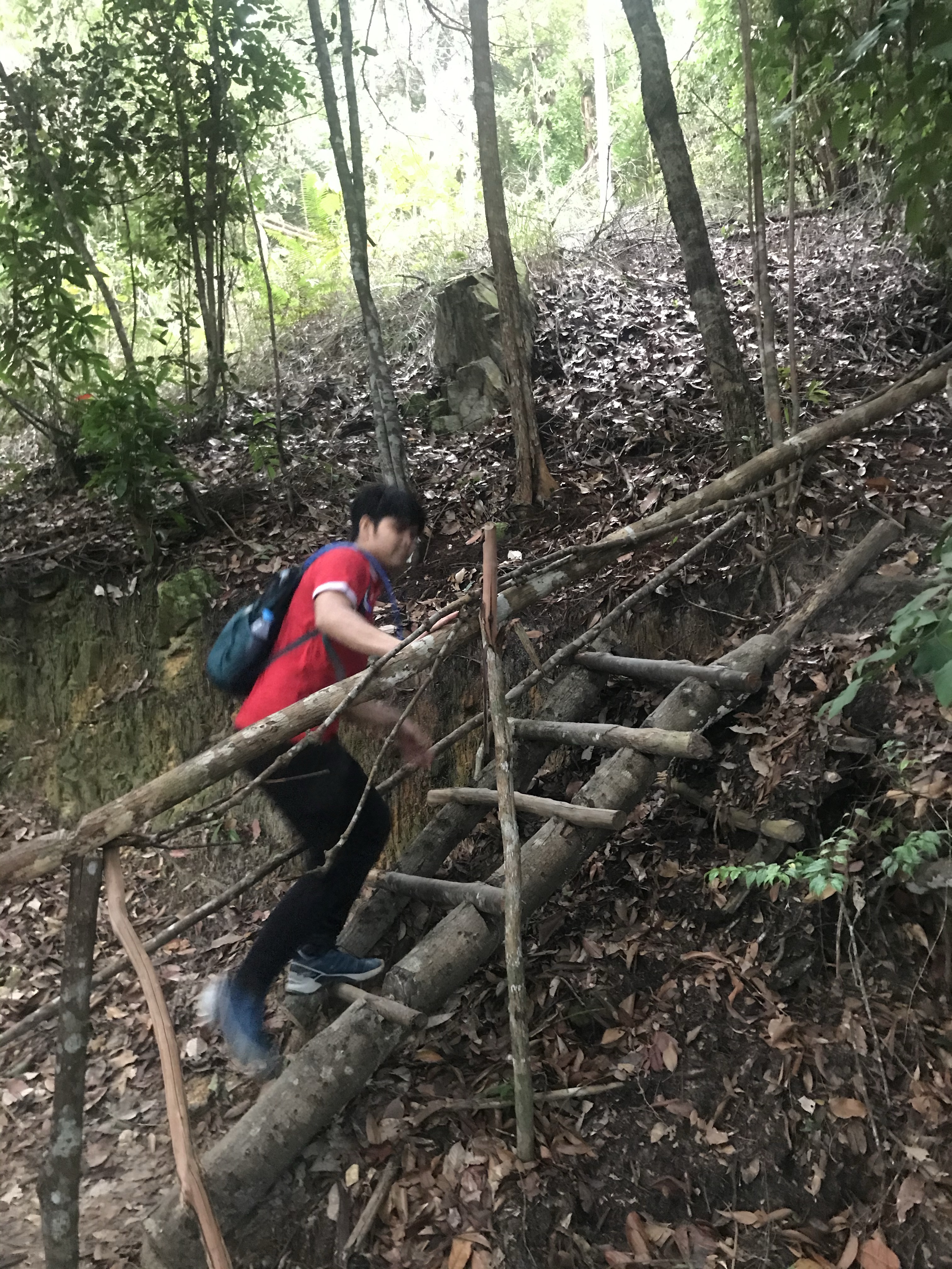
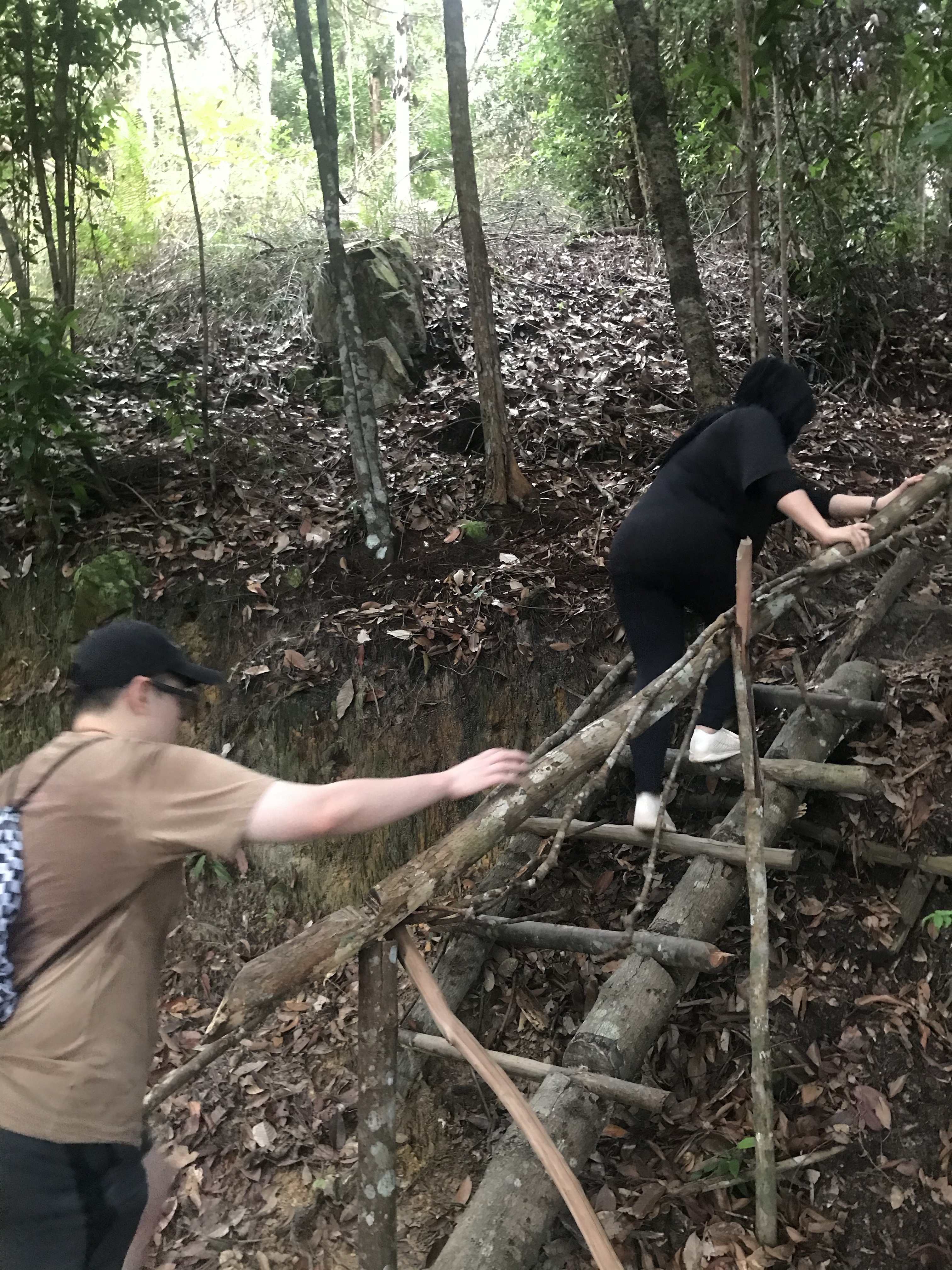
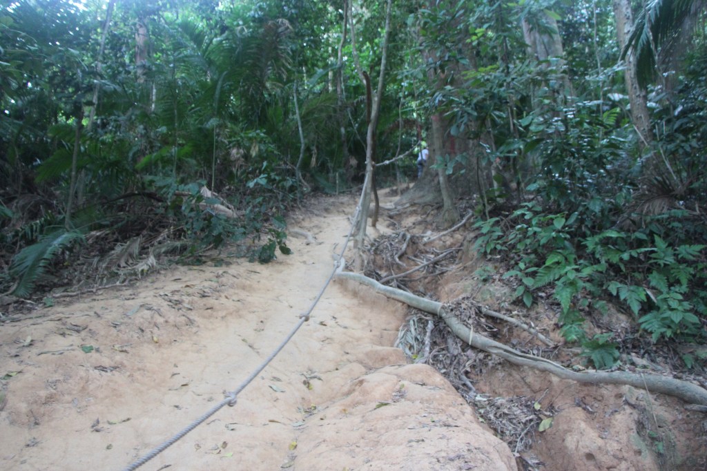
Ropes are available throughout the steep areas, so you’re pretty much in good hands.
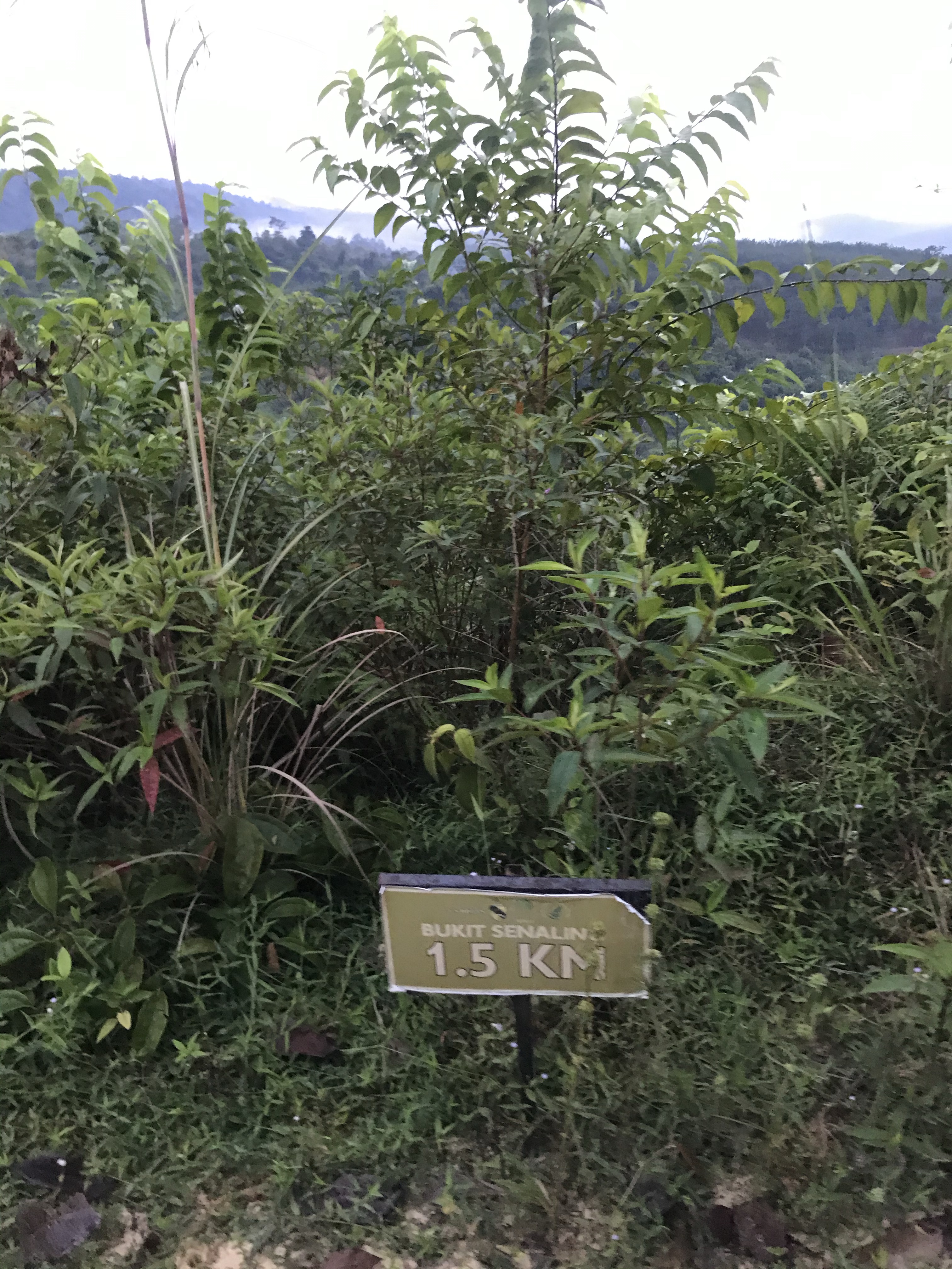
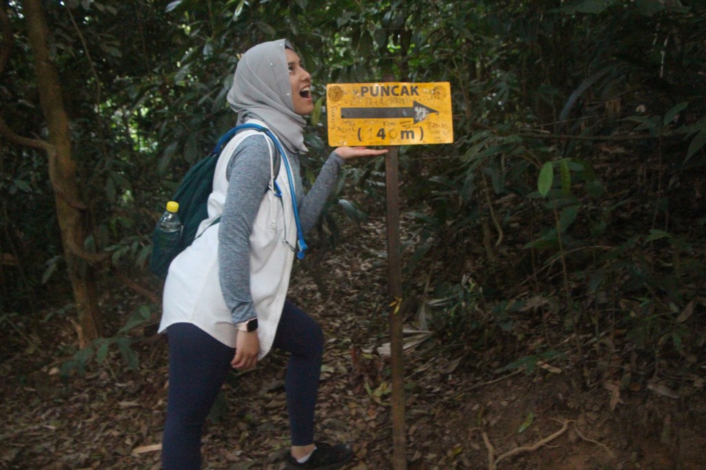
There are a few signboards indicating the distance towards summit, which can either be motivating… or demotivating. Your call.
Trail gets steeper after the first 0.5 km or so. Time to work on them legs! Or… getting some hiking poles can be very helpful too.
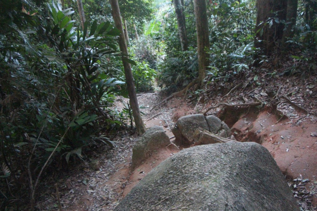
But, fret not! There are flat areas to help you recover… although, just for a short distance.
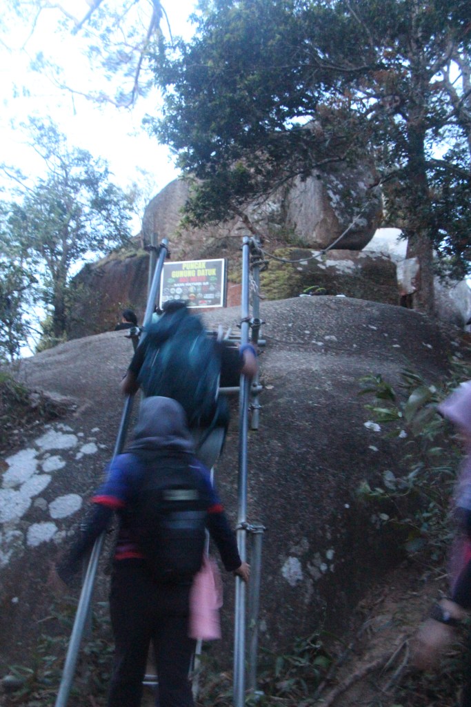
You’ll know you’re close when you see this staircase. You’re literally there.. already. Just a few more staircases to go.
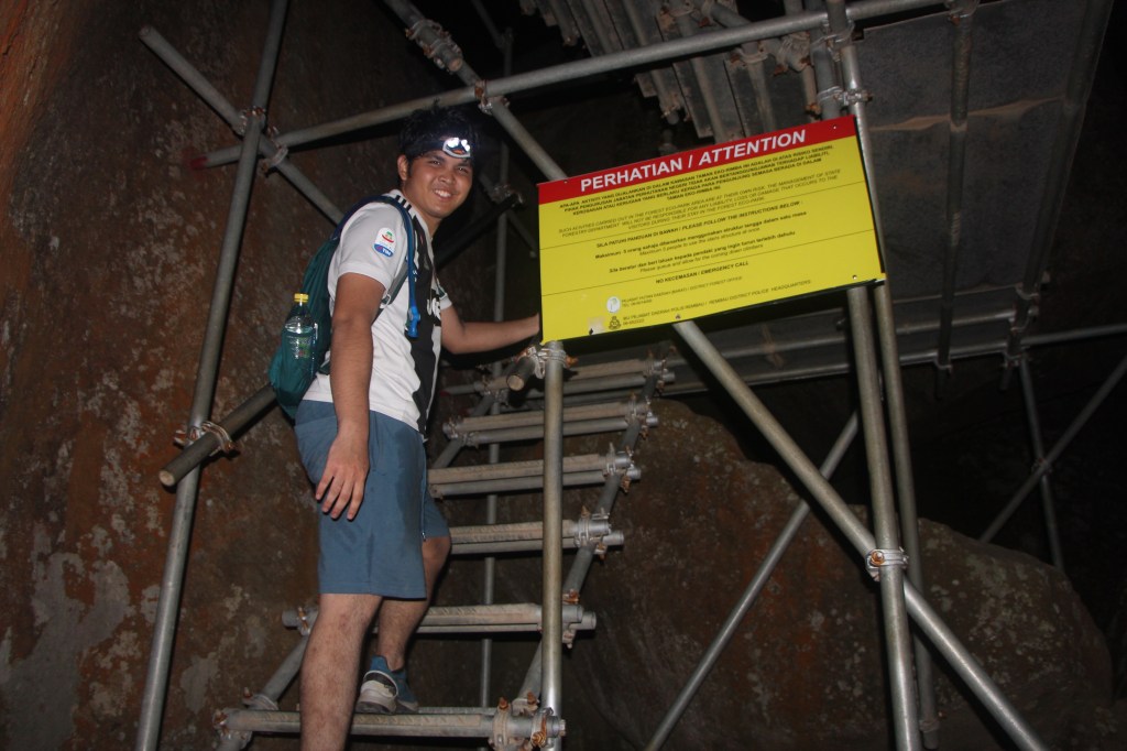
Also, don’t worry on the staircases as they’re very sturdy. We’re told that the staircases were recently upgraded because before that, they were just ladders. Like….whut.
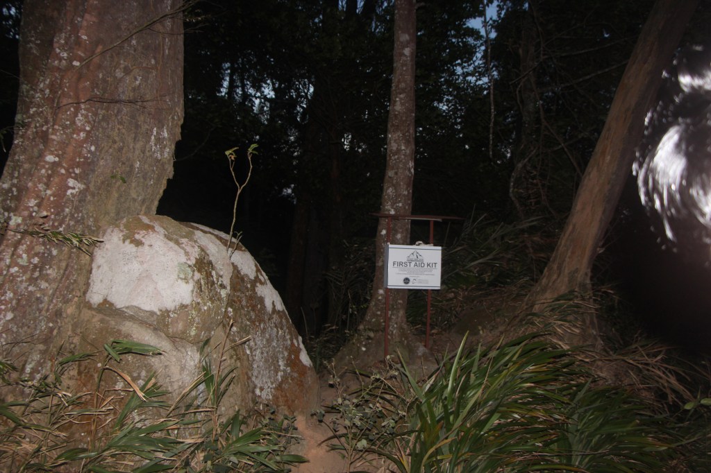
First aid kit to the rescue… for those who are injured. This is located right at the entrance to a campsite area. All just before the summit.
The campsite area. Once you’re here, you’re just a few steps away from the summit.
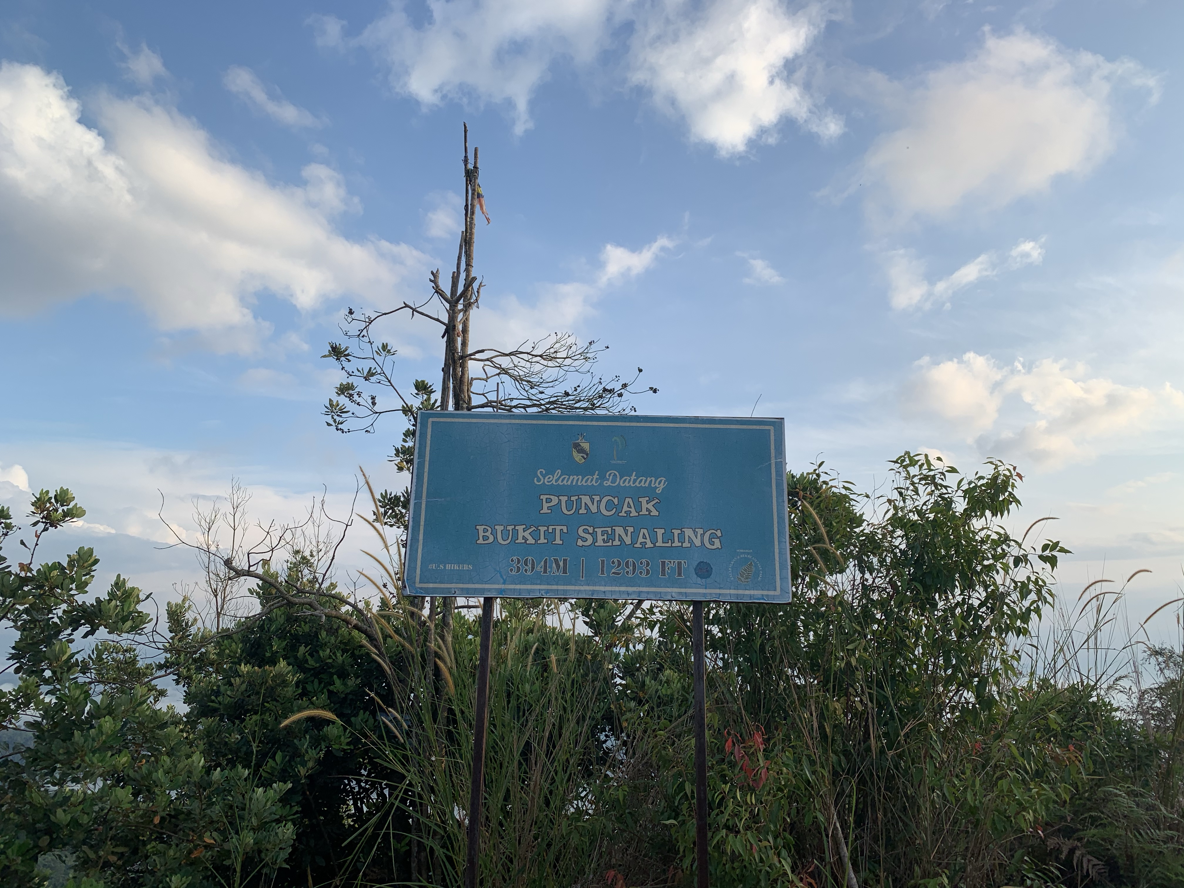
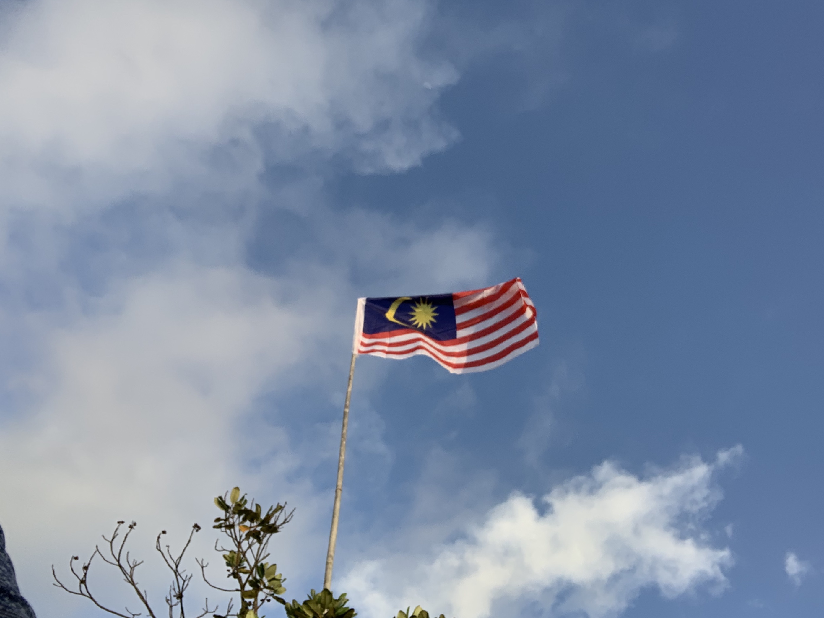
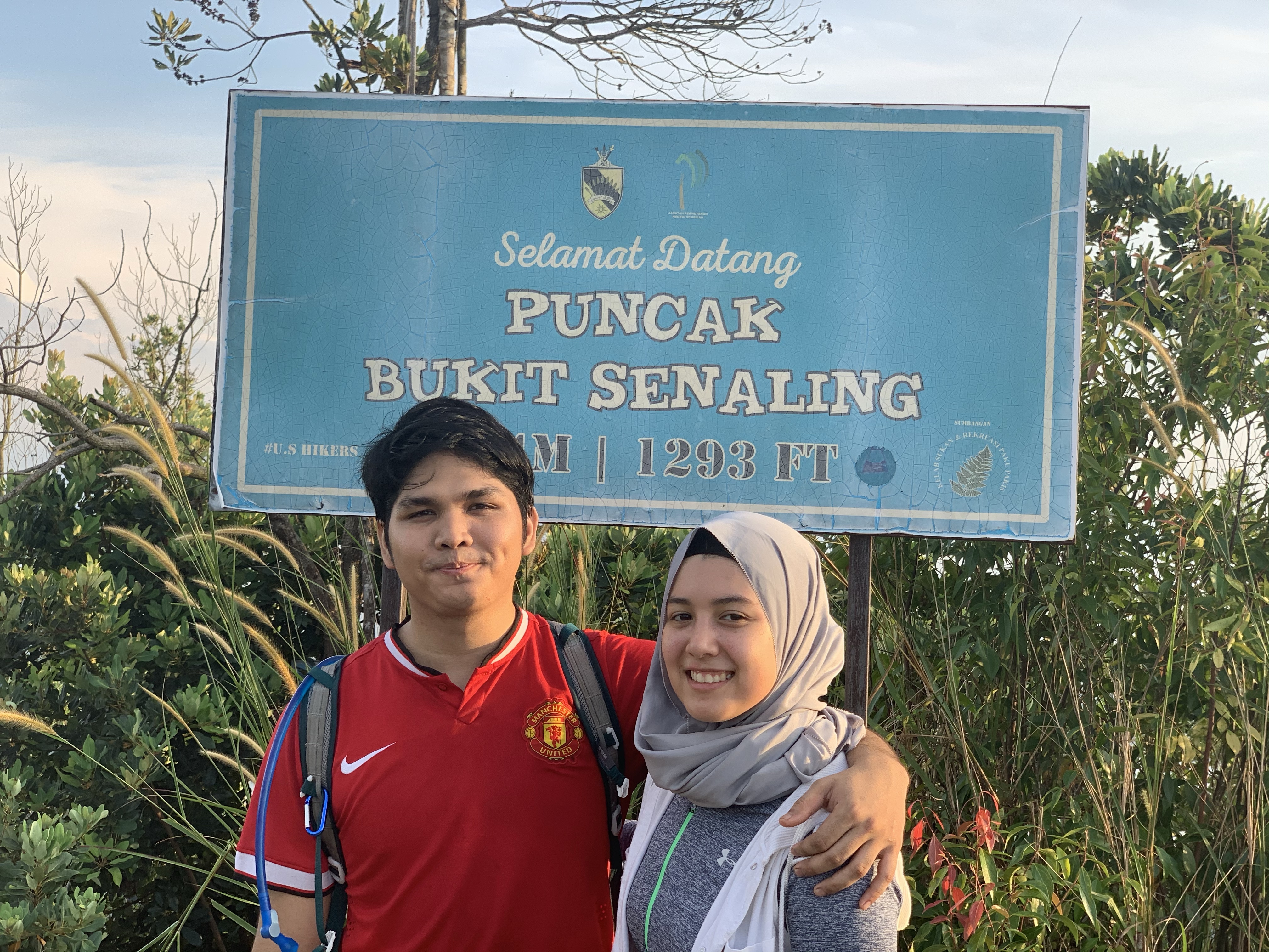
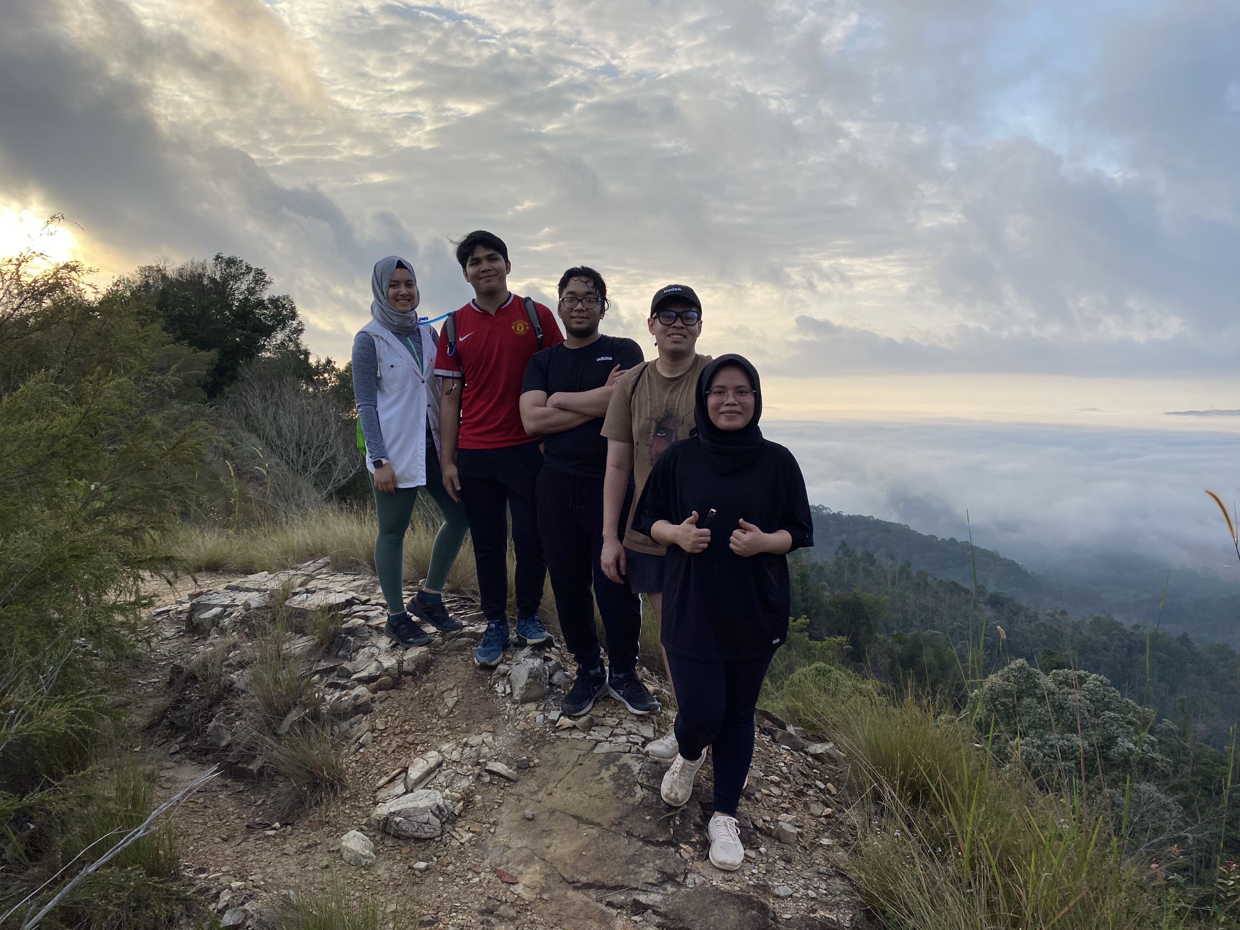
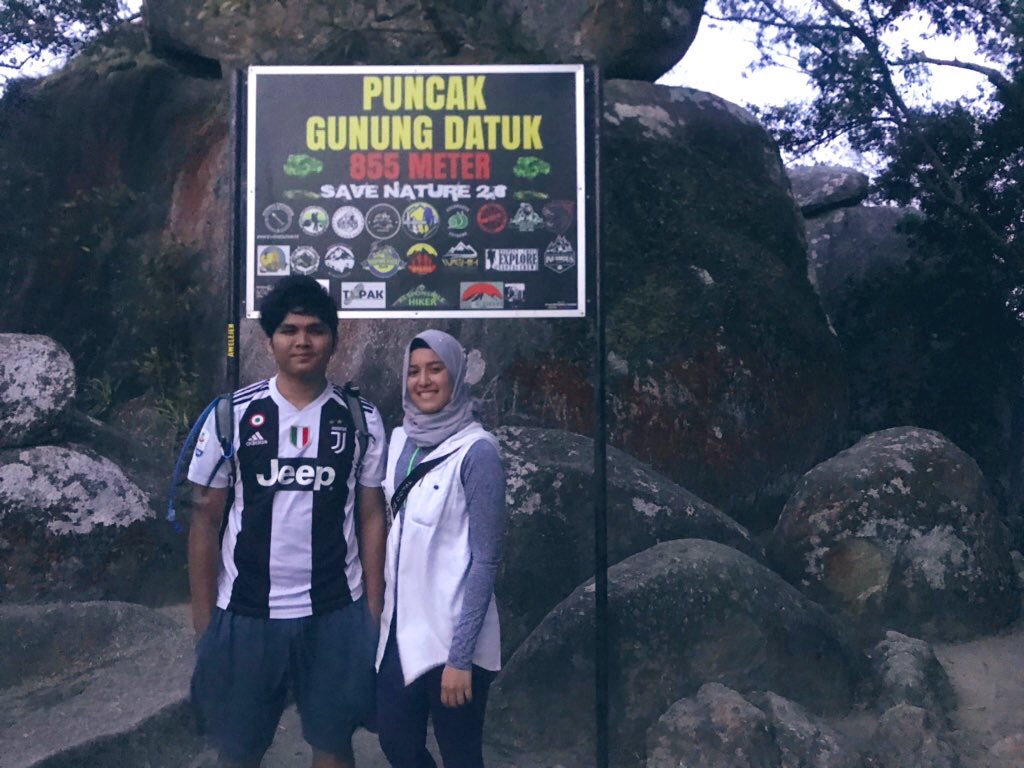
Ta-da! The signboard of dreamssssssss. However, this is not really the the ‘peak’. The highest you can stand on is on one of the Boulders located at the back of this signboard. However, hiking out of the jungle and into this exposed area can be a little dangerous during night time and even sunrise as the wind is very, very strong. So, please be careful when hiking around this time.
On our very last staircase towards the boulder peak.
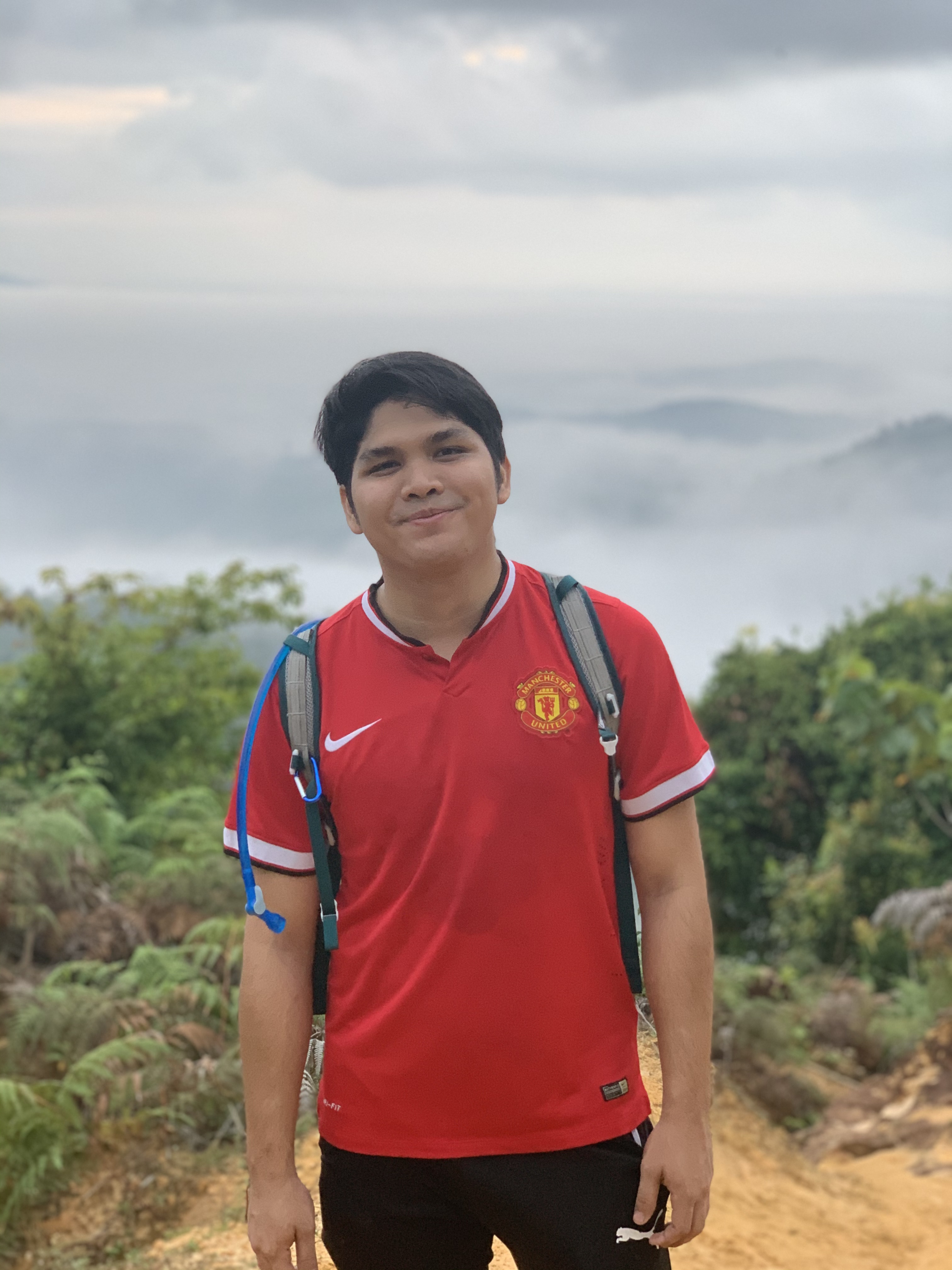
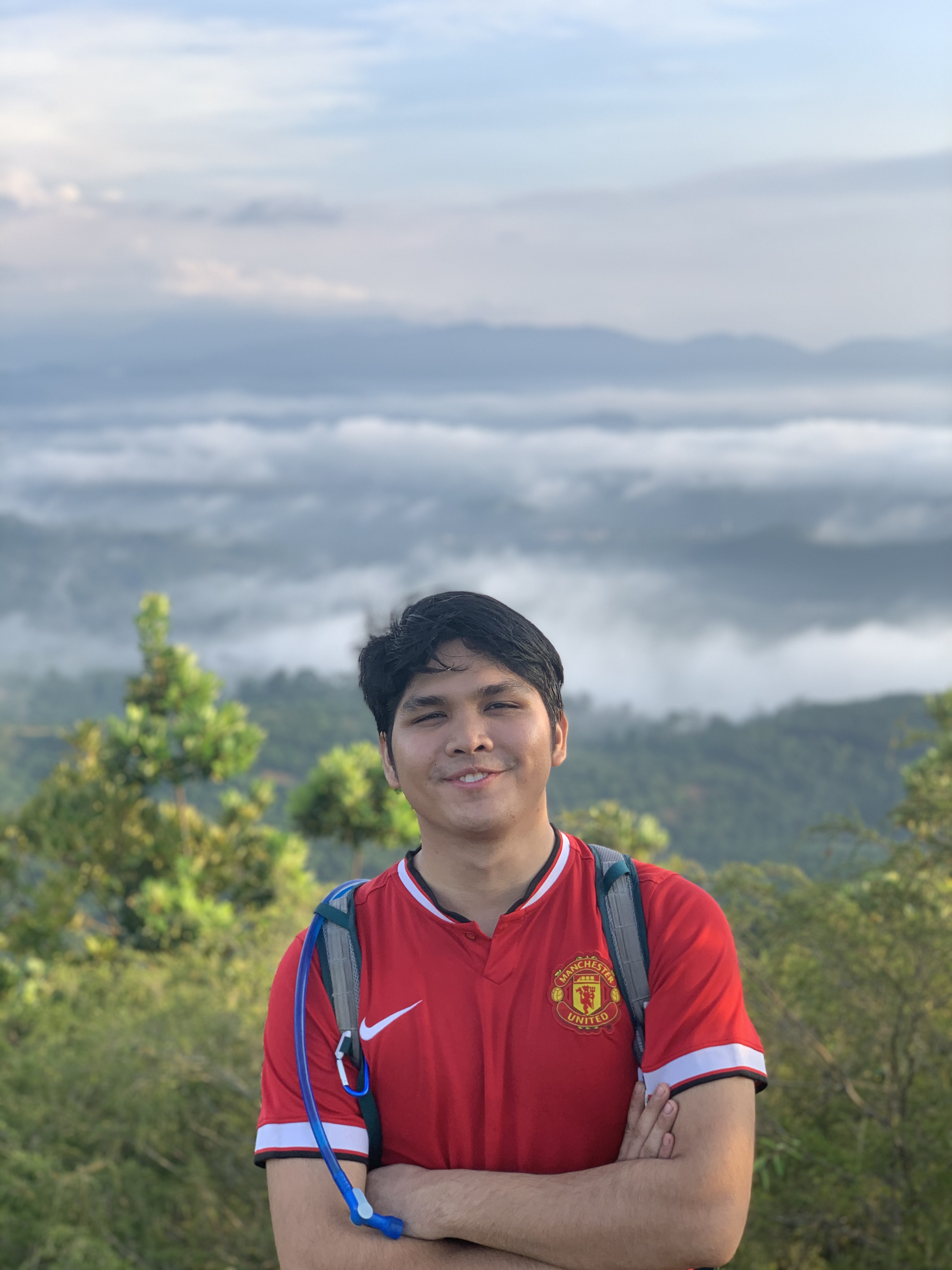
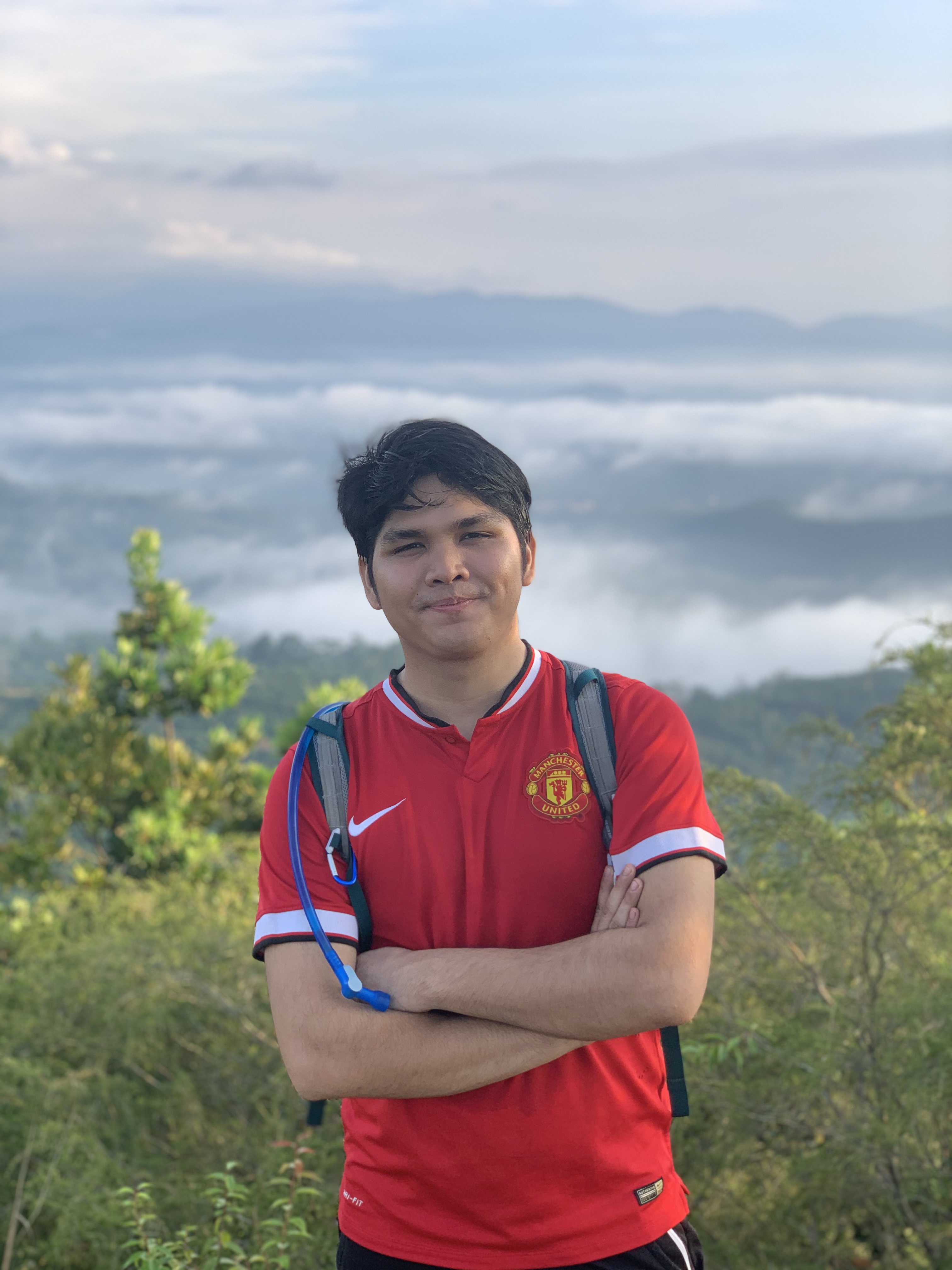
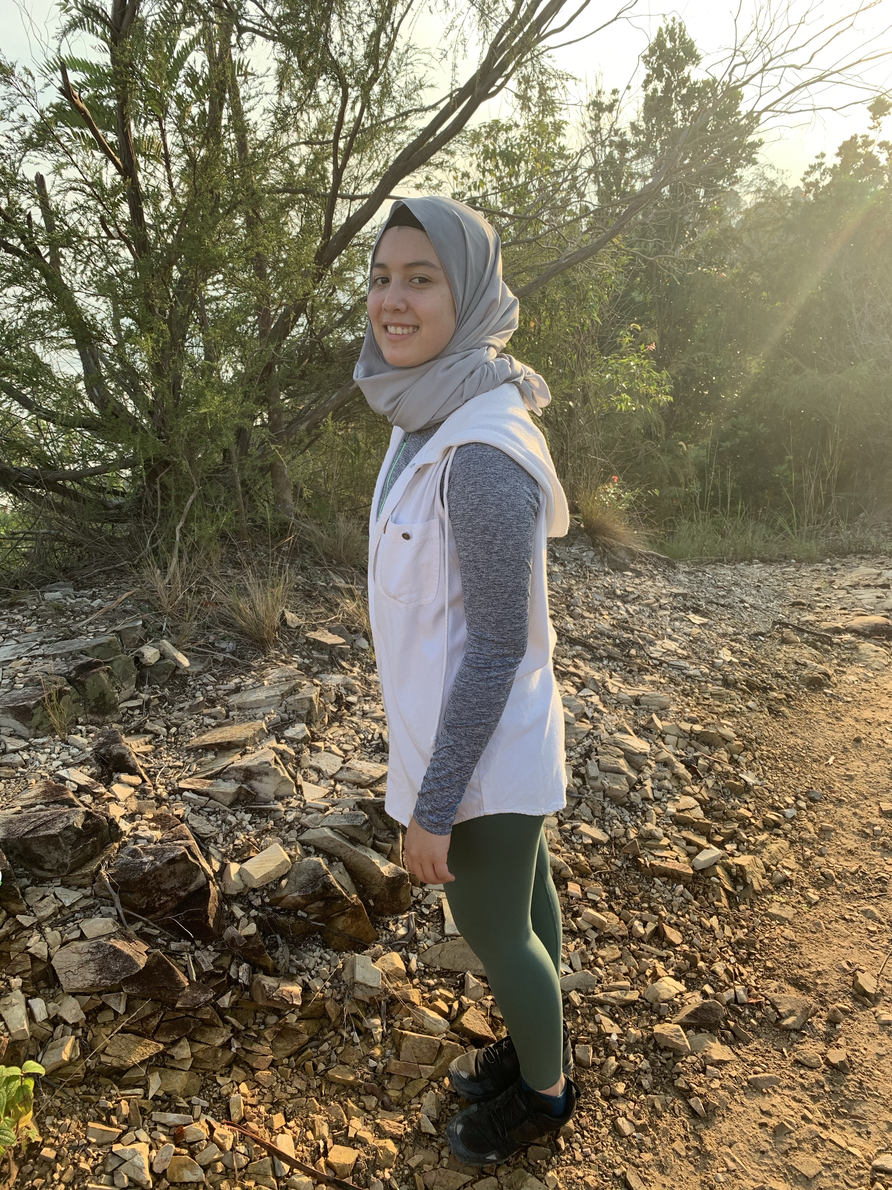
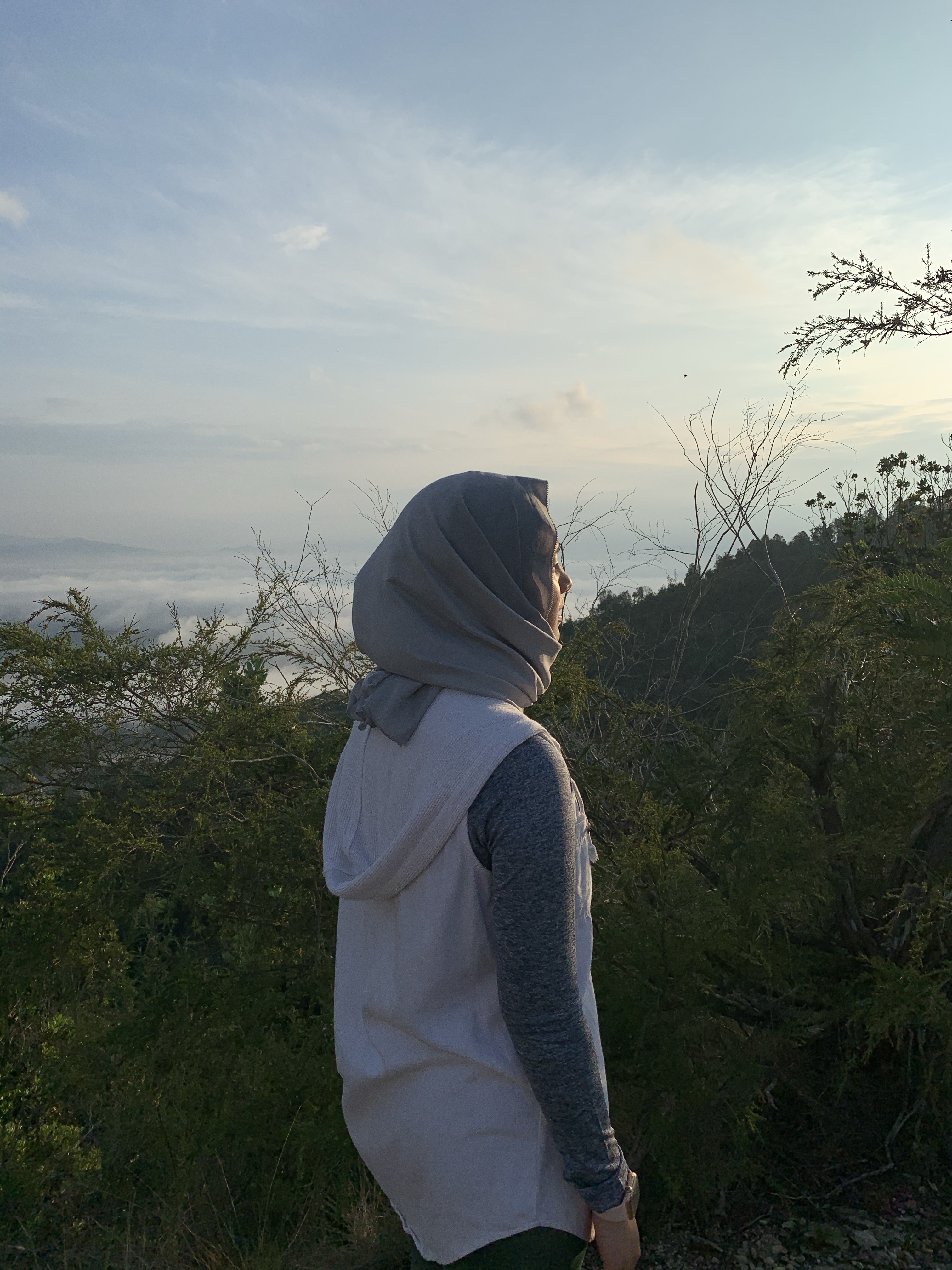
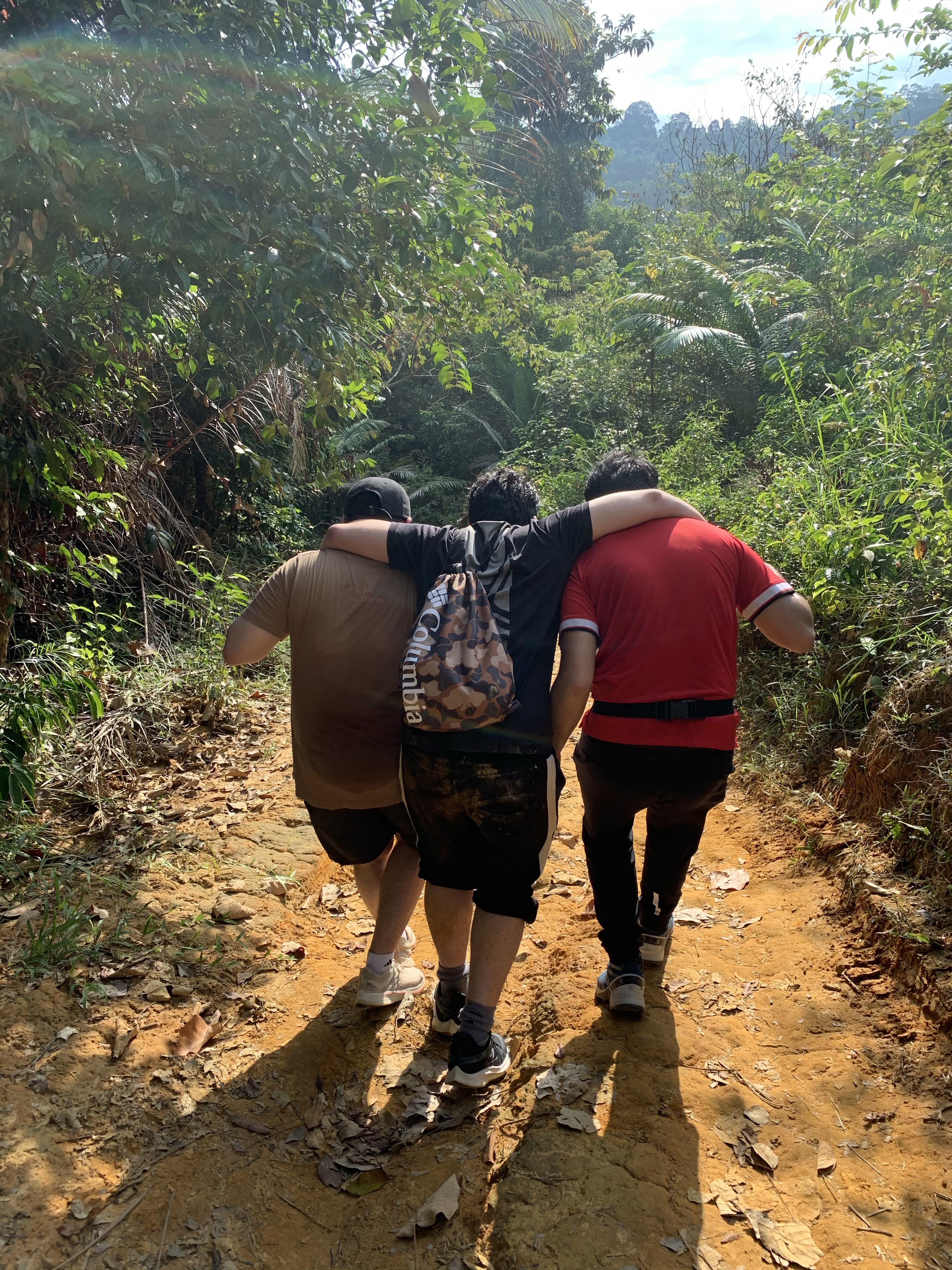
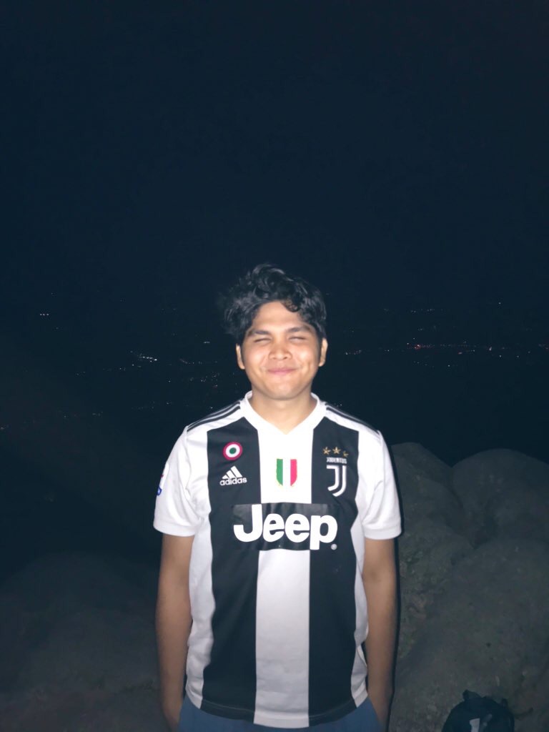
Spamming some summit pics!!!
Then, after enjoying our sunrise view, and taking memorable pictures, we started hiking down at 7am.
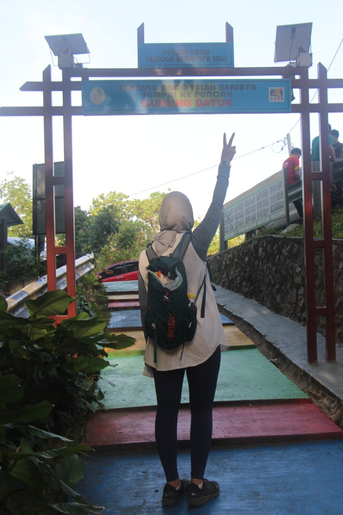
And…. the hike is done and dusted!
That’s it for now! Let us know what you think of this hike.