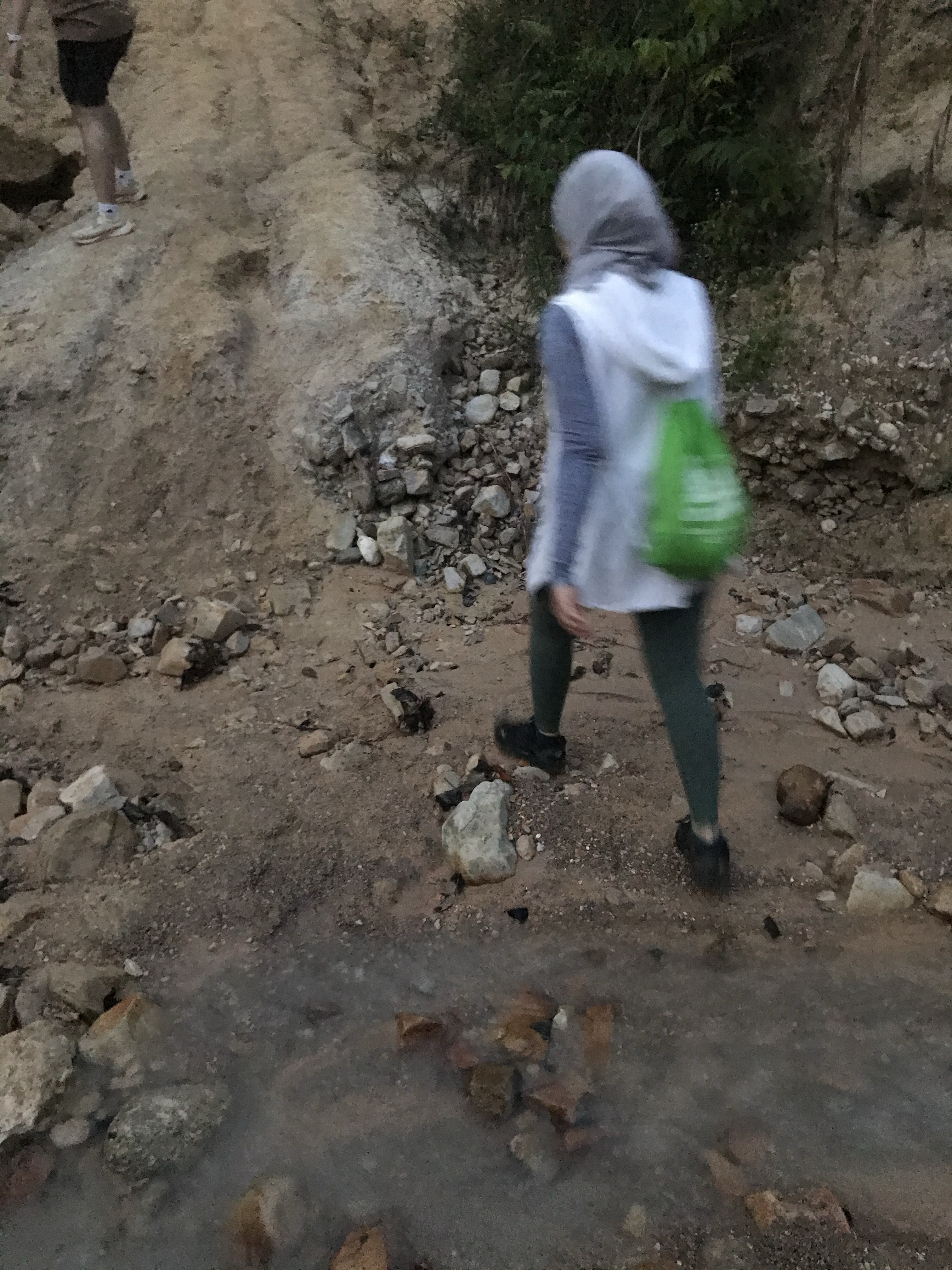
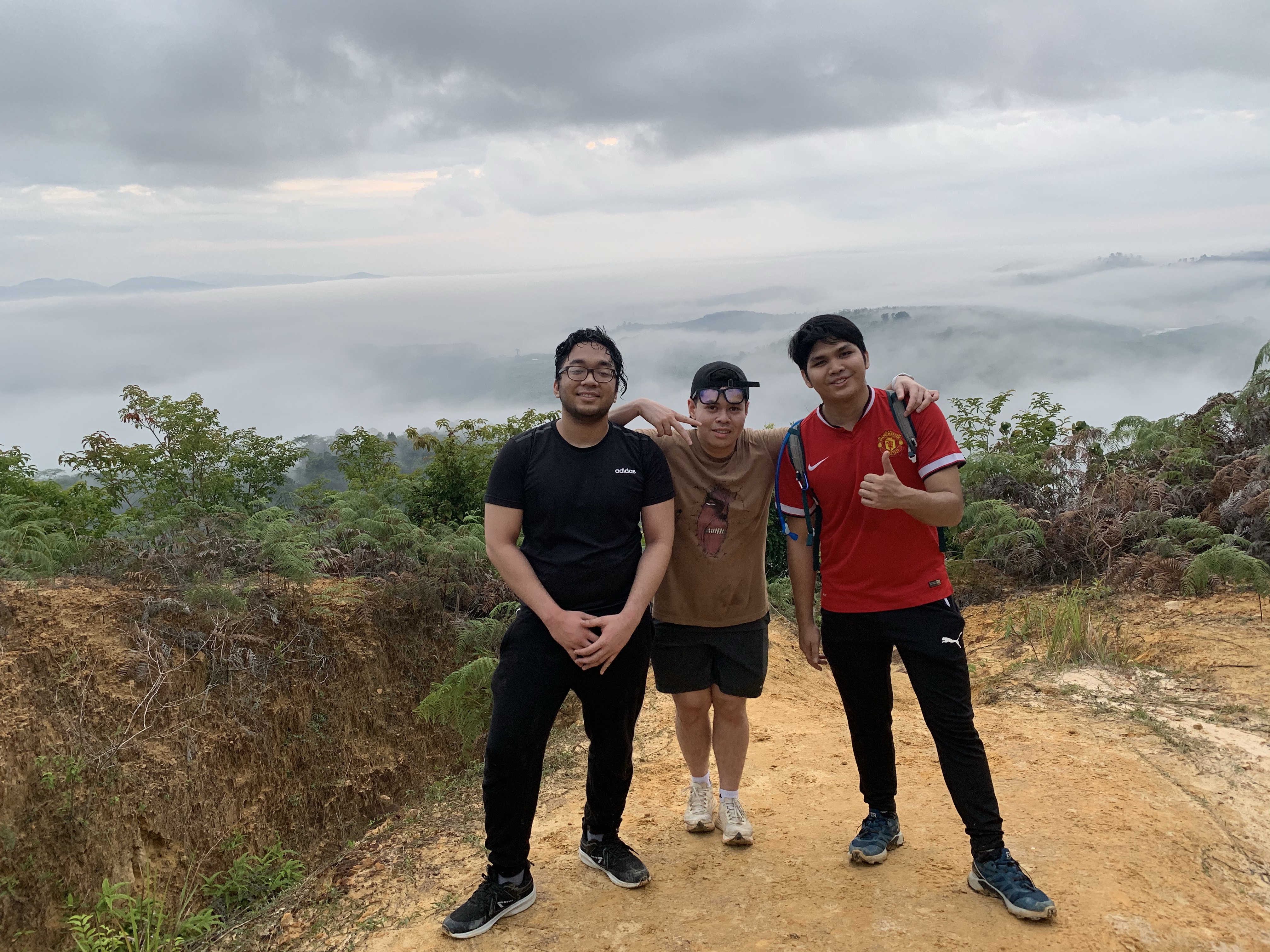
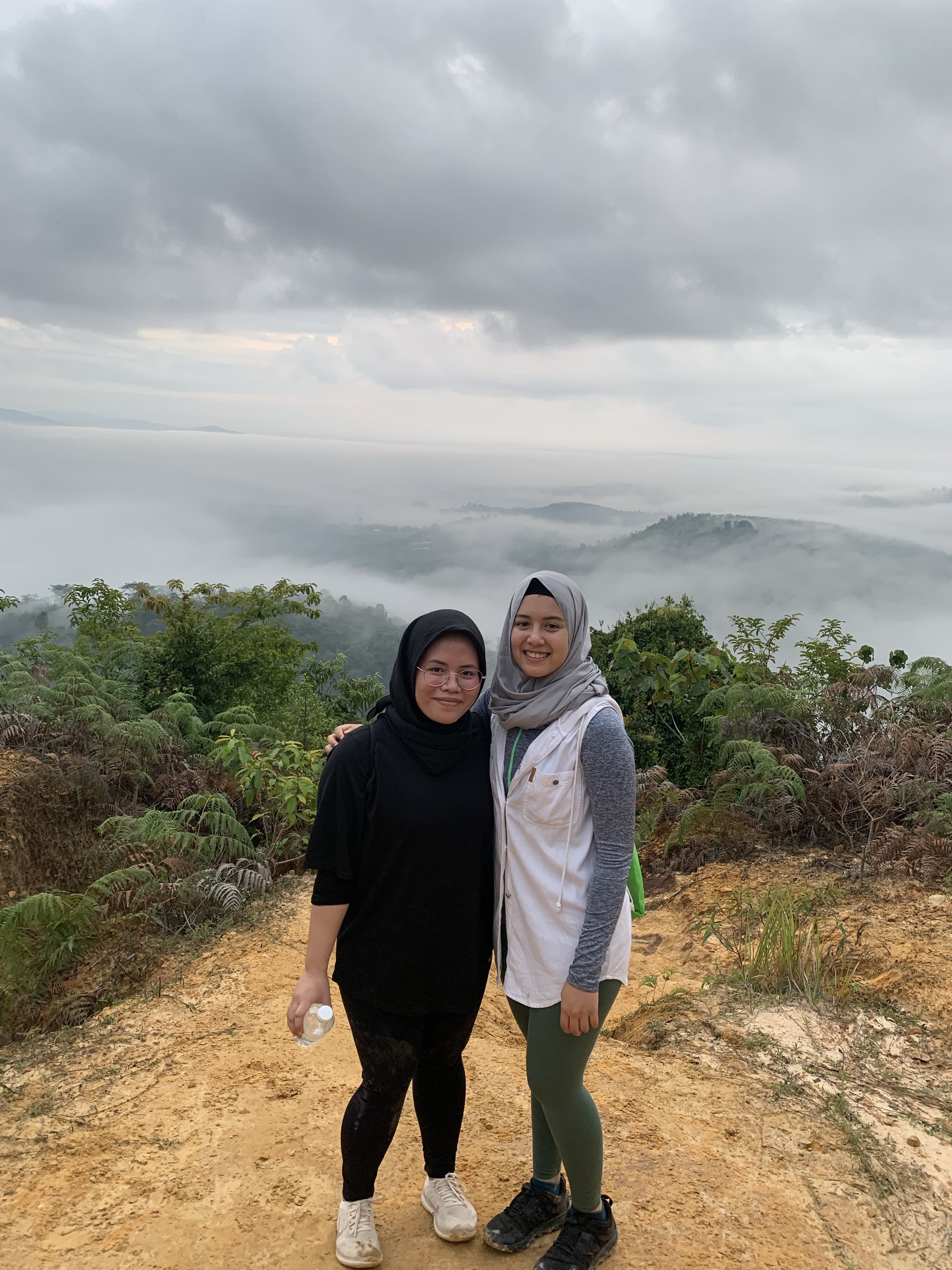
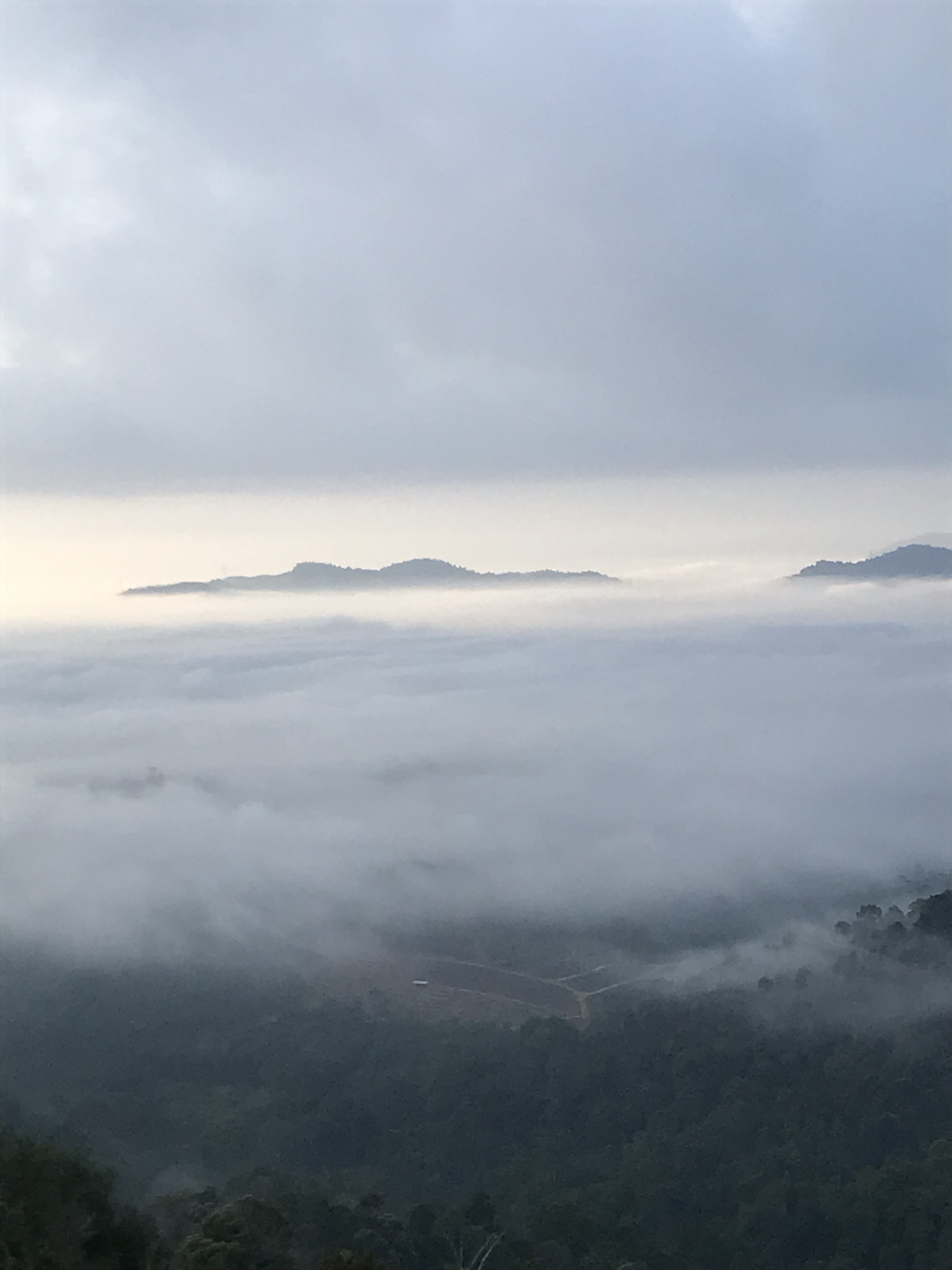
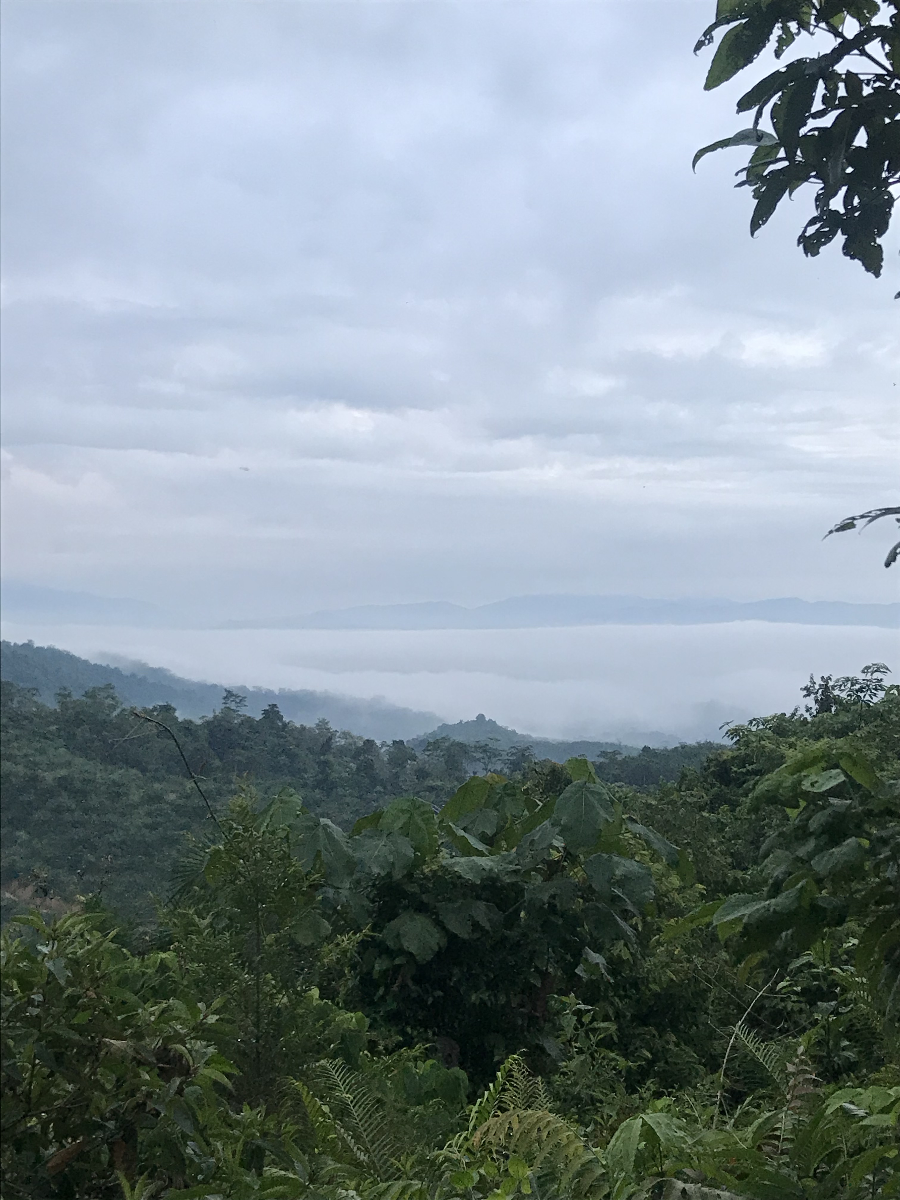
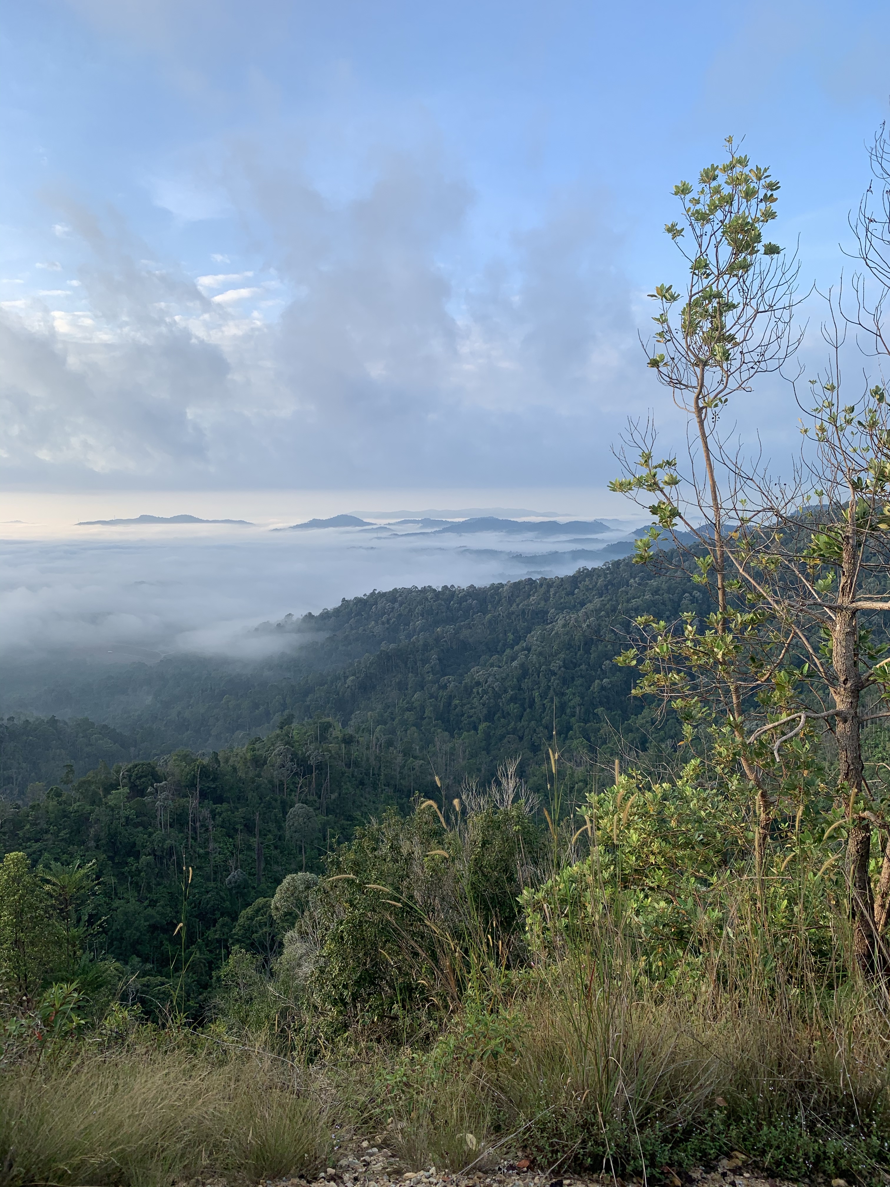
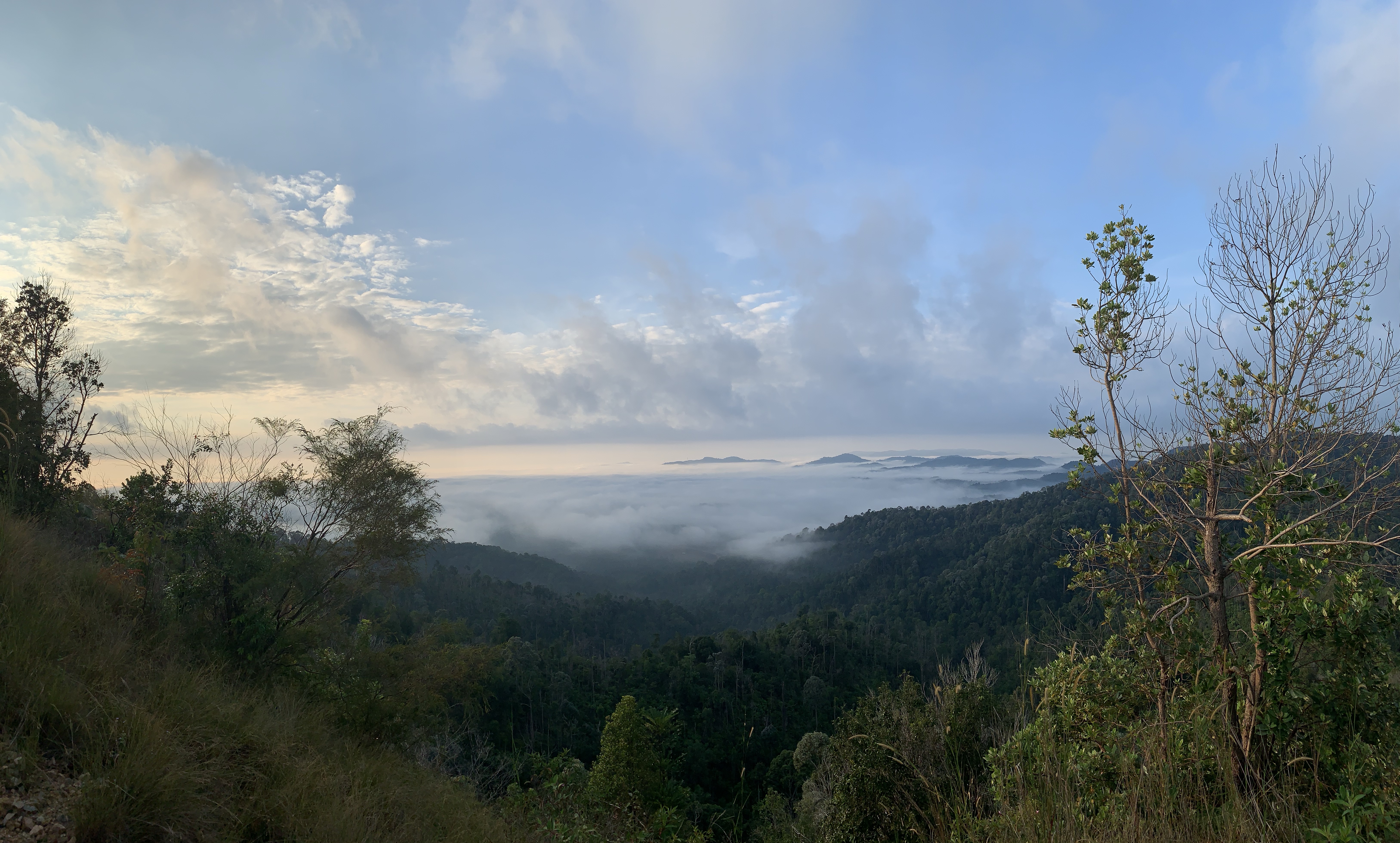
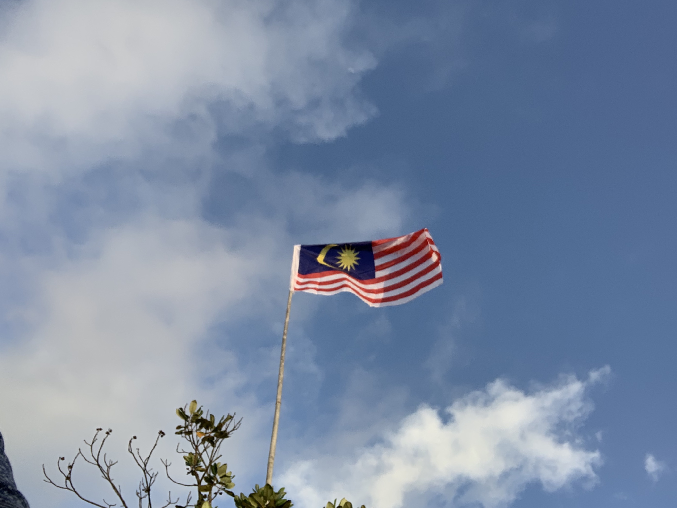
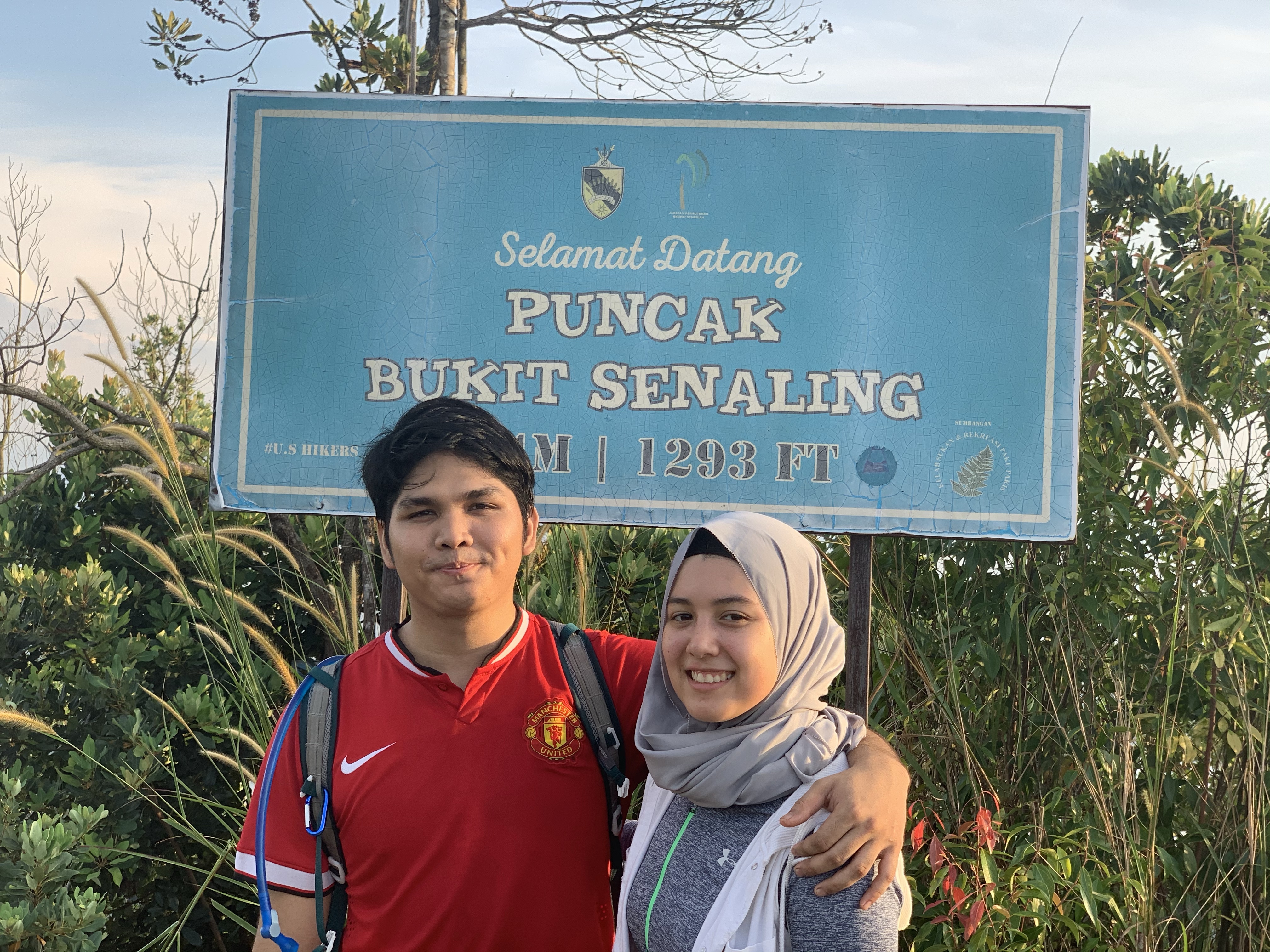
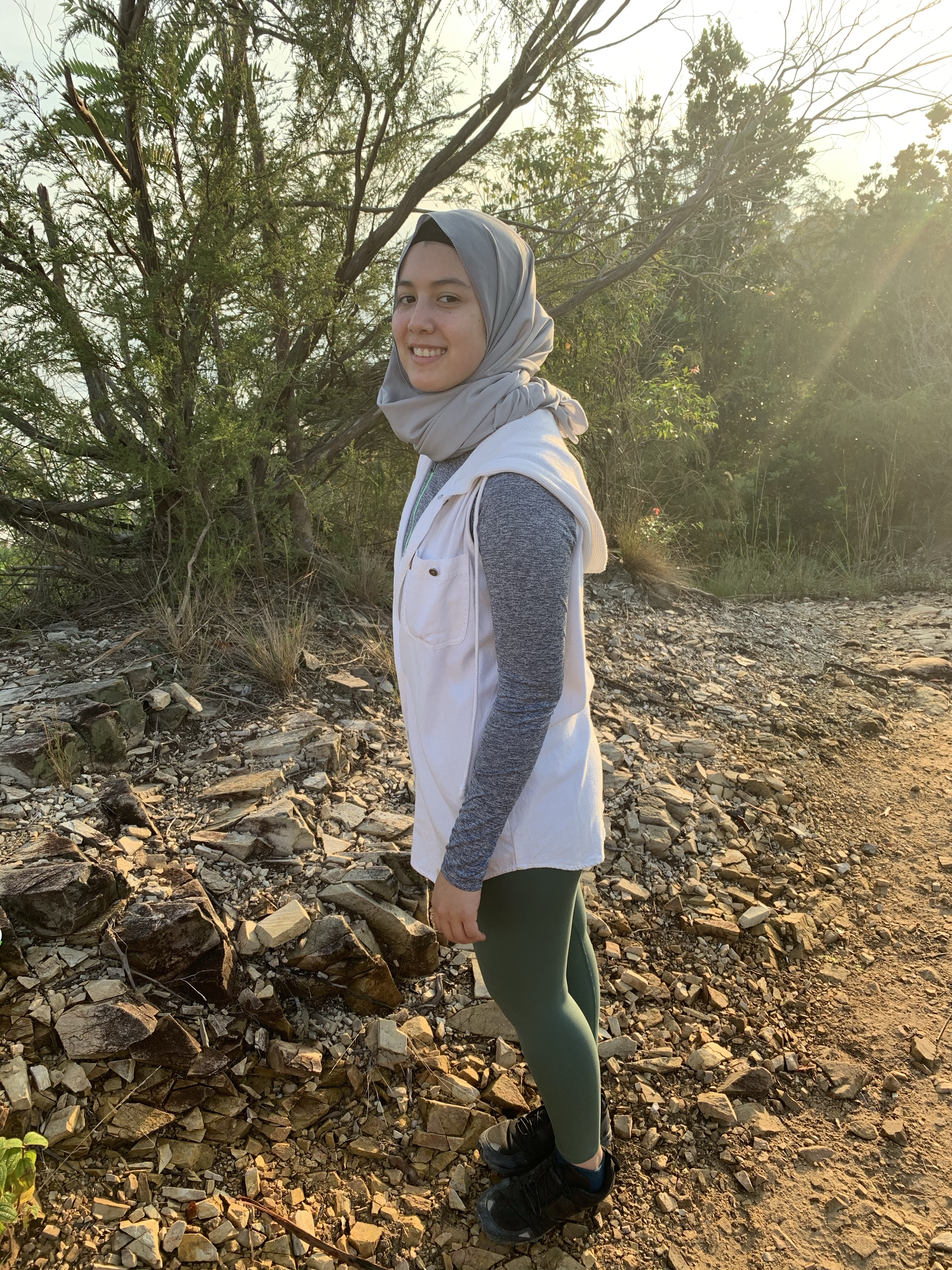
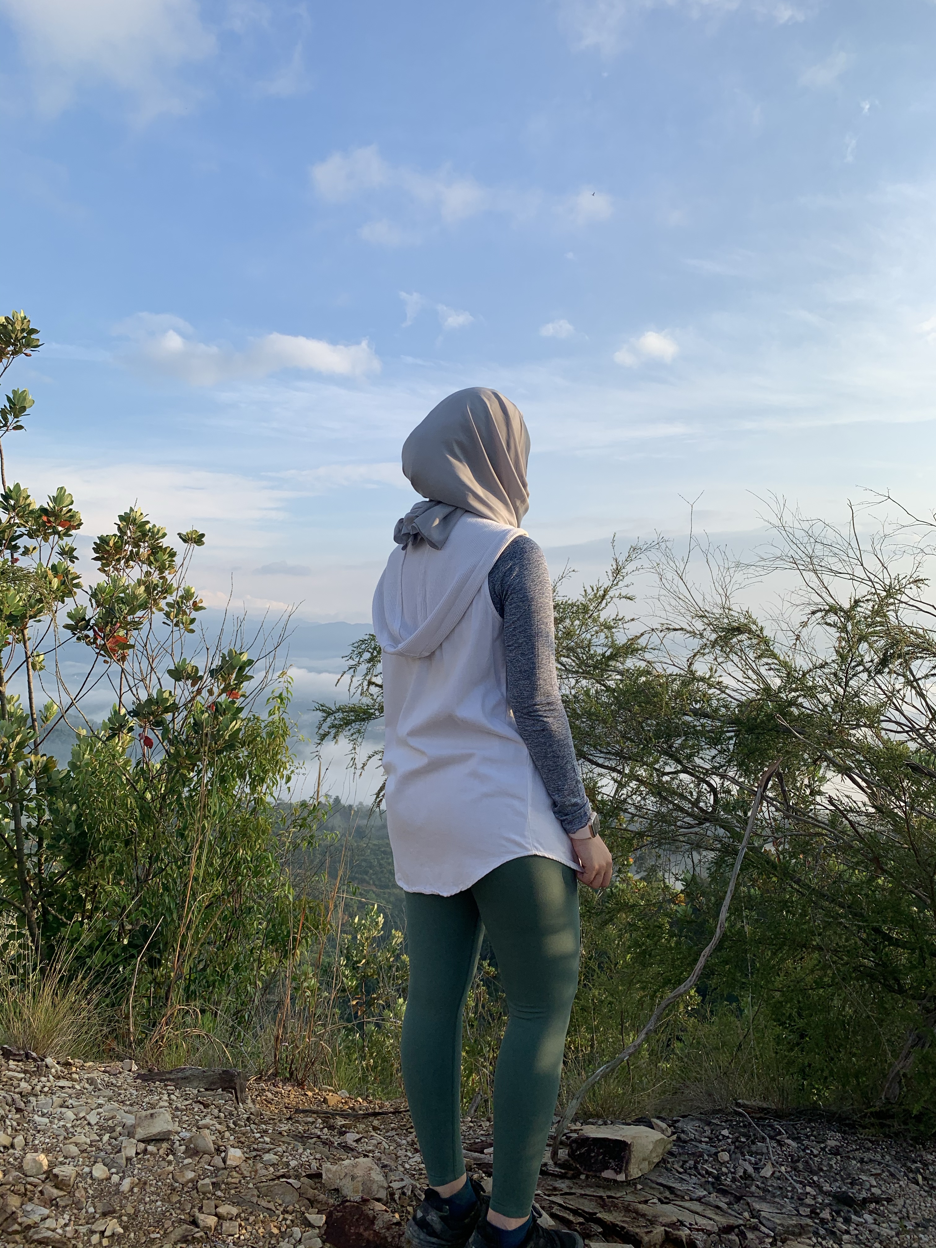
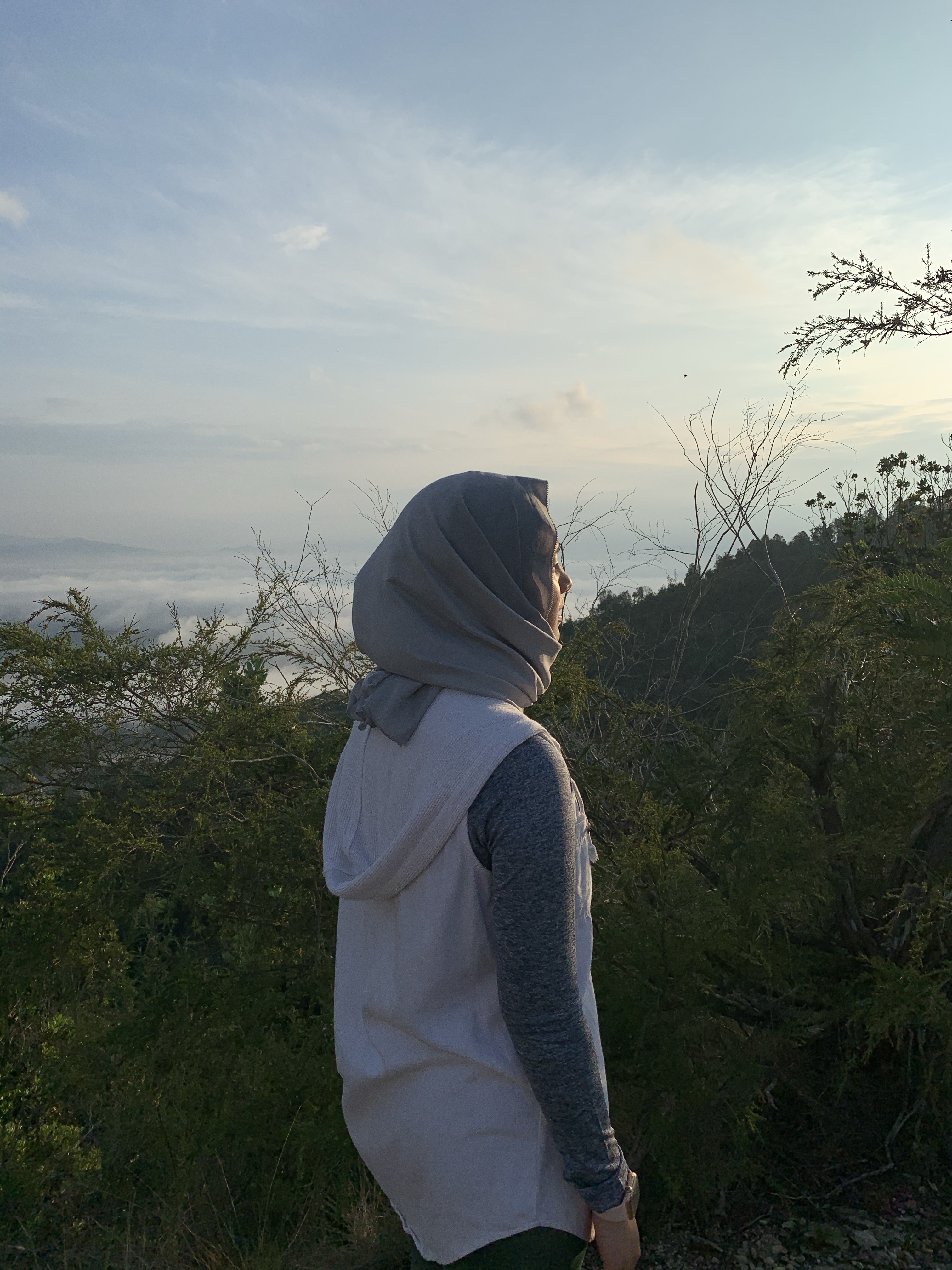
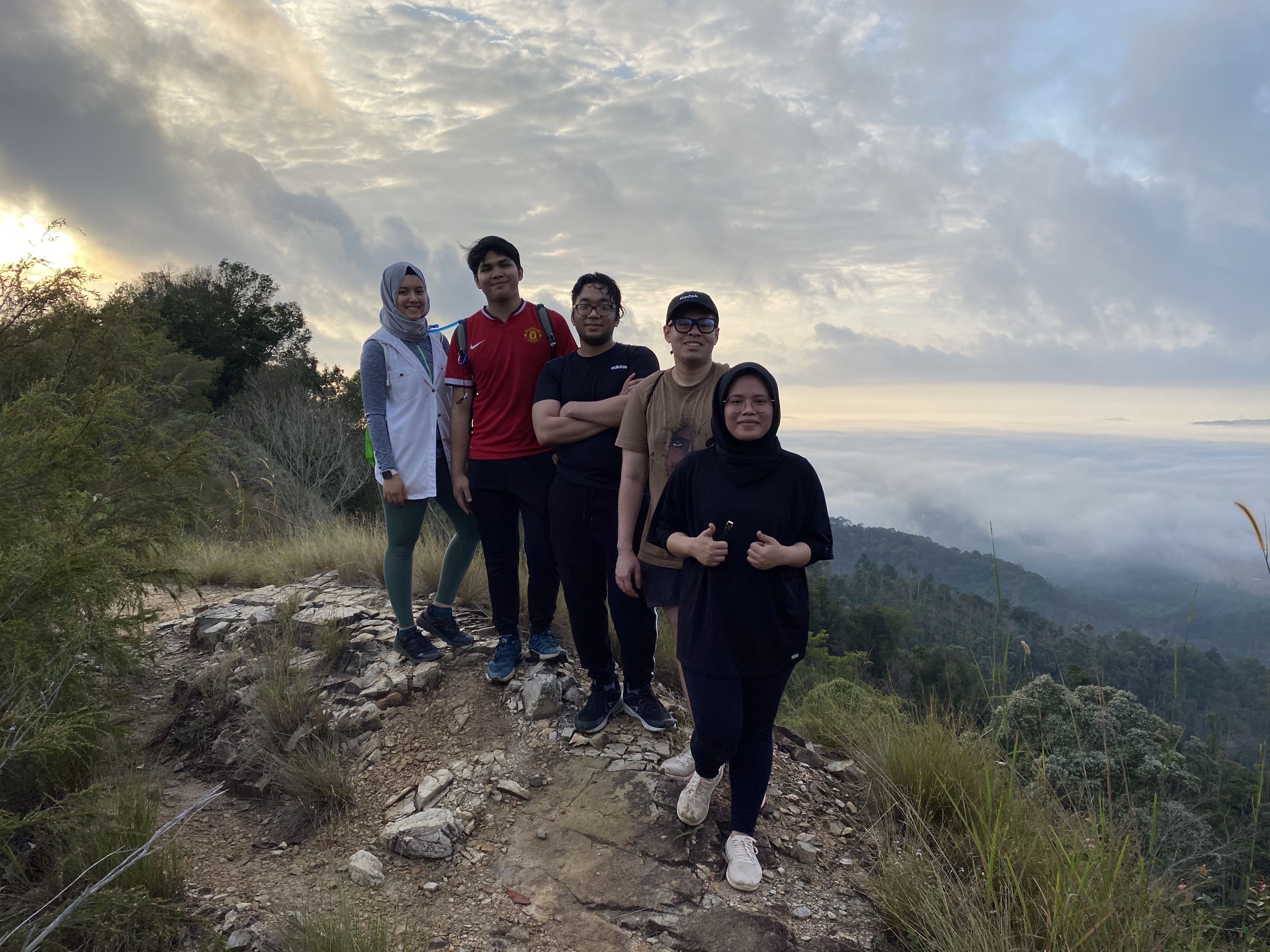
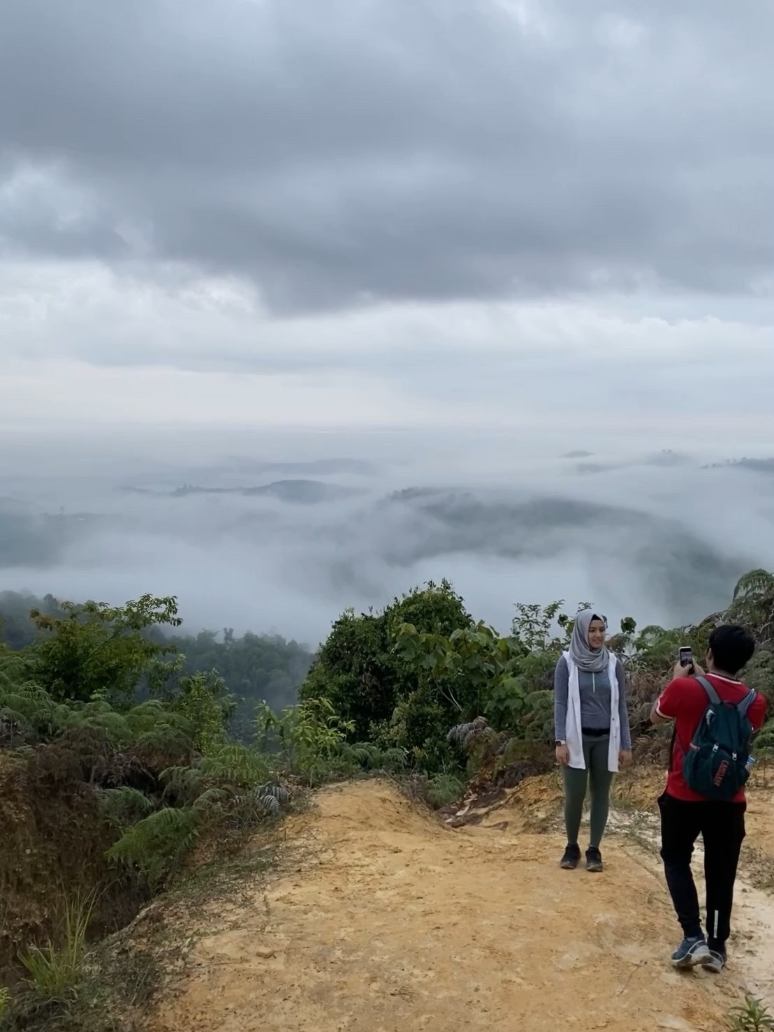
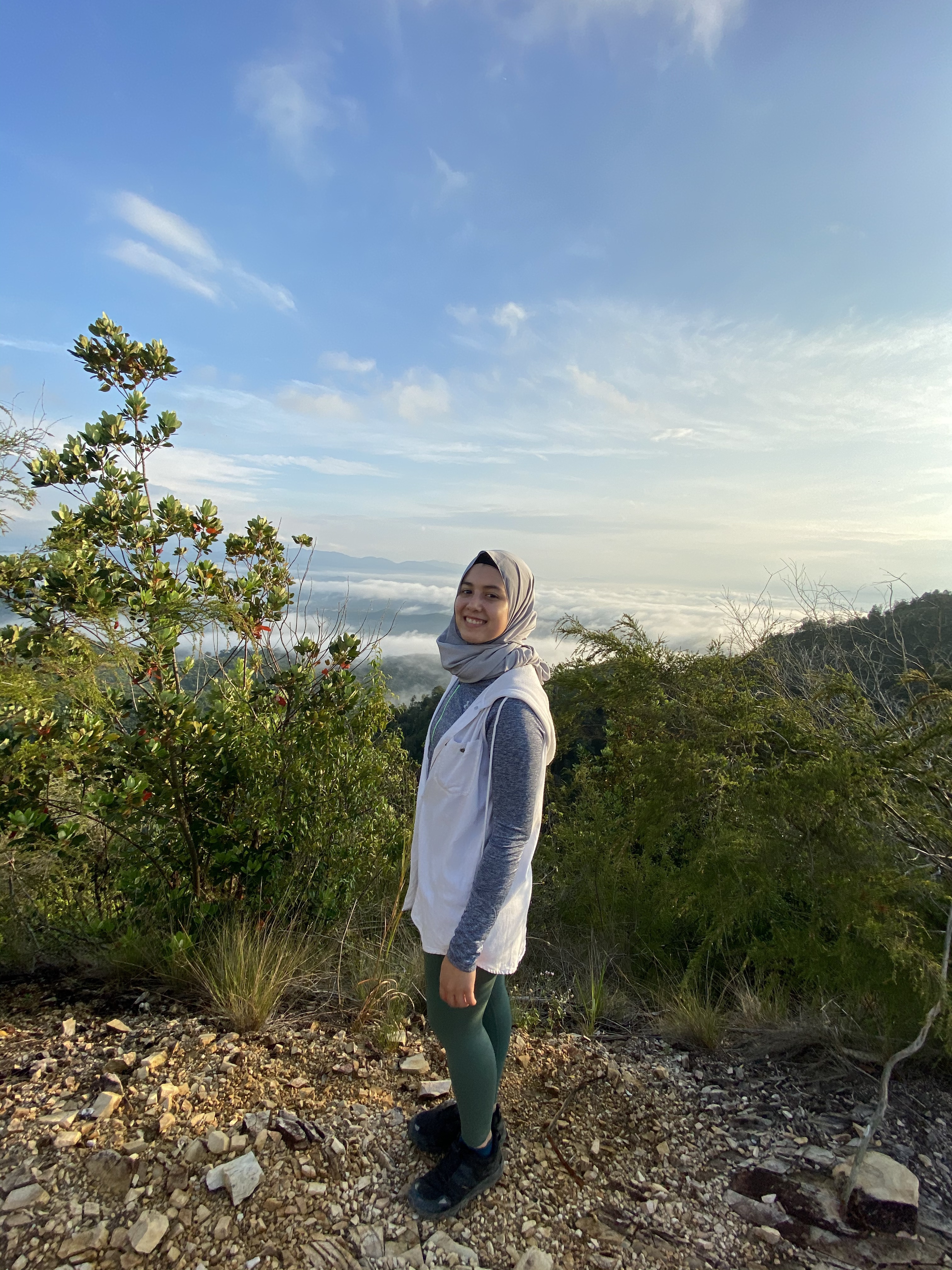
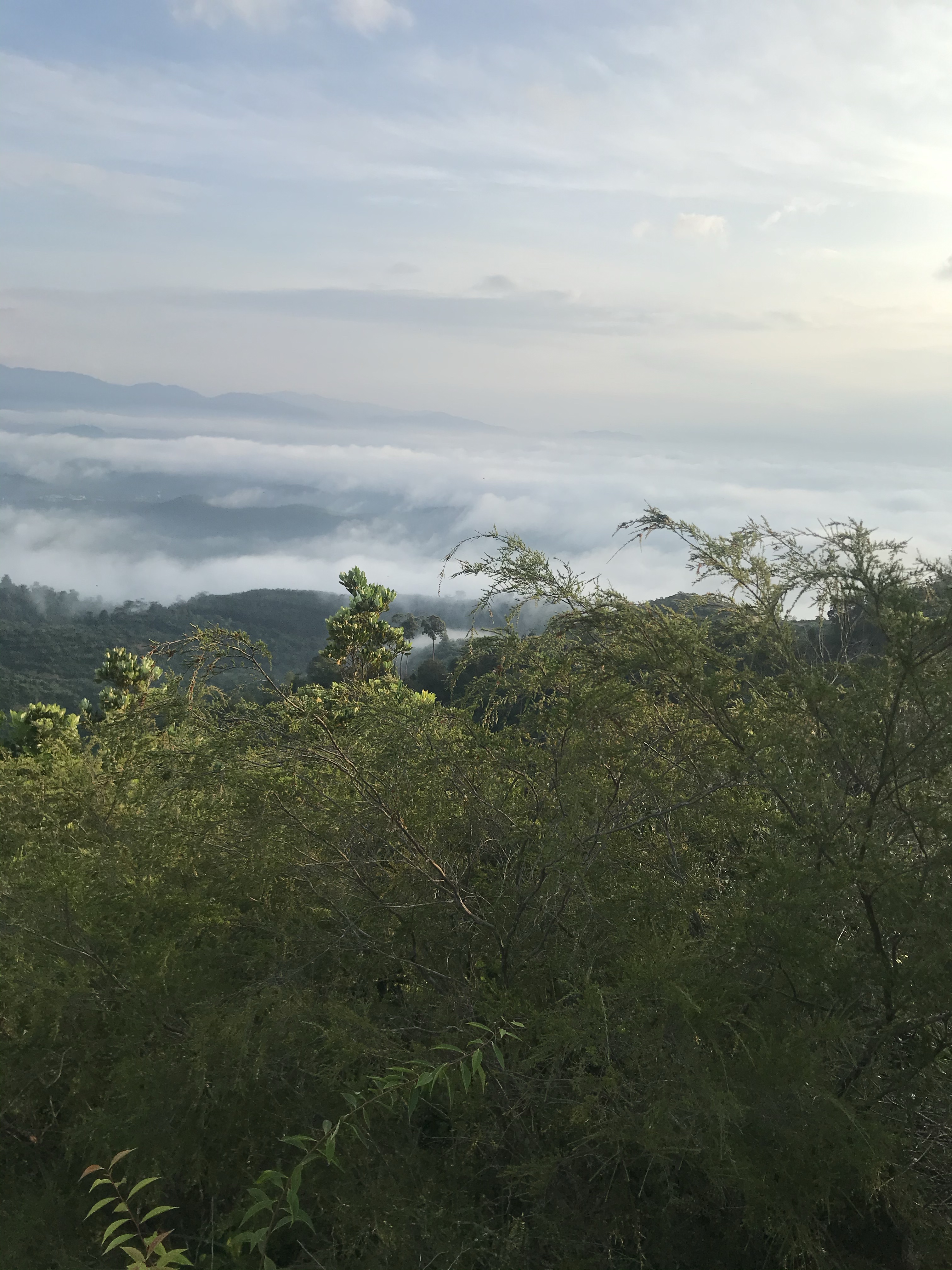
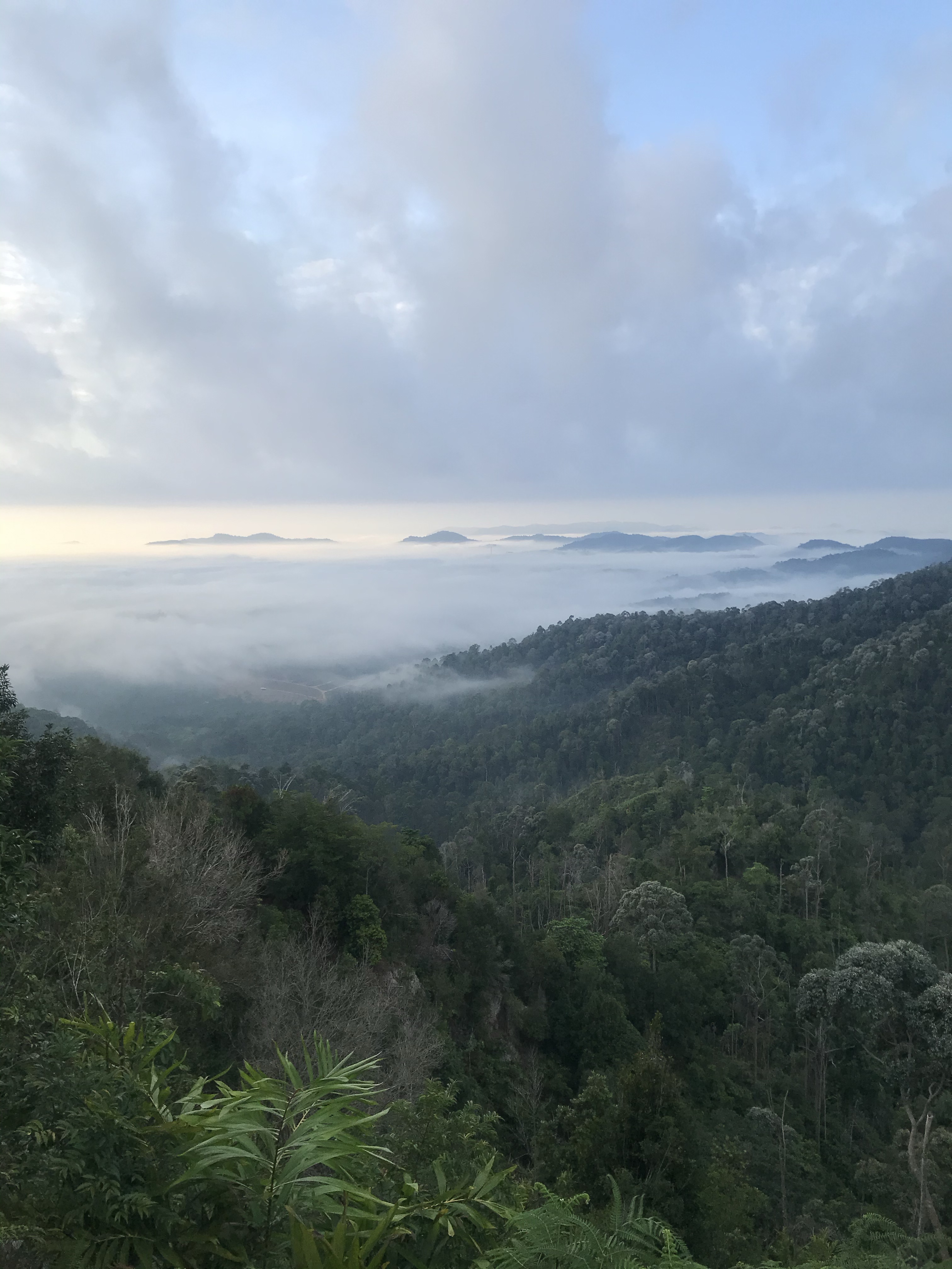
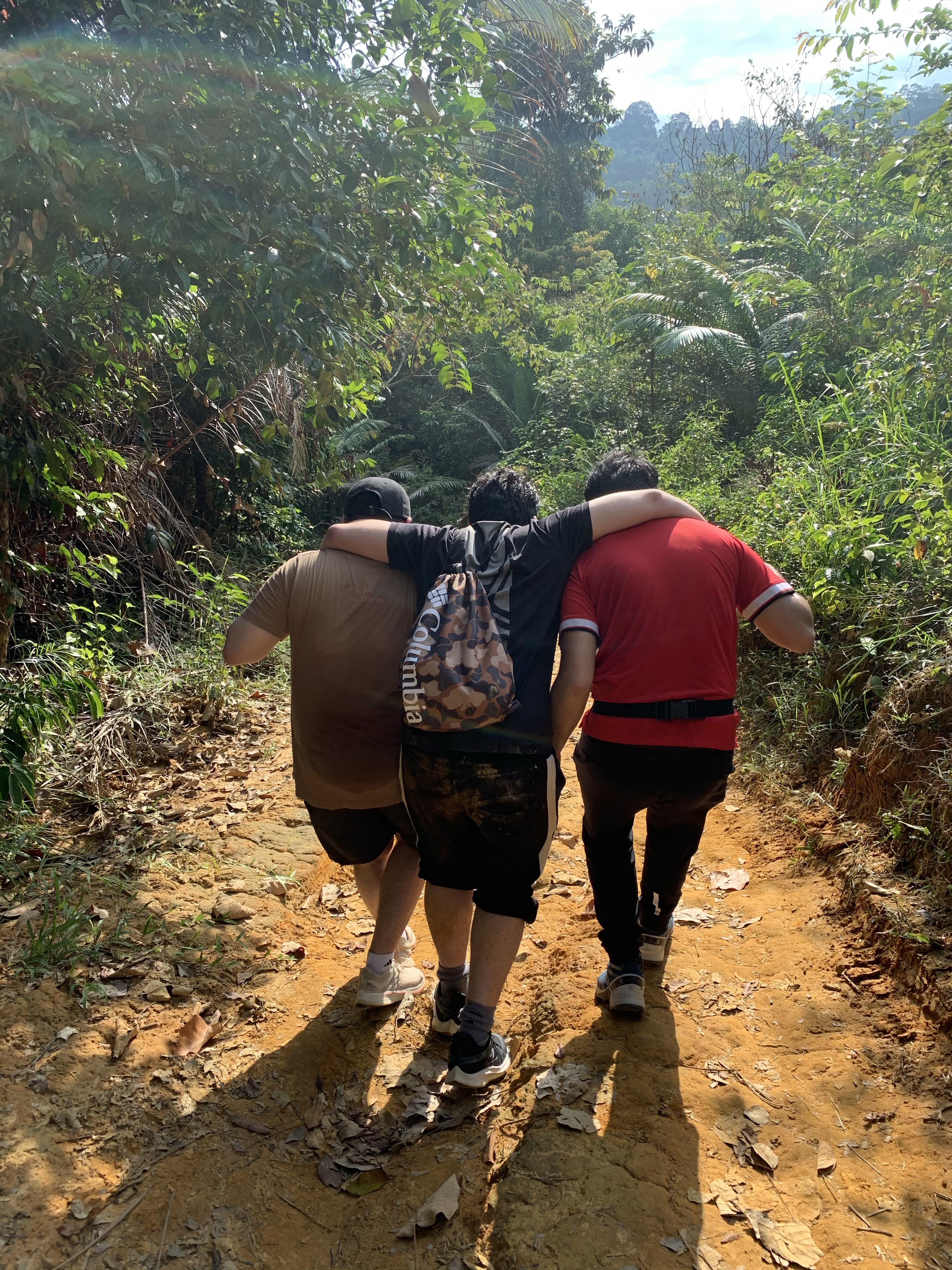
Last Sunday, both of us, joined by our college friends have decided to hike Bukit Senaling of Kuala Pilah, popularly known for her panoramic views above the clouds.
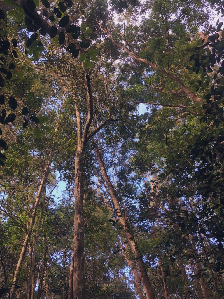
The hike up is a lot less challenging than her neighboring counterparts, namely Gn. Angsi and Datok. The route is less steep and of average distance. However, Senaling offers you a trail through different landscapes and plantations, and personally for us, the best way to learn your topography.
Info:
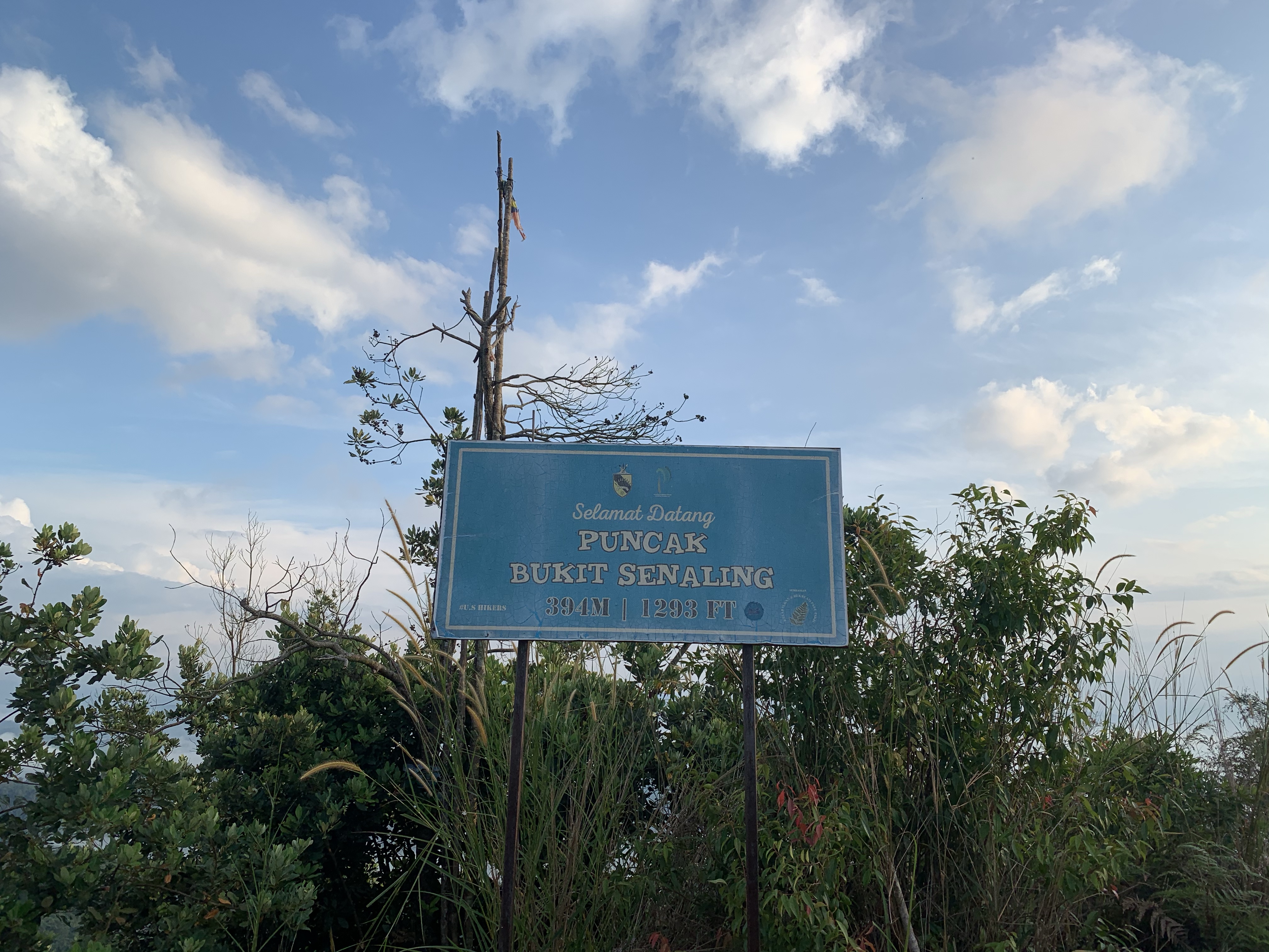
Location: Pekan Senaling, Kuala Pilah
Trailhead coordinate: 2.690491N, 102.264534E
Summit elevation: 394 meters (1, 293 ft)
Elevation gain: 341 m
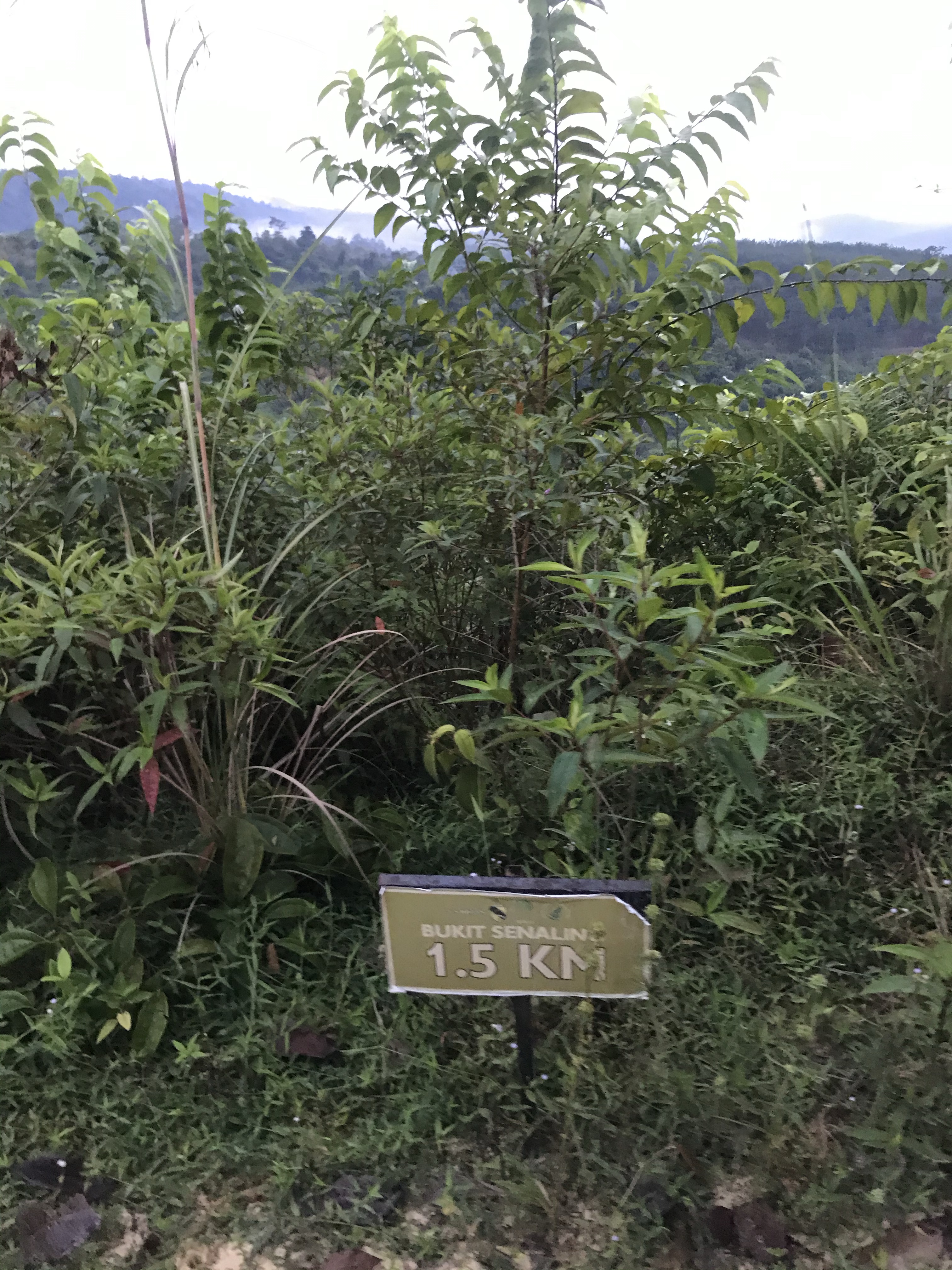
Distance: 3km one way
Duration: 45 mins — 1hr one way
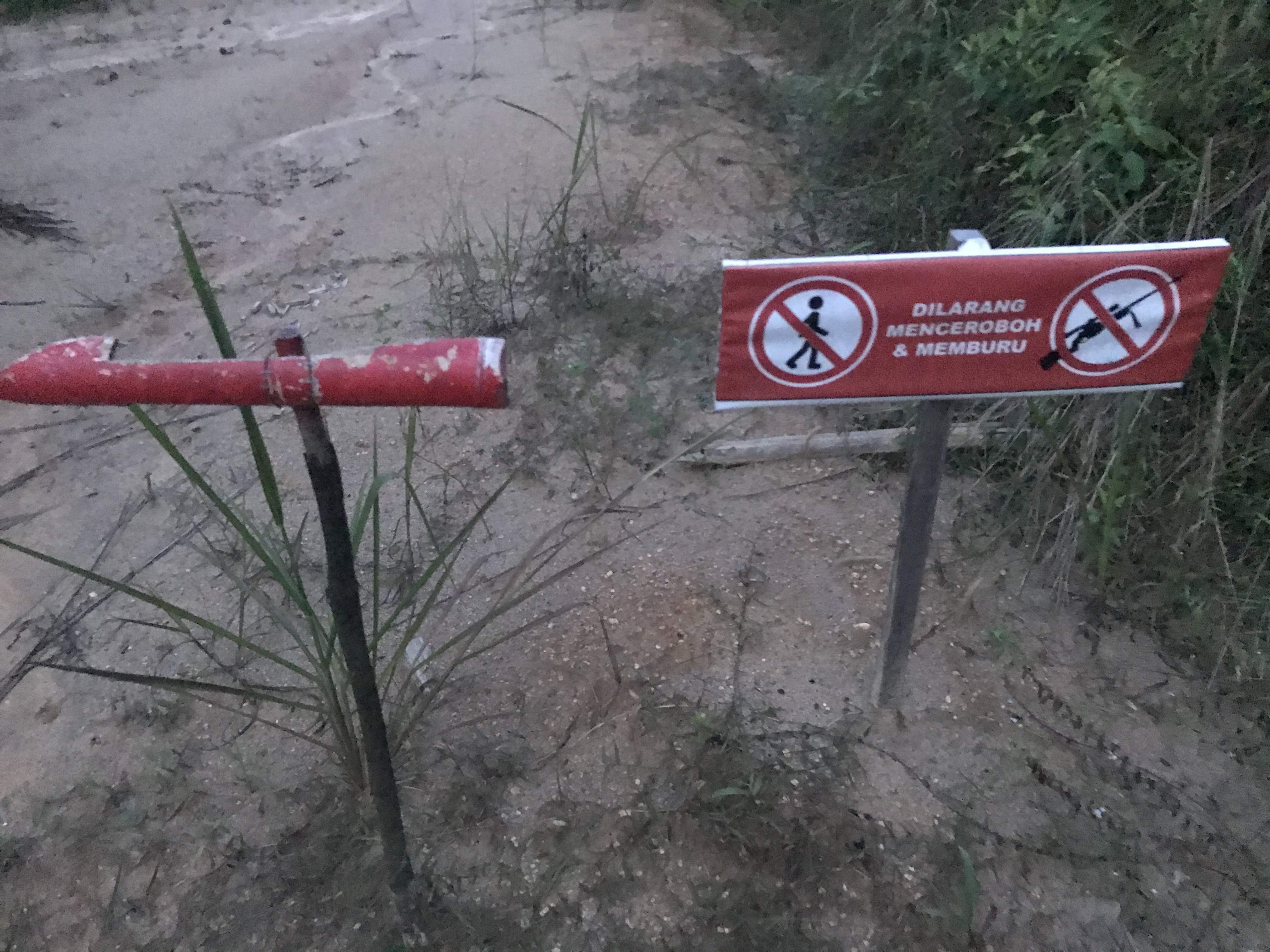
Permit fee: RM15 per head
Parking: Provided
Road condition to trailhead: Tar road, thru a residential area. You will park at a designated parking area prepared by the locals, just a walk away from the trailhead.
Facilities: Surau is provided. Food and drinks available. Toilet is provided.
Trail route:
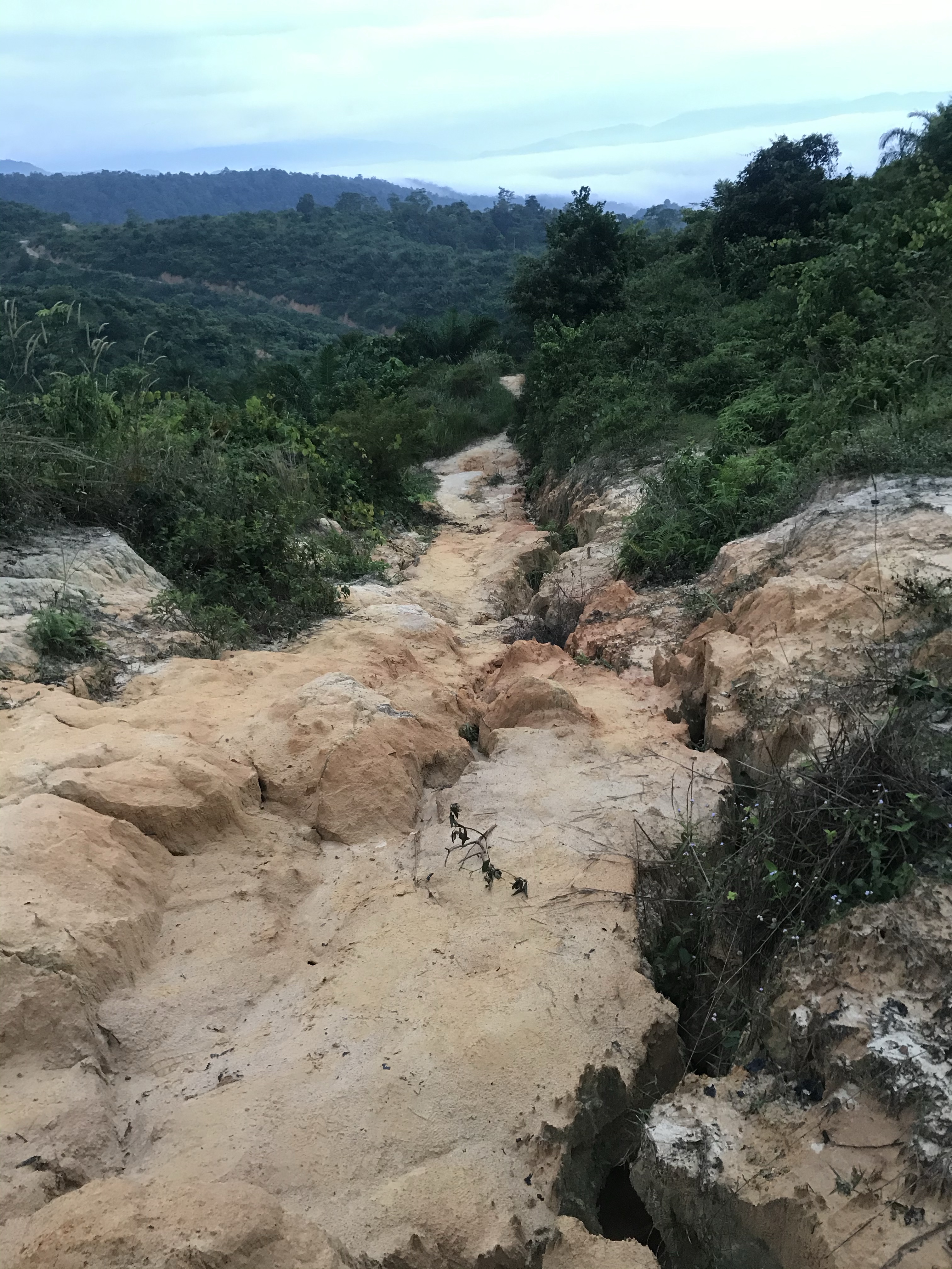
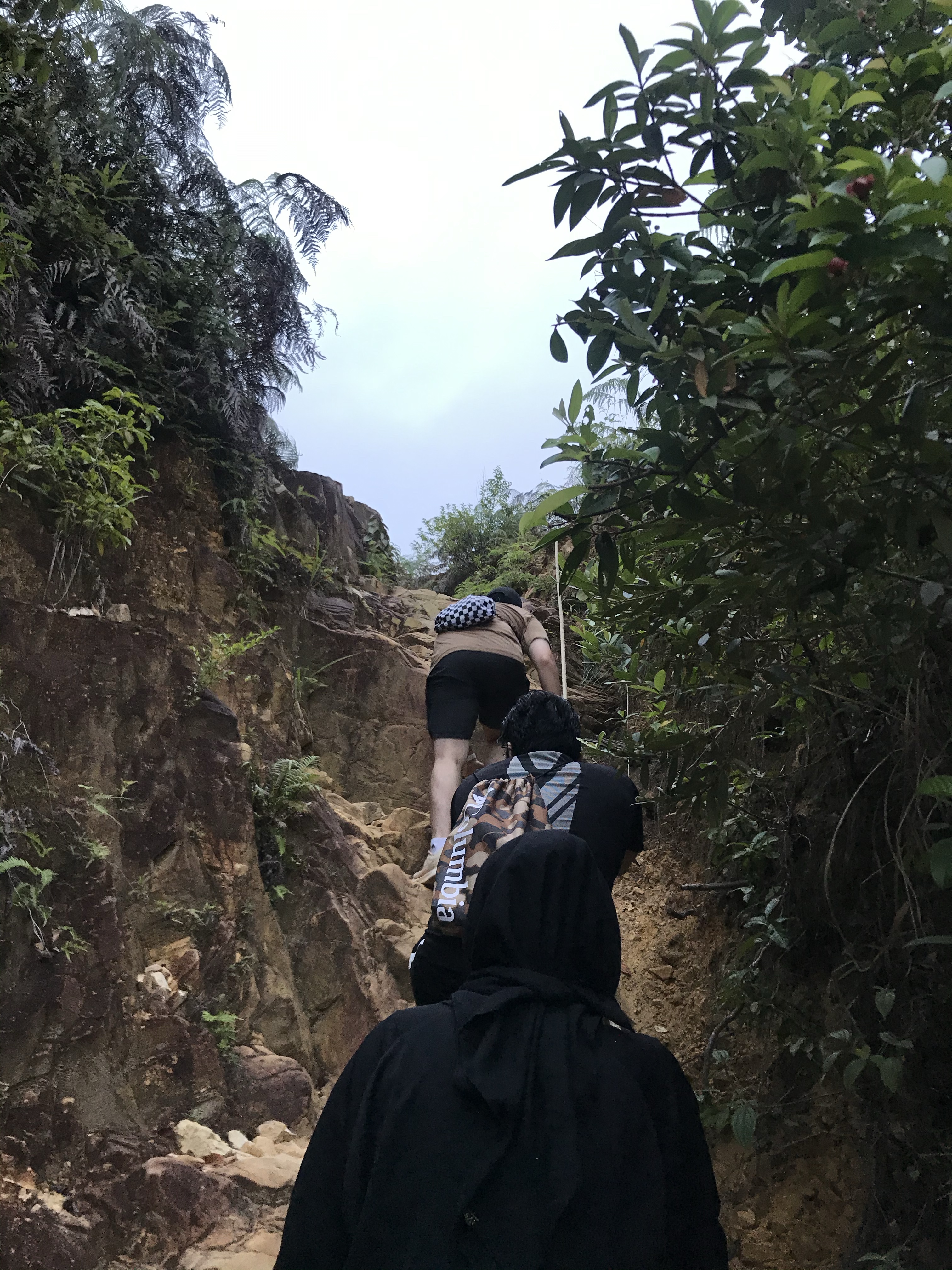
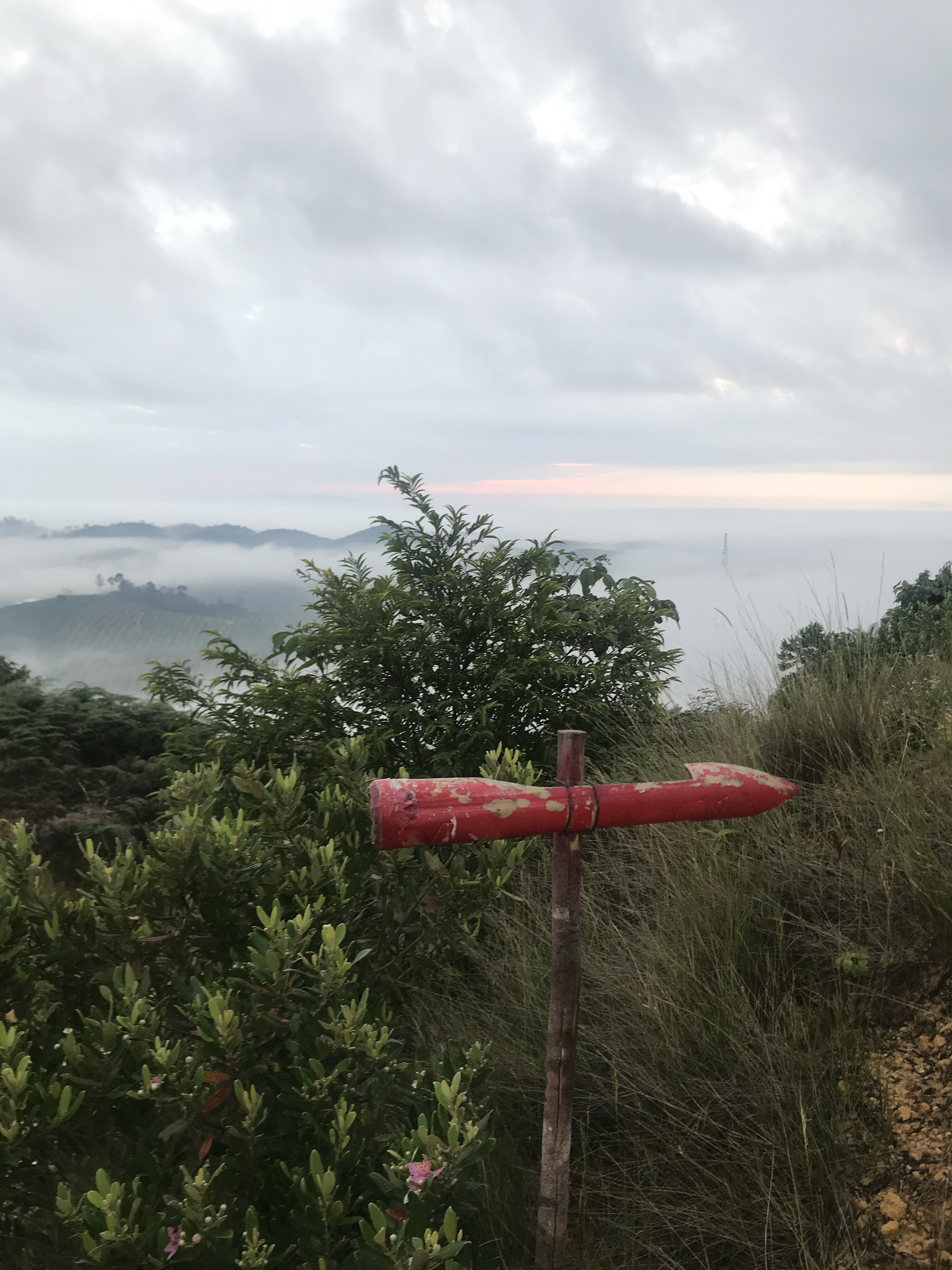
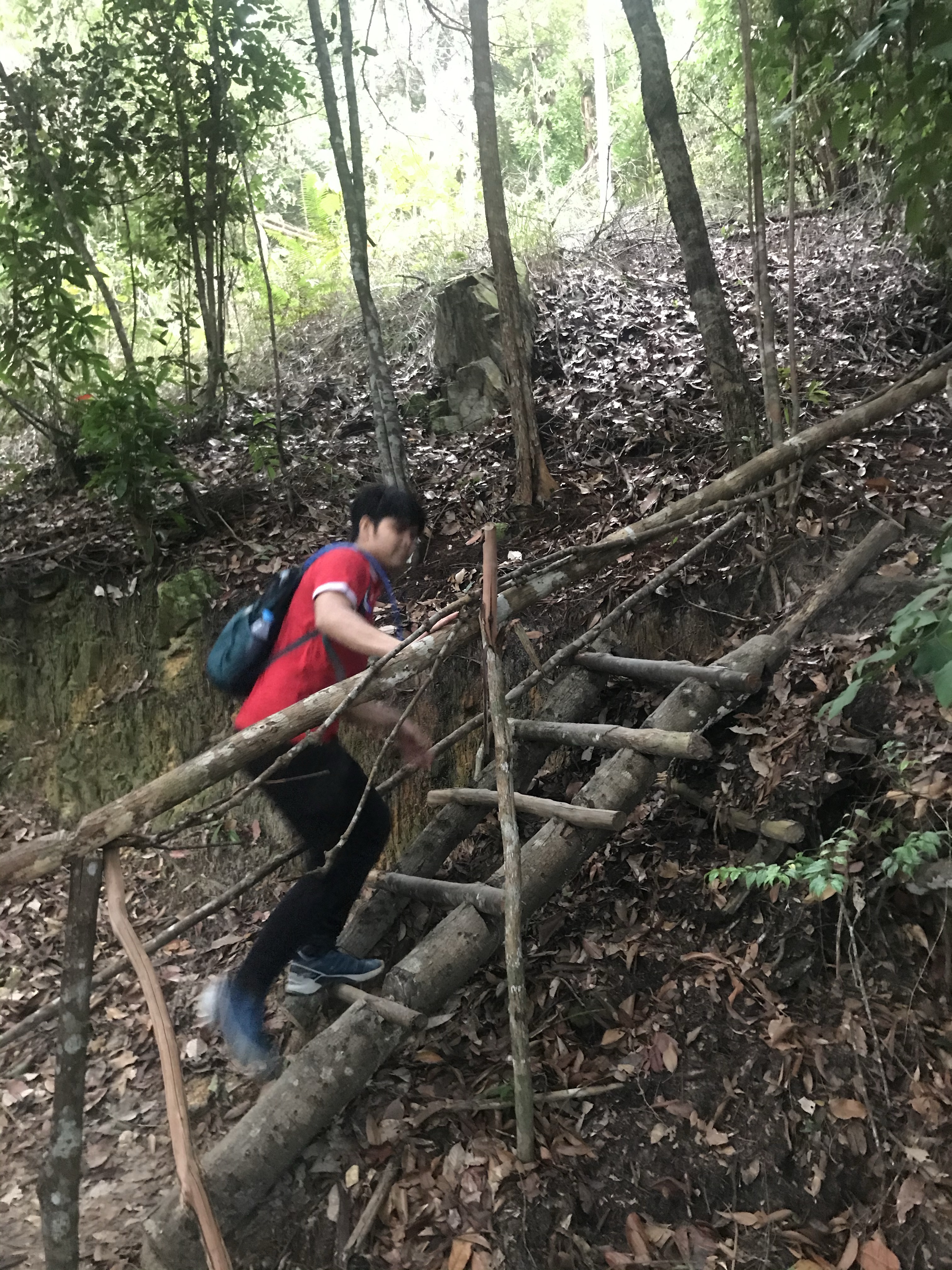
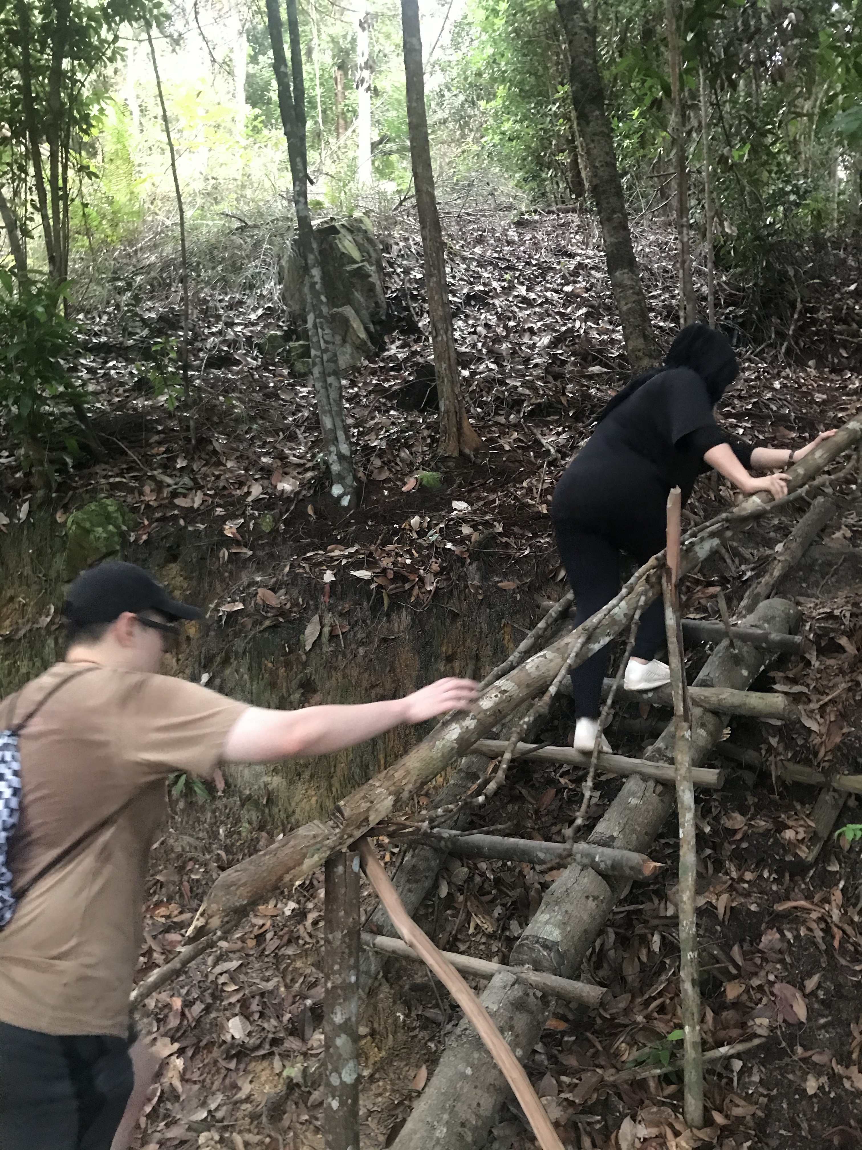
The trail is actually very easy to follow. You will see red arrows at every 0.5 km or so, and follow them exactly (even if you doubt them when its leading you downhill instead of uphill, just follow them).
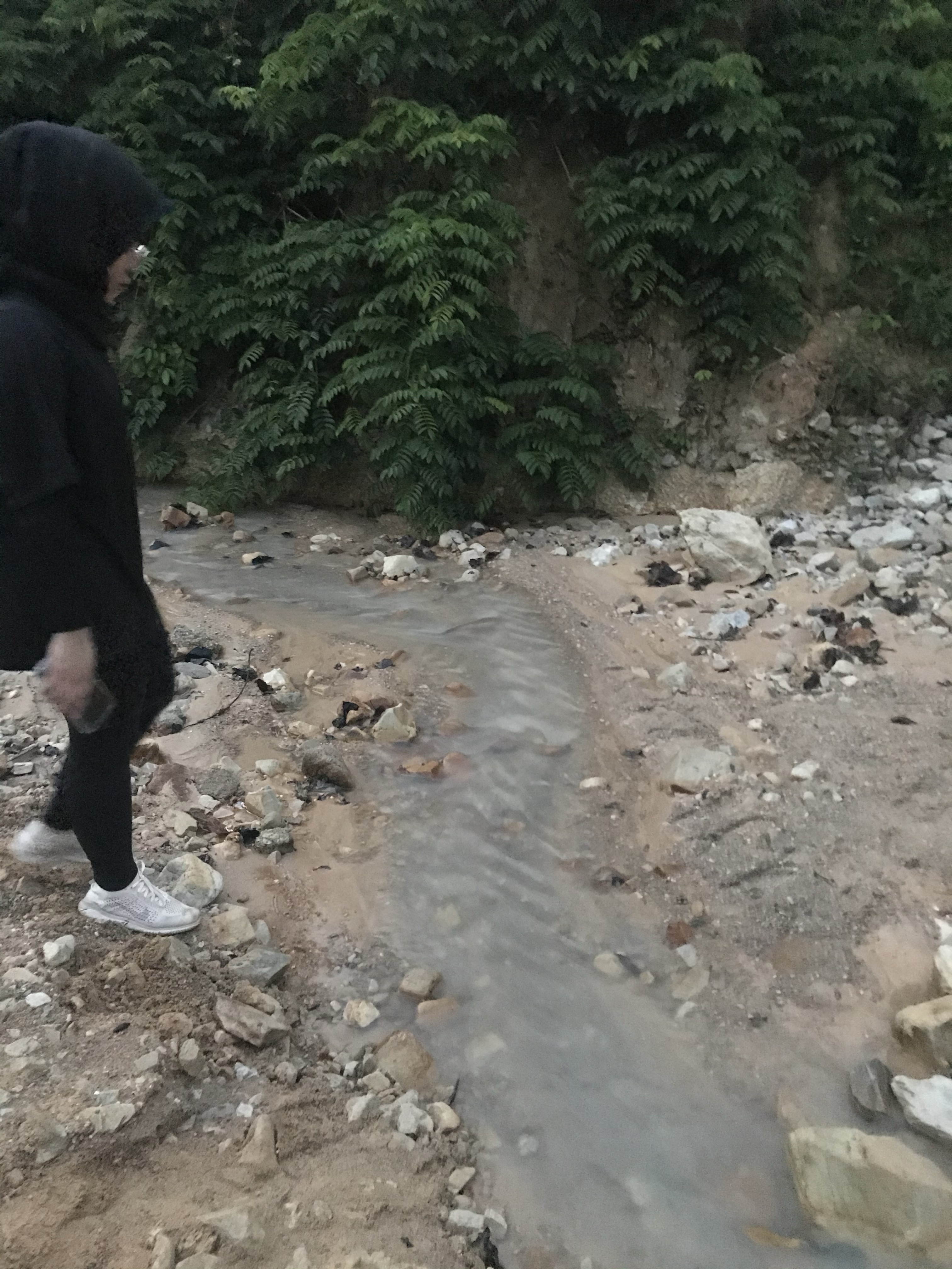
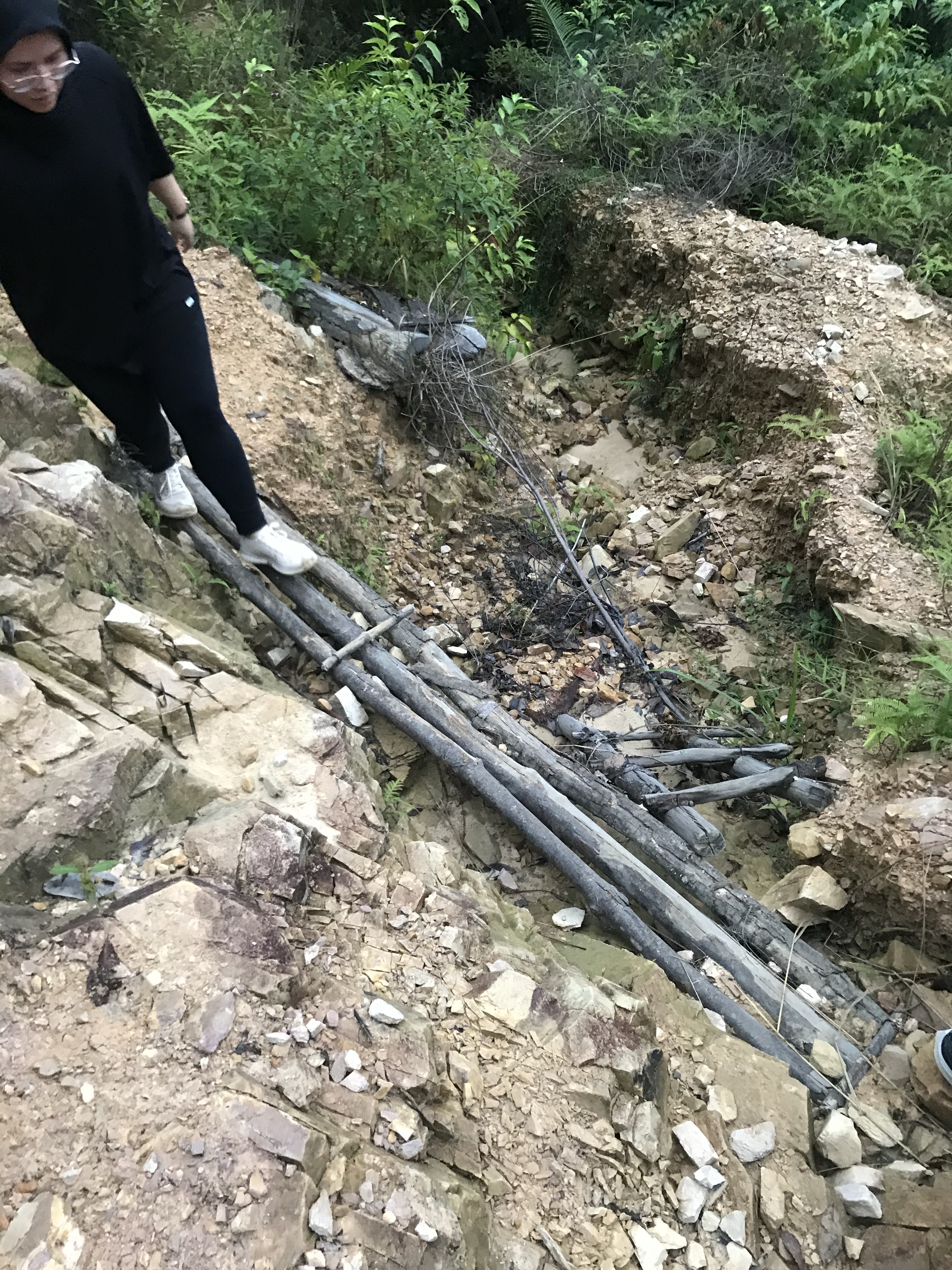
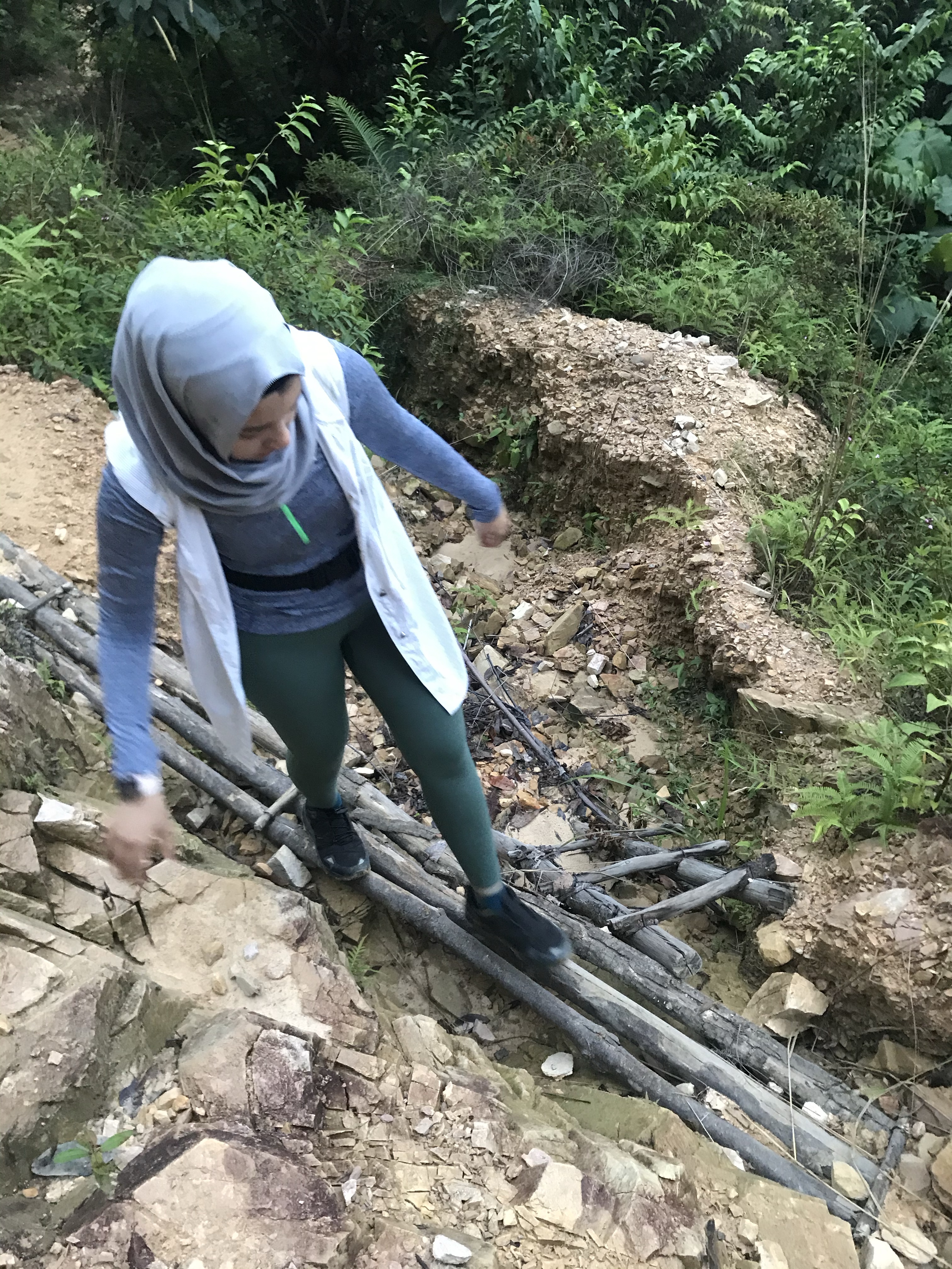
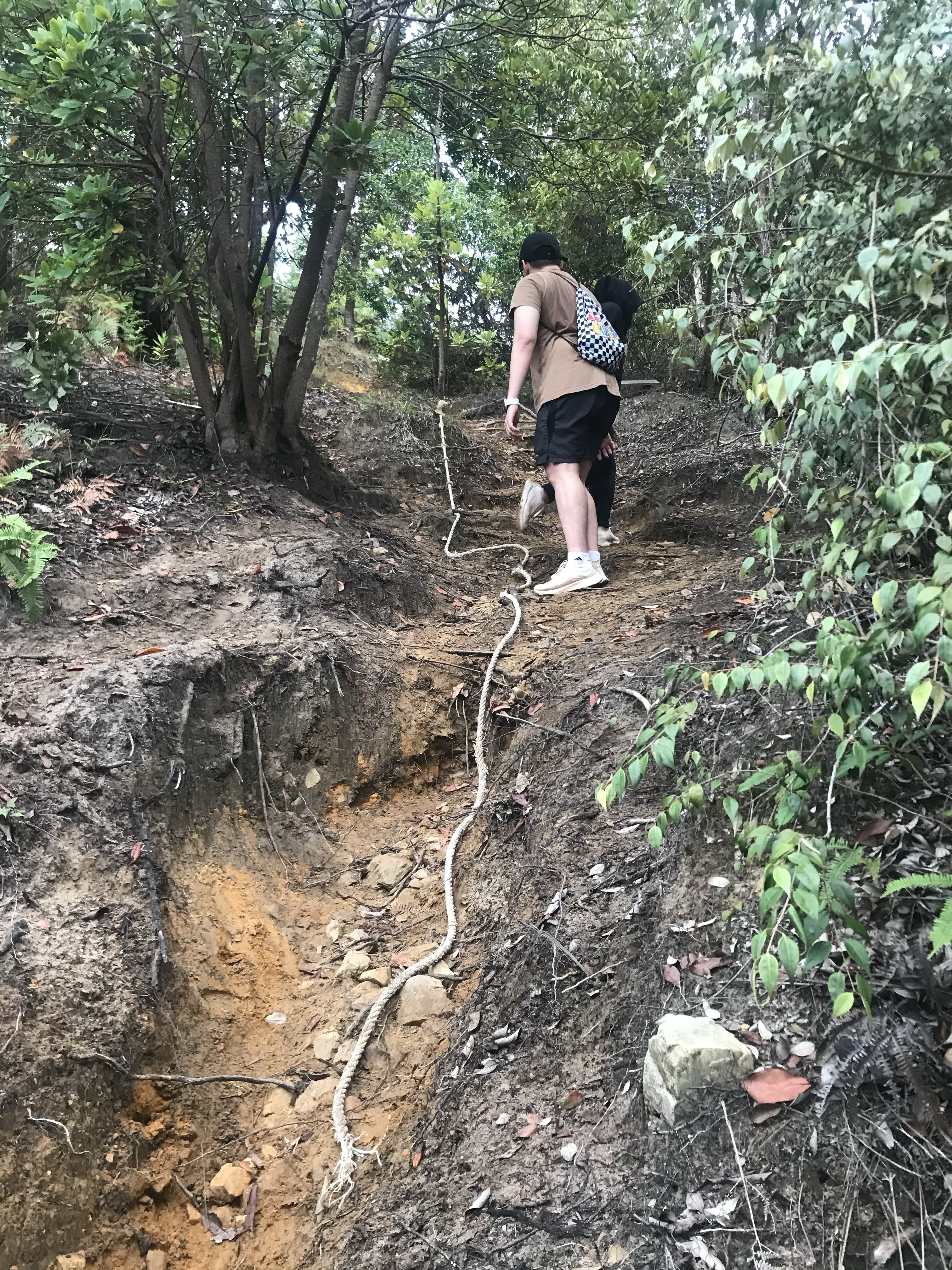
Start of the trail —> walk uphill till you see a pondok (hut) —> rubber plantation —> follow the arrow that leads downhill —> palm tree plantation —> cross a mini creek (anak sungai) —> trek uphill which you may now observe the clouds engulfing the panorama —> steeper trail, going thru an open forest —> wooden staircase —> flat trail (400m) to the panoramic point.
If you’re looking for a decent hike to enjoy the greenery, not so the scenery, and to somewhat test your endurance but not so challenging — then this is the perfect hike.
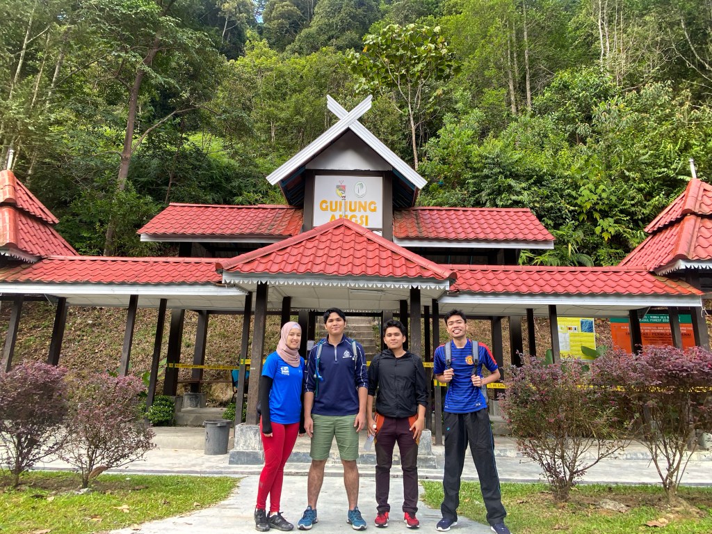
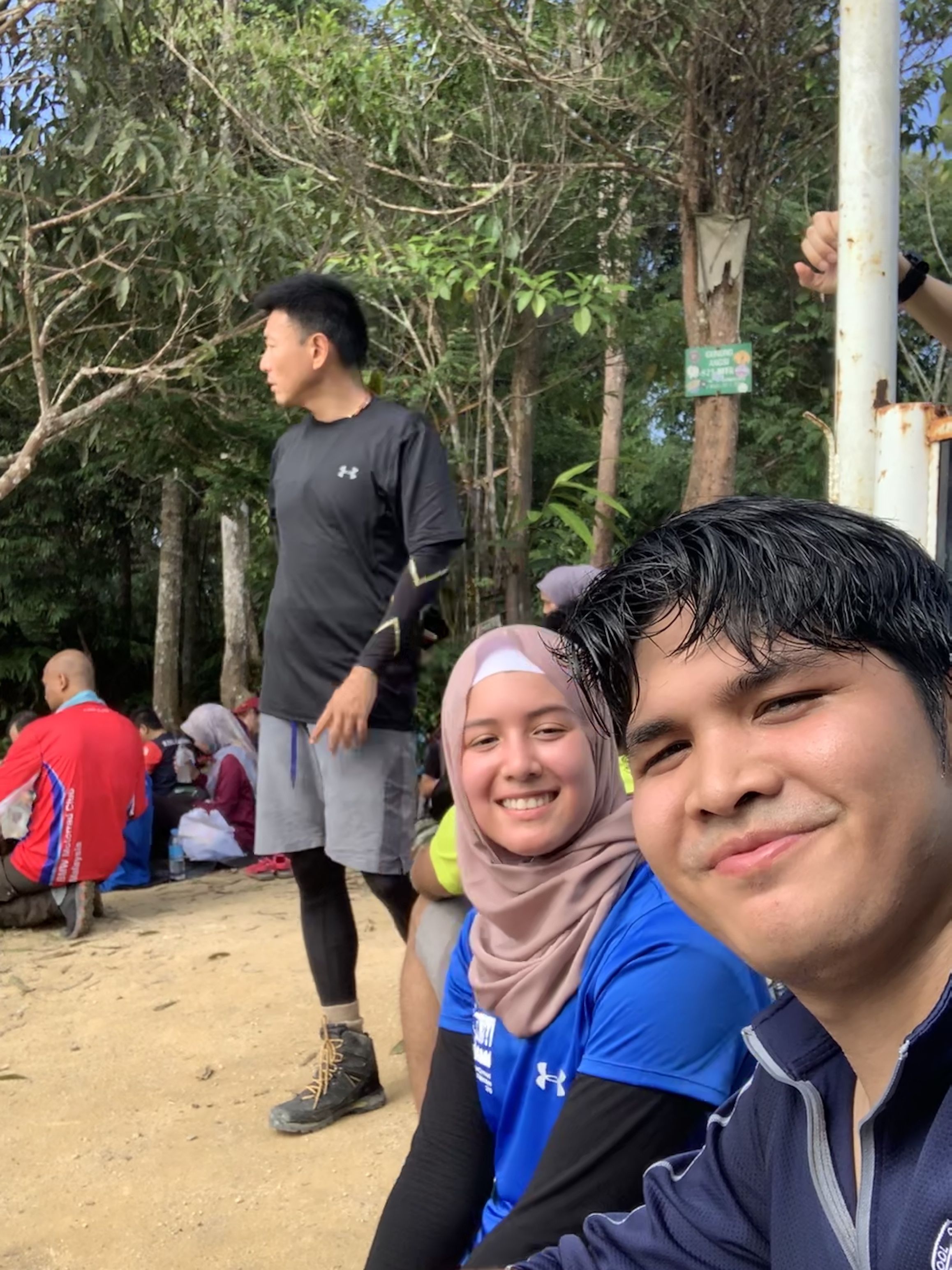
Gunung Angsi challenges you at the beginning portion of the hike, where she welcomes you with a steep ramp that you have to overcome, then going through about 1 kilometre of what seemed an endless yet manageable inclination, then finally leaving the rest of the 4 km or so of a fairly gradual trail throughout… but not exempting the up-and-down passage, hurdling through blockade of trees, and a few muddy sections. Nevertheless, offering you the temptation of a challenging hike, and rewarding you with a peek of only a stretch of the Titiwangsa Range on its jungle-covered summit.
Info:
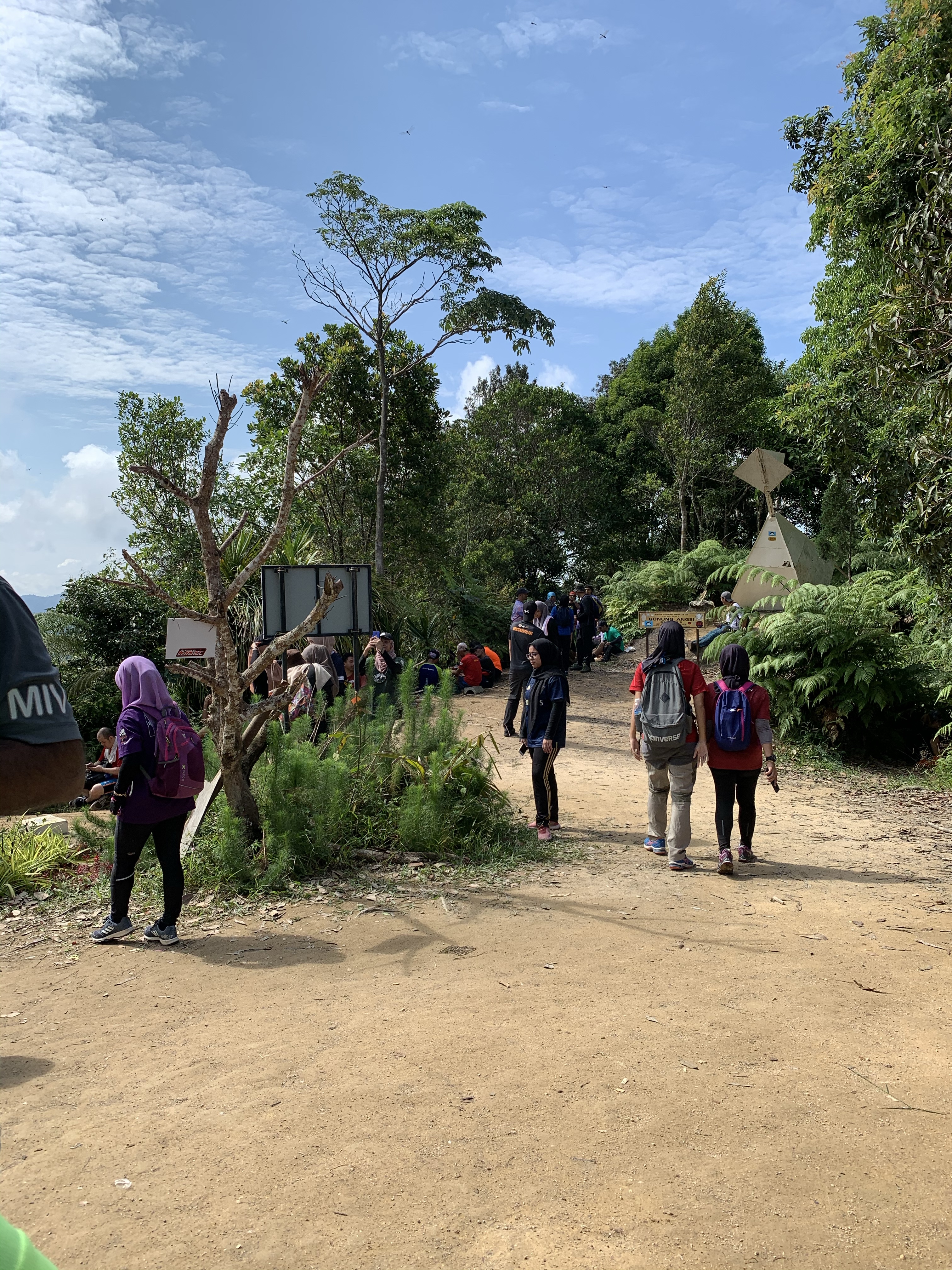
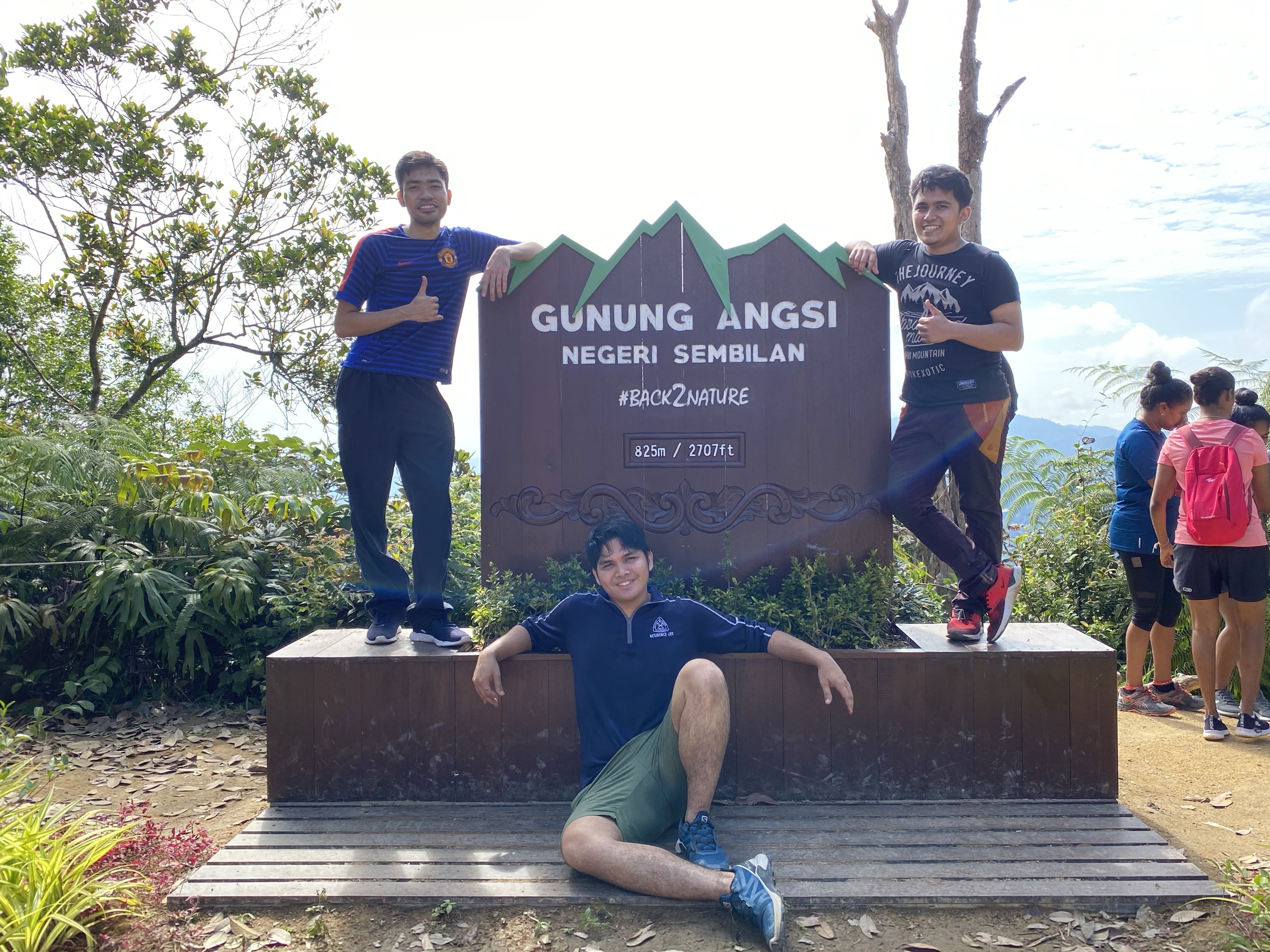
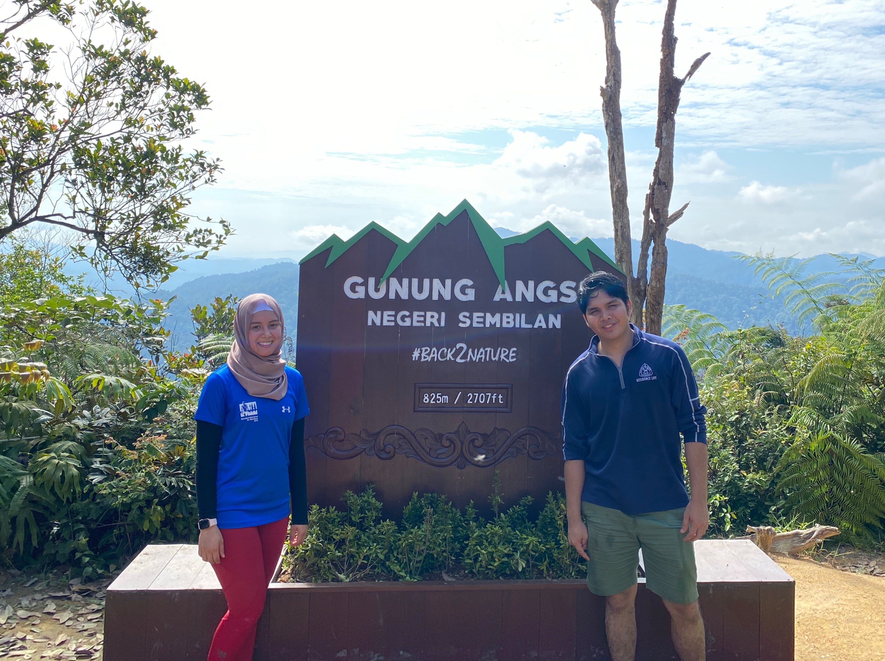
Location: Hutan Rekreasi Ulu Bendol, Daerah Kuala Pilah, Negeri Sembilan
Summit elevation: 824 meters (2, 702 ft)
Elevation gain: 536 m
Distance: 5km one way
Duration: 1.5 – 2.5 hours one way
Permit fee: RM 5 per head
Parking: Free
Road condition to trailhead: Tar road all the way.
Hello! Welcome to another episode of….. ‘What Did We Do Last Weekend?’
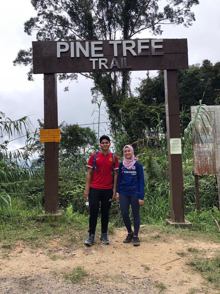
Last Sunday, both of us were joined in with Yasmine’s brother, Qayyum and his friend, Asyraf to hike Pine Tree Trail, located in Bukit Fraser.
Apart from Pine Tree, there are several other trails that are available in Bukit Fraser for you hungry hikers alike:
Hemmant trail
Bishop’s trail
Kindersley trail
Abu Suradi trail
Rompin trail, and etc.
Anyway, the drive to Bukit Fraser is a bit of a pain and a lot of winding left to right. Heads up to those driving up Bukit Fraser: Please fill up your tank before taking the exit to Route 55 (if you’re coming from KKB) because there is no gas station along the way or on Bukit Fraser! However, there is a ‘gerai’/ road side stall that sells petrol for like RM 20/ 5 liters, which is pretty costly, if you ask us.
Finding Pine Tree trail is quite straightforward, and very easy to spot. You can easily Google Maps the location, which leads to a narrow road uphill, where you will pass by Istana Sri Pahang, and once you’ve seen TM Resort’s Bungalow on your right, you shall now find a parking spot along the road because you’ve arrived.
Pine Tree trail leads to two peaks: (1) Pine Tree hill and (2) Twin Peak. We were also told that ultimately, if you venture further into the trail, you will reach Gunung Semangkok. However, that is a strenuous 30++ km journey which would take almost one whole day for a round trip.
Here are some facts on Pine Tree Trail:
Location: Bukit Fraser, Pahang
Summit: Pine Tree hill
Summit elevation: 1524 m (5000 ft) above sea level
Distance: 5.5 km one way
Duration: 2-ish hours (one way)
Trail difficulty: Moderate
Parking: Free, park at your own risk by roadside.
Road condition to trailhead: Flexible pavement/tar road, so you’ve nothing to worry about.
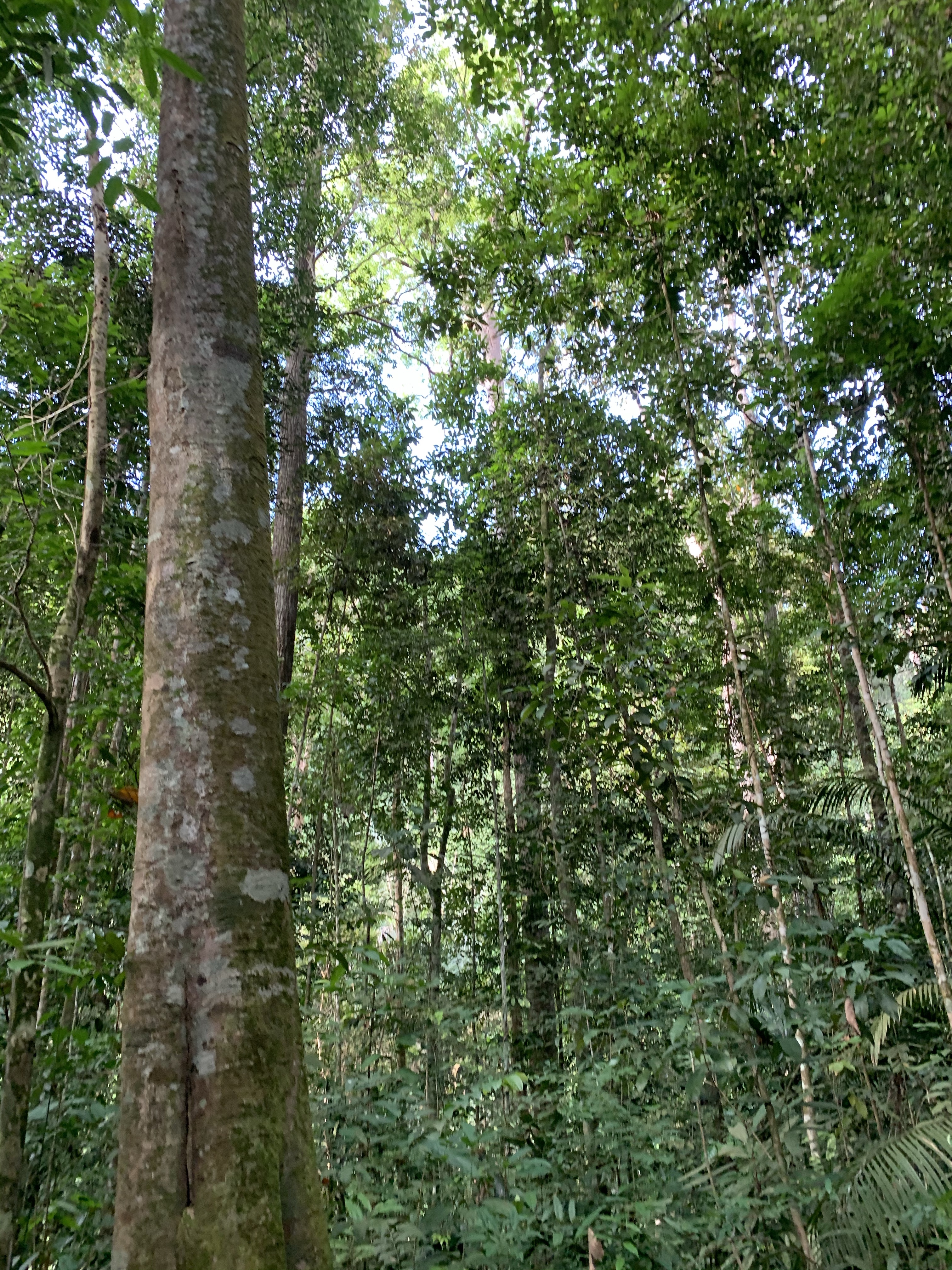
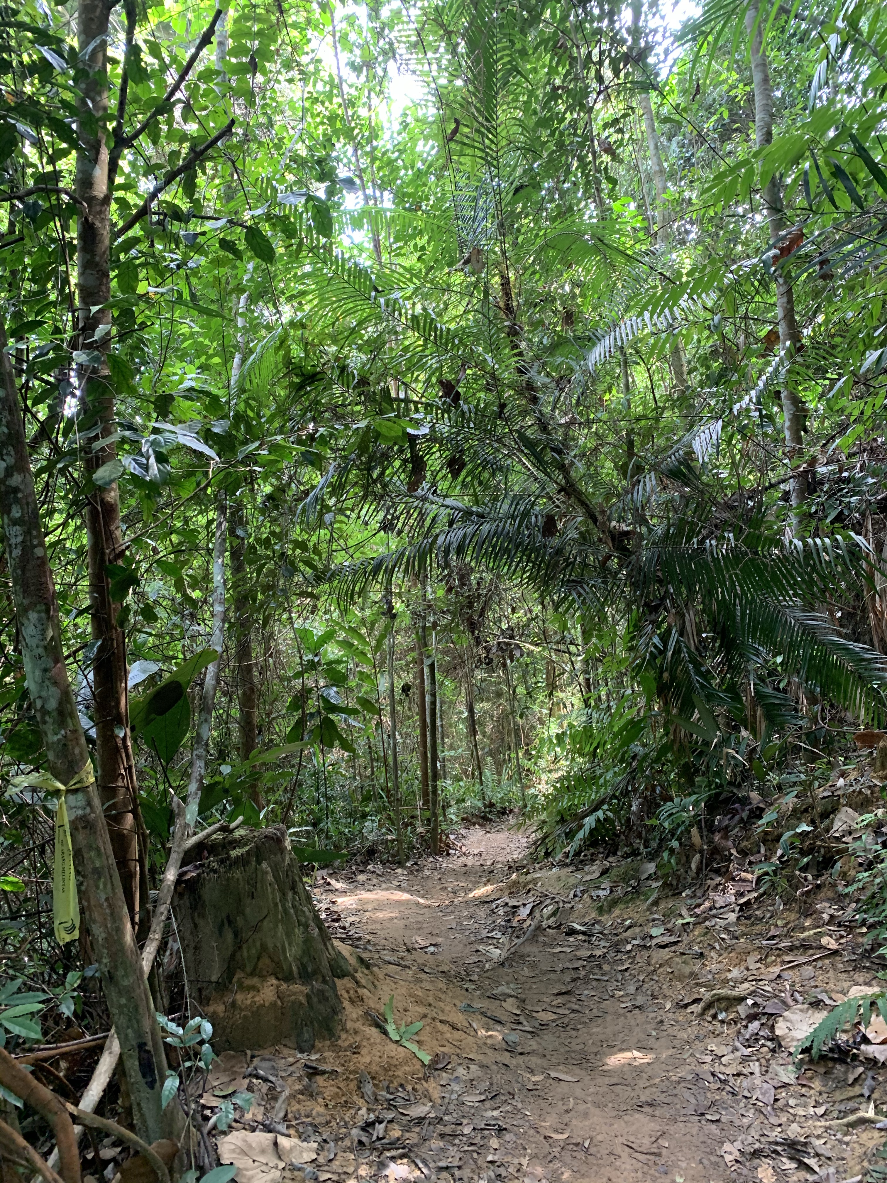
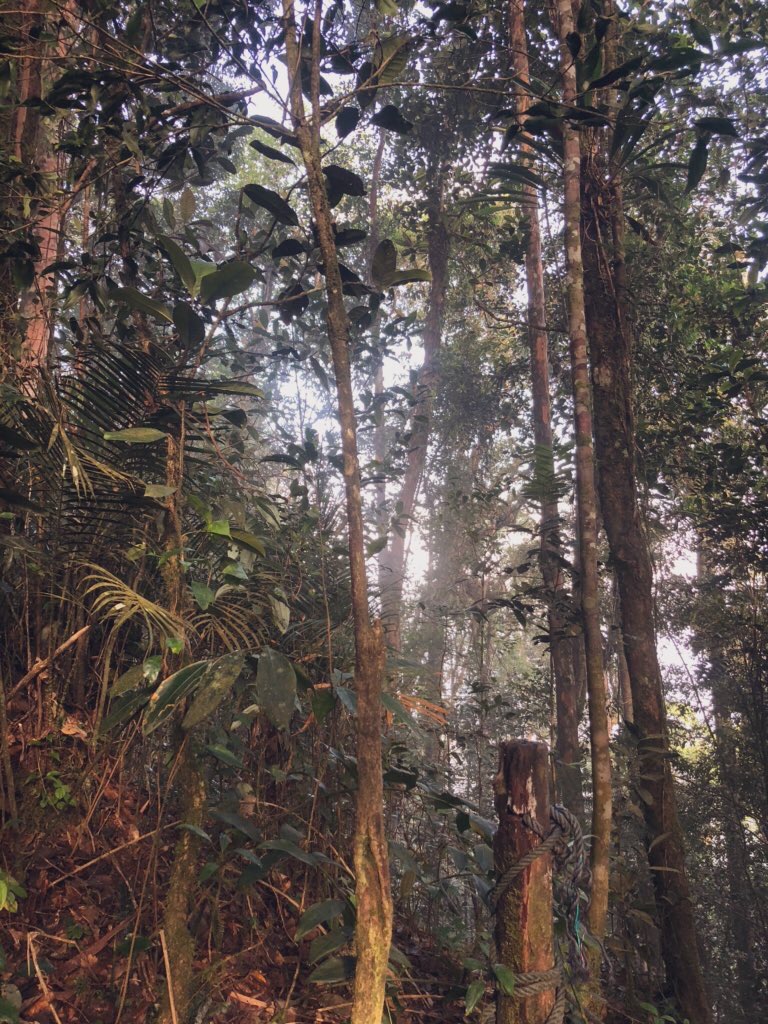
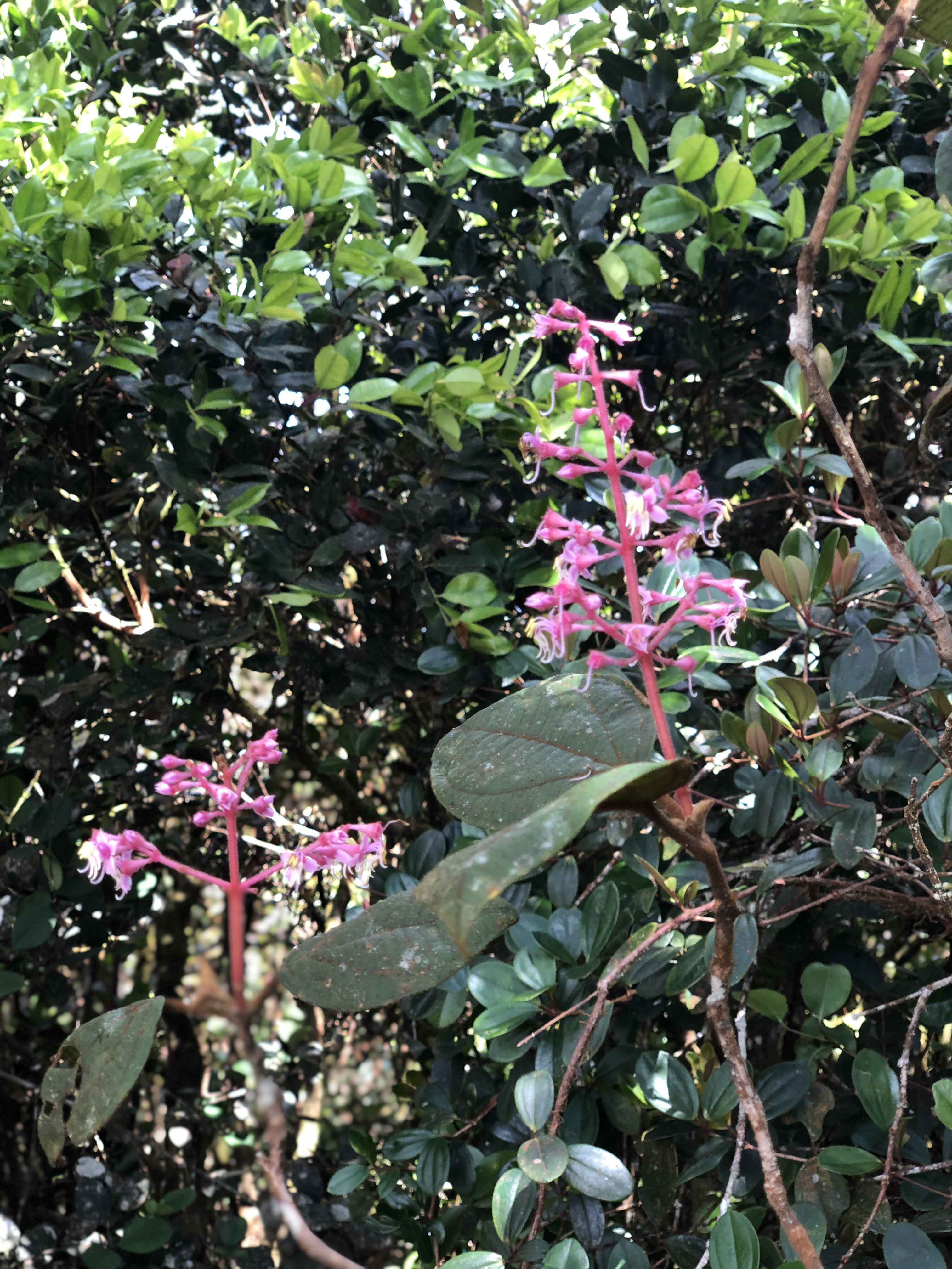
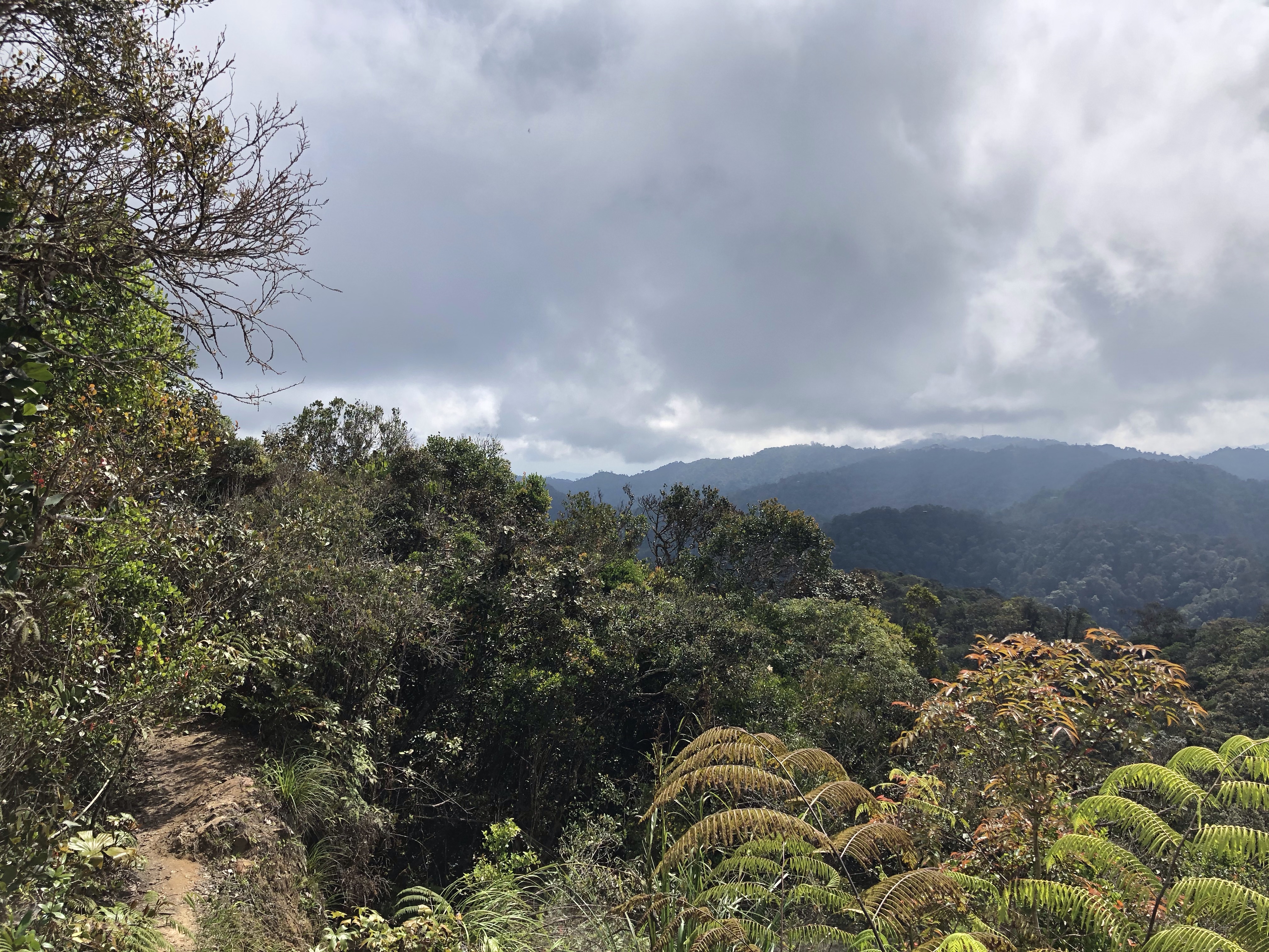
Hiking Pine Tree trail has its ups and downs. However, is it worth the 1.5 – 2 hrs drive (depending on where you’re coming from) to hike this trail? Well, let’s see. While Pine Tree is not your typical Broga hike, we would say that it’s definitely worth the drive and time spent. Pine Tree offers a very scenic view of Titiwangsa range, and gives you a glimpse of that Mossy forest feels as you reach certain heights. We say that it’s not a ‘Broga’ hike and ranked it a moderate because it is not straightforward hike — which means that it is not a consistently uphill trek to the peak. The 5.5 km trail is an up-and-down trail, some of which are steep, some of which are the staircases kind, and these are usually the ones that test your mental strength.
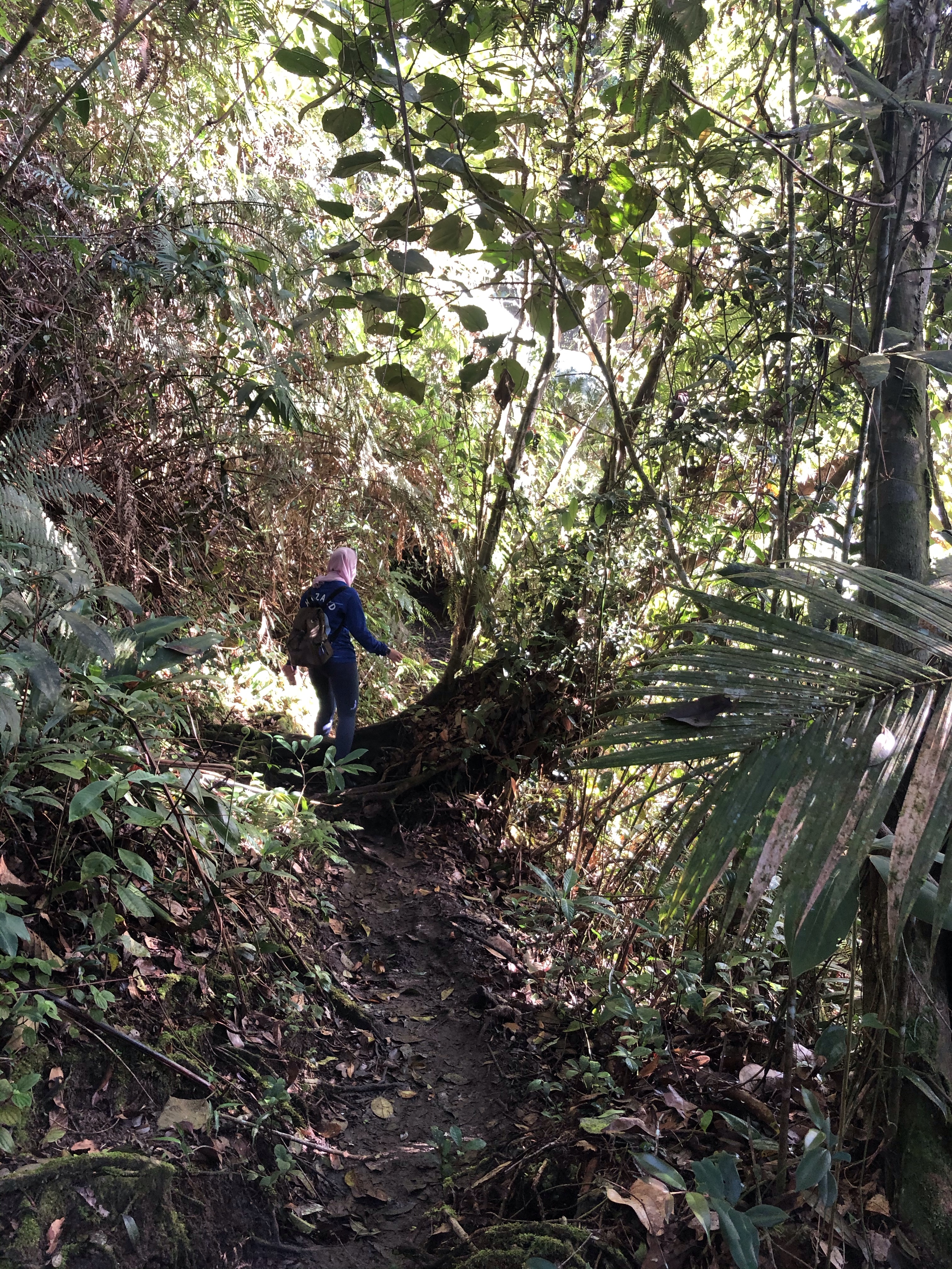
The trail is mostly like this throughout.
Some flatter areas along the way.
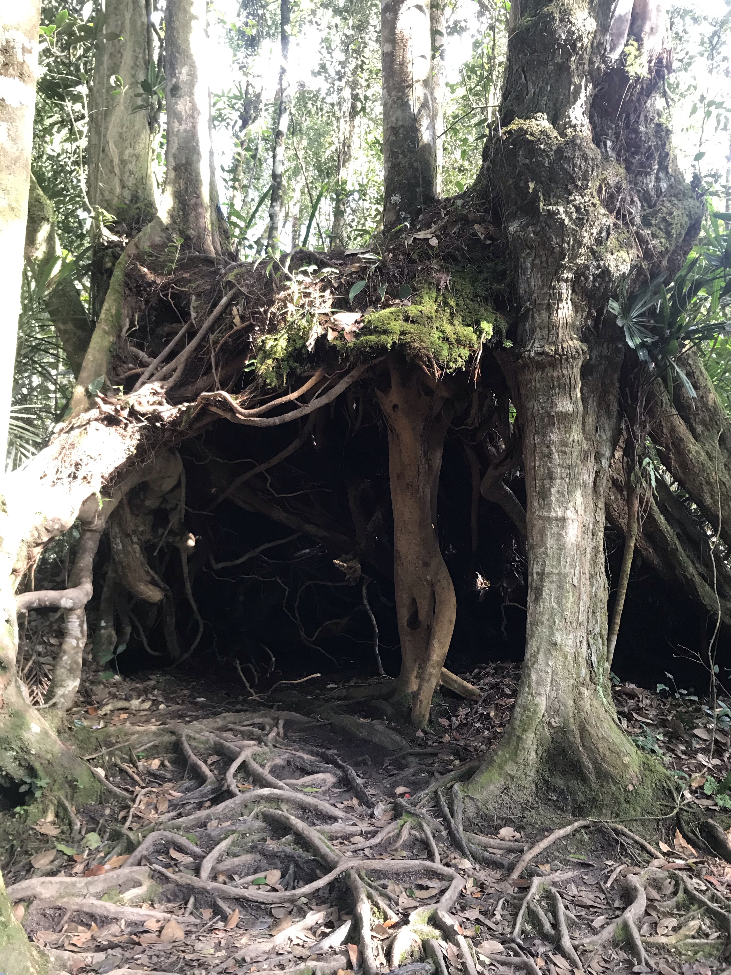
This spot is a checkpoint. You will come across this ‘cave’ after about 1.5 km.
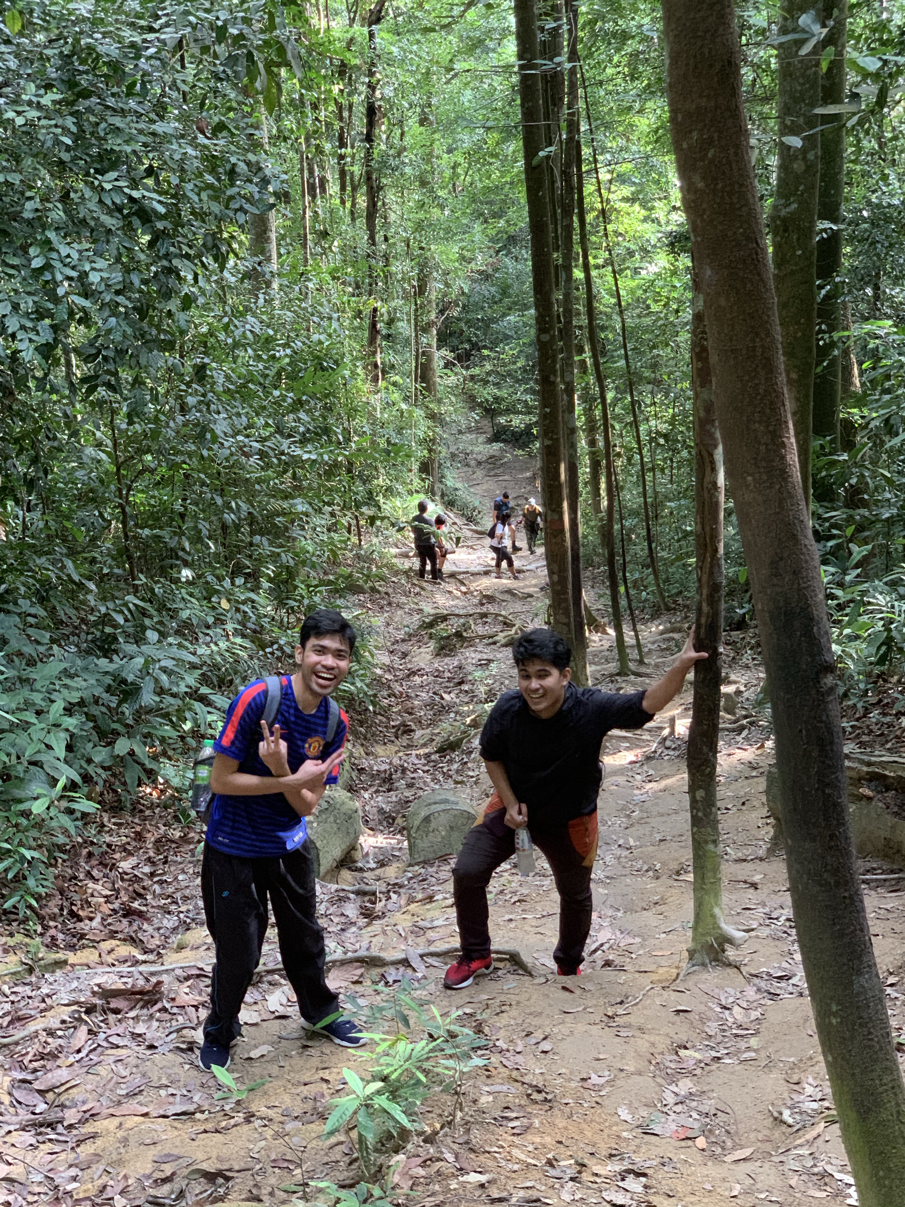
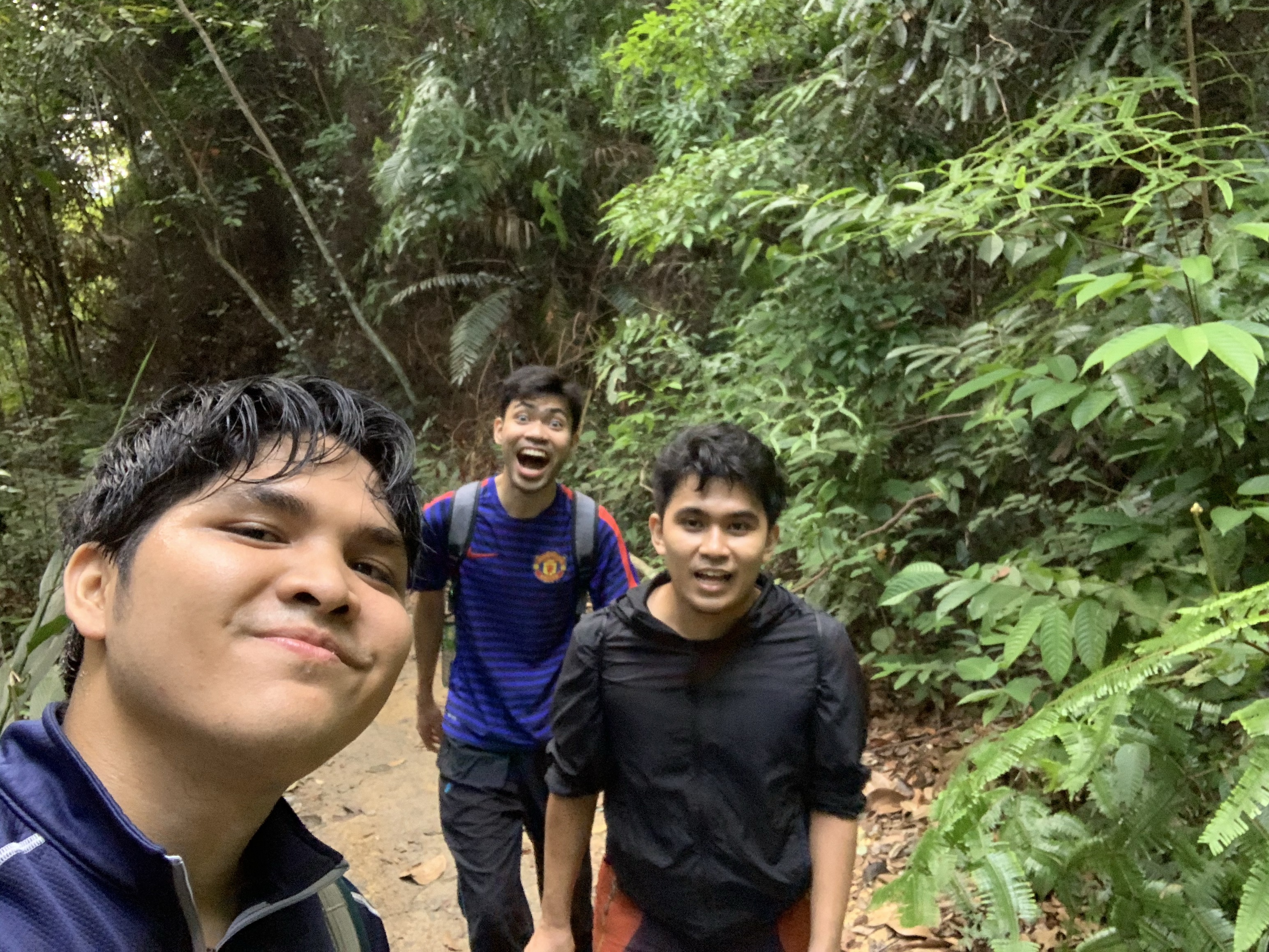
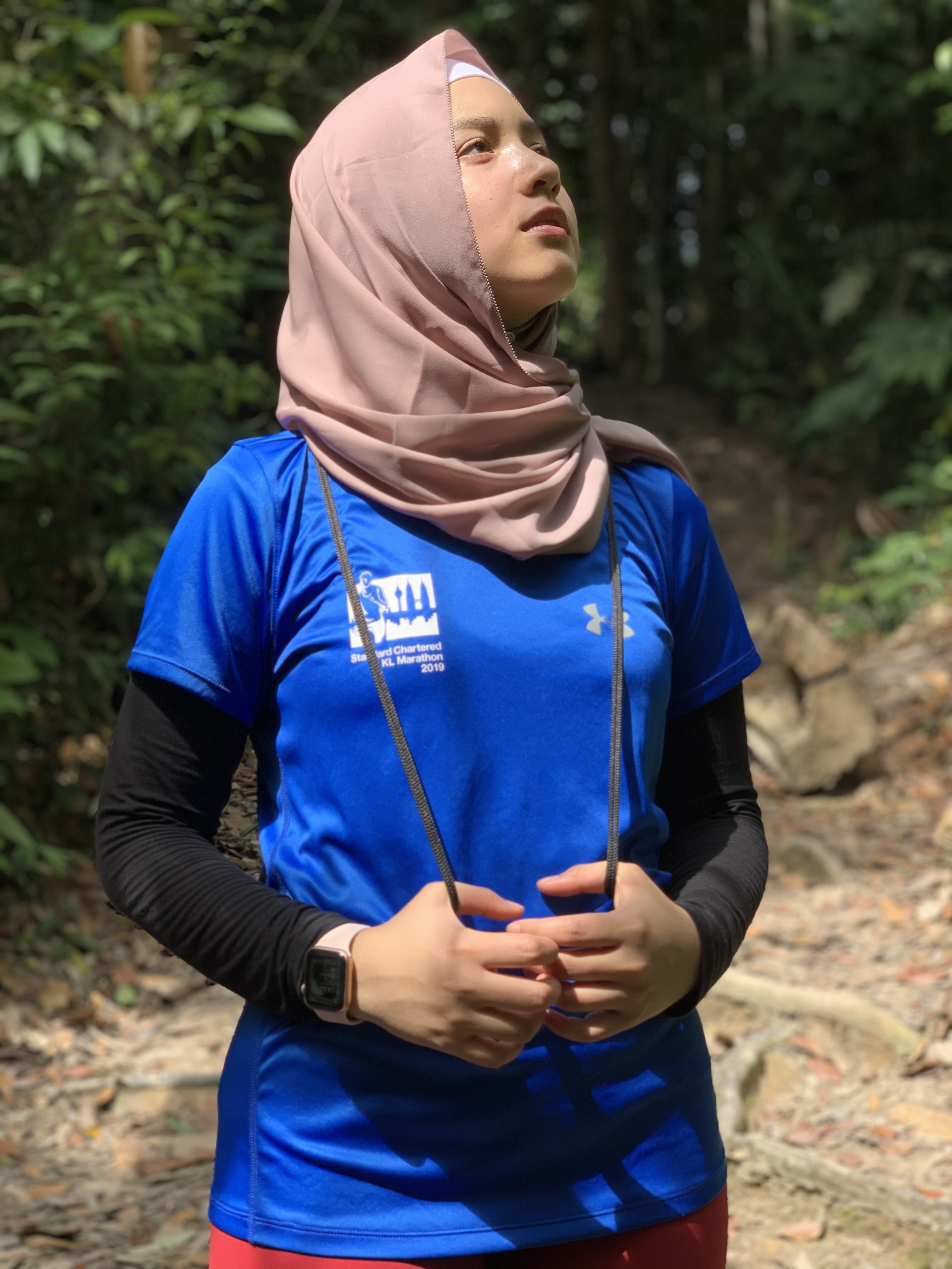
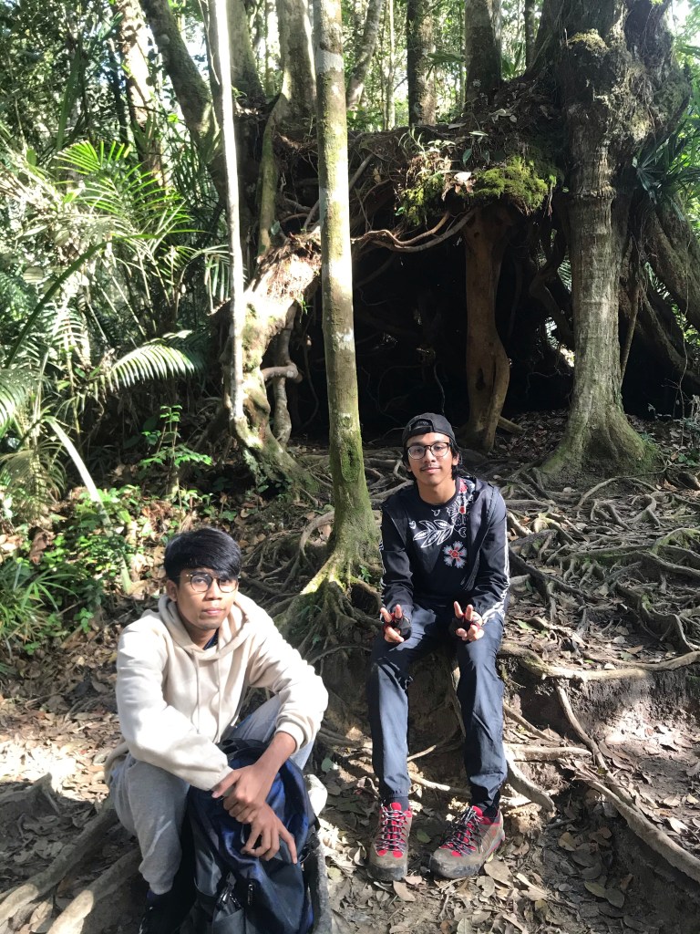
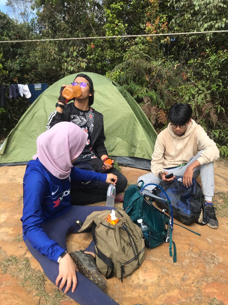
Qayyum and his friend, Asyraf who tagged along this time.
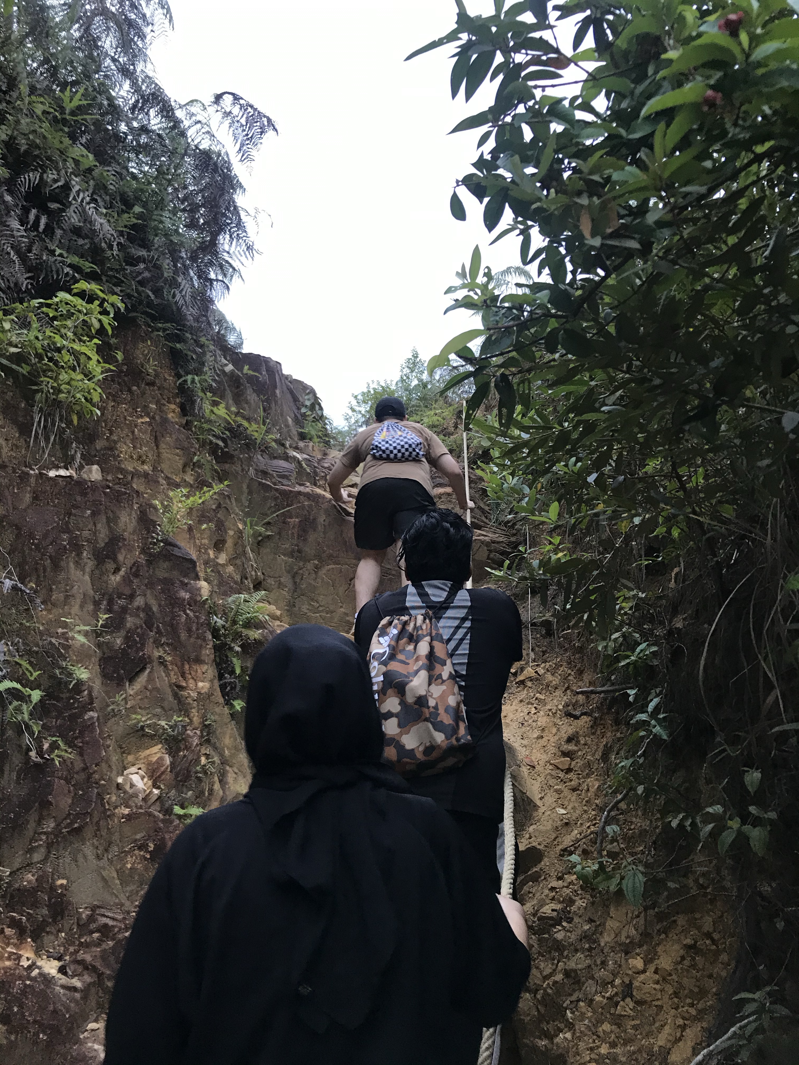
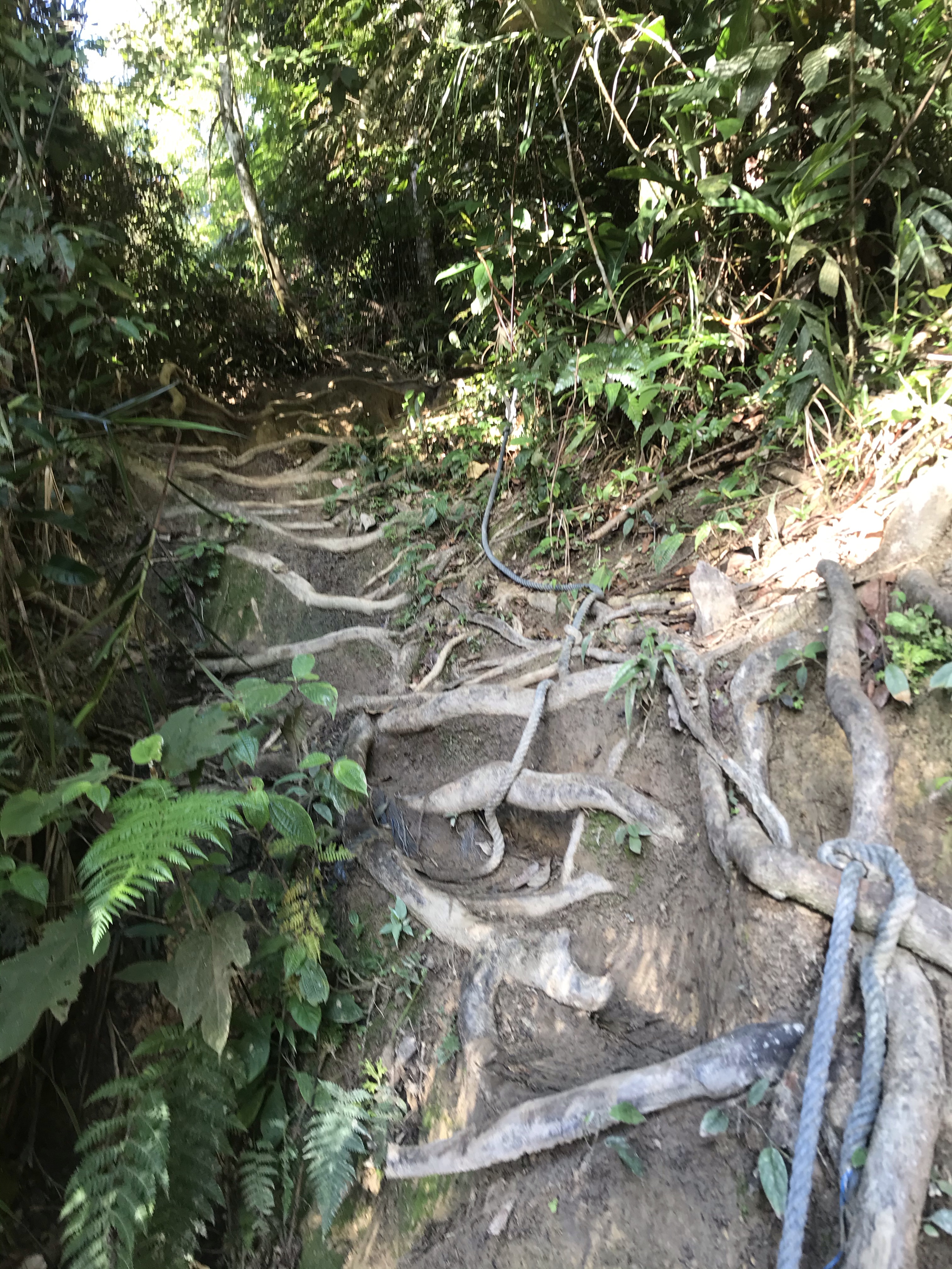
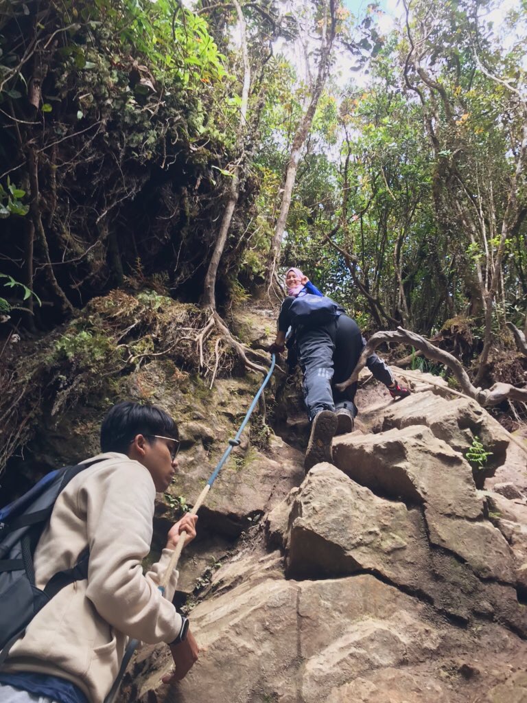
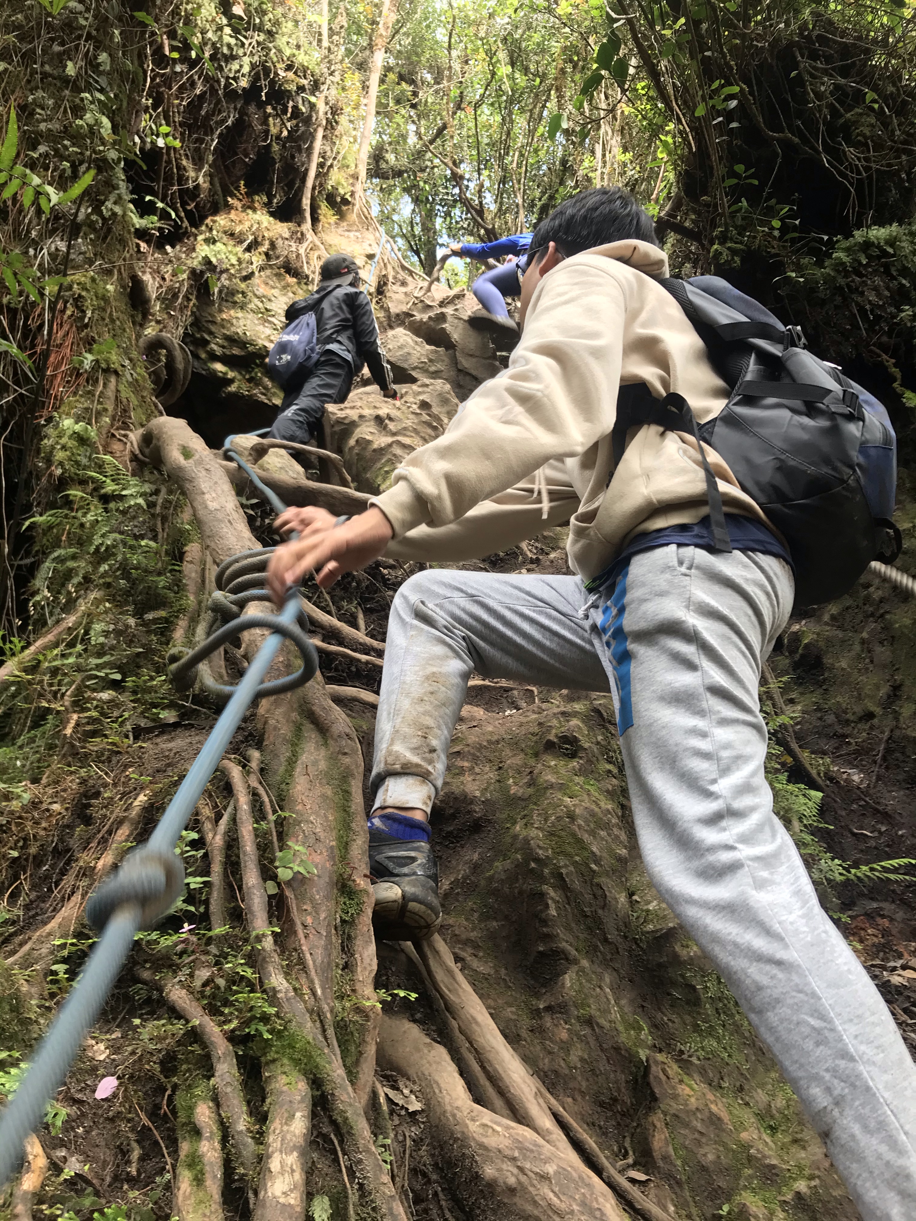
However, fret not, as the journey to the peak is of undeniable beauty. Not many people trek this trail, so you’re surrounded by deep-rich, organic, timeless dense forest. For us, the real fun begins as you’re about to reach the summit, because you have to scramble (ropes available to help you) your way through a 25-m drop of vertical wall. Careful your way up here, especially if you’re scared of heights.
Once you’ve passed through the hardest part, congratulations you’ve made the peak! Feast your eyes for a great view, and if you’re wondering what those tiny looking civilizations ahead are, that’s Bukit Fraser, and yes, you’ve practically hiked all the way from there.
If you have the strength and time to go on, proceed for 1km (30 minutes) for the Twin Peak. We were told that the view is just alike, although at a slightly lower elevation than Pine Tree Hill. Unfortunately, for us, we didn’t really have much time as clouds were moving towards us, and so we were afraid that it was going to rain soon.
The peak also serves as a camping ground, utilized by the folks we met when we reached the peak.
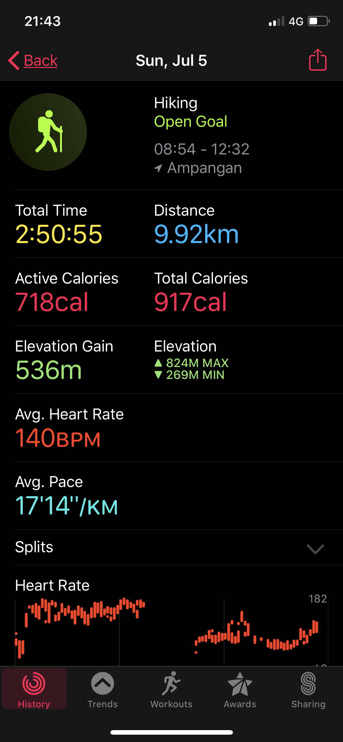
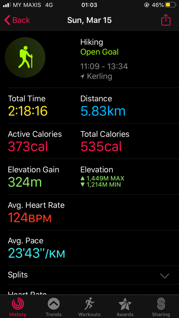
Some statistics on our journey back recorded using Apple Watch, in case it may be useful for you.
Just to recap on the pros and cons of traveling/ hiking here:
Pros:
Beautiful view (aren’t they all?)
Mossy forest feels
Cooler air (high altitude)….
Which brings us to less sweating (but you will sweat nonetheless)
Less human traffic
Cons:
Long drive to trailhead
Steep/ up-and-down hike
Costly town
We say this because of the expensive petrol, and also for the meals that we had.
Unavailable proper gas stations yet
All in all, we think that staying overnight for a weekend trip to Bukit Fraser is a more reasonable option, because you’ll be able to cover more trails than we did since most of these are relatively shorter trails throughout, except for Pine Tree. Pine Tree, as we’re told, has the longest distance among other trails. Plus, it makes a perfect getaway from your busy schedule for a quieter ambience that is only 2 hours away from Kuala Lumpur. However, if you’re like us, not really in the budget for a stay in, Pine Tree is still worth the day’s trip because the view while hiking and at the peak is just amazing.