
If you’re looking for a decent hike to enjoy the greenery, not so the scenery, and to somewhat test your endurance but not so challenging — then this is the perfect hike.
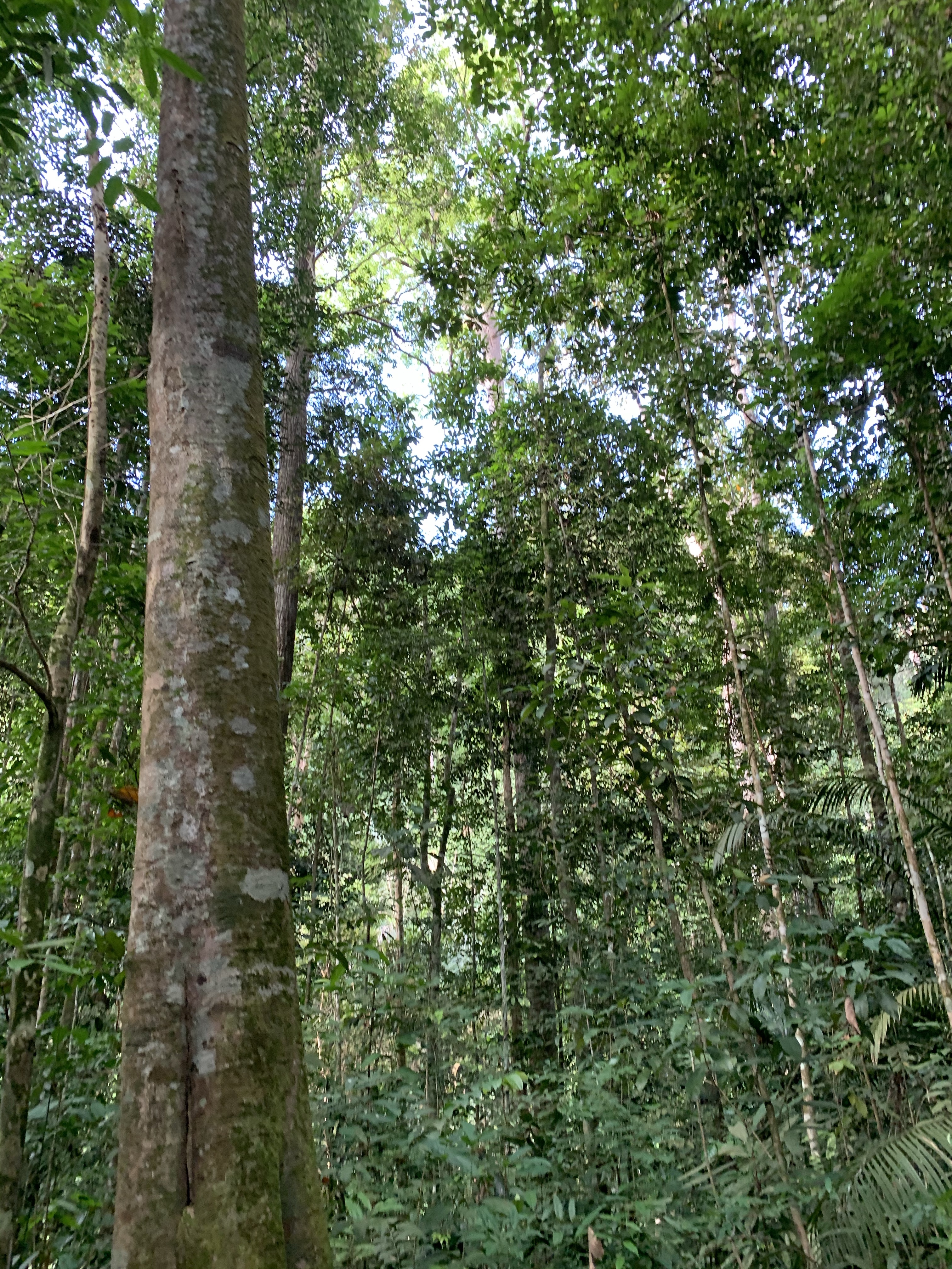
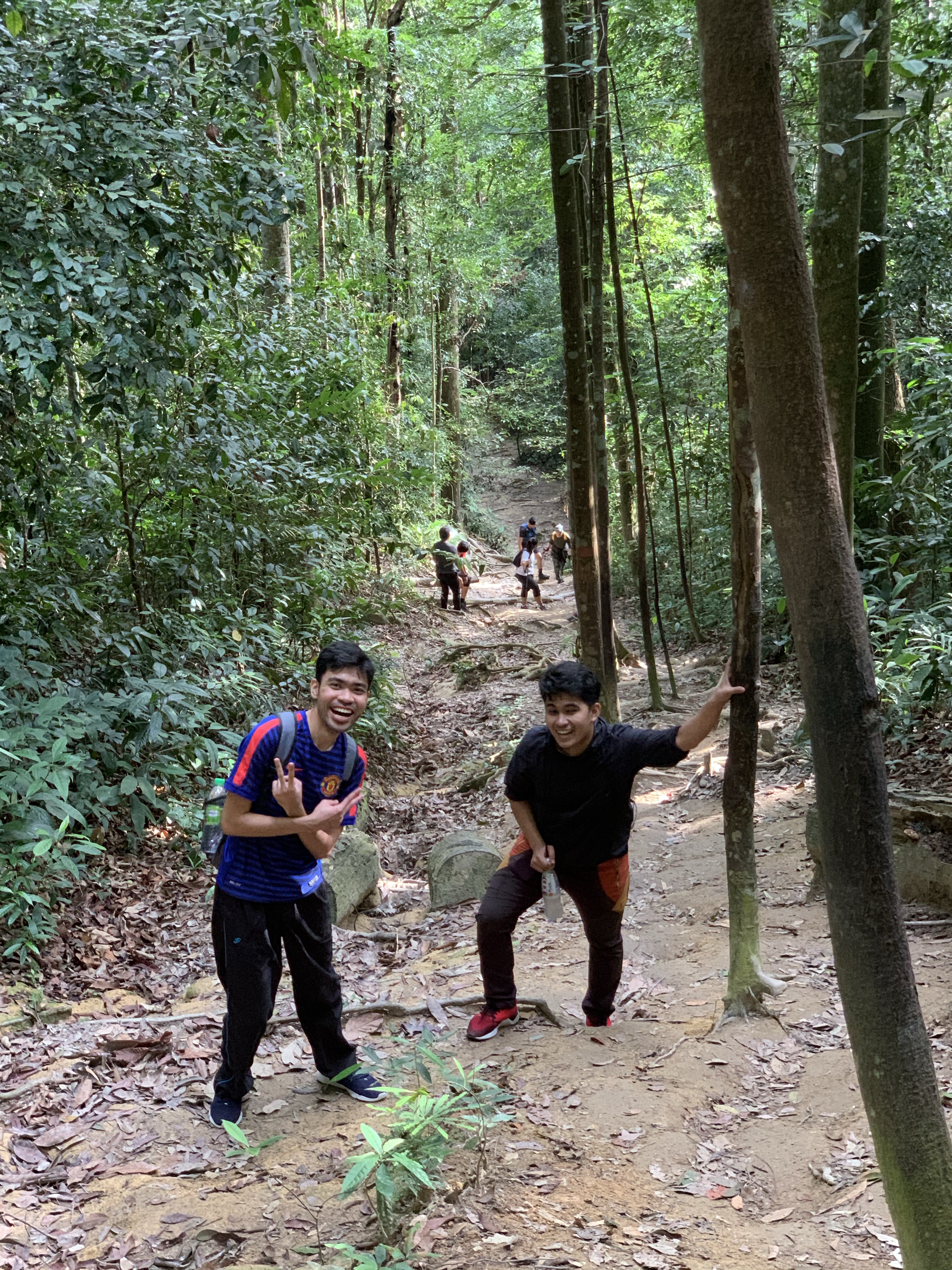
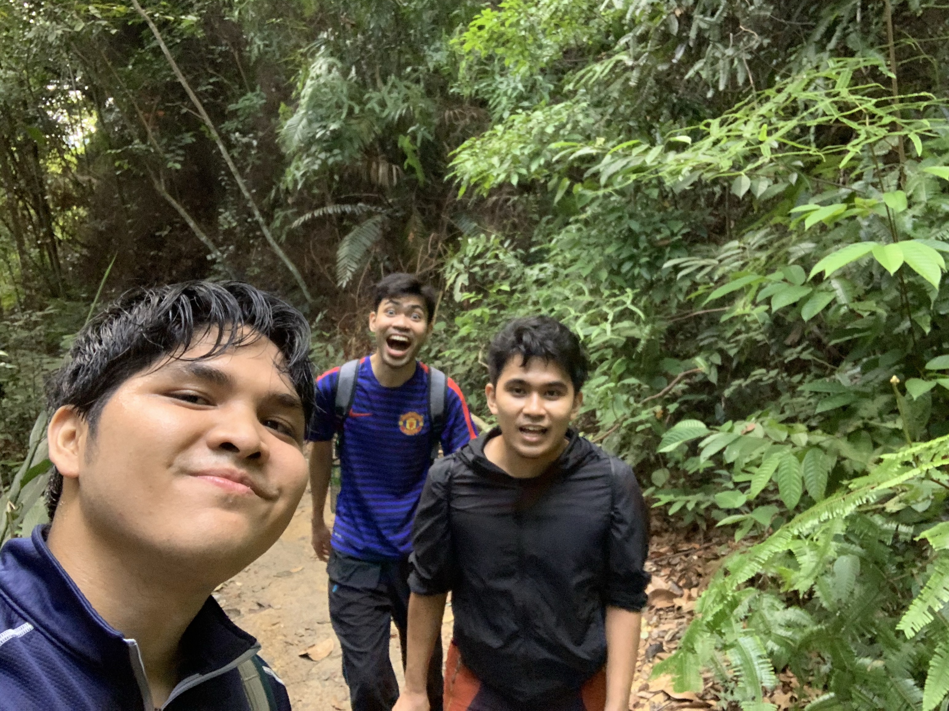
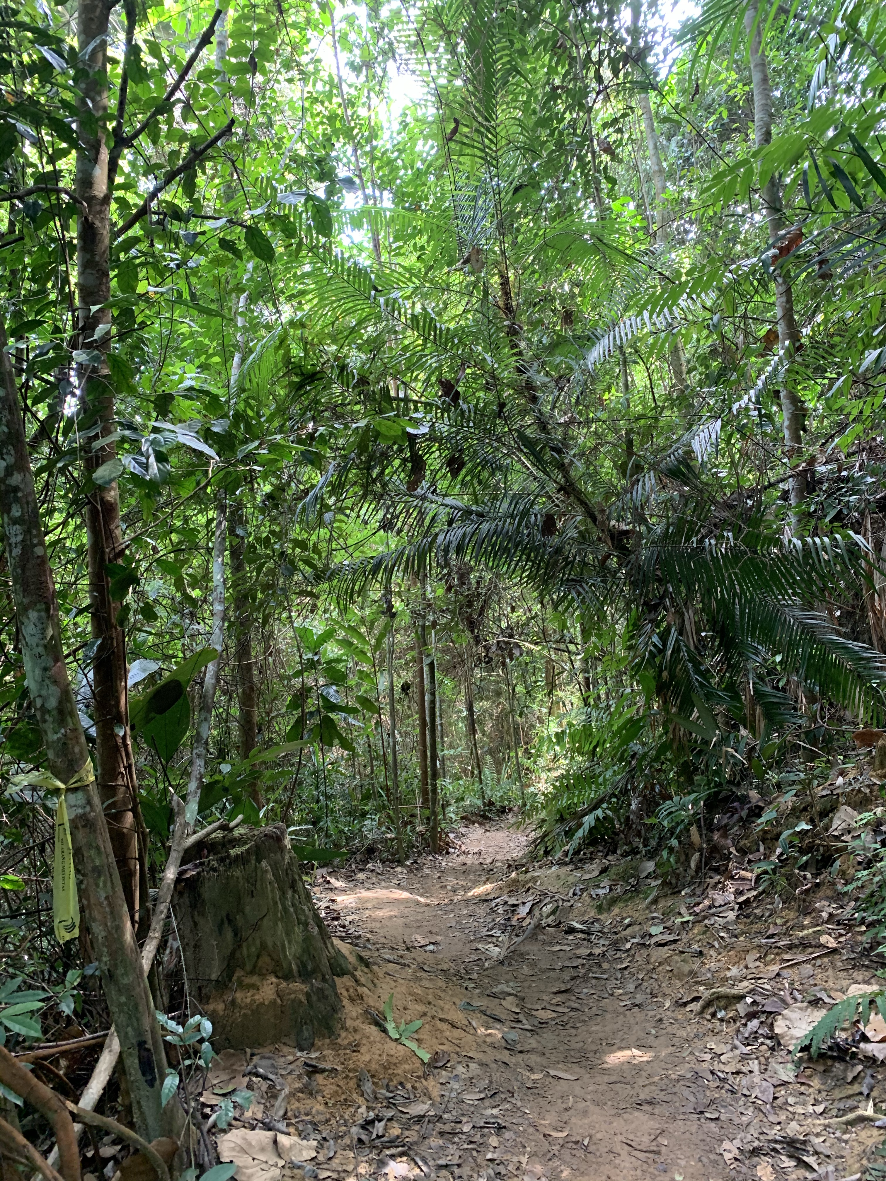
Gunung Angsi challenges you at the beginning portion of the hike, where she welcomes you with a steep ramp that you have to overcome, then going through about 1 kilometre of what seemed an endless yet manageable inclination, then finally leaving the rest of the 4 km or so of a fairly gradual trail throughout… but not exempting the up-and-down passage, hurdling through blockade of trees, and a few muddy sections. Nevertheless, offering you the temptation of a challenging hike, and rewarding you with a peek of only a stretch of the Titiwangsa Range on its jungle-covered summit.
Info:
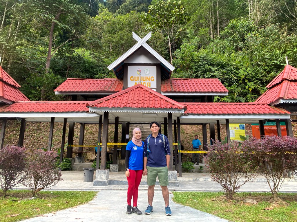
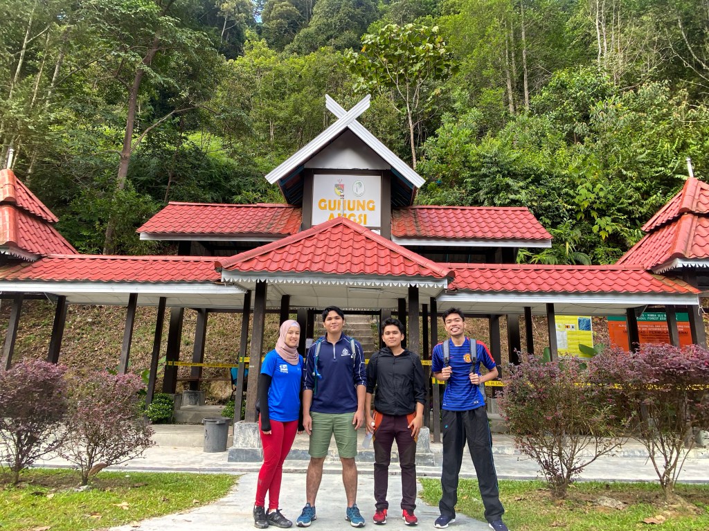
- Location: Hutan Rekreasi Ulu Bendol, Daerah Kuala Pilah, Negeri Sembilan
- Summit elevation: 824 meters (2, 702 ft)
- Elevation gain: 536 m
- Distance: 5km one way
- Duration: 1.5 – 2.5 hours one way
- Permit fee: RM 5 per head
- Parking: Free
- Road condition to trailhead: Tar road all the way.
- Facilities: Toilet is provided.
GPS coordinate: 2.727351N, 102.0562E (Bukit Putus trailhead)
Pics:
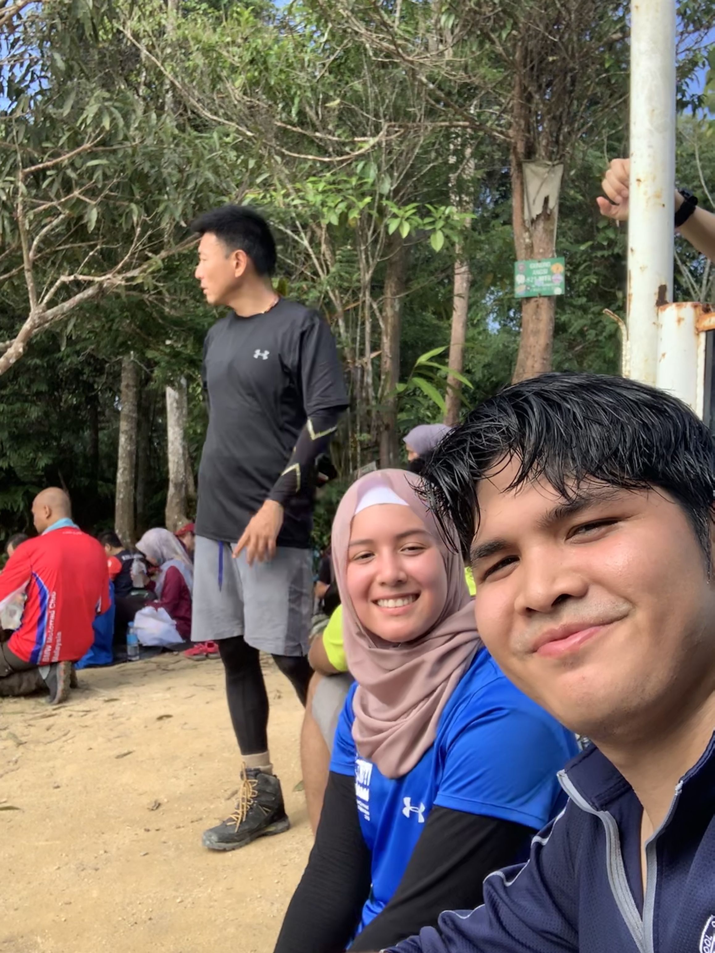
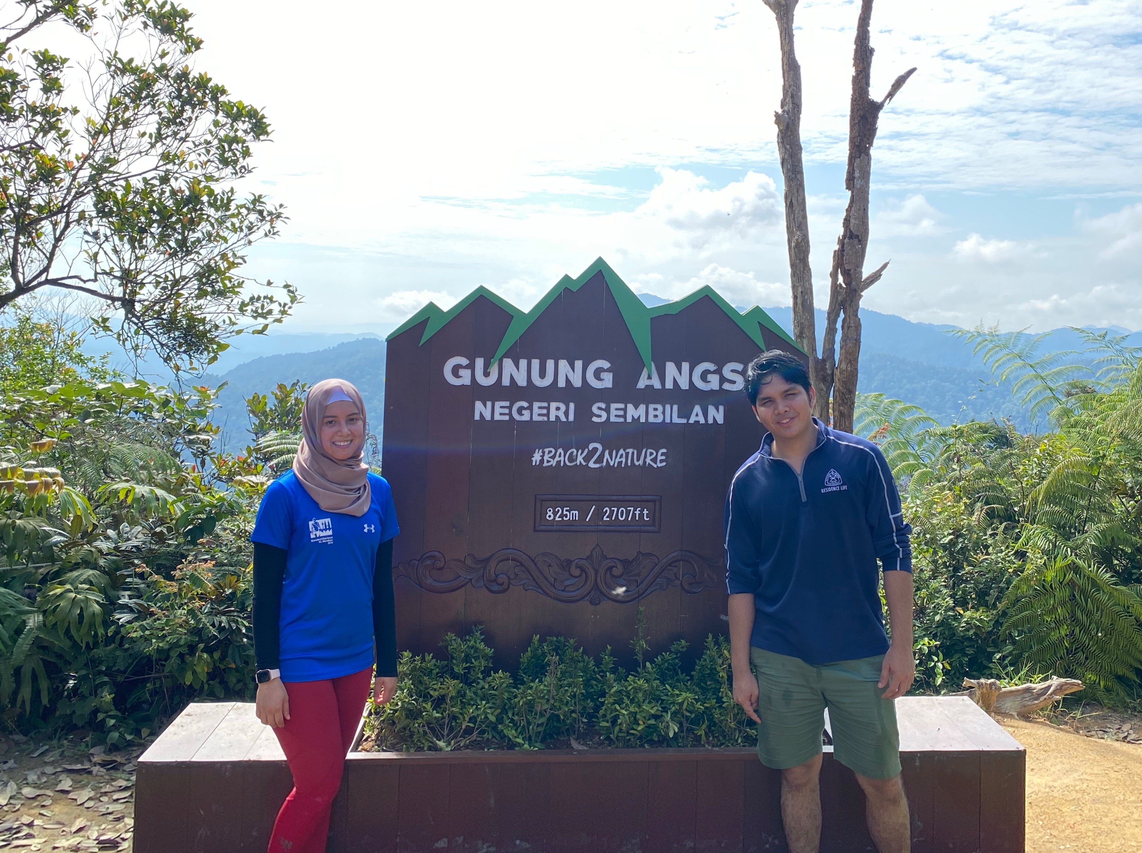
All sparkles (& not sweats) at the peak! 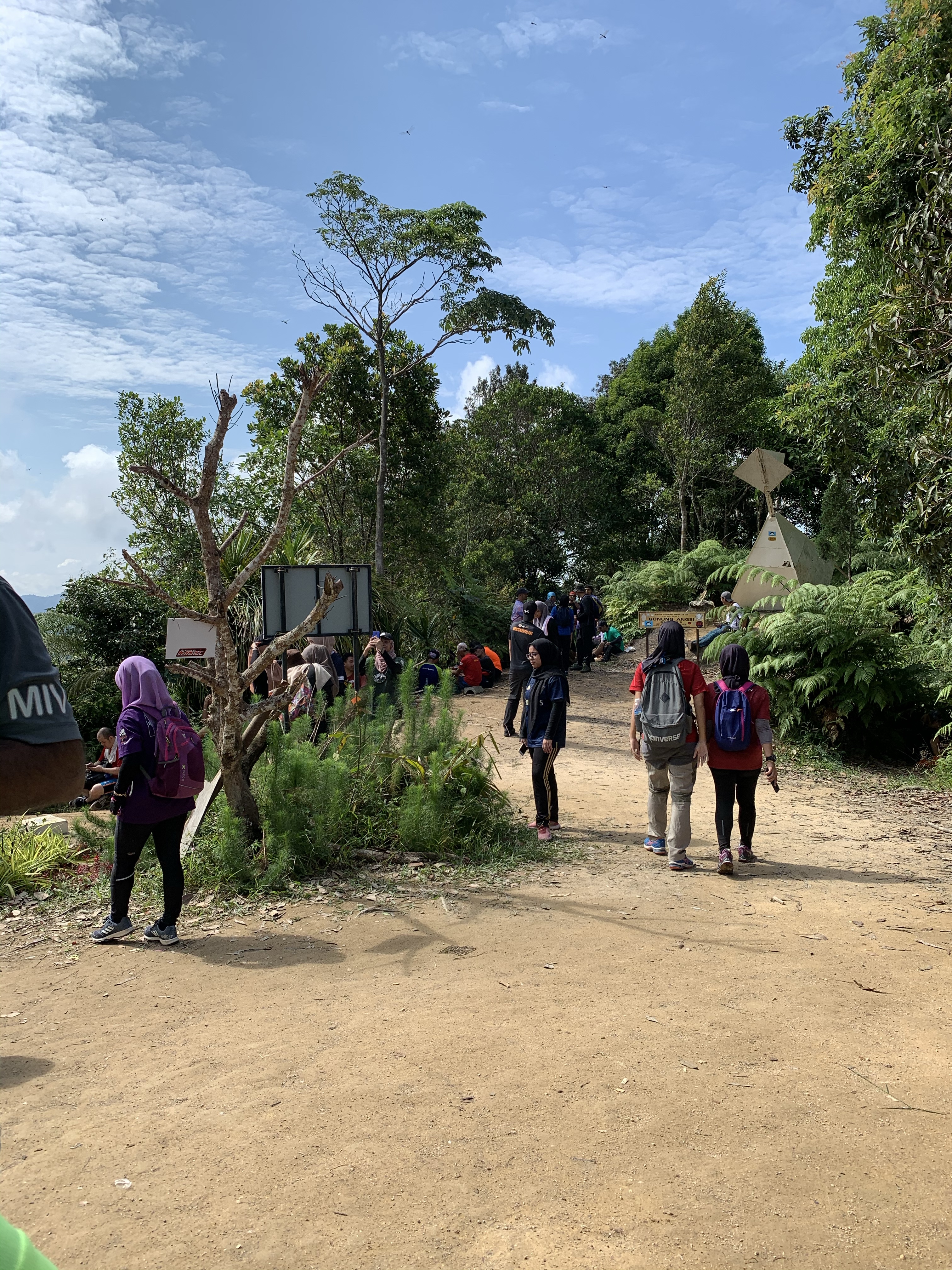
Summit condition at 11am 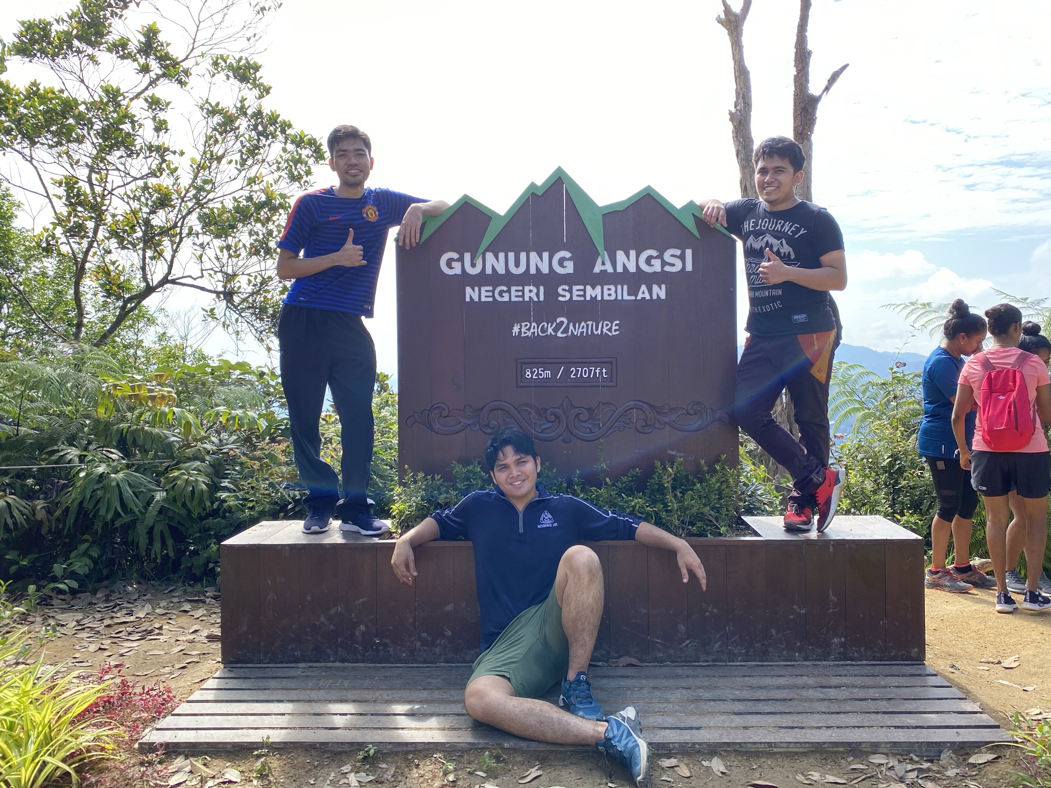
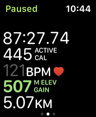
Halfway point stats! Made it to summit in 87 mins. 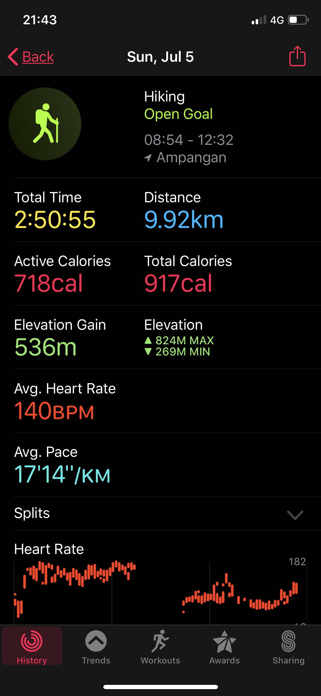
Full stats!
So, if you haven’t been to Gn. Angsi yet, now’s the time to pack your gears, fill up that gas, and enjoy a good, much-needed hike!
